Google Maps Walking Adventure

I use Google Maps all the time. It is really convenient, and for the most part it works well with various types of travel modes. I probably use it more for walking routes and public transportation than I do for driving. It is far from perfect, and it has a truly annoying habit of refusing to show public transport routes only without cars. It has an annoying habit of telling me to take a car to a subway station, which is just plain silly. You can tell it to give you a no car option, but you have to select that option every single time you use it on the phone. Still, it is useful.

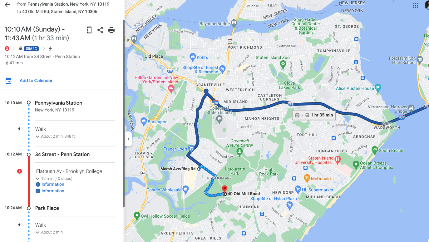
There is a guided walk on Staten Island that I am interested in joining, so I used Google Maps to determine how I could get there on public transportation. Whenever I am in New York City, I always stay in the Penn Station area, so I mapped how to get to the starting point from Penn Station. Below is the route focusing on the Staten Island portion.

Google Maps route from Penn Station using public transportation

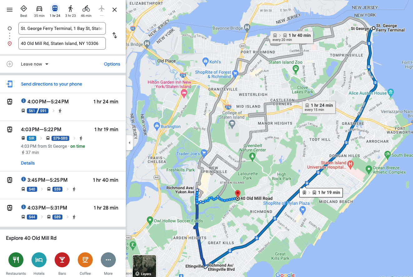
The route involves quite a bit of walking from the final bus stop to the walking tour location, and it did not seem like the quickest route. I noticed that the Staten Island Railway (SIR) has a station not too far from the tour location, and it looks like one of the stations was a shorter route, so I had Google route me from the ferry terminal, which is the terminal for the SIR.

Google Maps route using SIR

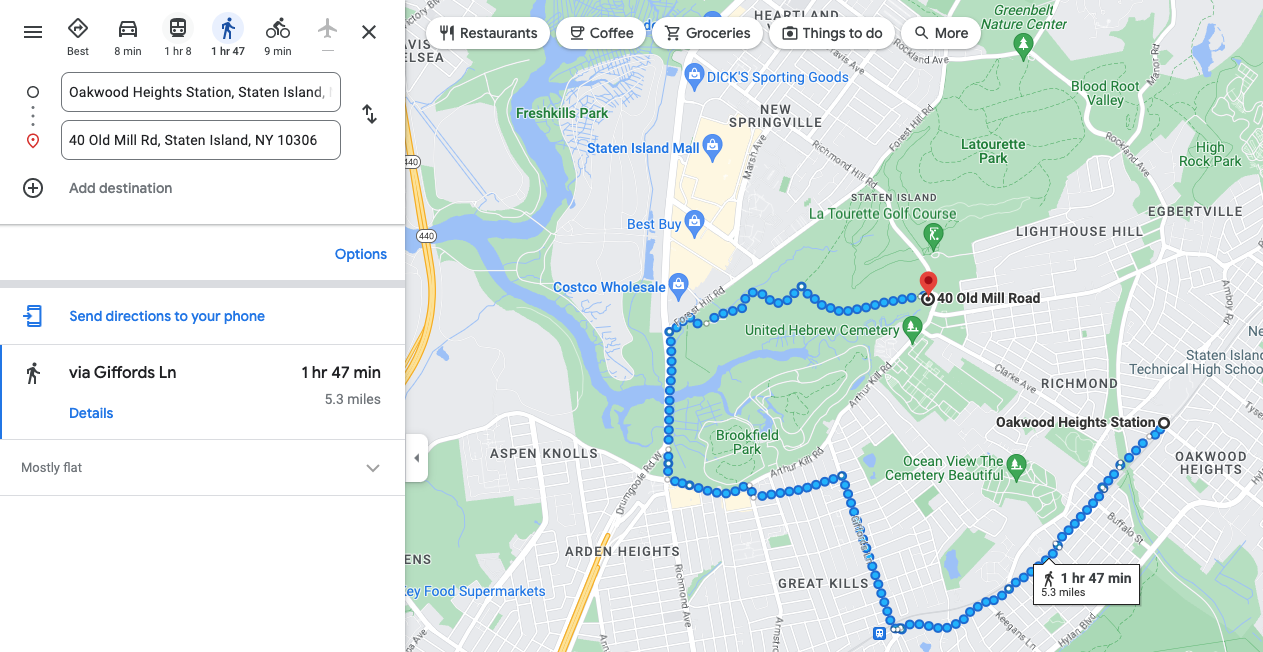
Google Maps obliged and routed me via SIR, but the route seemed even more circuitous. It routes me three stops past the closest one to a bus. It then takes me on the scenic route to the walking tour location. I tried then to get it to route me from the closest SIR station to tour location.

Google Maps route from Oakwood Heights Station

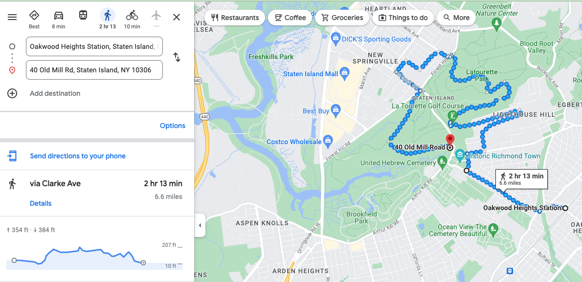
Google Maps really wants me to take a walking tour of Staten Island, I guess. This is clearly not the most direct route. I then tried to force it to take me on the more direct route by moving the route. Things just got silly at that point.

Google Maps route from Oakwood Heights Station after I tried to steer it to a more direct route

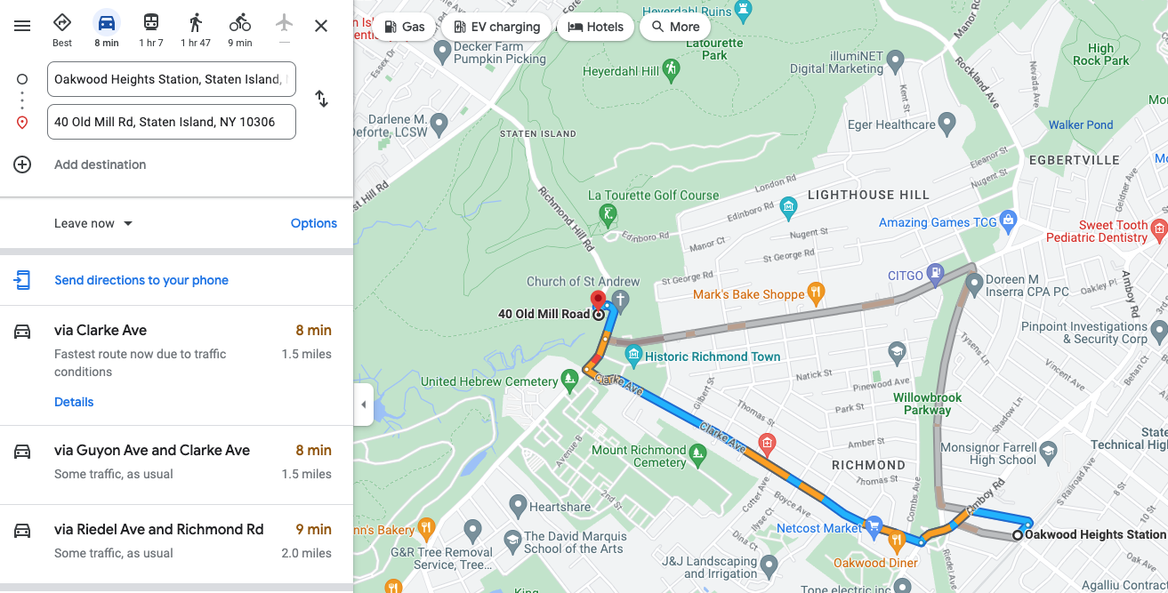
This clearly is an absurd route, and it also seems to be taking me on a tour of a golf course, which is probably not an actual walking route. I thought perhaps I was missing something, like a road that was not open or something, so I had it route me from the same starting to ending point but in a car.

Auto route

What do you know, it knows there is a direct route, but it just refuses to believe you can walk it. I played with it for quite a bit. I also used street view to try to figure out why it would not let me walk on the same street it would let me drive.

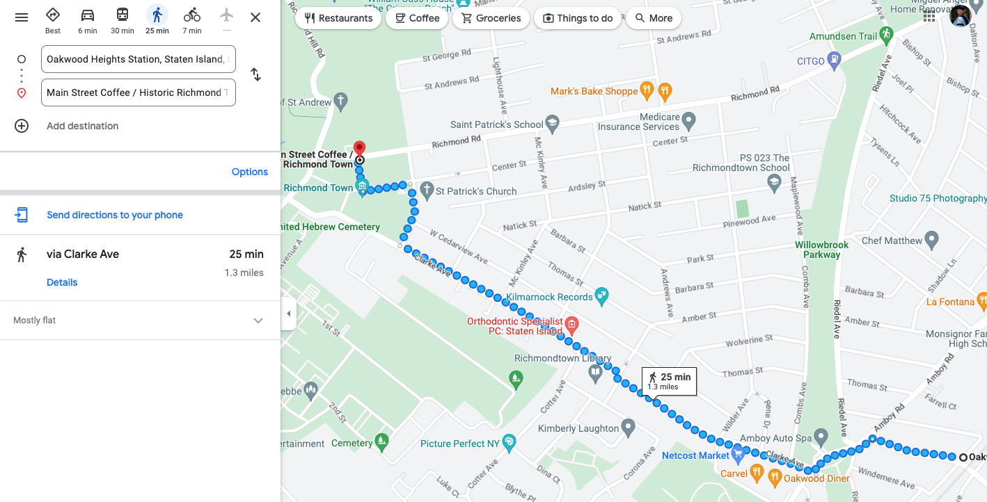
Google Maps route from Oakwood Heights Station to coffee shop

After much experimenting, I finally found that it would give me a direct walking route to a nearby coffee shop. I still don’t know why Google Maps will not let me walk directly on to where I want to walk. My best guess is that part of the walk does not have sidewalks. The route definitely does not involve some sort of freeway or similar where it would be dangerous for a pedestrian. However, the answer can’t be lack of sidewalks because a part of the route above does not have sidewalks either based on Google street view. Thus, I don’t know.

TL/DR: AI is not taking over the world yet, at least for navigation.

Denali National Park Hiking

One day in Denali was completely full with the bus tour and with rafting. We planned another day for hiking, and the hiking in Denali, just around the visitor’s center is wonderful. We didn’t have time to do much hiking, but based on the maps, you could spend a couple of days hiking just on the trails. Then of course, you could spend lots more time doing off trail hiking. Right now, so many wild flowers are in bloom that the trails are full of color. The trees are green, and it is just wonderful.

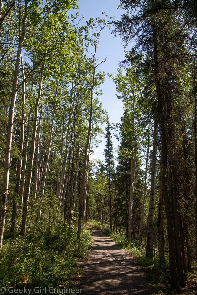
Bike Path back to visitor’s center

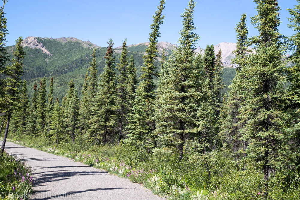
Trees lining the trail

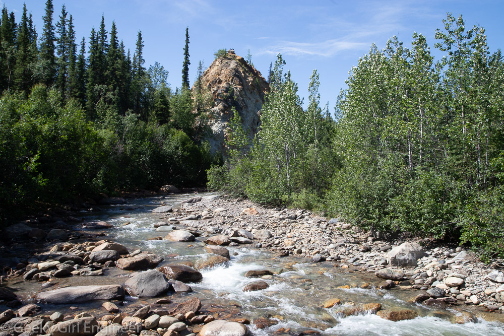
Hines Creek

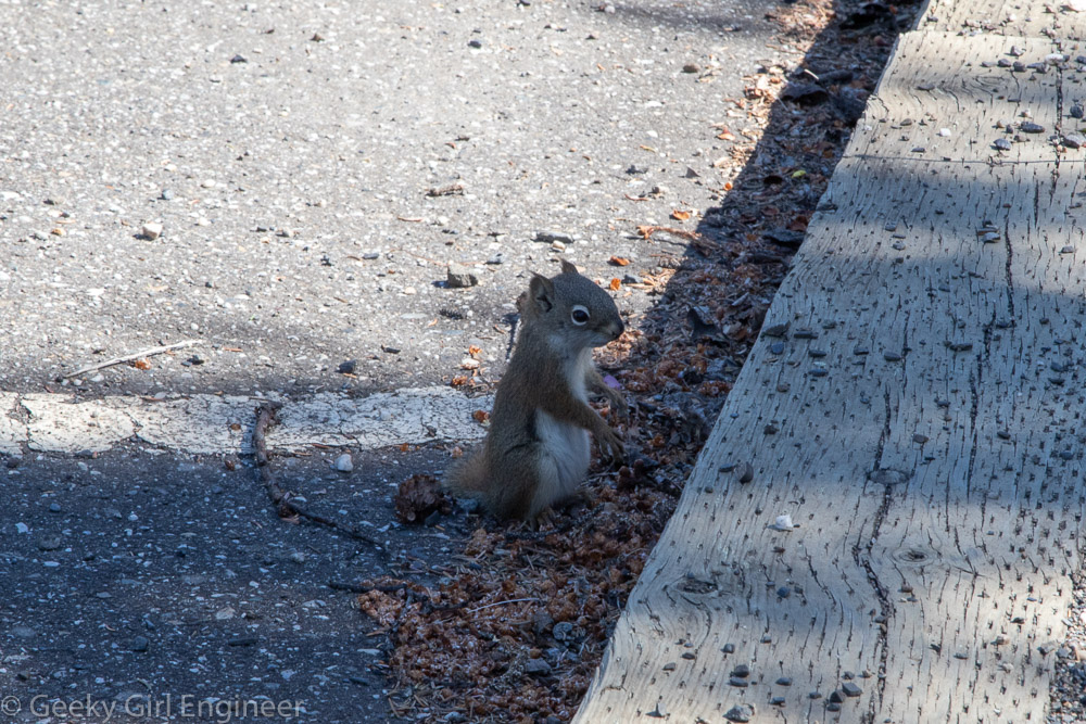
Arctic Ground Squirrel in the parking lot

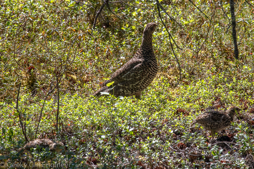
Spruce Grouse (hen with two chicks in the front)

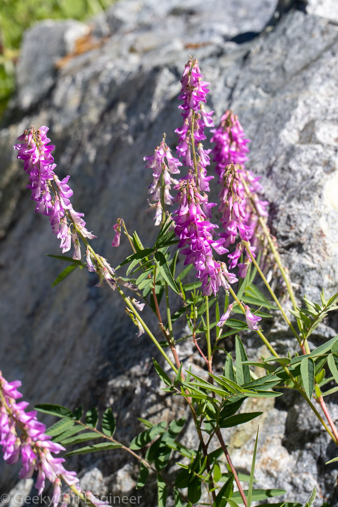
Hedysarum alpinum (Alpine Sweetvetch)

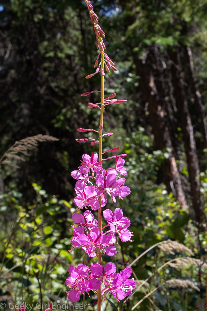
Chamerion angustifolium (Fireweed)

Juneau, Alaska

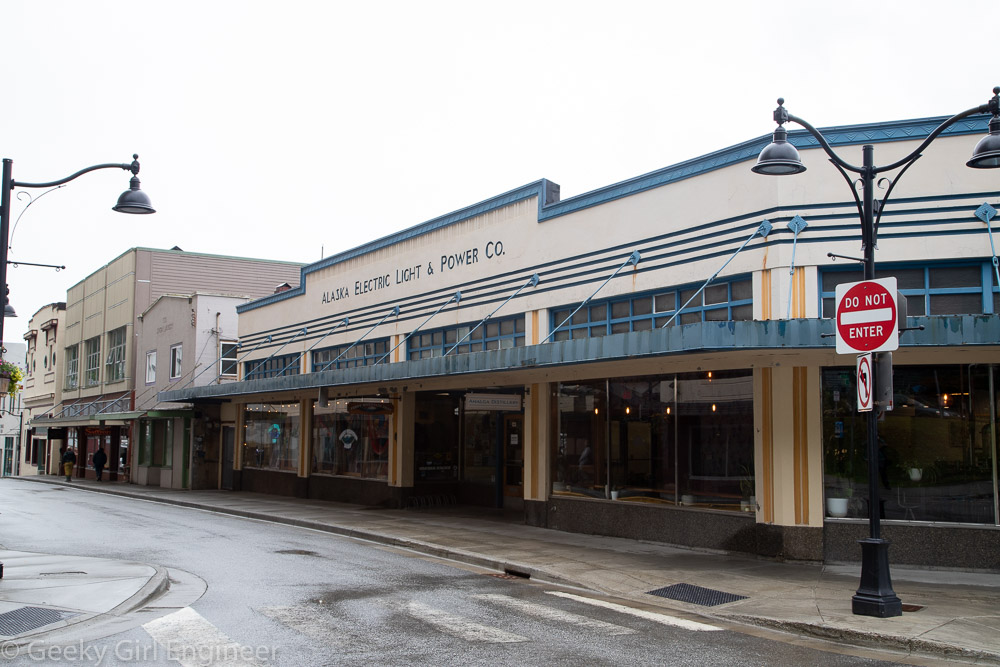
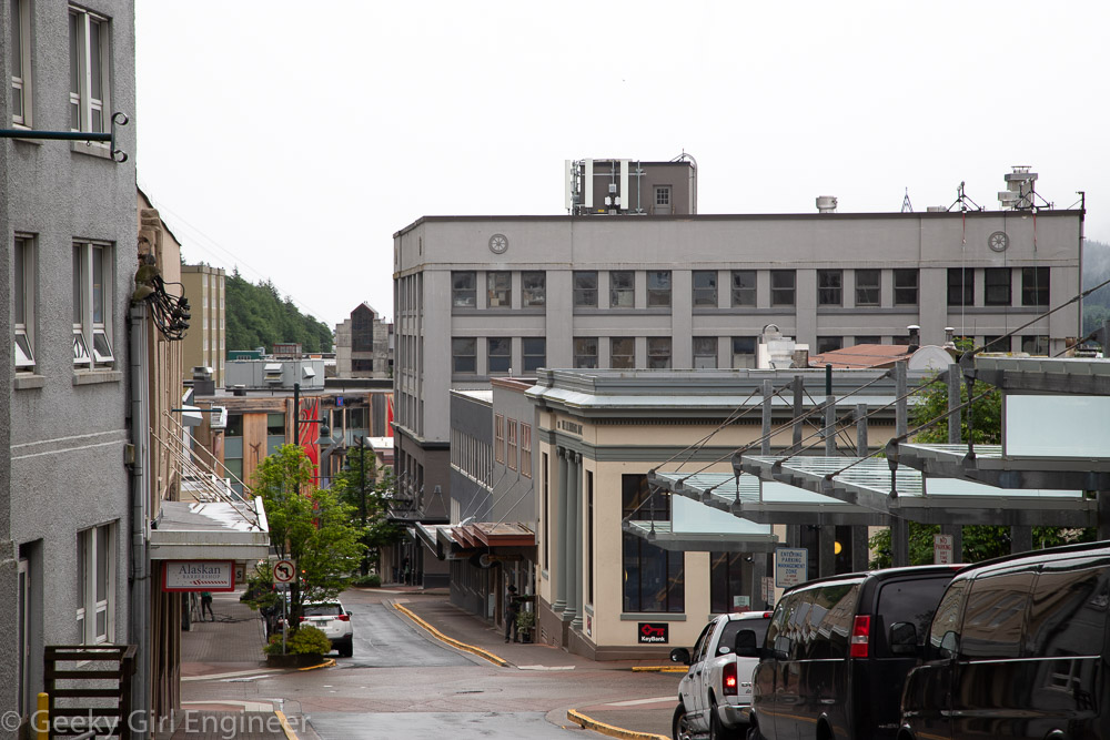
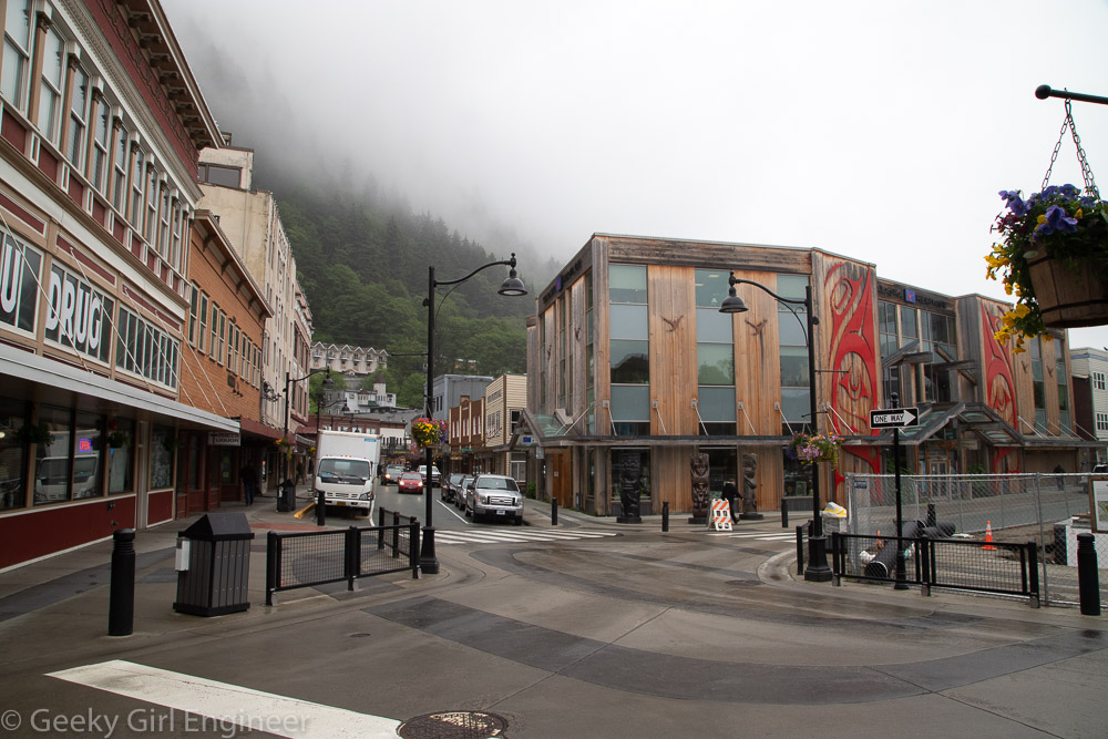
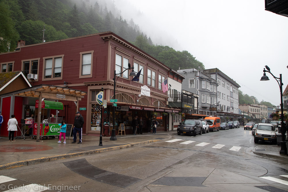
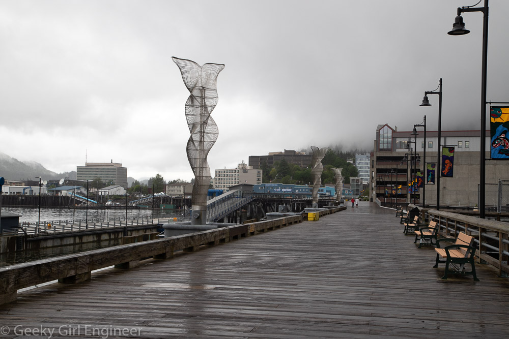
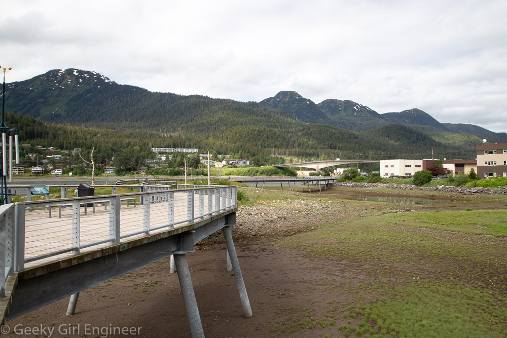
I have been in Juneau for several days now, and I have had a chance to walk around historic and not completely historic downtown quite a bit. Juneau reminds me of many older cities where they still have some of the historic buildings, which in many cases have been restored and repurposed, and they have new buildings mixed in with the old ones. There is a Main Street, but the main street seems to be more Franklin Street, although with so many shops closed because of lack of cruises, downtown is slightly not normal. However because there are no cruise ships, Juneau is easy and pleasant to walk around, as in not crowded, and you can actually stand on the docks and look across the water to Douglas Island. Near downtown, Juneau has a seawalk, which is nice walk to view the water and tidal flats. Ravens are everywhere, but bald eagles are not as easily sighted.

Old Alaska Electric Light & Power building

Looking down Seward Street

Sealaska

Franklin Street

Docks

Seawalk

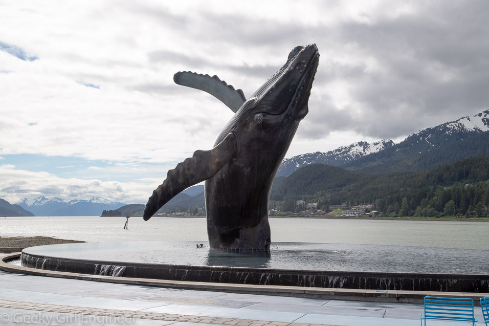
The Whale Project

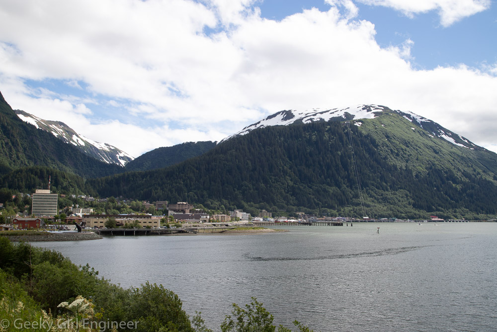
Looking to Juneau from Douglas Island across Gastineau Channel

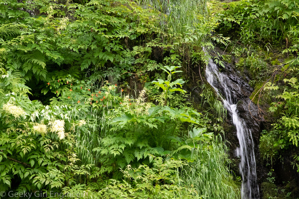
Gold Creek Flume Trail

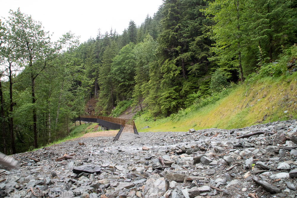
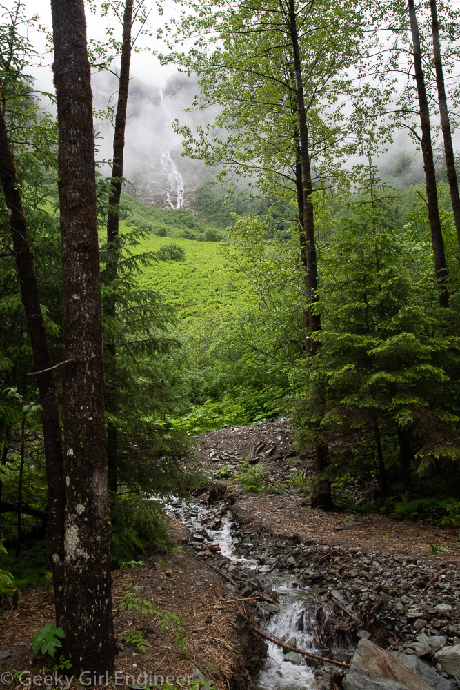
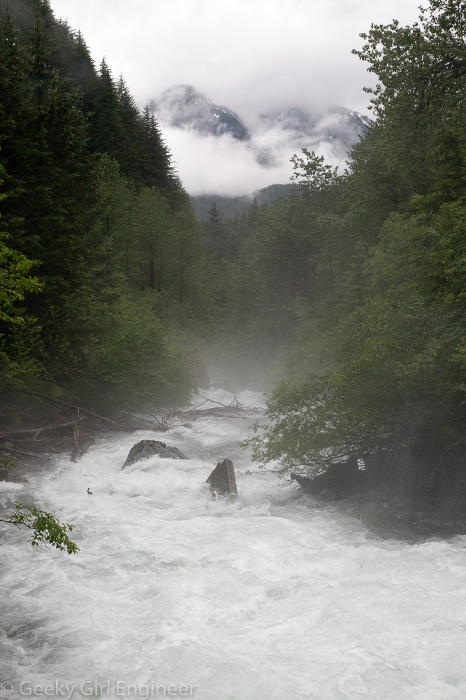
The rain stopped for just a little bit this afternoon, so we went hiking on the Gold Creek Flume Trail, which is close to downtown Juneau. As far as I can tell, the entire trail is on top of a flume that takes water from the Gold Creek to a hydroelectric plant. With the exception of a small segment where a rock slide seems to be on top of the flume, it is a really easy trail to walk on, as you are on wooden planks. It is a nice hike through the woods with views of Gold Creek below and the mountains above. The western end is where the flume heads down the mountain. The eastern end seems to be where the flume separates from Gold Creek.

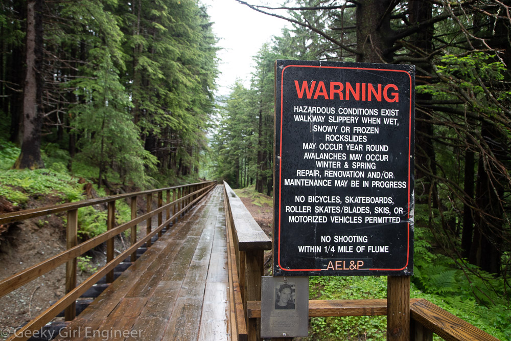
The western end of the trail has a very Alaska warning sign because Alaska. Only missing warning about bears.

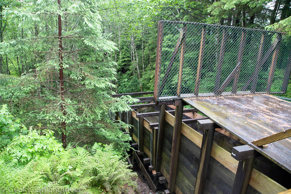
Flume flows down the mountain

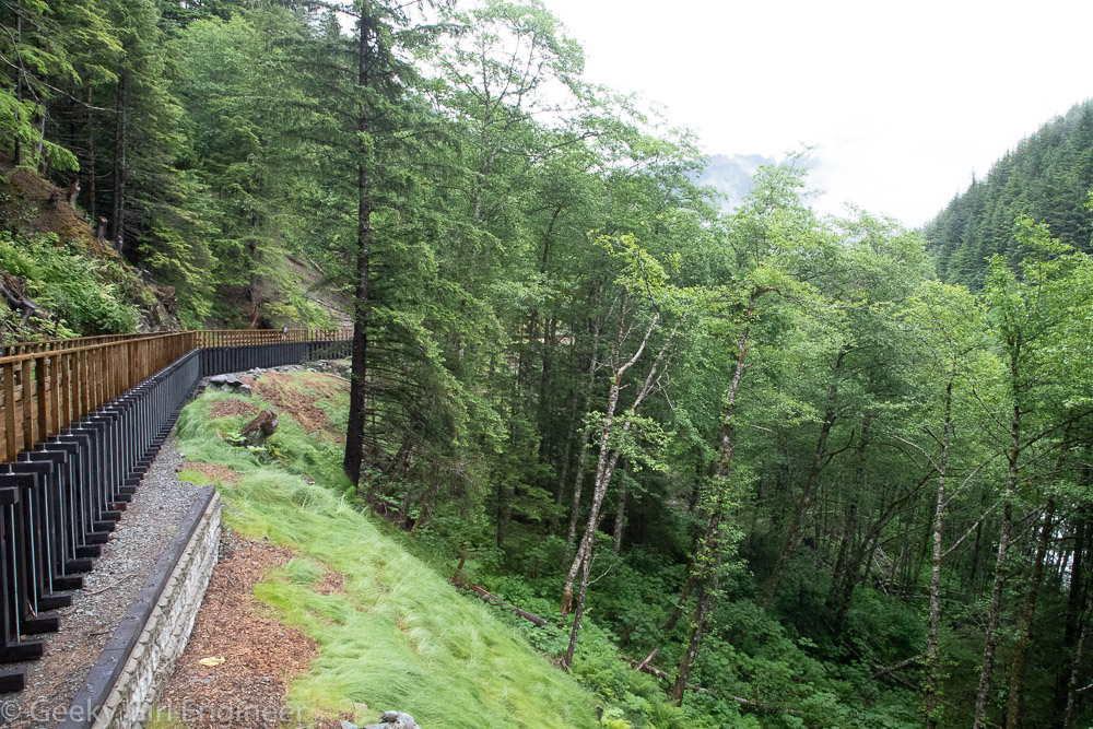
Trail is on top of the flume through the woods

Small waterfalls everywhere

Rock slide area

Waterfalls are visible in the mountains and streams are frequent near trail

Eastern end appears to be where flume is separated from Gold Creek

Gold Creek at western end of trail

Ketchikan hiking

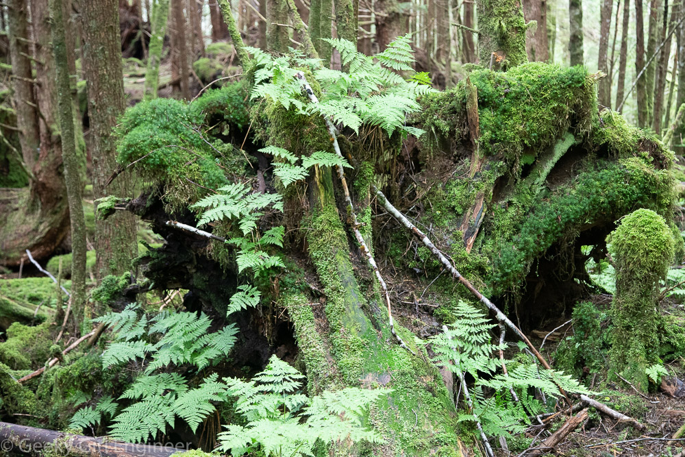
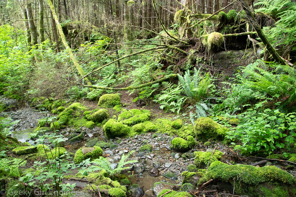
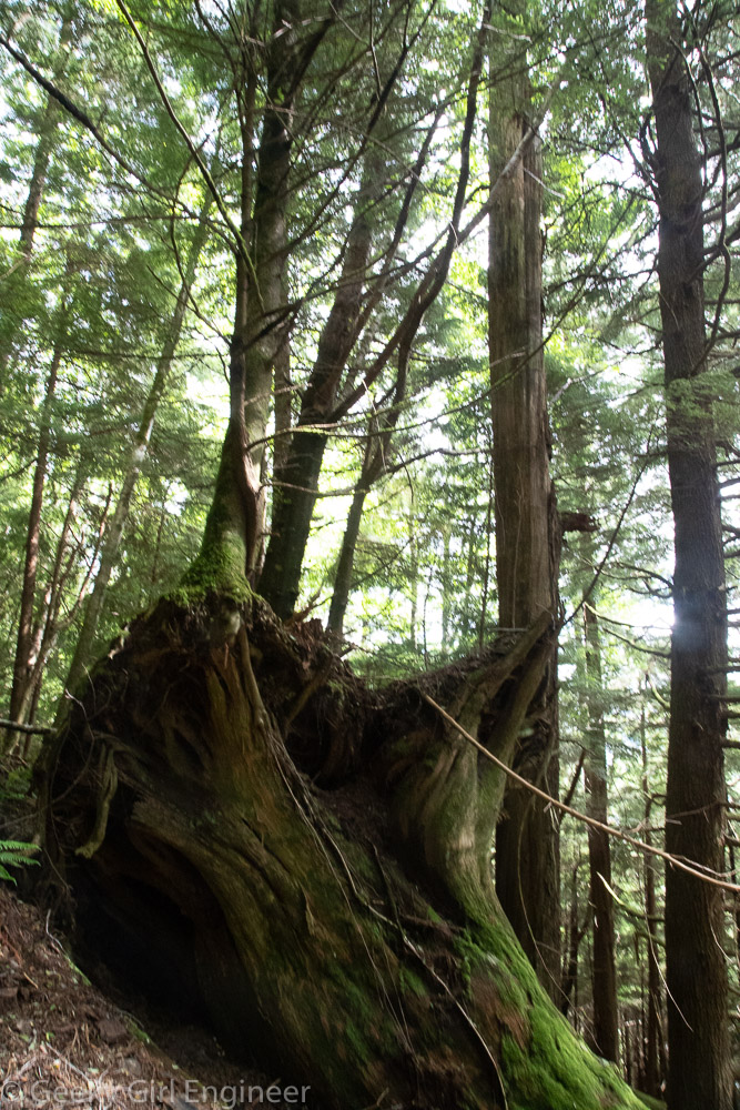
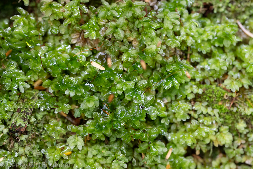
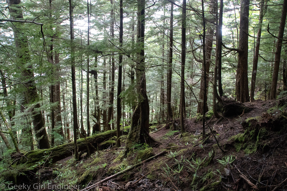
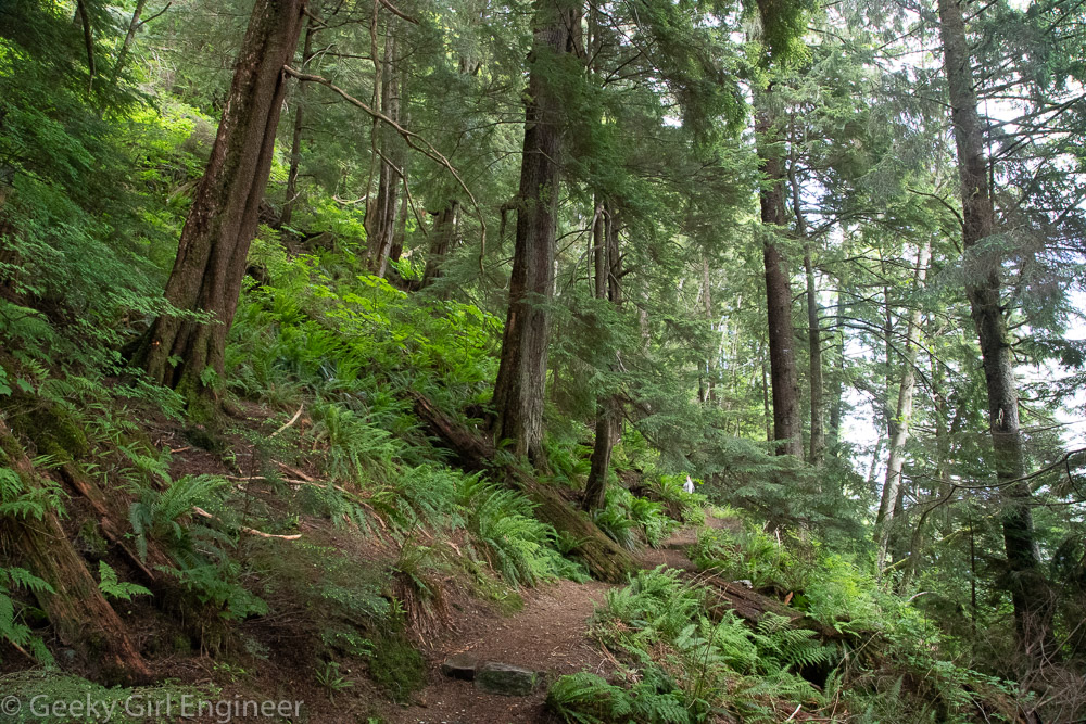
Ketchikan has lots of hiking trails, and many of them are close to the town. We went hiking on the Rainbird trail this afternoon. Ketchikan is located in a temperate rainforest, and the Rainbird trail goes through that temperate rainforest ecosystem right to the side of the town. The trail is located in an area that was last logged over 50 years ago, so it does not have the old growth trees, but it is pretty none the less. The northern trailhead warns that the trail is not maintained, and they are not kidding. We lost the trail a couple of times. The southern half of the trail is maintained and is much easier to hike.

Ferns and moss growing on a fallen tree stump

Moss and ferns growing near a stream

New tree growng on top of a fallen tree

Cedar trees and ferns everywhere

Trail through the forest

At the south end of the trail, there are spectacular lookouts

Moss growing on a fallen tree

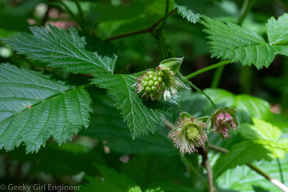
Berries

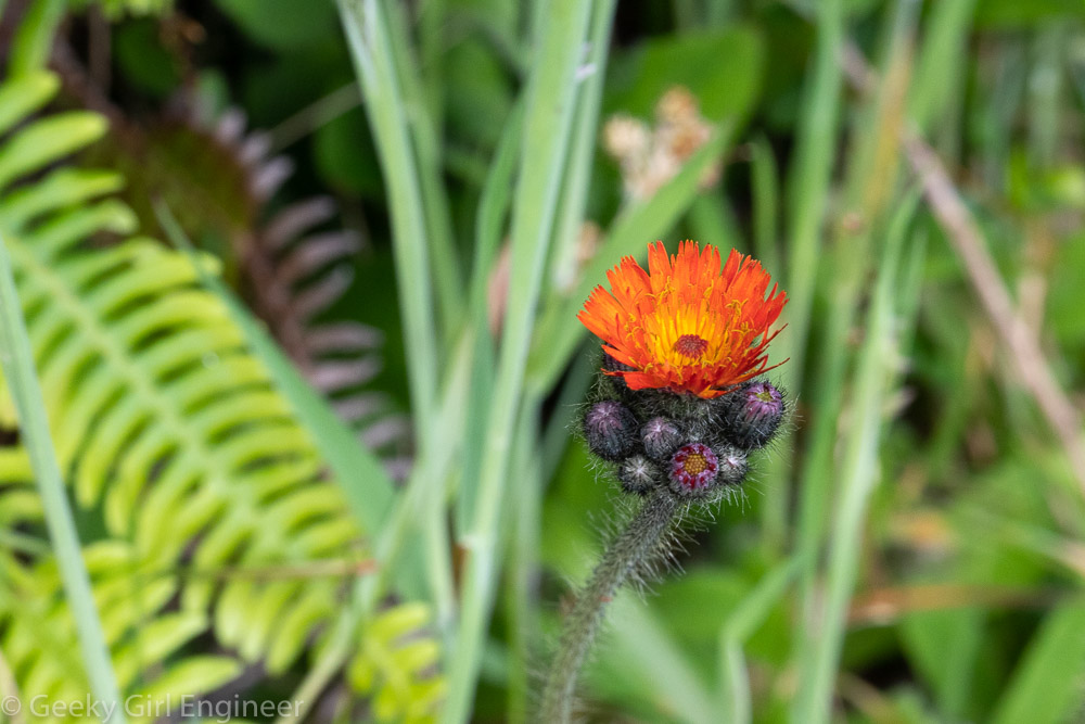
Wild flowers

Ketchikan, Alaska

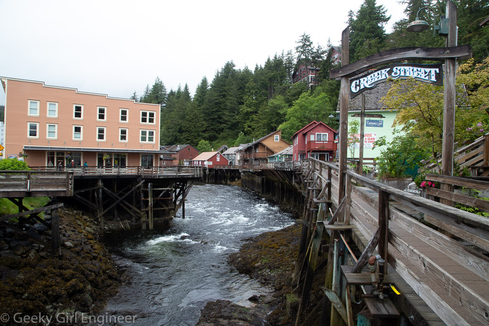
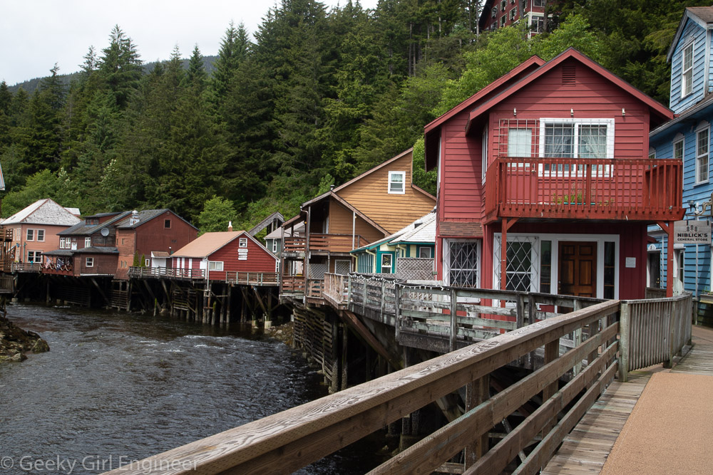
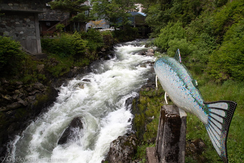
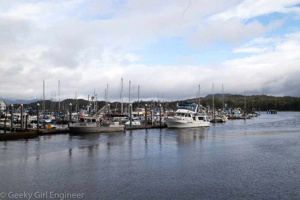
Ketchikan is a great town to wander around. A must see is of course Creek Street, which is built right on Ketchikan Creek, for what I am sure were sensible reasons when the town was first founded. Now while it is very photogenic, it also looks like an engineering challenge. Creek Street is right where Ketchikan Creek empties into the sea, so the tidal influence is visible. Right before Ketchikan Creek enters the Creek Street area, the creek is white water going over rocks, but then just a little further back, it is a calmer, mountain creek. Hence it is an interesting walk to follow the creek a bit. The rest of downtown is filled with what for the most part seem to be original buildings from when the town was expanding or buildings built to resemble old buildings. The dock area is huge, and there appear to be more boats than cars in the downtown area.

Creek Street, built along Ketchikan Creek; the mint green building on the far right is Dolly’s House, “where both men and salmon came upstream to spawn”

Creek Street

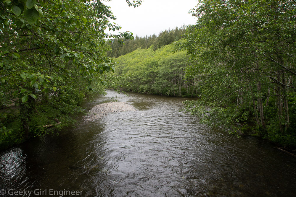
Ketchikan Creek right before it gets to Creek Street

Ketchikan Creek is more an alluvial stream just a short distance before Creek Street

Downtown sign: Welcome to Alaska’s 1st City, Ketchikan, The Salmon Capital of the World

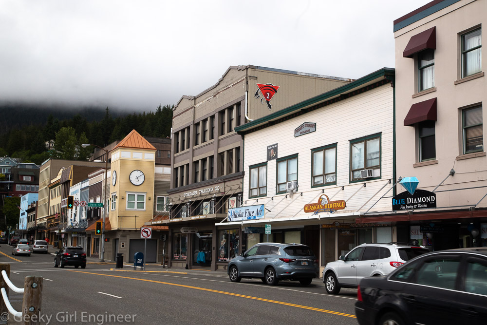
Downtown Ketchikan where most of the buildings seem to be original

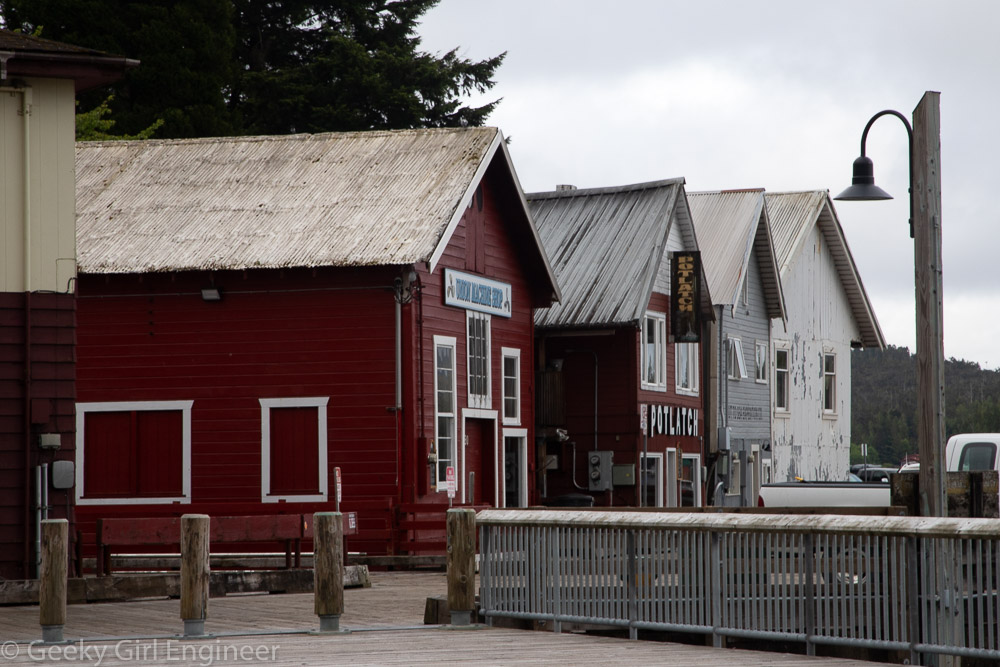
Ketchikan wharf, in the middle is the Potlatch, a famous and popular with the locals bar

Ketchikan’s very crowded docks

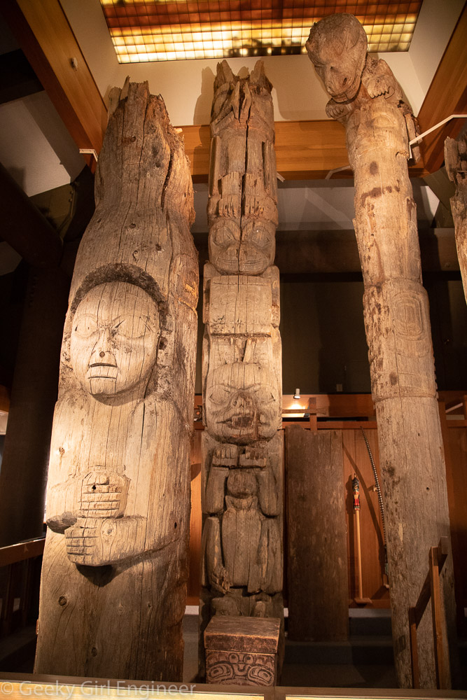
Totems at the Totem Heritage Center

Harrisburg

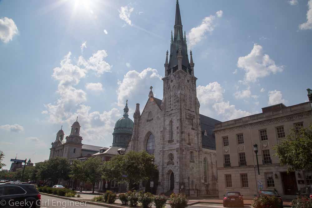
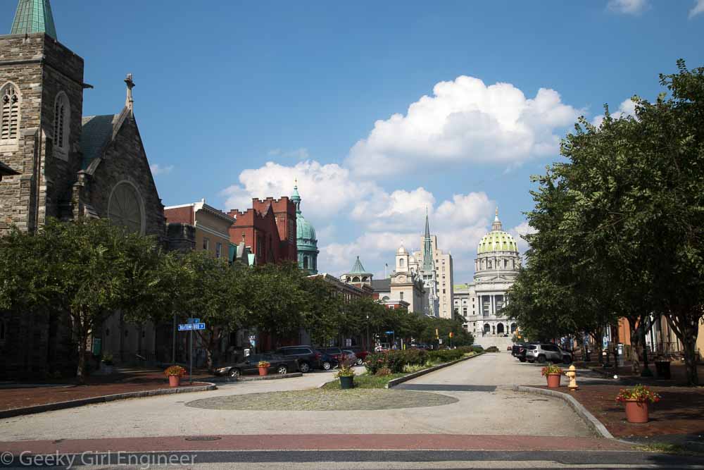
I came to Harrisburg to see the Pennsylvania State Capitol, but while I am here, I spent some time exploring. Harrisburg is one of those old cities where downtown is a mix of historic and modern buildings. Some of the historic buildings have been preserved; some need some preservation. It is a mostly walkable city though. There is a nice riverwalk, at least part of it is close to the water level next to the levee, and another parallel part of it is on top the levee.
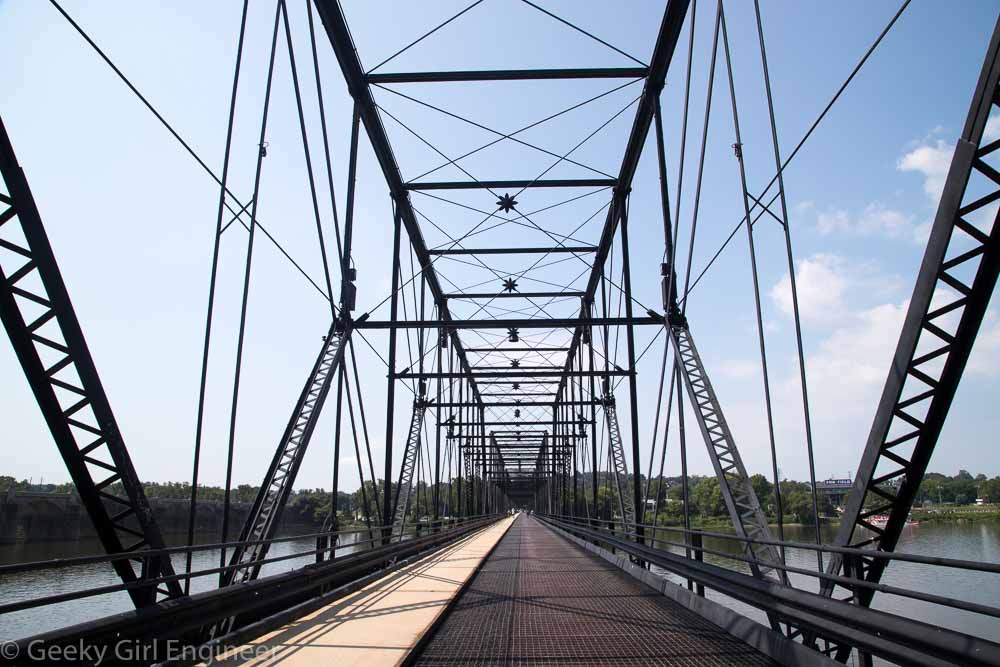
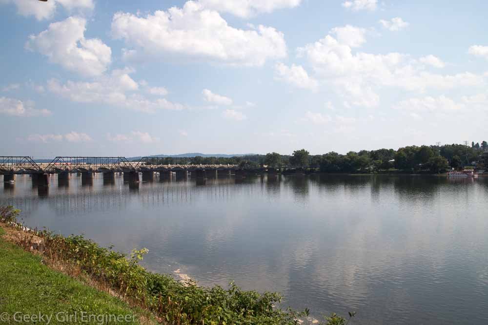
One place that I really enjoyed walking to is City Island, which can be accessed on foot by the Walnut Street Bridge, a pedestrian and bicycle only bridge, that connects downtown to the island in the Susquehanna River. From City Island, I took a ride on the Pride of the Susquehanna riverboat that takes a short cruise up the river. By the time the river gets to Harrisburg, it is about a mile wide, but it averages only about 3.5 feet deep. On the cruise, I saw some people standing in the middle of the river, which only went to their waist, next to their pontoon boat.

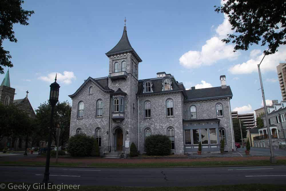
Mansion across from the river
Walnut Street bridge
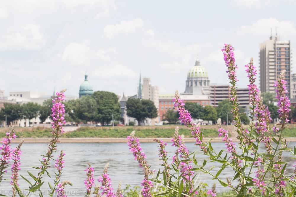
View of the state capitol and downtown from City Island
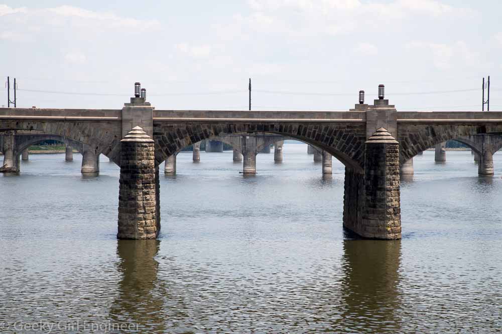
Market Street Bridge with more southern bridges in the background
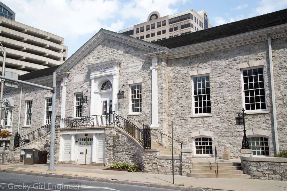
McCormick Riverfront Library, Founded in 1889 as The Harrisburg Public Library, now part of the Dauphin County Library System
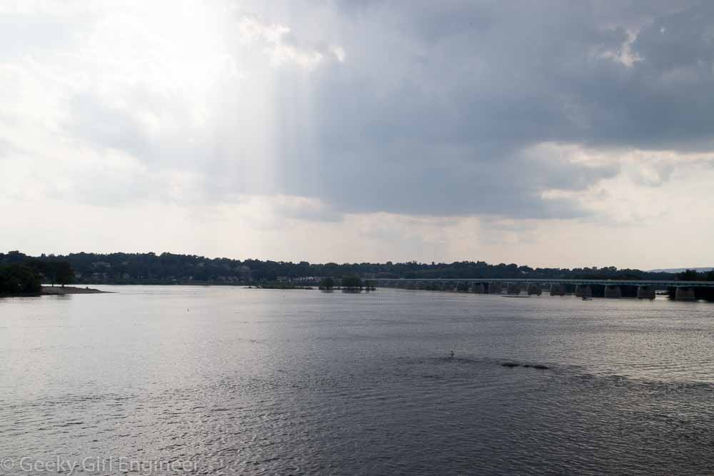
Storm approaching the Susquehanna River from the west
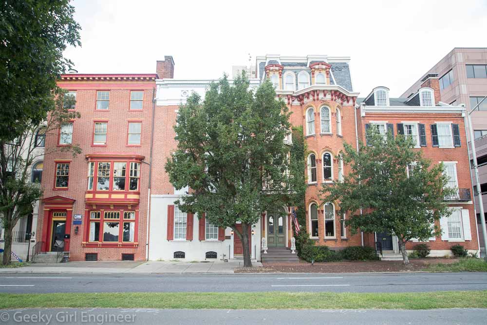
Riverfront buildings/houses
Churches line State Street, a block from the Capitol
View from Front Street up State Street
Susquehanna River with numerous bridges to the left, the first one is the Walnut Street Bridge

Sacramento

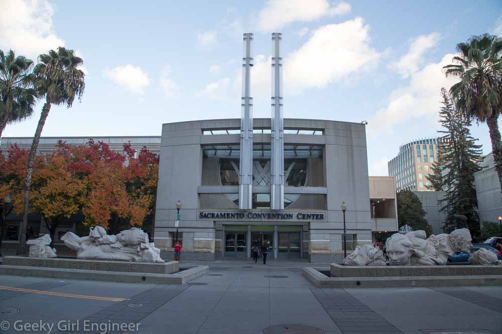
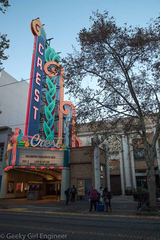
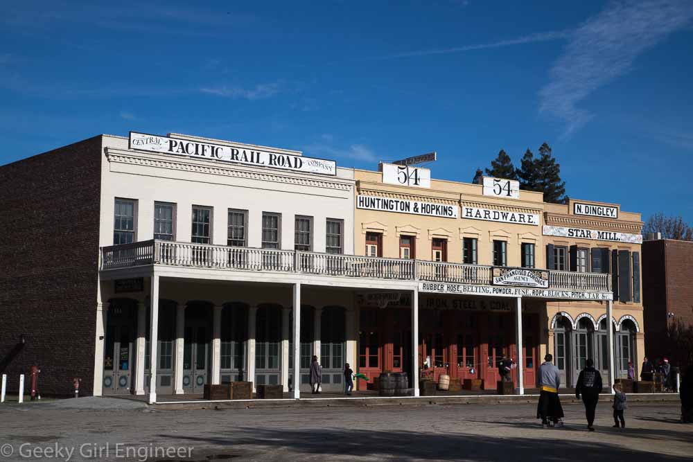
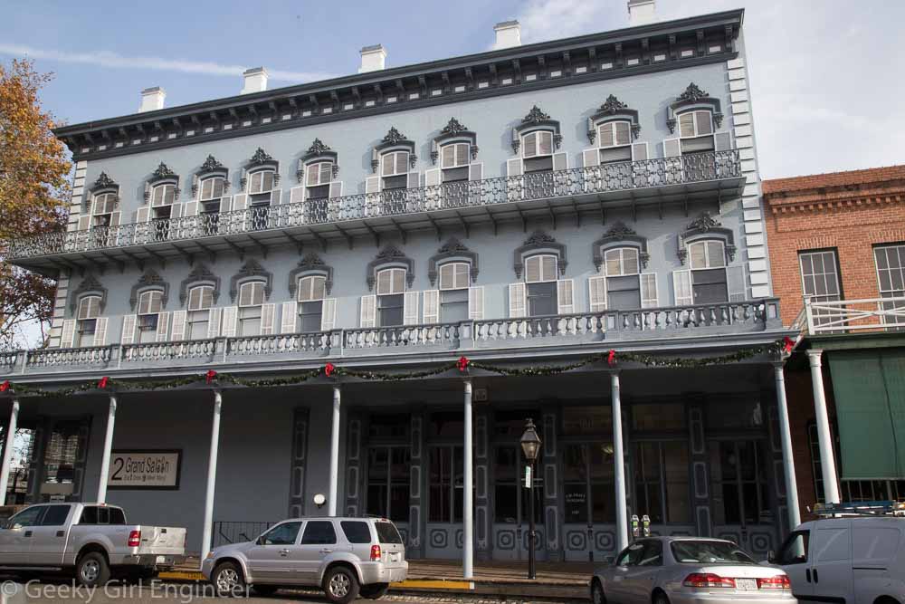
I spent part of my time in Sacramento just wandering around, which is what I like to do when I travel to a new city. Below are a few more photos from my time there wandering around.

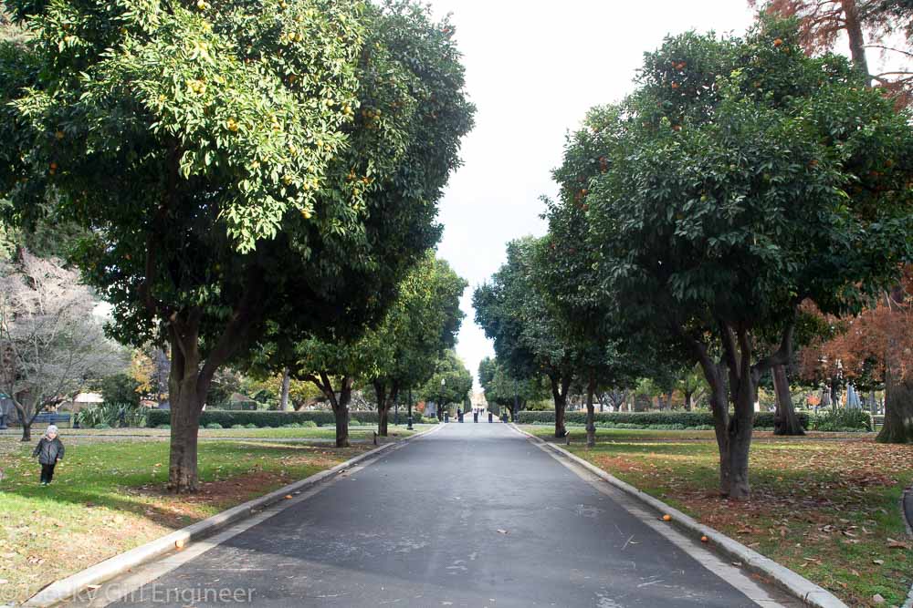
State Capitol Park

Sacramento Convention Center

Crest Theatre

Wall mural

Tower Bridge

Old Sacramento

Old Sacramento

Pittsburgh

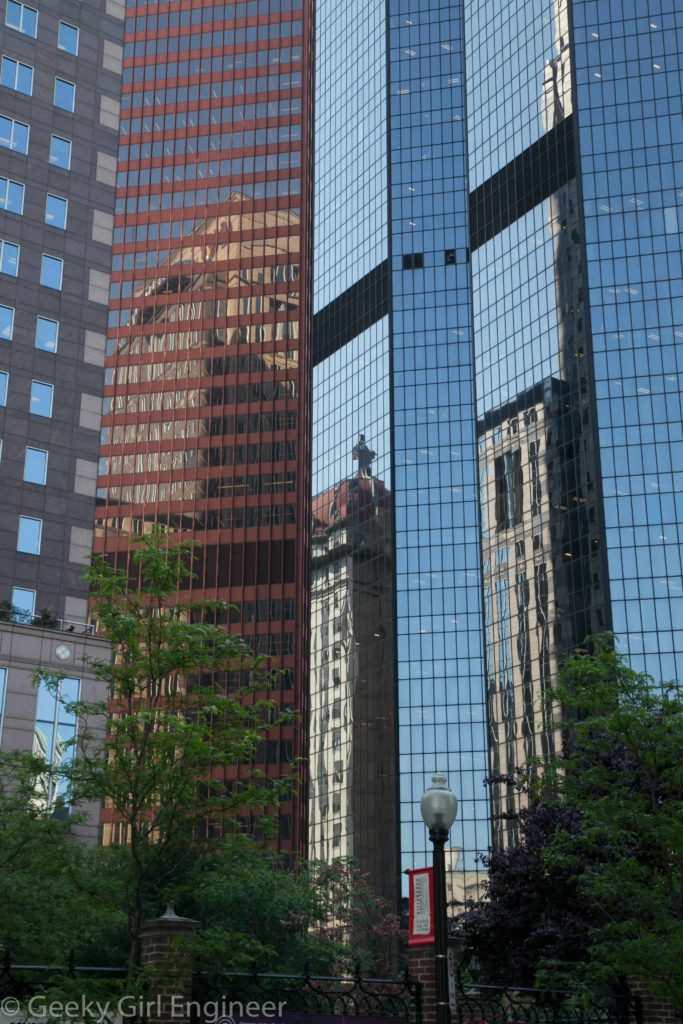
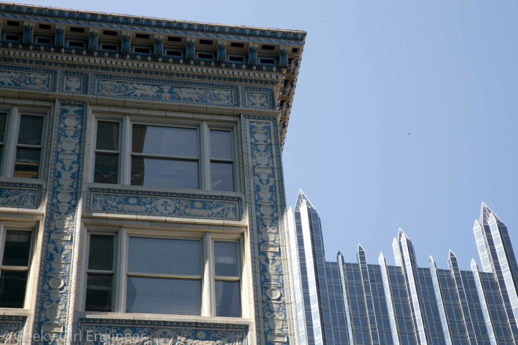
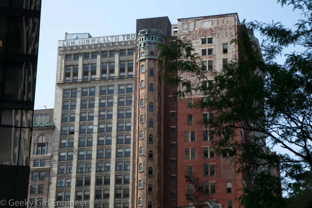
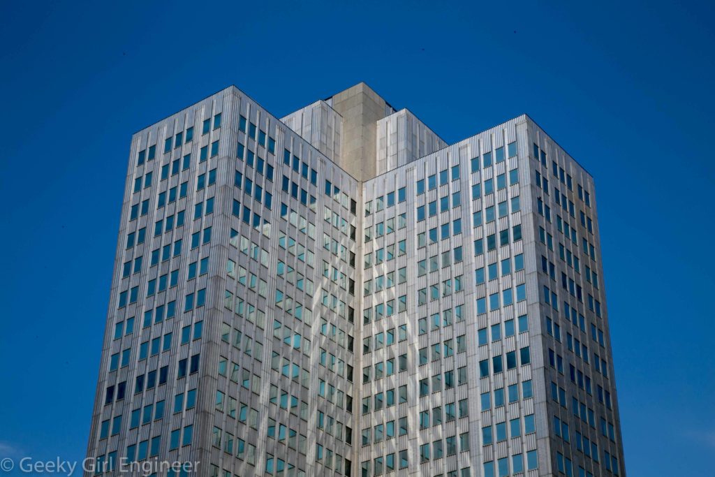
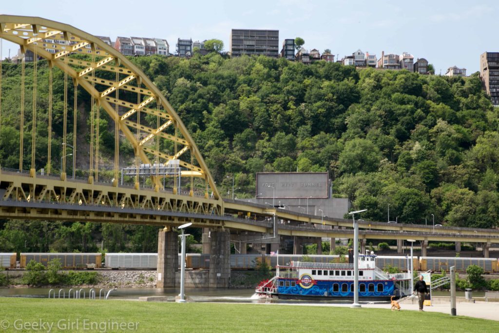
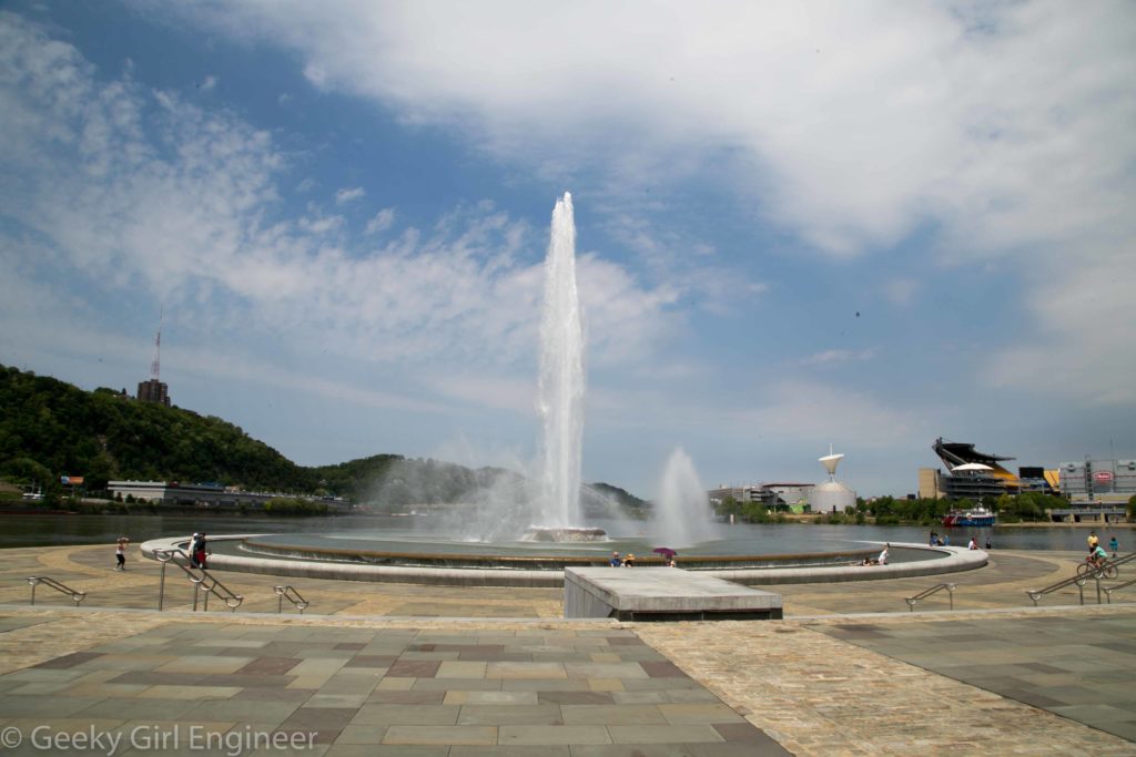
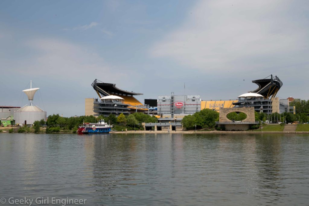
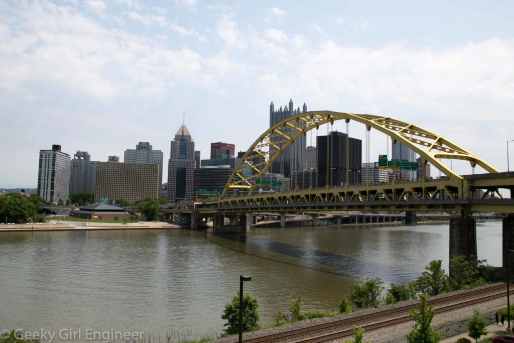
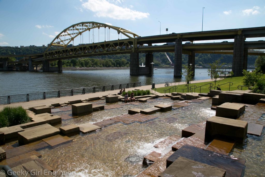
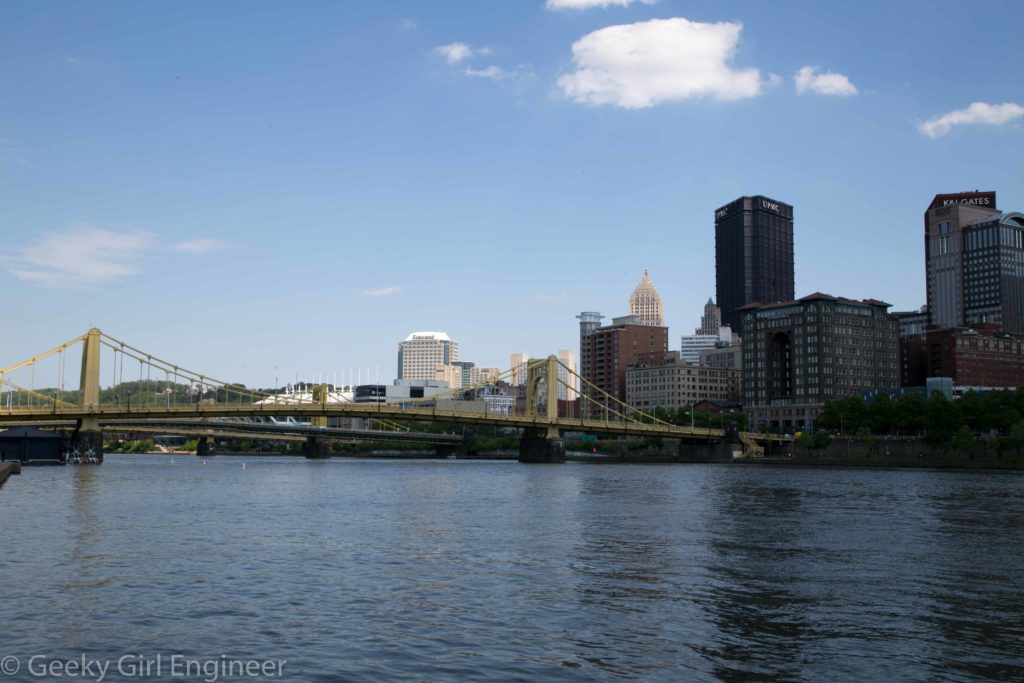
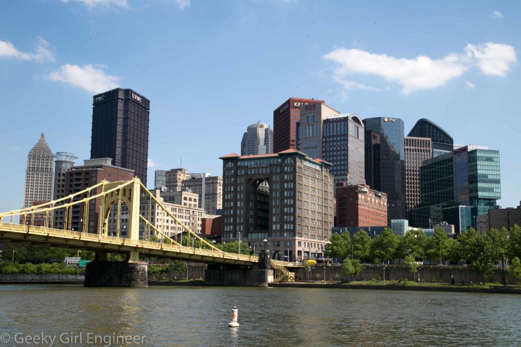
I wanted to get away for a short vacation, so I went to Pittsburgh for a day. Why Pittsburgh? Well, why not? Also, getting to and from Pittsburgh involved two very pretty, long train rides, which was half the reason for the trip. Anyway, Pittsburgh is an amazingly walkable city, especially downtown. You can walk across all (I think) the bridges, and there are pedestrian and bike paths everywhere. Downtown has a lovely mix of old and new buildings. Basically I could wander around for a day taking photos, which was exactly what I wanted and what I did.

Building reflections downtown

Building reflections downtown

Old tiled building juxtaposed with PPG glass building

Old tiled building juxtaposed with PPG glass building

Rather unique old building tower

Rather unique old building tower

Art deco (?) building

Art deco (?) building

Fort Pitt Bridge over Monongahela River

Fort Pitt Bridge over Monongahela River

Point State Park

Point State Park

Heinz Field

Heinz Field

Fort Pitt Bridge over Monongahela River with downtown in background

Fort Pitt Bridge over Monongahela River with downtown in background

North Shore Riverwalk with Fort Duquesne Bridge in background

North Shore Riverwalk with Fort Duquesne Bridge in background

Downtown viewed from across the Allegheny River

Downtown viewed from across the Allegheny River

Robert Clemente Bridge and downtown

Robert Clemente Bridge and downtown

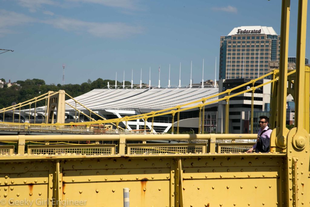
The white in the background is the convention center roof, which I assume was designed to have the same catenary curve as the suspension bridges seen in foreground

The white in the background is the convention center roof, which I assume was designed to have the same catenary curve as the suspension bridges seen in foreground


Boston’s Freedom Trail

While in Boston, I walked the entire 2.5-mile Freedom Trail. It is a nice walk except for avoiding all the street construction. I have to admit also, as a tourist, it is nice not to really have to check a map, but rather just follow a red brick path in the sidewalks. I previously posted photos of the Massachusetts State House and the Bunker Hill Monument. Here are a few more photos from sites and just views along the Freedom Trail.
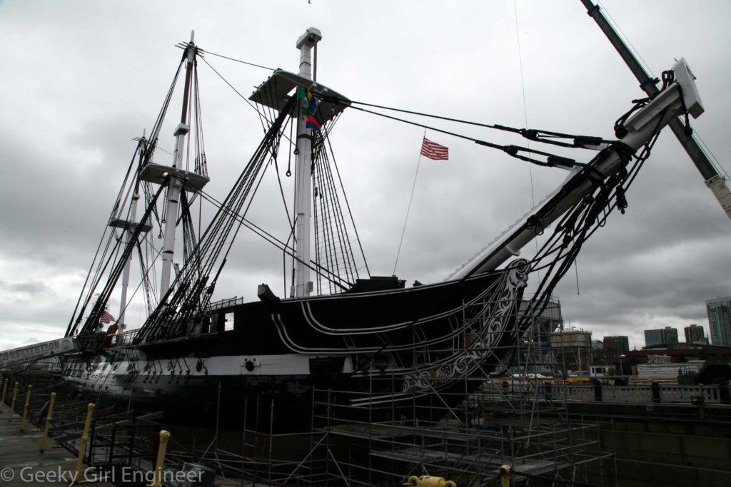
USS Constitution ("Old Ironsides")

USS Constitution (“Old Ironsides”)

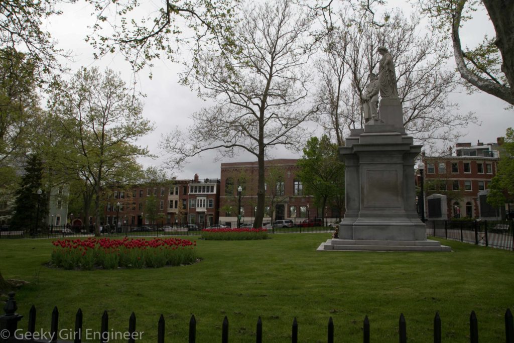
Winthrop Square

Winthrop Square

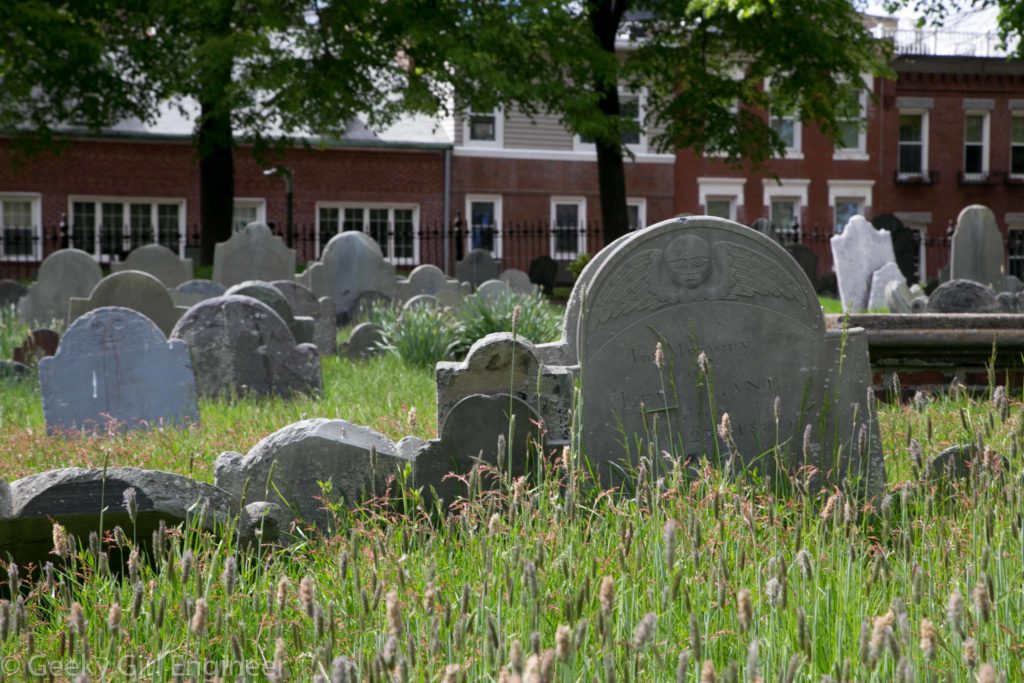
Copp’s Hill Burying Ground

Copp’s Hill Burying Ground

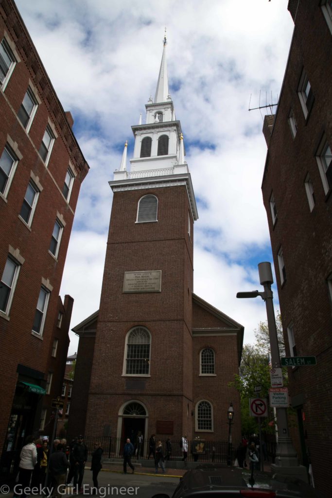
Old North Church

Old North Church

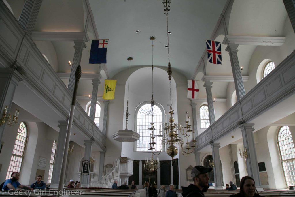
Inside of Old North Church

Inside of Old North Church

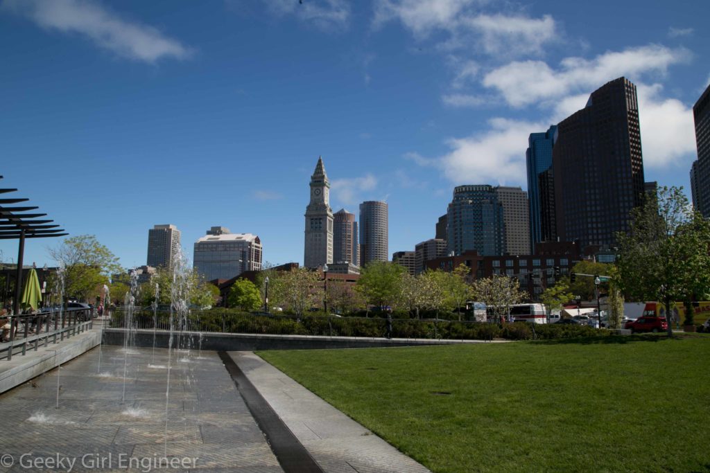
Rose Fitzgerald Kennedy Greenway above I-93

Rose Fitzgerald Kennedy Greenway above I-93

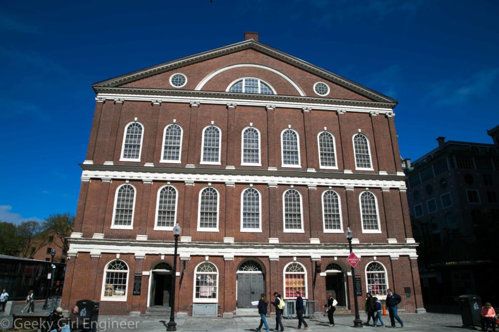
Faneuil Hall

Faneuil Hall

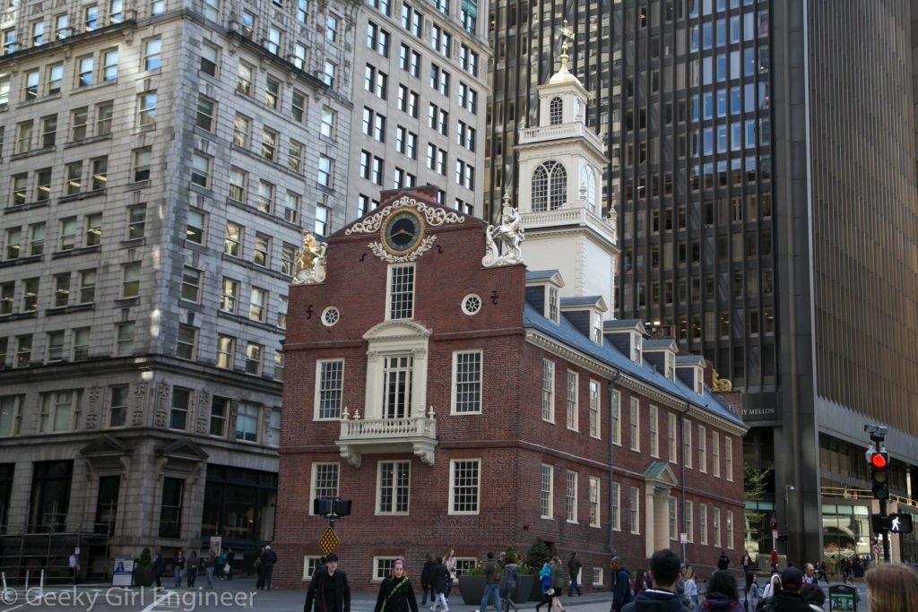
Old State House

Old State House

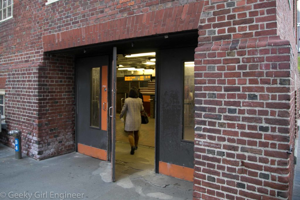
A brief explanation of why I am posting the below photo. There is a T (subway) train station right below the Old State House, with an entrance through the building. As an engineer, I find this amazing. Consider how old the building is and the studies of the building that must have occurred to determine it could handle both the space being dug out of its foundation and also the ability to take vibrations from the subway and people going in and out of it.

T Station below Old State House

T Station below Old State House

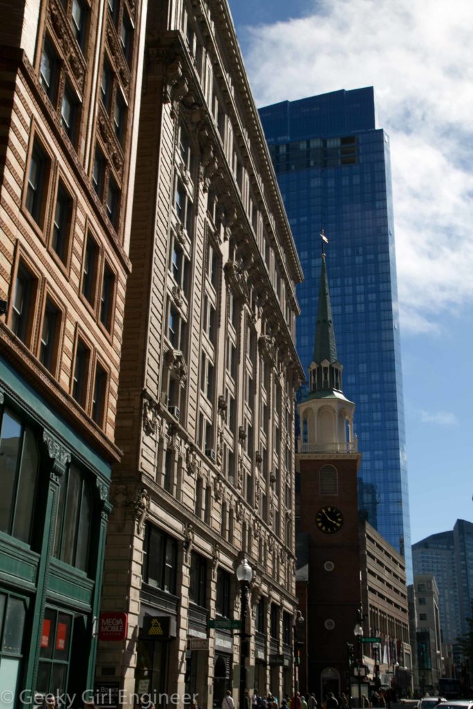
Old South Meeting House wedged between old and new office buildings

Old South Meeting House wedged between old and new office buildings

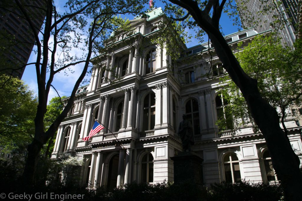
Old City Hall

Old City Hall

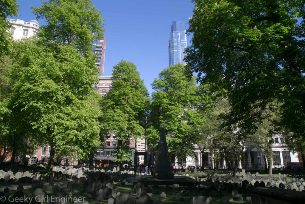
Granary Burying Ground, where Paul Revere, Samuel Adams, Mother Goose, and others are buried

Granary Burying Ground, where Paul Revere, Samuel Adams, Mother Goose, and others are buried