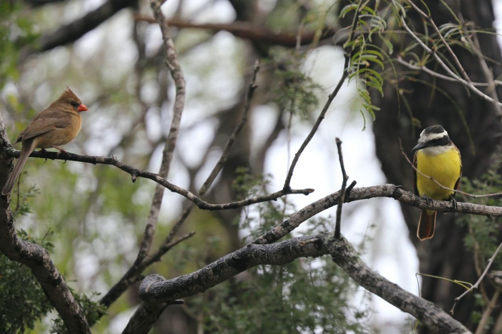
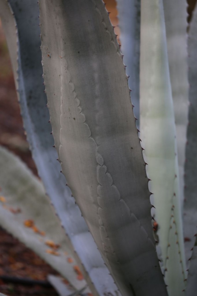
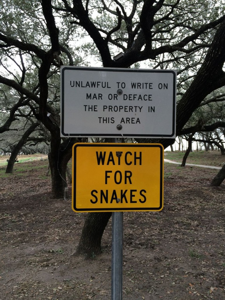
I spent the day birding in south Texas. The area around the Rio Grande has some amazing birds to see, birds that you won’t see anywhere else in the United States. Below are a few highlights of what I saw, including some pretty plants.
Tag Archives: Travel
Guard Snakes
NY IKEA Ferry
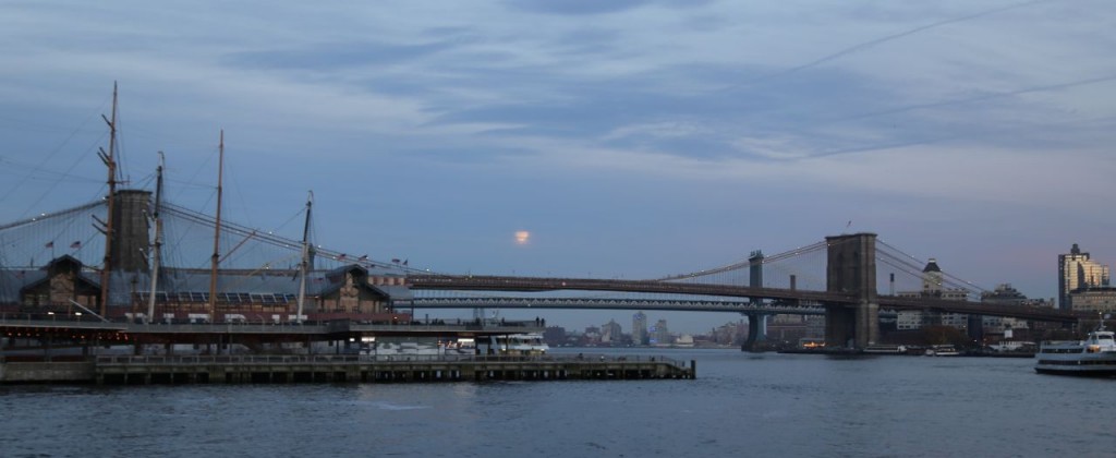
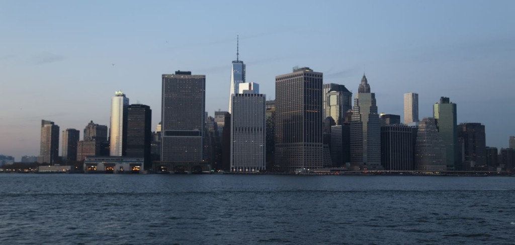
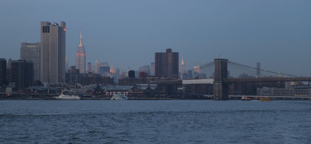
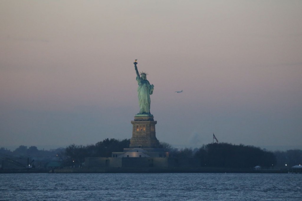
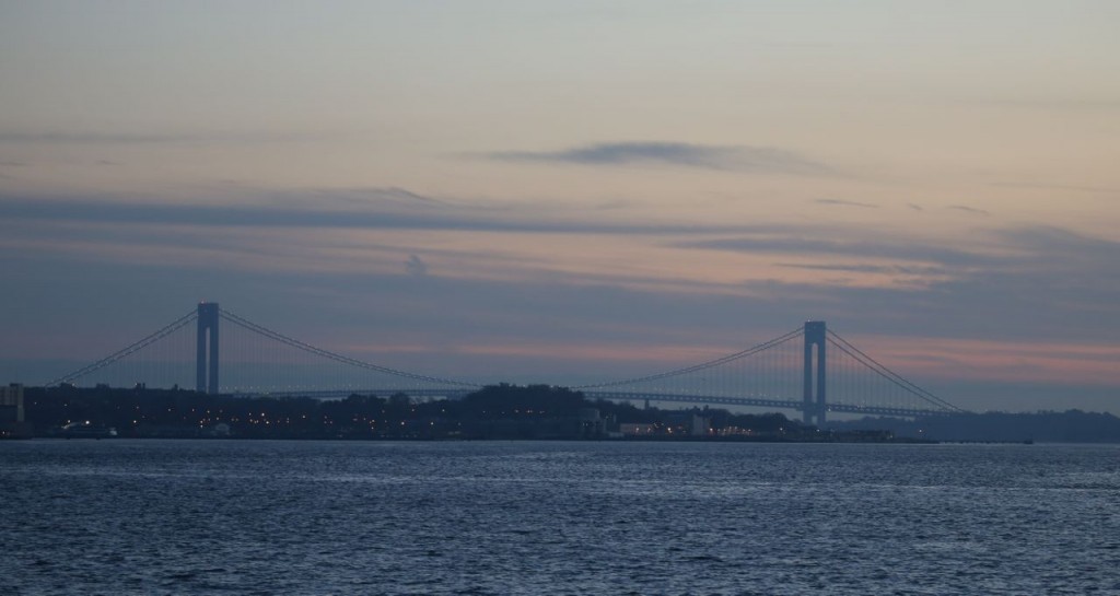
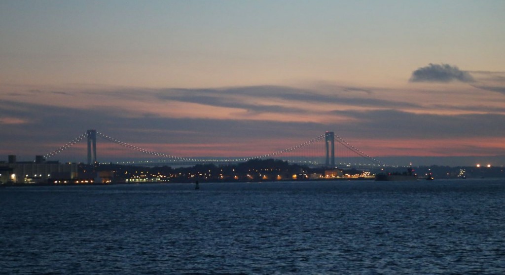
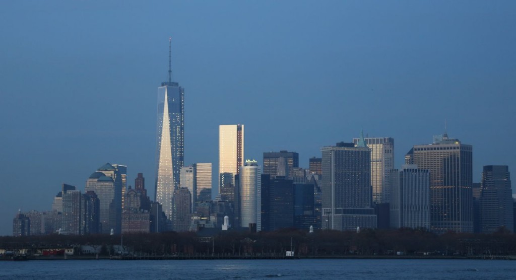
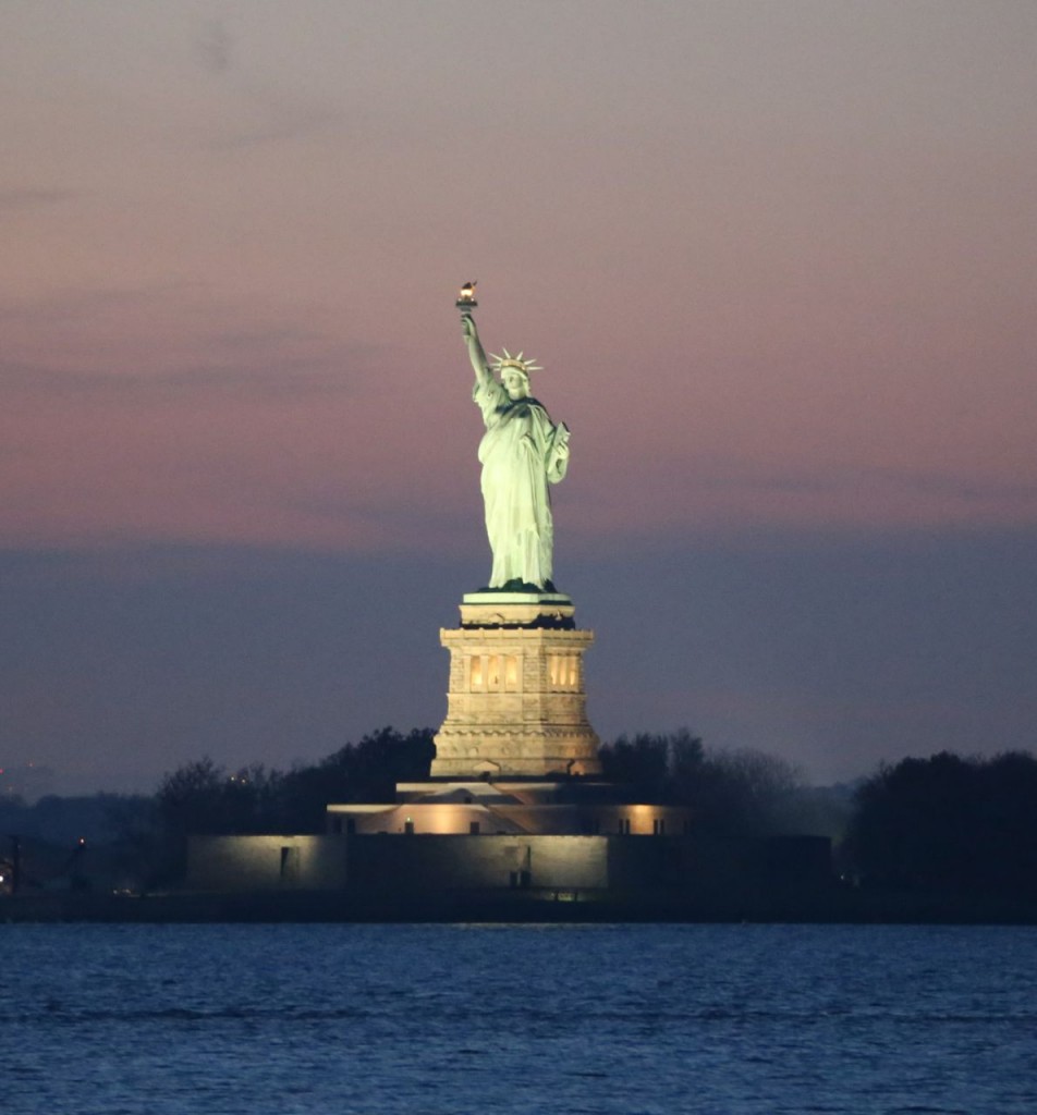
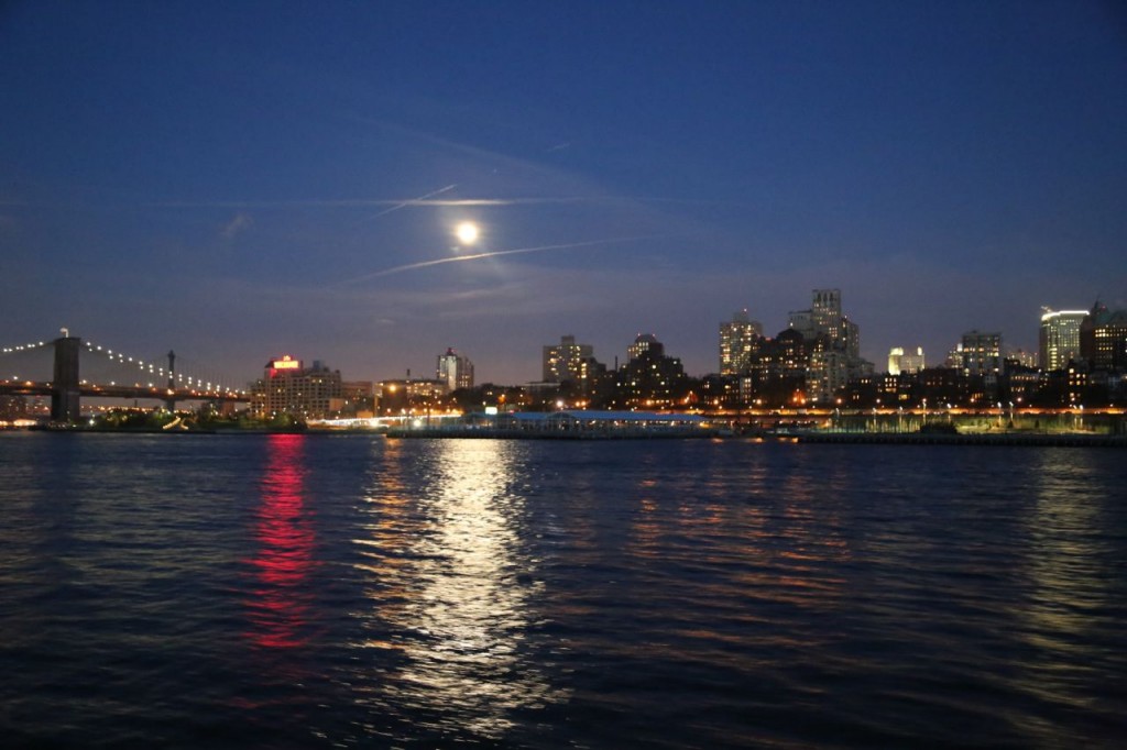
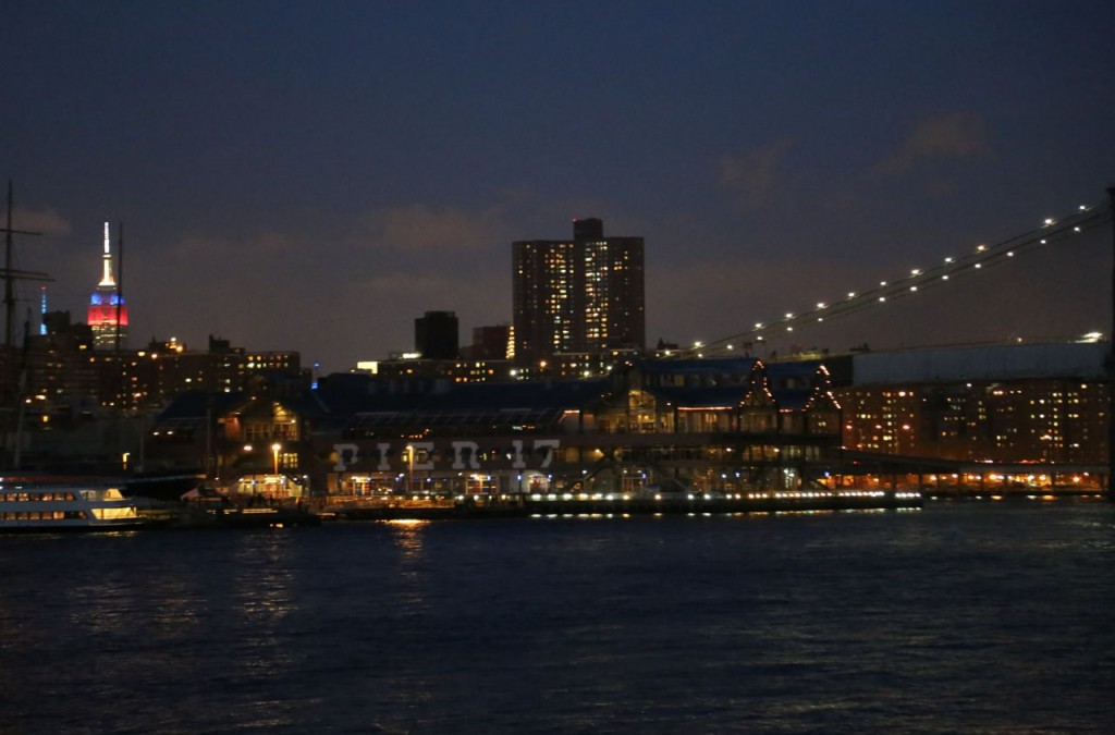
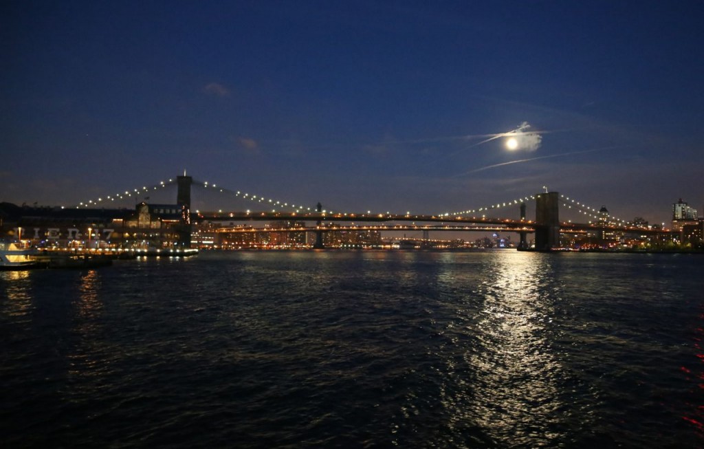
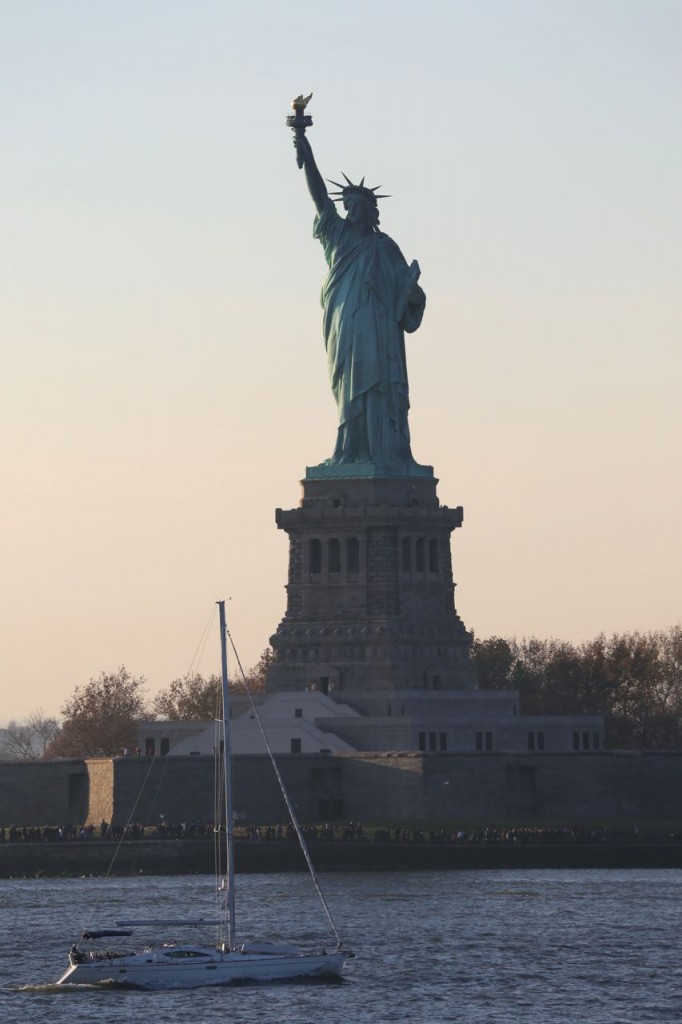
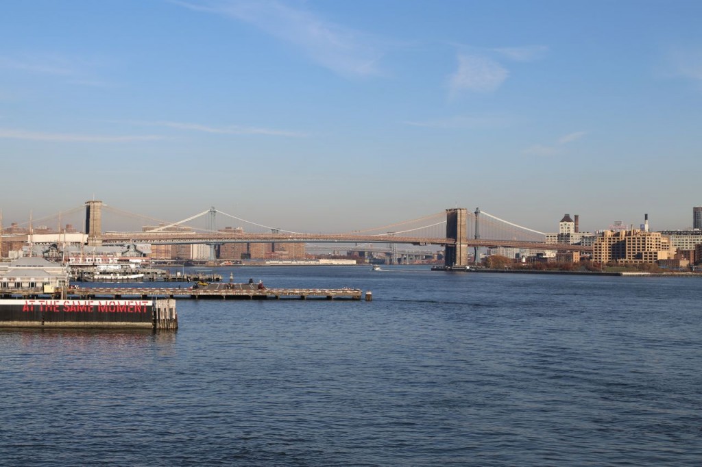
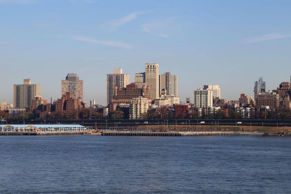
On my recent trip to New York, I learned that IKEA has a ferry from downtown Manhattan to its store in Red Hook, Brooklyn. On weekdays there is a small fee to take it because evidently some commuters used to use it when it was free everyday. On weekends though, it is still free. IKEA must know that some people take without ever going into the store, but I guess few enough people do it, that they don’t mind. On neither legs of the round trip I took, was the ferry full. It has wonderful views of downtown Brooklyn, the East River, Brooklyn, the Statue of Liberty, and the Verrazano-Narrows Bridge. I happened to take it at sunset, and on the return trip, there was a full moon out, and all the buildings and bridges were lit. It was spectacular.
Staten Island Ferry
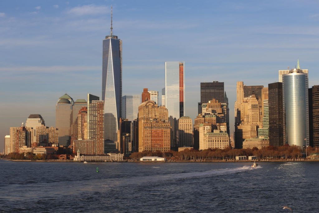
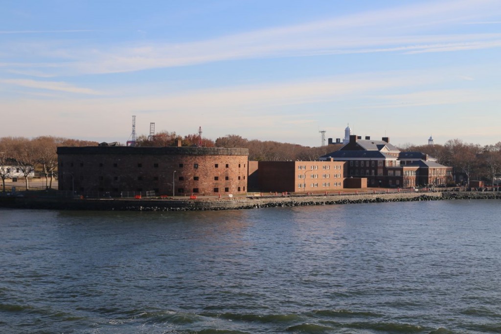
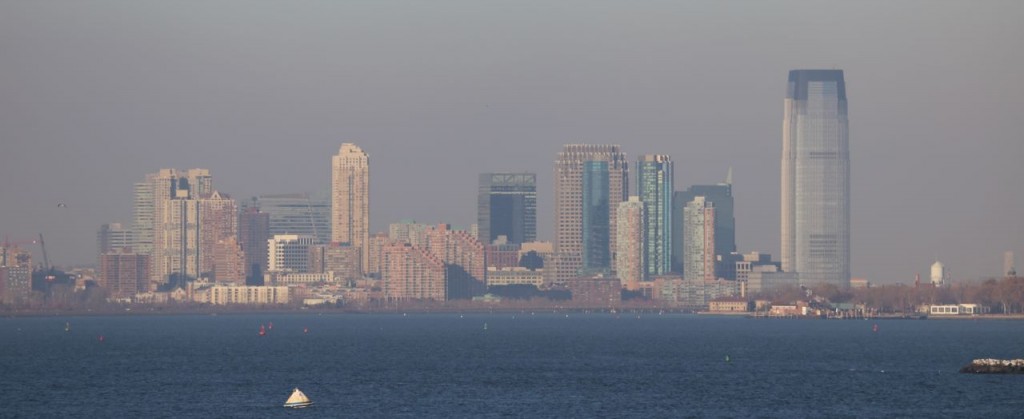
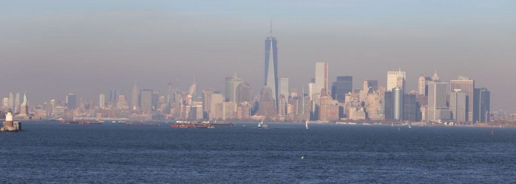
One of the best deals in New York is the Staten Island ferry. It runs from Battery Park in downtown Manhattan to St. George on Staten Island. It has wonderful views of downtown Manhattan, downtown Brooklyn, Jersey City, the Statue of Liberty, and all parts of the Upper Bay. The best part is that it is completely free. If you go, don’t just get off the ferry and get on the next one back to Manhattan. Exit the terminal building and go onto the attached deck. It has spectacular views across the Upper Bay.
Old NY City Hall Subway Station
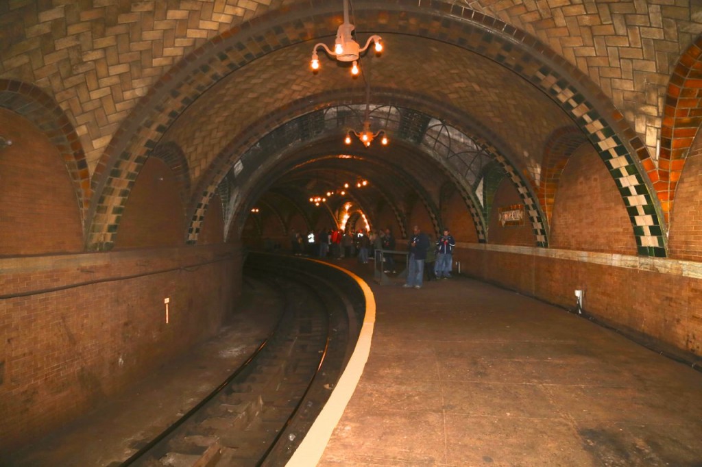
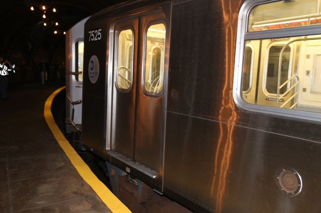
Saturday, I got to tour the abandoned New York City Hall subway station. The New York Transit Museum gives tours of it a few times a year, and this tour is completely worth the membership in the museum. The old City Hall subway station was originally the southern terminal of the original Interborough Rapid Transit (IRT) subway route. The station is located on a single 600-foot long track loop that is located south of the current City Hall/Brooklyn Bridge subway station. The track loop is still used by the #6 subway line. After a #6 train drops off passengers at the City Hall/Brooklyn Bridge station from a southbound route, it then uses the loop to return to that station as a northbound train. For our tour, we met at the southern end of the City Hall/Brooklyn Bridge subway station, and then once all passengers had been offloaded from a southbound #6 train, we got on for the short trip to the old City Hall station.
The old City Hall station has a platform that is 400-feet long and is completely curved. This short and completely curved platform is part of the reason why the station is no longer used. The ten-car trains now used don’t fit in the station, and it is a serious hazard stepping off the train to that platform. [Our MTA guides used a short wooden platform to allow us to easily and safely get off the train onto the platform.] The station was closed in 1945 because passengers preferred the Brooklyn Bridge station due to its longer and straight platform and also because both local and express trains stopped there.
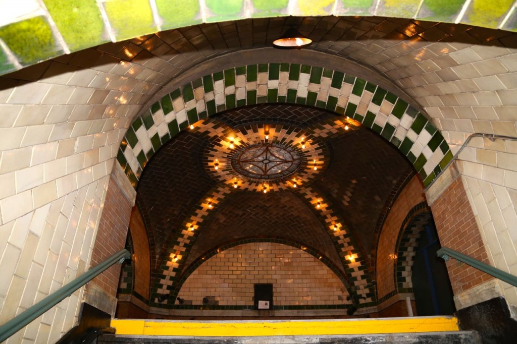
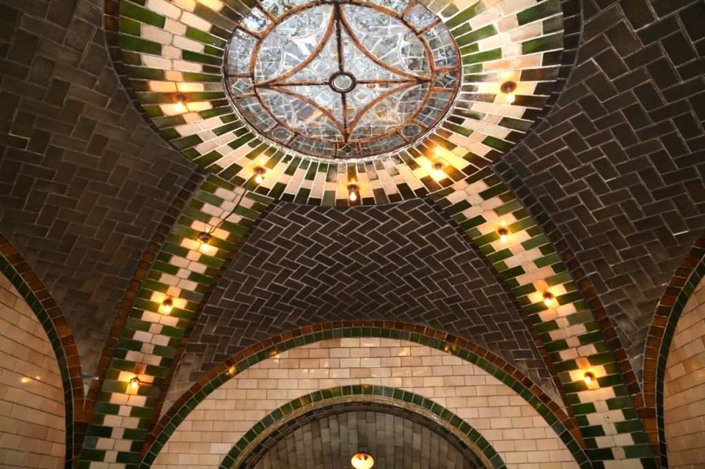
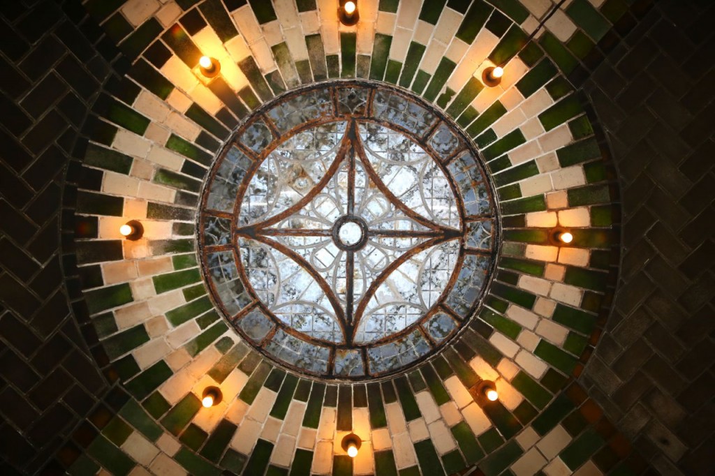
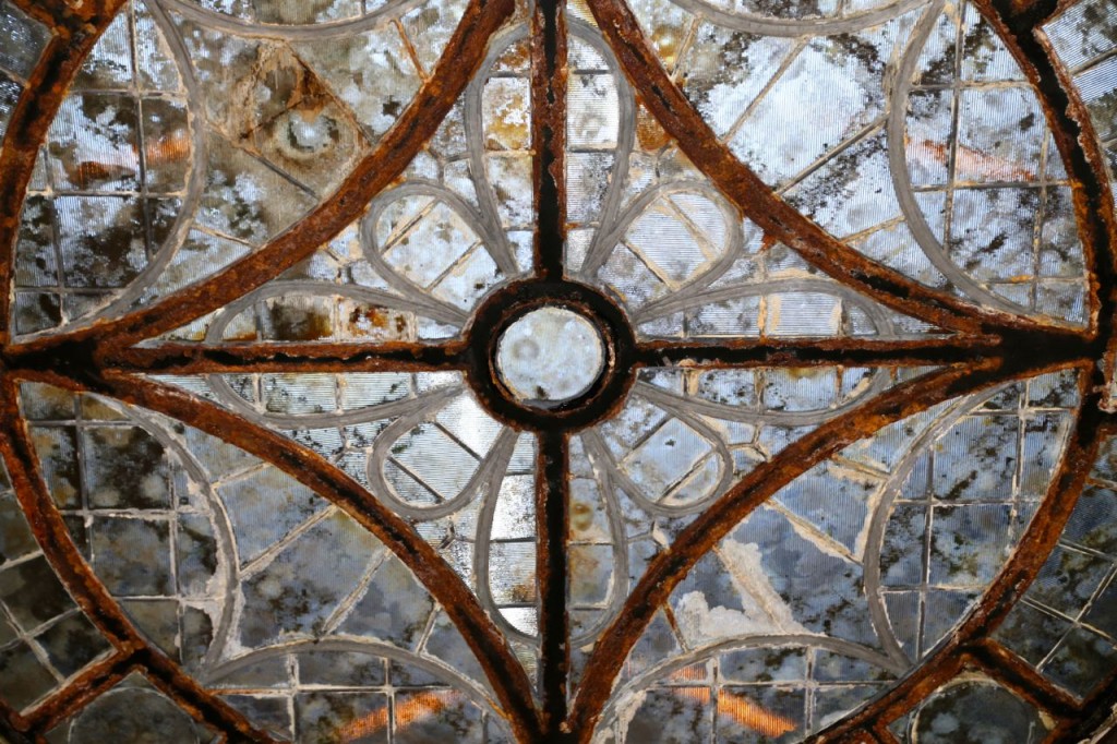
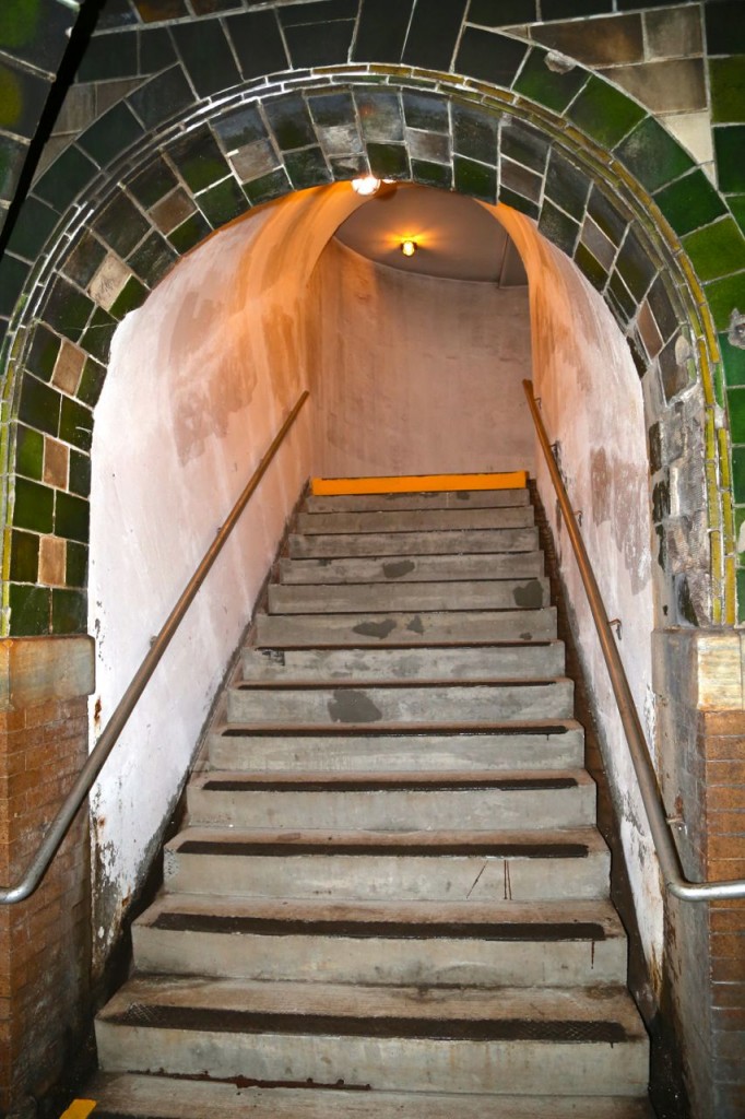
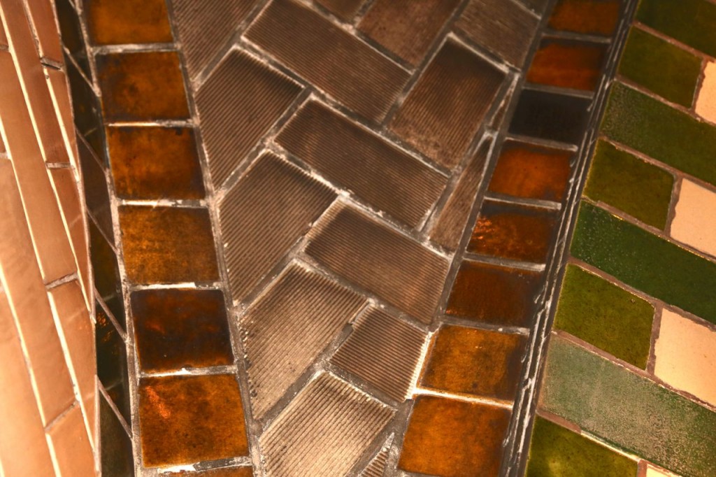
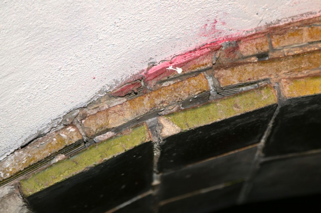
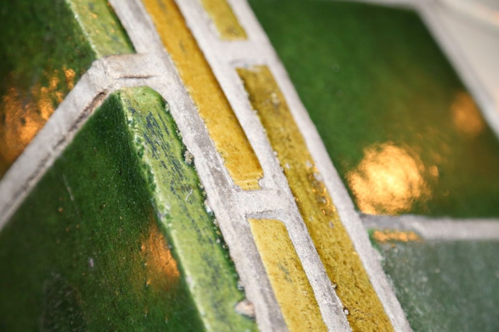
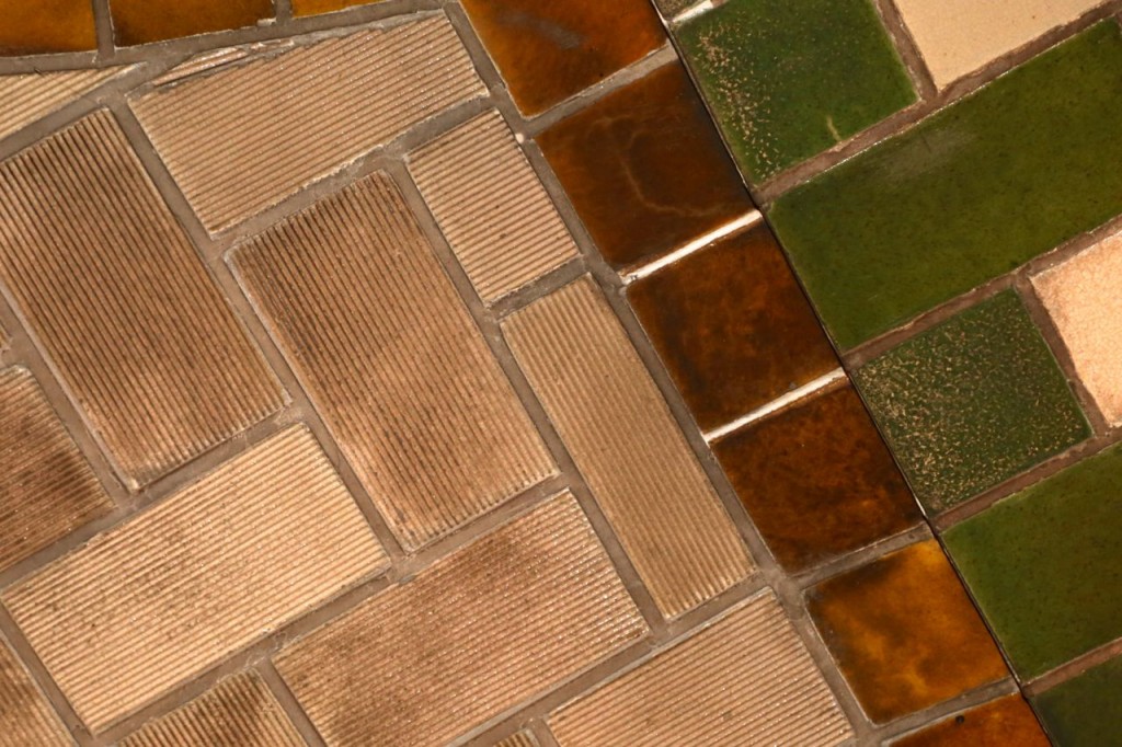
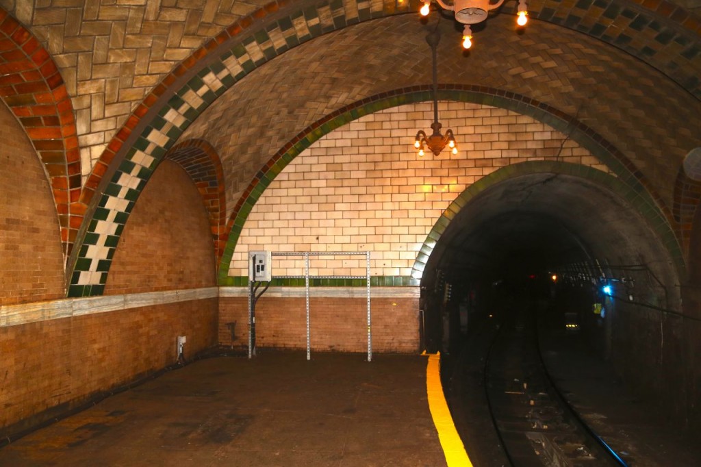
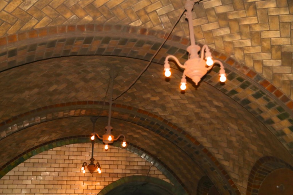
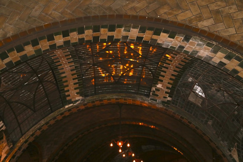
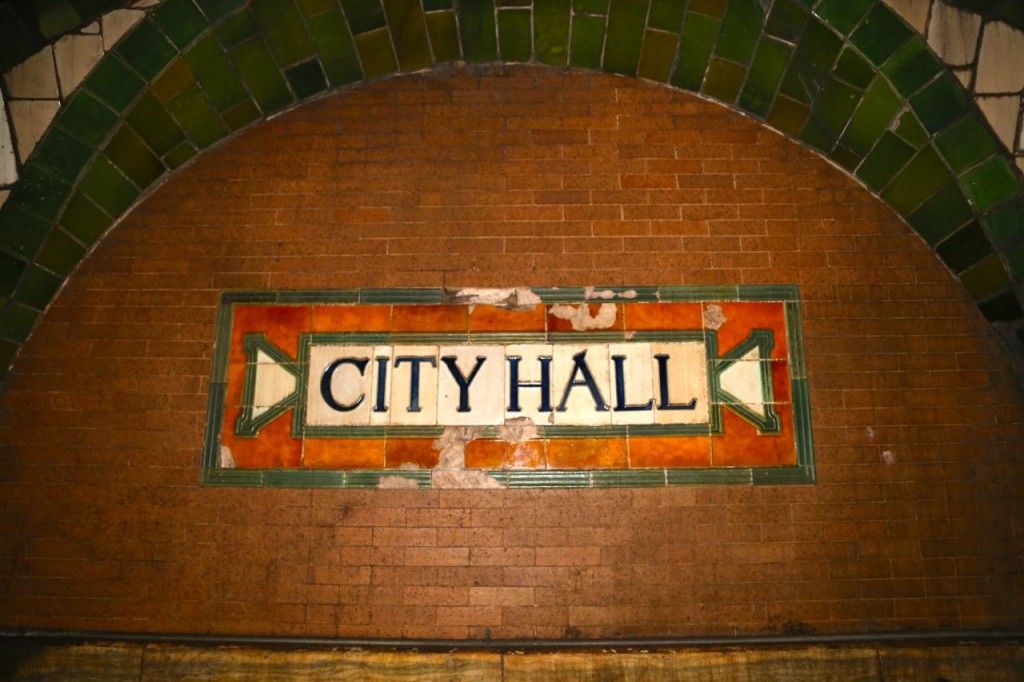
The station is completely gorgeous. There is a mezzanine level where passengers would buy tickets. The mezzanine is square with four arches that form each of the walls, and an arched ceiling joins the four arched walls. At the center of the mezzanine ceiling is a glass skylight. One of the arches of the mezzanine forms a passageway that leads down to the platform. The platform is then made of 15 more arches. Three of the arches have three glass skylights each. Electric chandeliers hang from each of the arches to provide light. All of the arches are created by Guastavino tile arches. The walls and ceilings are covered in green, brown, and cream tile. Interestingly, much of the cream tile is unglazed and rigged. Evidently this tile was never supposed to be exposed, it was rigged and unglazed because it was supposed to be covered with cement, and the ridges would provide more surface are for the cement to stick, in the same way as when tiling, the ridged side of a trowel is used to create ridges in the cement before placing the tile. However once the tile was placed, the station architects liked how the exposed ridged tile looked.
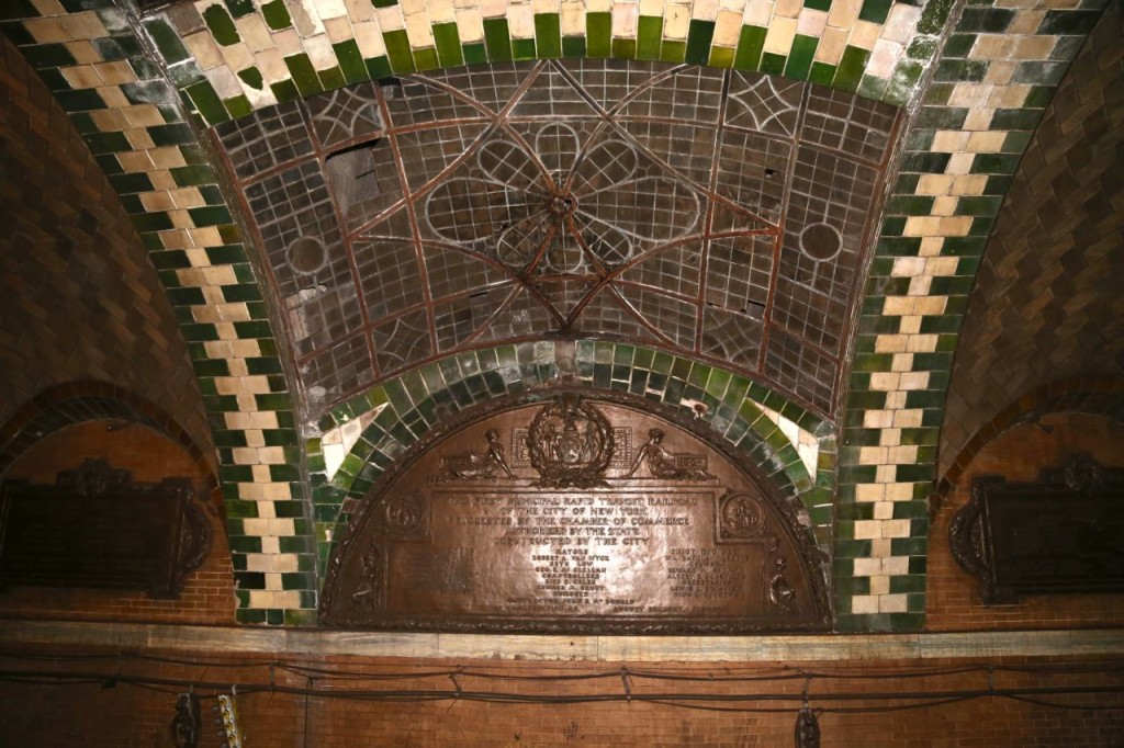
The middle arch on the platform where the passageway from the mezzanine ends. The arch has three skylights. Opposite the passageway are three plaques commemorating those who helped in the station’s creation.
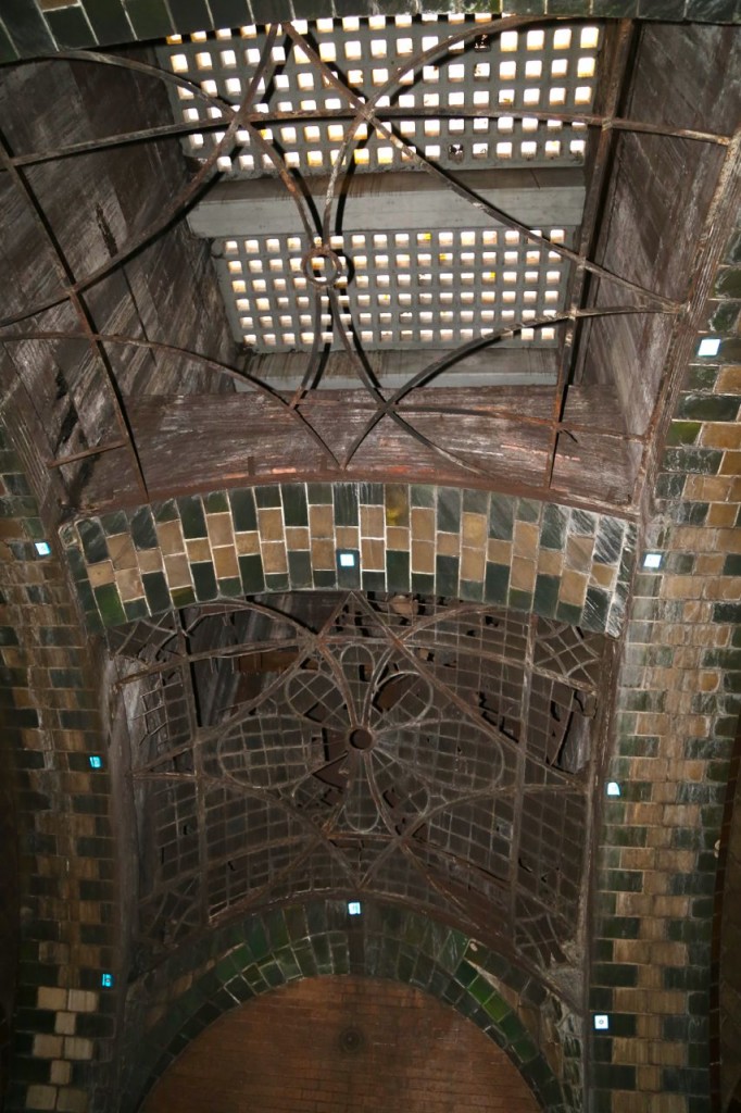
One of the platform’s skylights. The glass has fallen out of one of them, and the glass in the street level concrete can be seen.
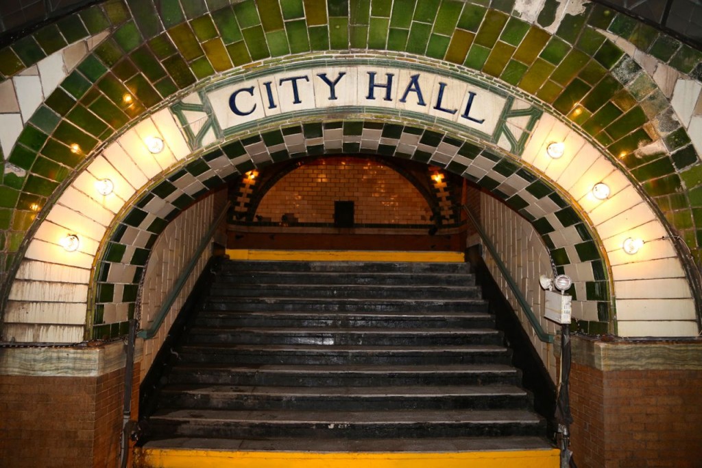
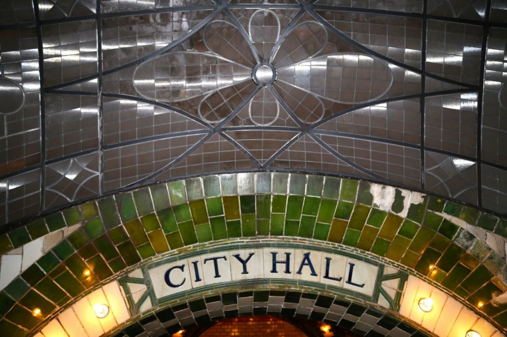
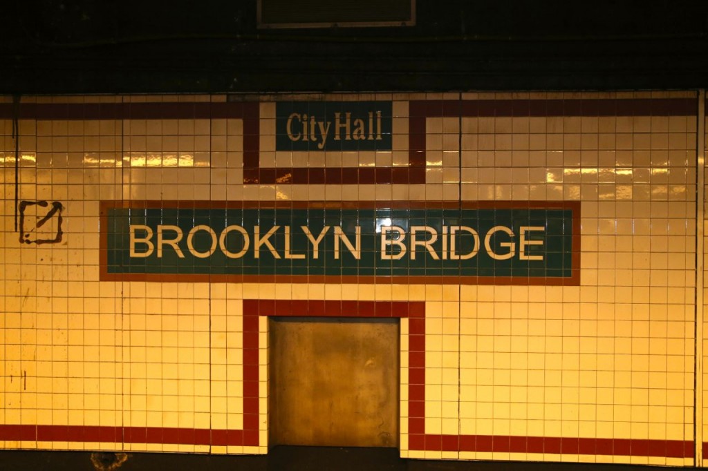
One thing I have always appreciated about the New York subway system is the tile work. All the stations have tile work, and generally each station has a somewhat unique tile work for at least the station signs. Some stations have really unique and beautiful tile work for example the Times Square and American Museum of Natural History stations. The tiles themselves in the old City Hall station are not gorgeous, but the way they are placed together in the arches are. Therefore for final comparison, below are the station signs at the old City Hall station and the new City Hall/Brooklyn Bridge station.
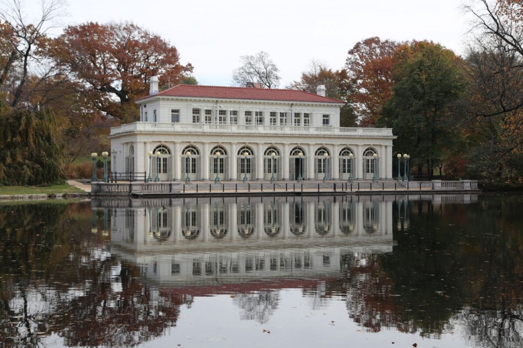
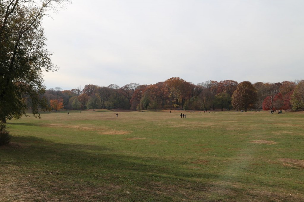
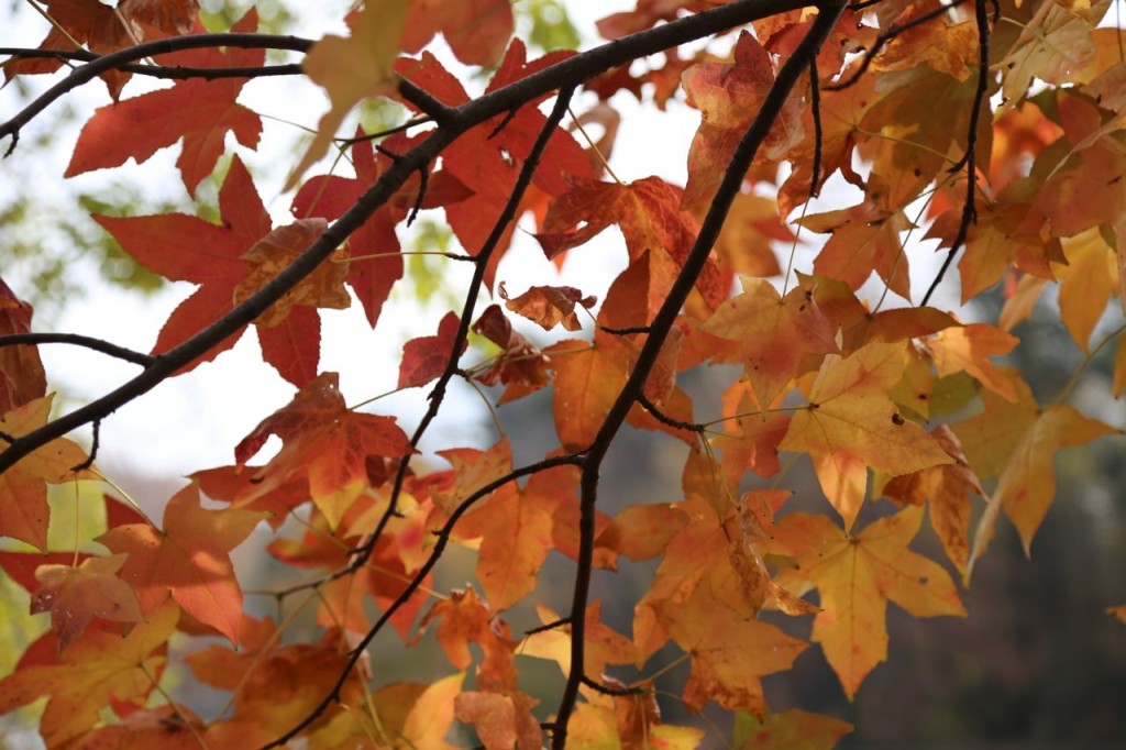
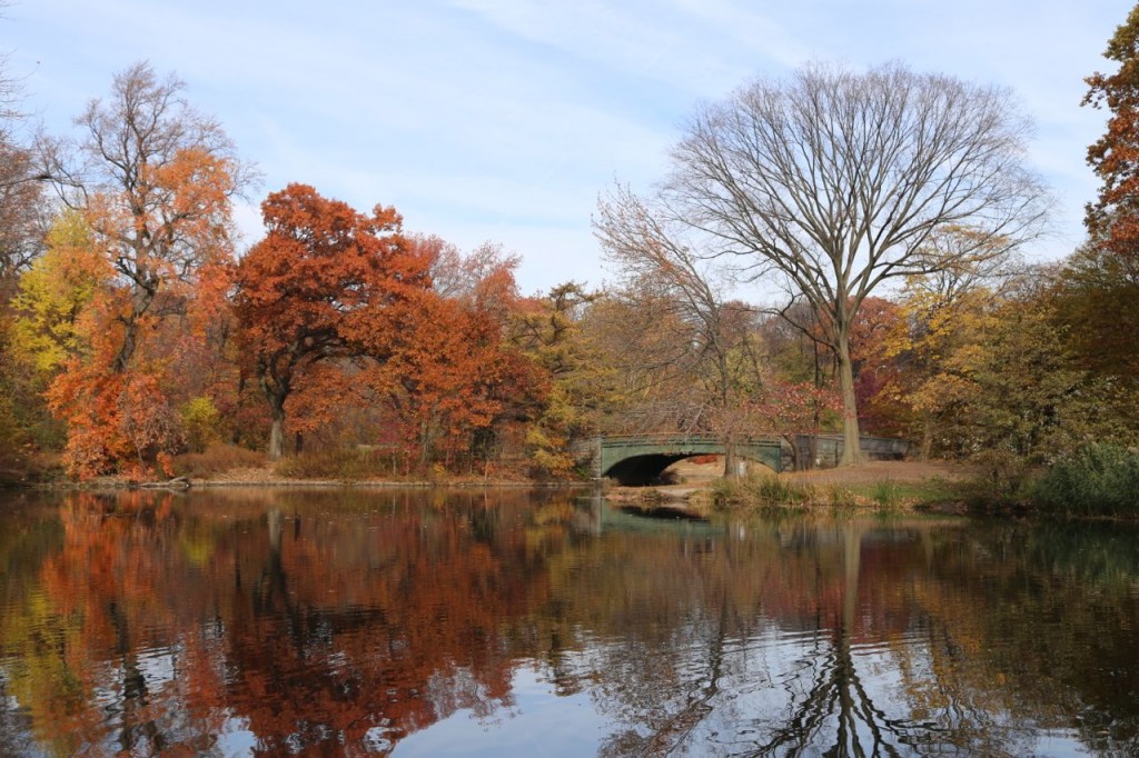
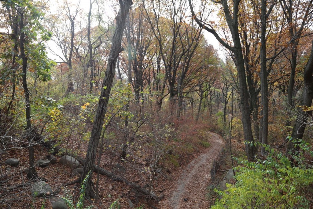
Prospect Park in Fall
Delancey Williamsburg Bridge Rail Terminal
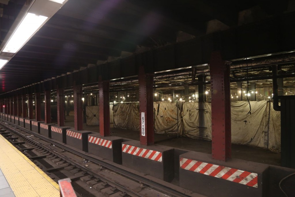
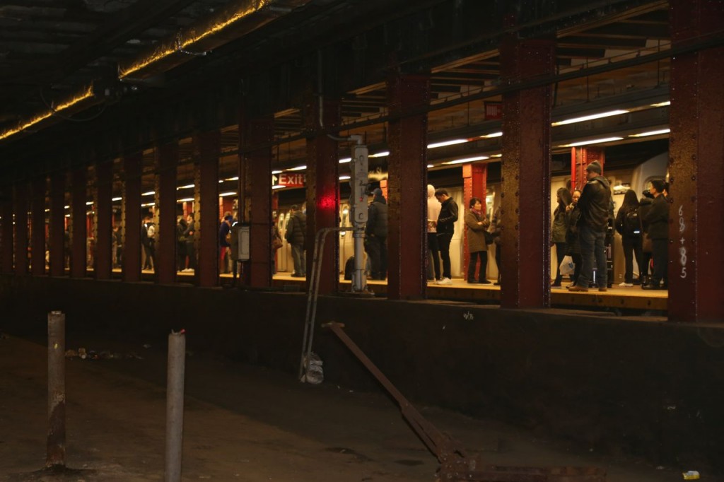
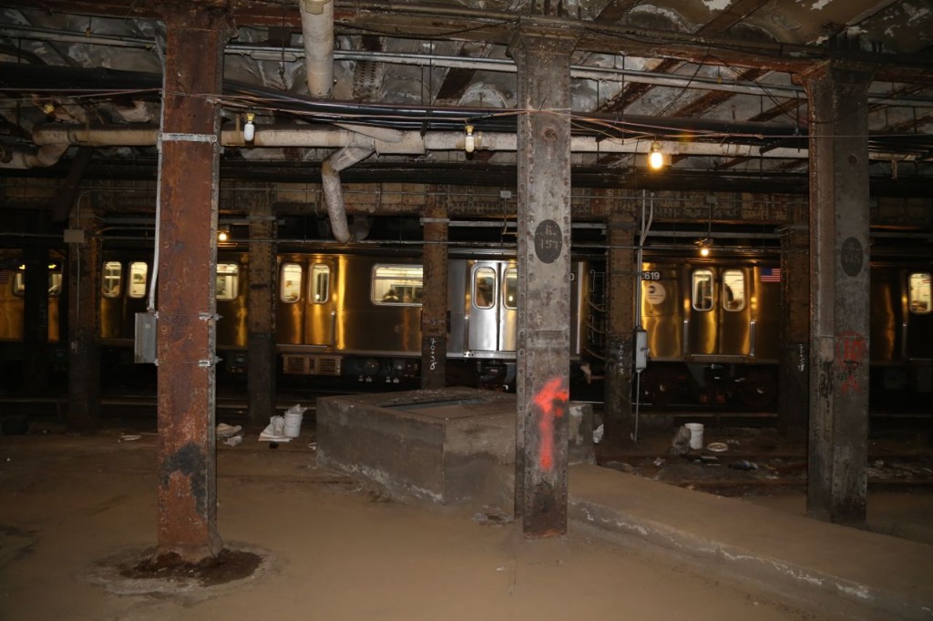
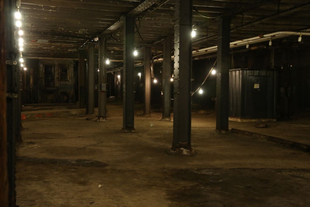
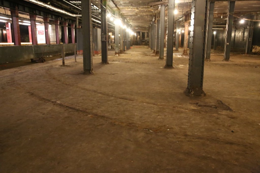
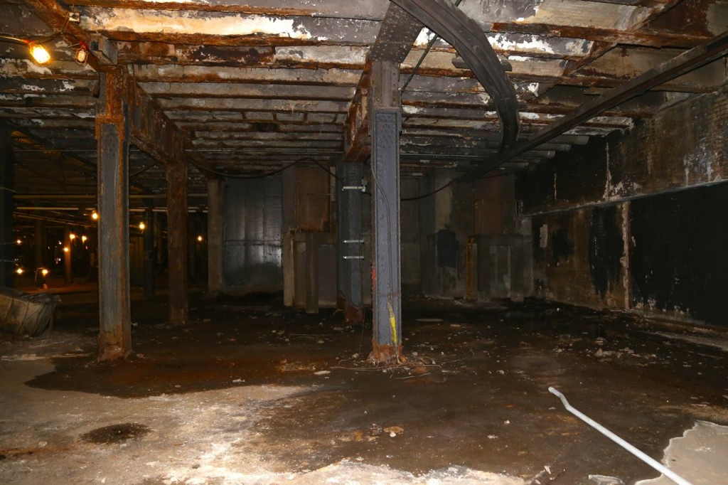
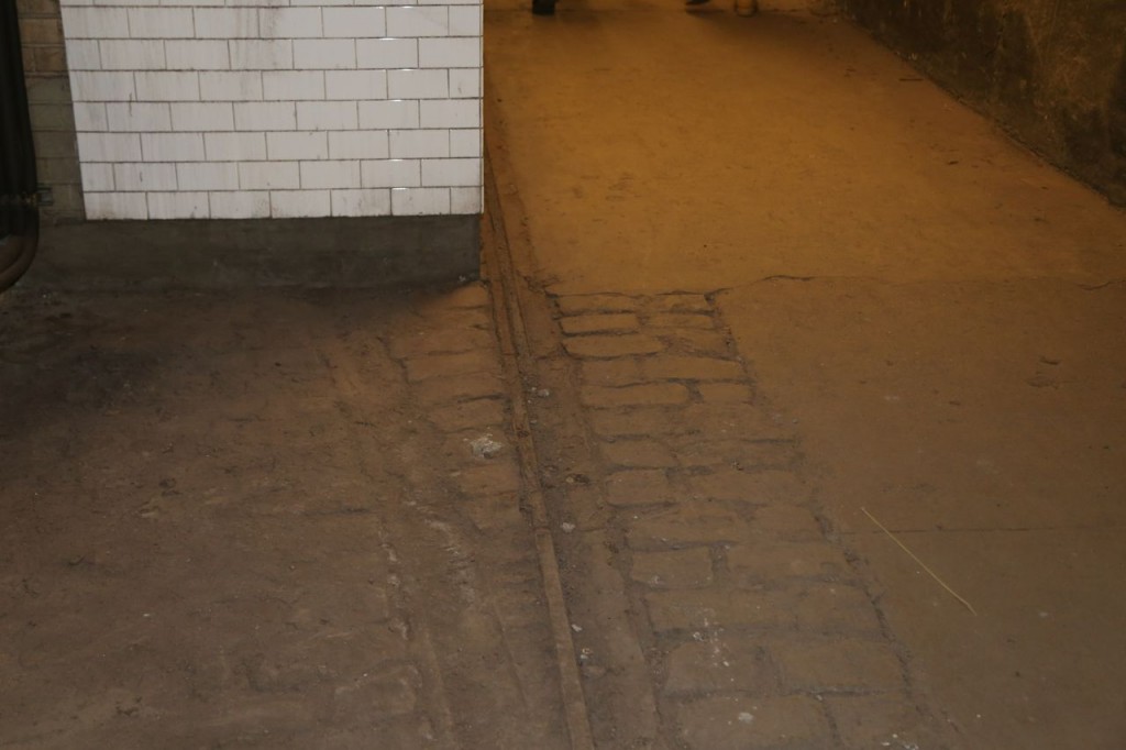
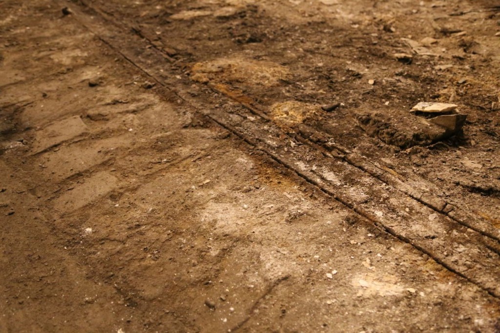
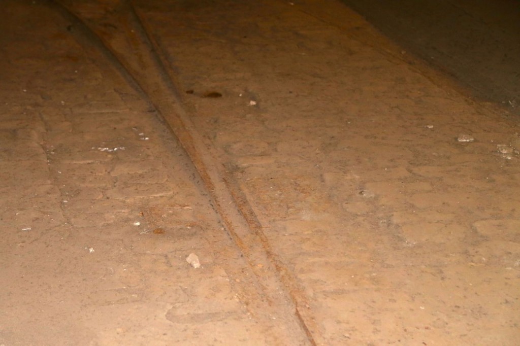
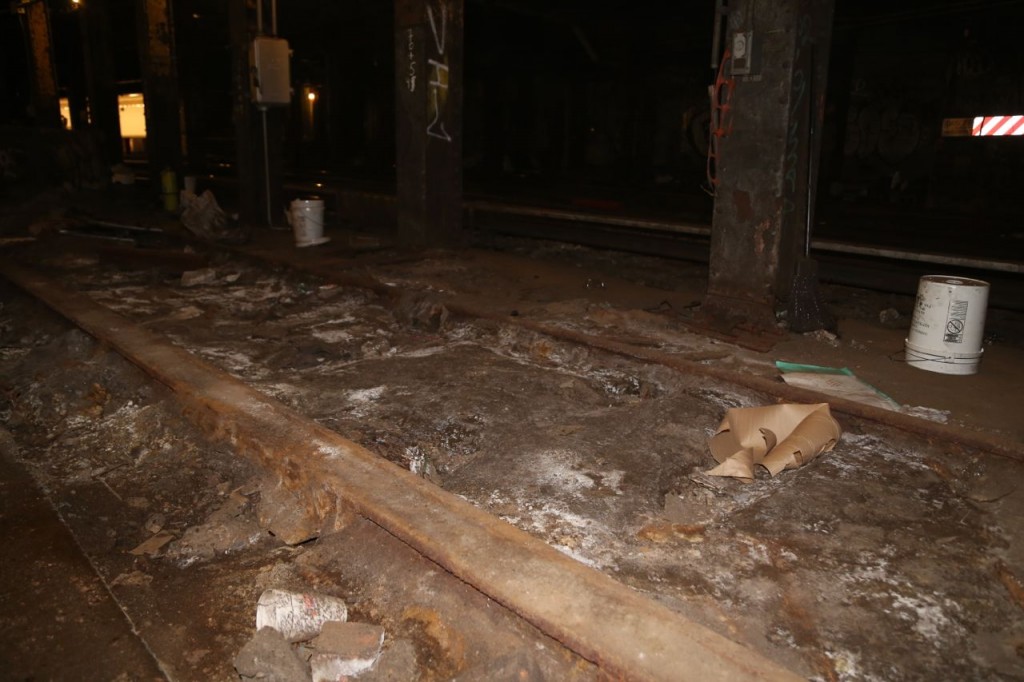
I joined the New York Transit Museum this year so that I could go on some of their members only tours of some real cool transit places. Today I toured one of those places, the old Essex/Delancey trolley terminal from the Williamsburg Bridge. Trolleys from Brooklyn came across the Williamsburg Bridge to Manhattan and then turned around in this terminal. Trolleys in Brooklyn were evidently on a different rail system type and thus couldn’t continue onto the Manhattan rails. I won’t try to give the history, as so many places can be found, which do it much better, such as this one. The terminal is right next to the Delancey and Essex subway stations and can be seen from part of the platform. Inside the terminal area, some of the old tracks, paver stones, and rails can be seen. While I found those interesting, I also just loved being able to walk in a behind-the-scenes area that the general public usually can’t access.
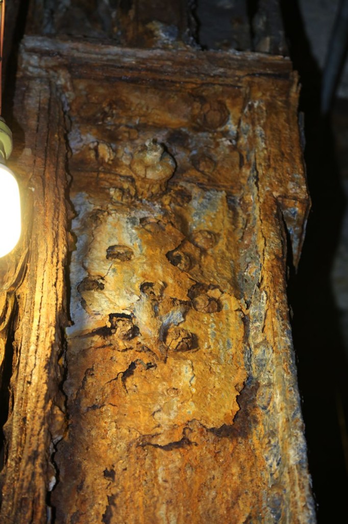
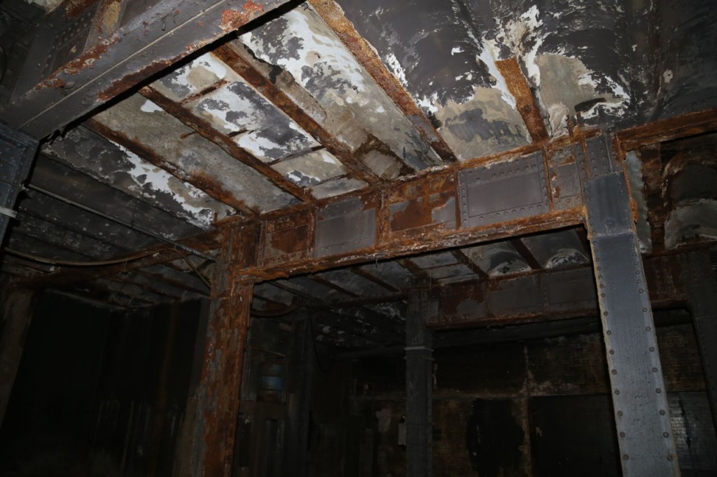
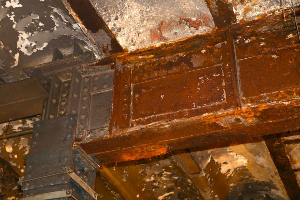
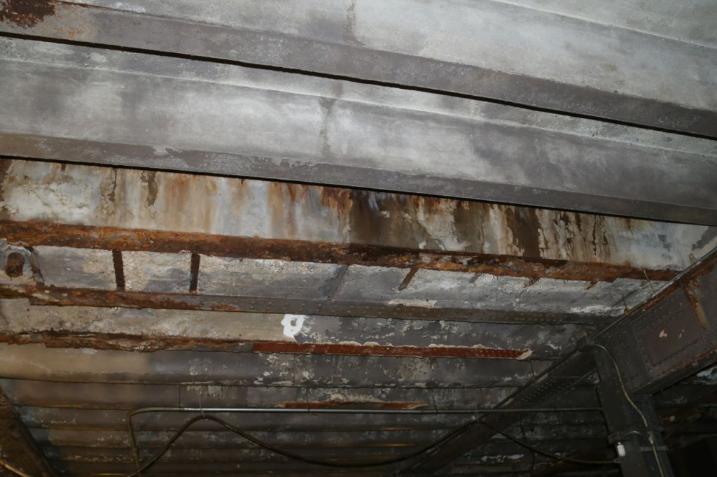
Another thing I found interesting was the condition of the columns and beams. Like almost all parts of the New York underground, the area is continual being eroded by water that seeps in from groundwater and storm water that flows through various cracks in the utility areas. Thus much of the metal support structures were badly rusted. Some parts of the area have been rehabbed but not all. It was a stark reminder of how continual maintenance is needed on essentially everything humans build. If you are not an engineer, you can be forgiven for not understanding that once something is built, it still needs maintenance. It can’t just simply be left to itself to continually function properly for all eternity. Unfortunately most politicians, who hold the purse strings to maintenance funding, don’t seem to understand this.
There is an idea or plan by some to turn the area into an underground park called the Lowline. It would be incredibly interesting to see that if it happens. In the meantime, I’m glad I got a look at this piece of New York’s transportation history.
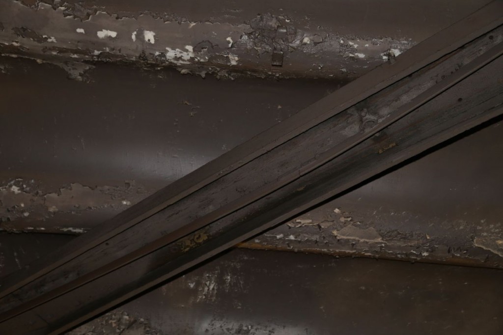
Old rail, which is held inside a wooden casing. Wood was used since it doesn’t conduct electricity, and rail was electrified.
Deep Throat Parking Garage
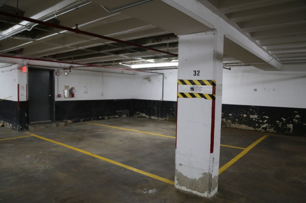
Why do I love Google? Because I can search on “deep throat garage rosslyn,” and Google will immediately give me websites about the garage where Bob Woodward met Mark Felt, aka Deep Throat, in the Rosslyn area of Arlington, Virginia. The only way Google failed though is that it would not pull up the location in Google Maps. I had to get the address through one of the articles.
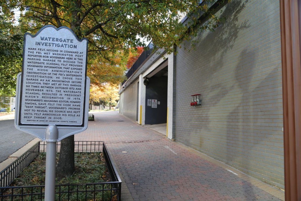
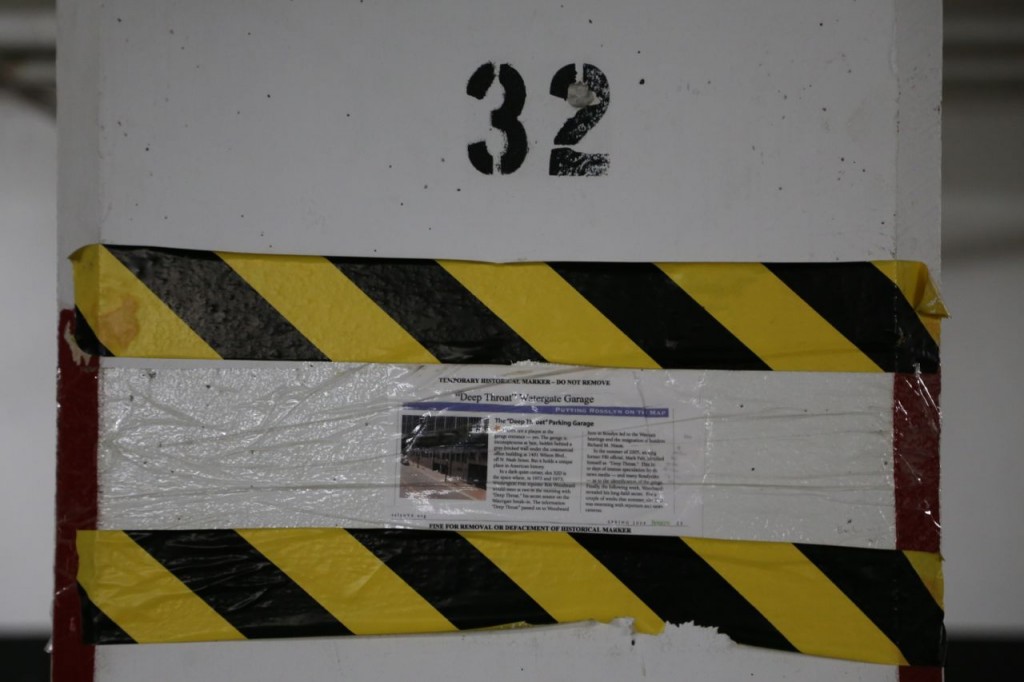
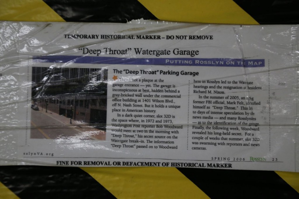
Why do I love Arlington? Because there is an actual historic marker outside the garage entrance describing this “historical” location. I mean really, who wants to visit the location of a Civil War battle or the Capitol of the United States when you can visit the exact parking spot on the lower level of a garage where a reporter met the second in command of the FBI about the Watergate Scandal? The column next to the parking spot even has a “temporary historical marker” for which there is evidently a “fine for removal or defacement.” I have never seen a historical marker that was paper covered rather badly by a lot of clear tape and bordered by lovely yellow and black tape. The “temporary historical marker” clearly gives this historical location the solemn respect it deserves. However, please be aware, if you want to visit this historical location, plan to do so in the next year or so. There are plans to tear the buildings there down. [Read the comments on that article. Some of them are truly hilarious.] There outside historical marker would evidently stay though.
You can read more about the site here. The garage is located at 1401 Wilson Blvd. in the Rosslyn area of Arlington. The parking spot is on the very bottom level in the southeast corner right next to stairwell, which was apparently one of the reasons why that spot was chosen. I don’t know how many visitors it gets. However, when I went there on a Sunday afternoon, the garage was under going repairs, such that I didn’t immediately realize there were multiple levels because I couldn’t see the car ramps. One of the contractors walked up to me and asked if I was trying to park. I said no, I was trying to find a particular parking spot, the Deep Throat parking spot. He knew what I meant and told me how to find it. So, it is a tourist attraction of sorts!
Theodore Roosevelt Island
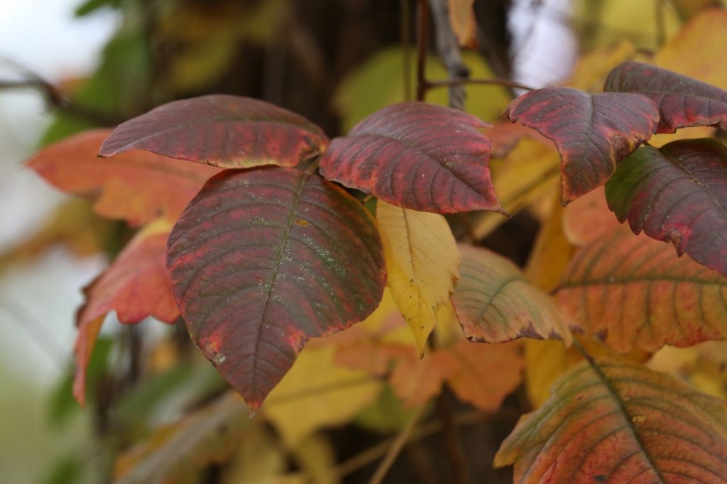
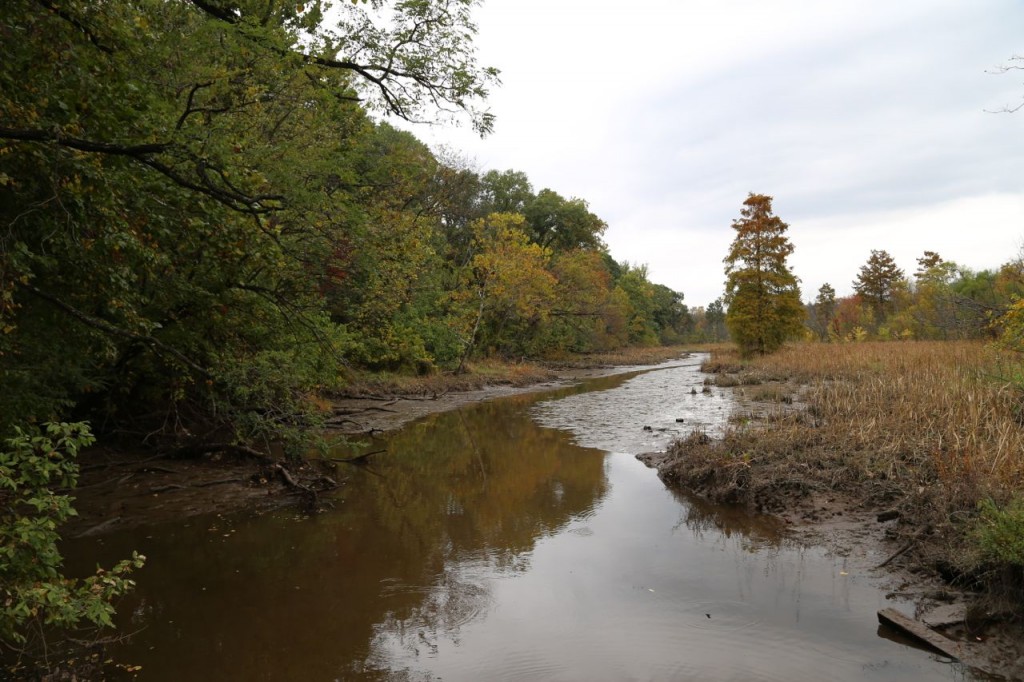
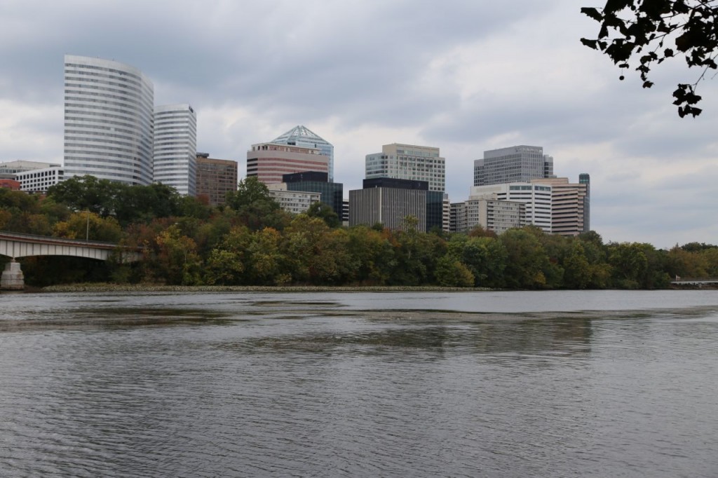
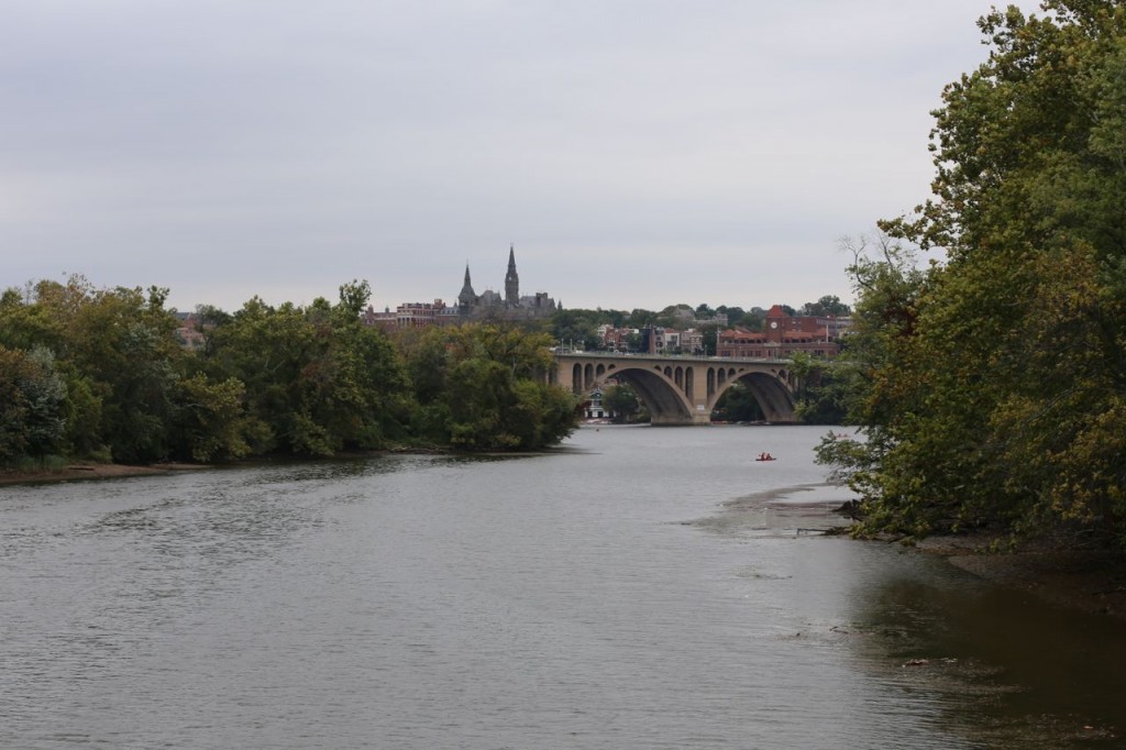
I spent a little time on Theodore Roosevelt Island National Park today. It is a nice little park in the Potomac River. Visually, it is hard to believe that this wilderness area is right in between the congested areas of Washington, DC and the Rosslyn area of Arlington, VA. However, as it is in the flight path of National Airport, and I-66 actually runs over the southern section of the island, you can hear how close you are to the urban areas. It is still a nice area, and as fall has come, many of the leaves were starting to show beautiful color. It also has lovely views of Arlington and the surrounding bridges over the Potomac. Also, I finally got some good photographs of double-crested cormorants.
Book Review: “Conquering Gotham”
This isn’t really a proper book review but really more of a book recommendation. I’m not a writer or literary critic. I’m just an engineer who just finished reading a book about the history of one the greatest engineering feats in the early twentieth century and want others to know how interesting a book it is. The book is “Conquering Gotham: A gilded age epic: The construction of Penn Station and its tunnels” by Jill Jonnes (Penguin Group, 2007).
The book chronicles some of the history of various people and companies who tried to link Manhattan Island and New Jersey via bridge or tunnel. When the book starts, the Brooklyn Bridge, which was an engineering feat in itself, has been built, but the only railroad connection to Manhattan Island was via New York Central and its bridge over the Harlem River. Thousands of commuters, other people, and cargo must use ferries across the Hudson River everyday to get to Manhattan from New Jersey. Dewitt Clinton Haskin unsuccessfully attempts to build a tunnel underneath the Hudson River, but due to construction and financial problems, the tunnel was abandoned. [Decades later the tunnel would be completed and in present day is used for PATH trains.] Gustav Lindenthal unsuccessfully tried for decades to build a bridge across the Hudson River but was never successful due to an inability to get funding. Pennsylvania Railroad (PRR) under the leadership Alexander Cassatt is determined to get their trains into Manhattan in some manner instead of having their tracks end in New Jersey and their passengers needing to take ferries across the river.
The book describes how PRR explores the possible ways to get their trains to Manhattan Island and finally settles on an audacious plan to build two tunnels underneath the Hudson River, two tunnels under and through Manhattan, a grand station in a not so nice section of Manhattan, and four tunnels underneath the East River to further expand their tracks into New England. Completing this audacious plan is fraught with many engineering and financial difficulties and is further complicated by the need to deal with the corrupt New York City Tammany Hall politicians, which put about as many delays on the project as the difficult engineering. The history is fascinating, and Jonnes describes it really well. The book is not a dry history textbook. She describes the engineering obstacles in a way in which a non-technical person will understand and be interested, although as an engineer, I actually would have liked more details about some of the engineering issues, particularly with the tunnels.
The final chapter describes some of the post-completion problems, including the eventual decline of the railroads due to automobiles and then aviation. The modifications made to Penn Station after its completion and finally its destruction and replacement with the atrocious Madison Square Garden are also discussed. I have traveled on Amtrak trains many times via the Hudson River tunnels and twice via the East River tunnels. I have a much better appreciation for the difficulties in their construction now. I am also now even more sad to have never seen Penn Station in its original glory. In my humble opinion, the current Penn Station with Madison Square Garden is the ugliest and most ill-designed train station ever, and New York City deserves so much better. Of course, New York City is partially to blame for the destruction of the original and the construction of the current Penn Station.
If you are at all interested in history, transportation, or engineering, I highly encourage you to read this book. It is a great read. [I received no compensation for this recommendation, and I checked this book out from my local library.]


