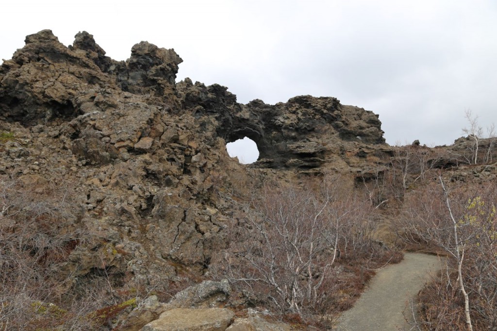
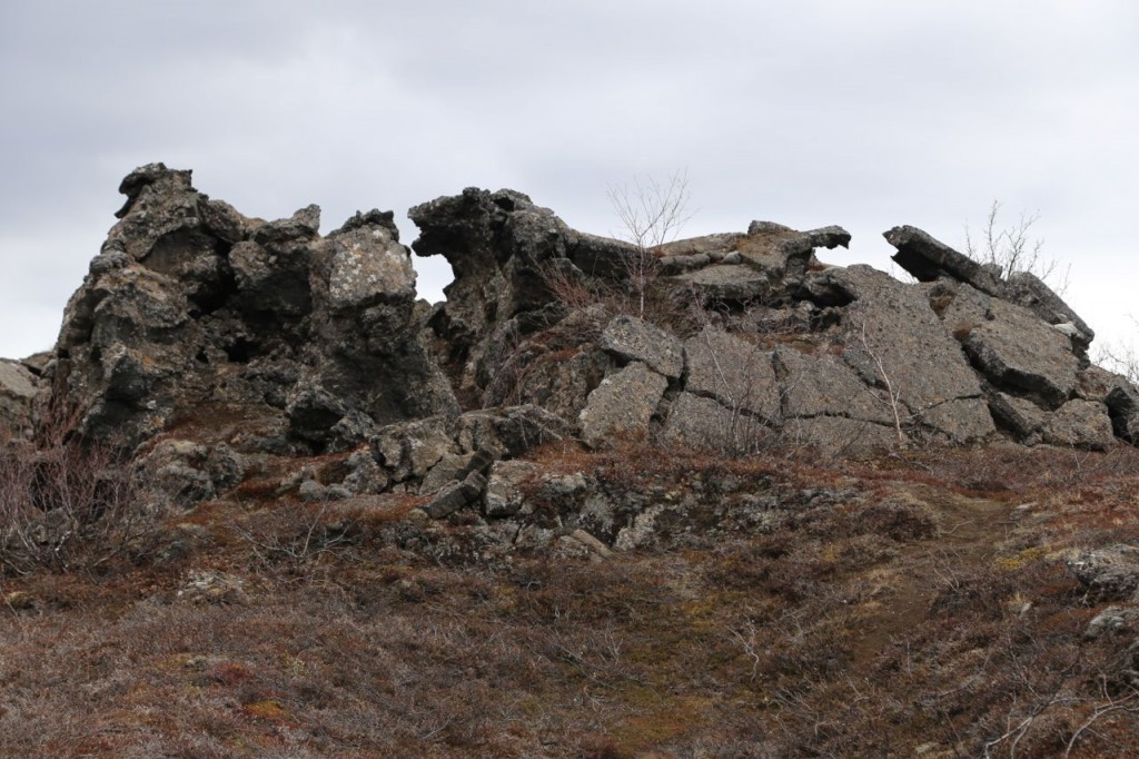
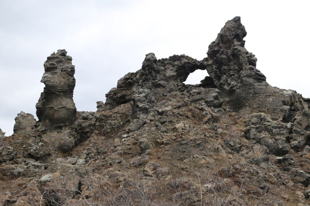
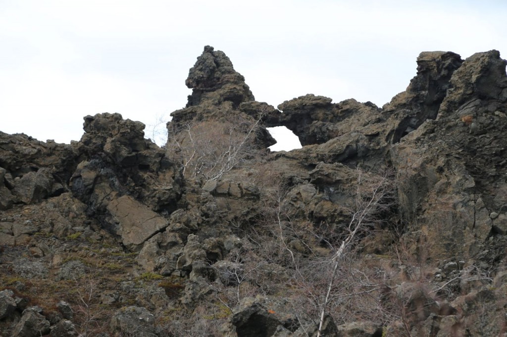
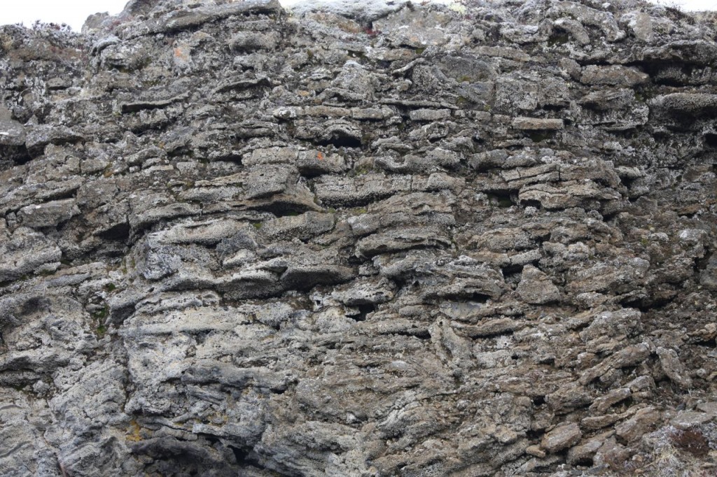
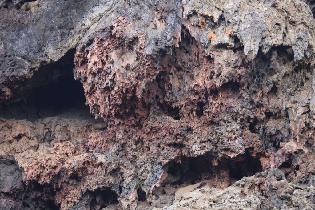
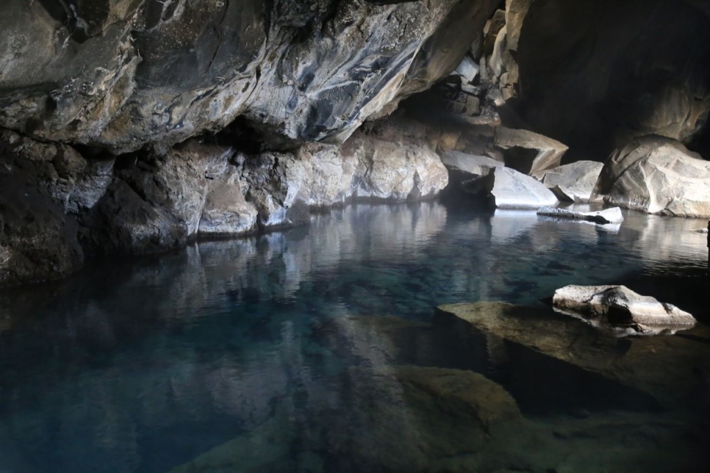
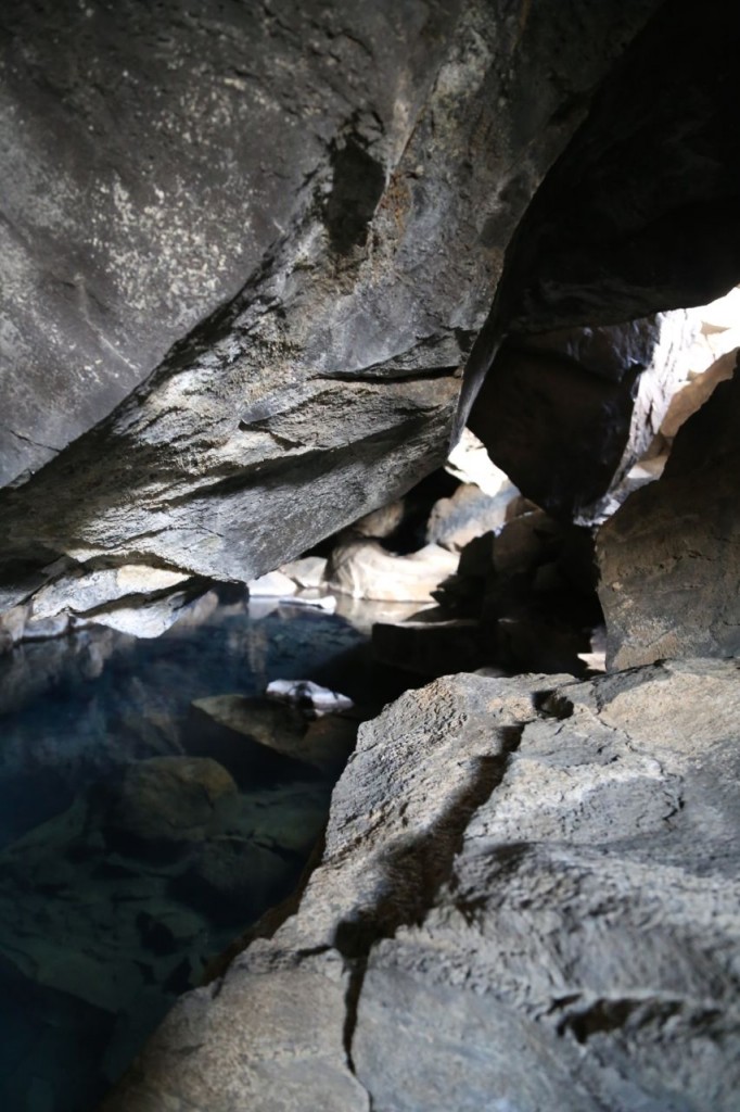
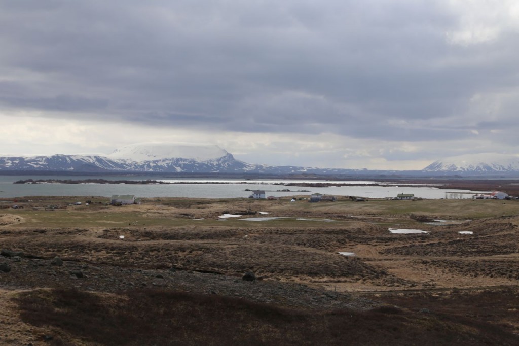
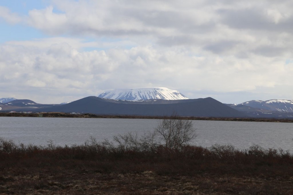
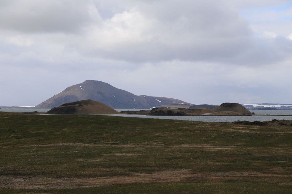
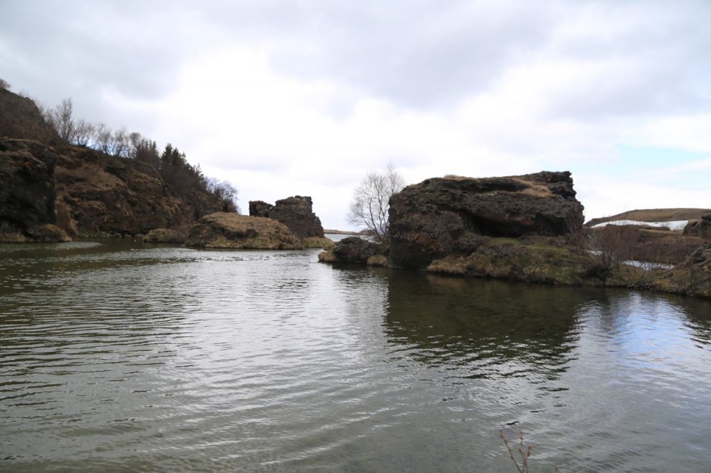
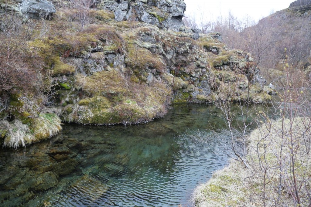
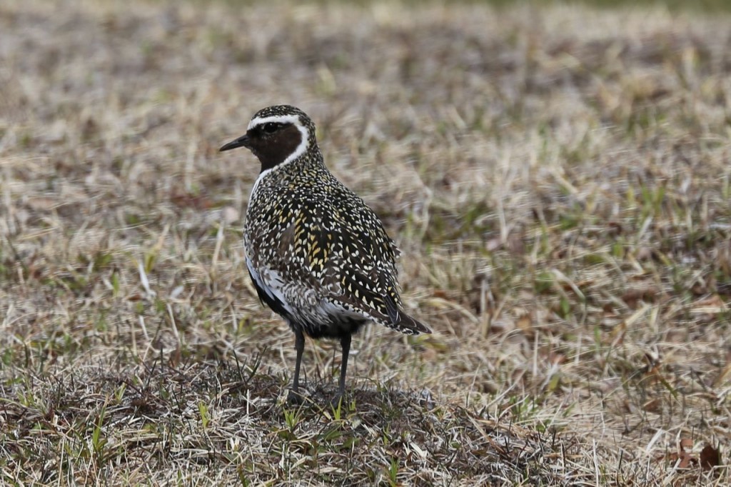
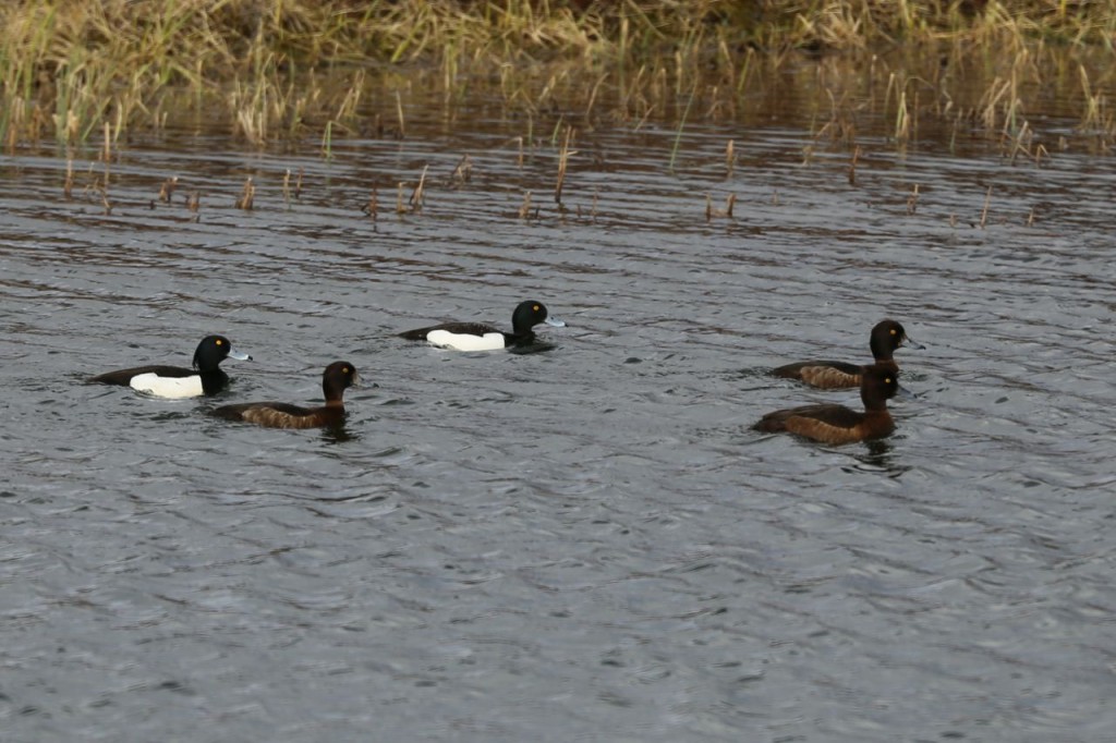
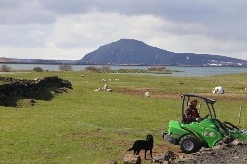
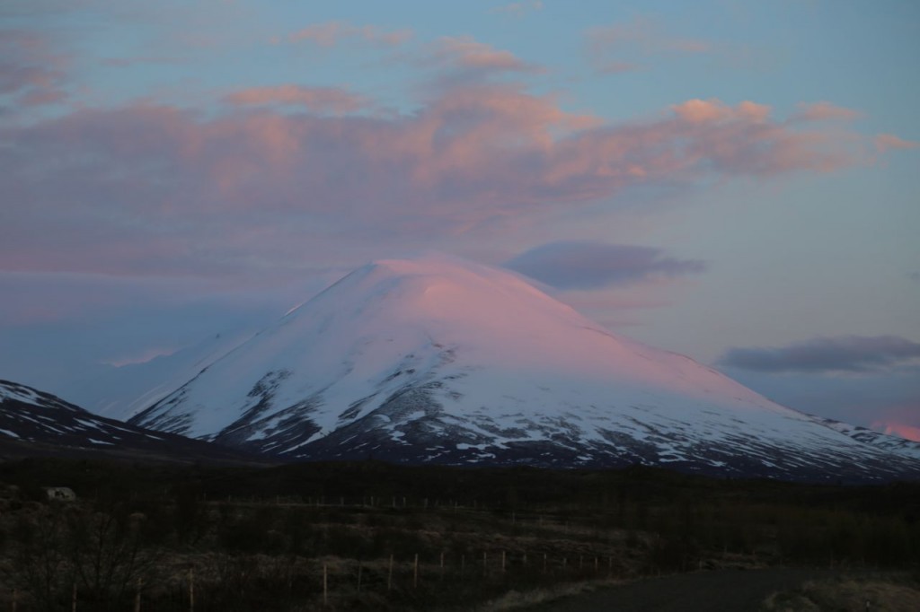
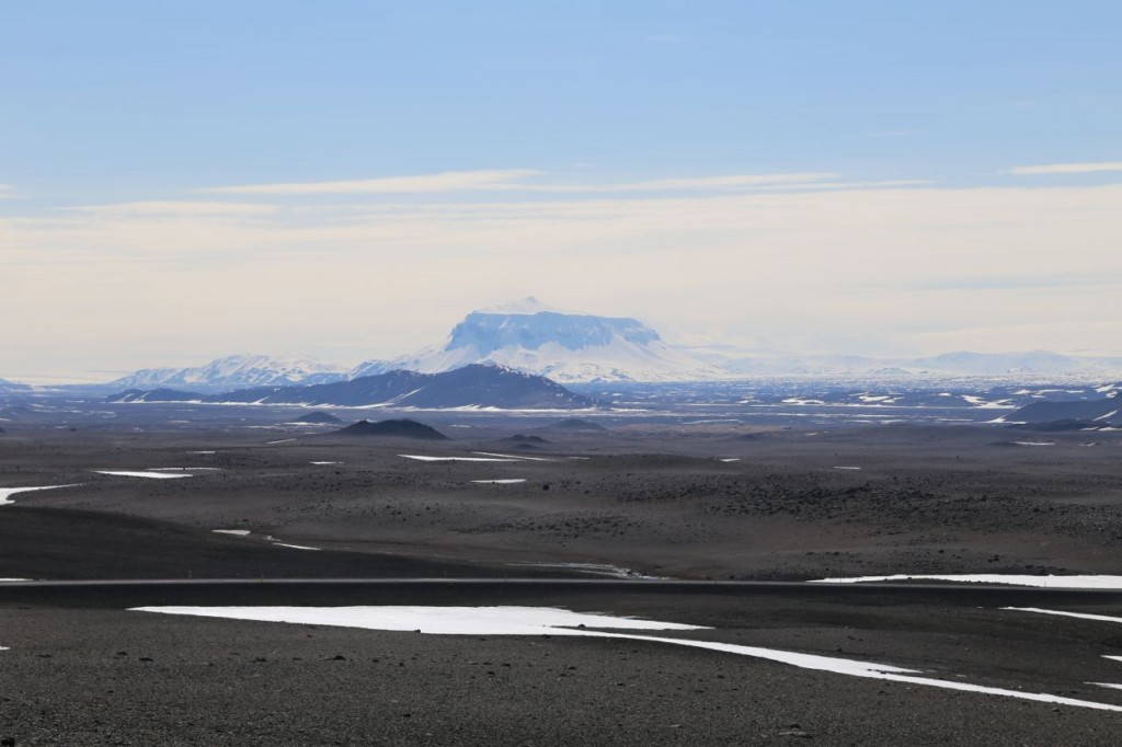
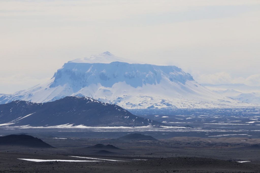
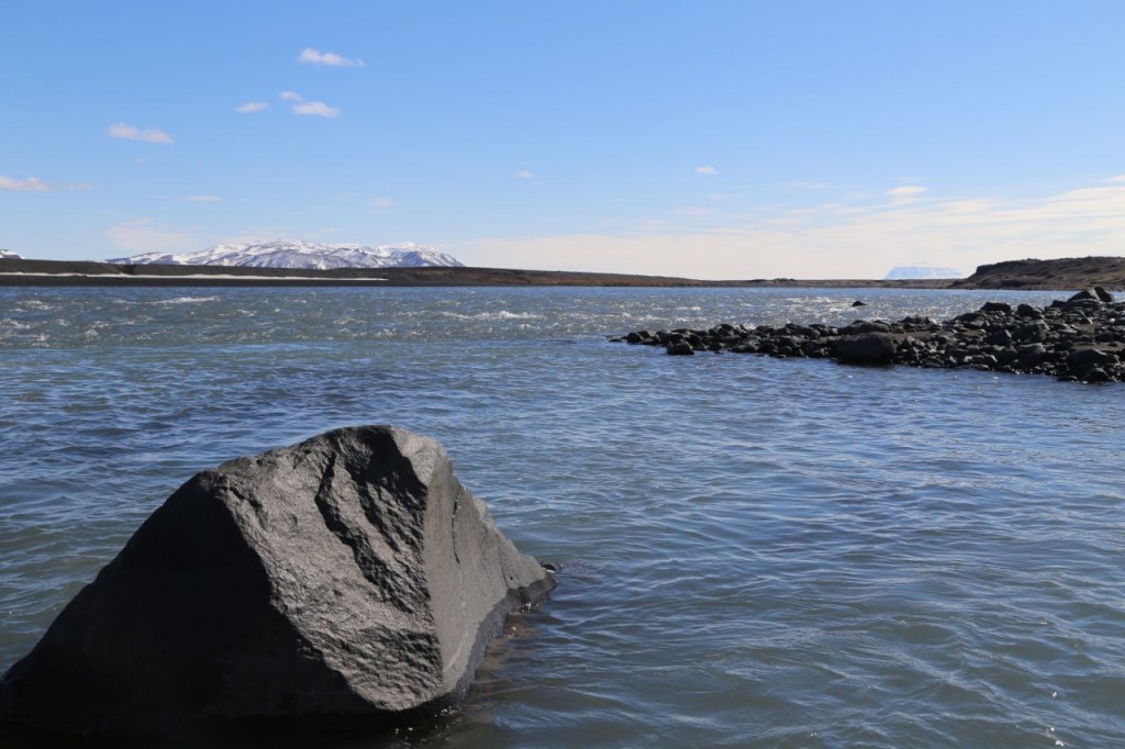
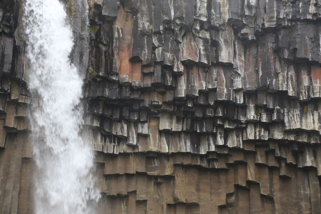
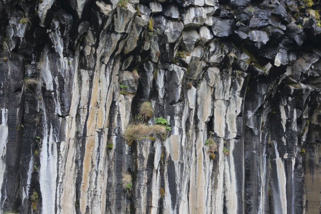
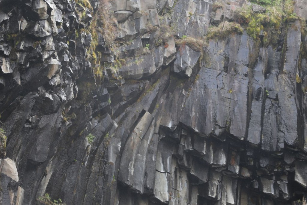
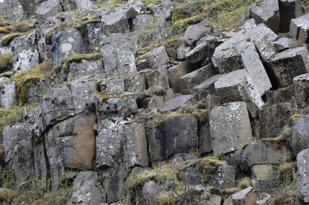
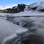
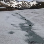
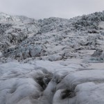
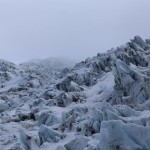
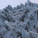
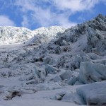
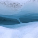
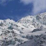
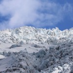
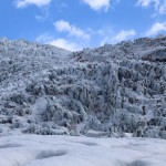
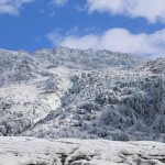
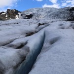
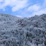
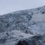
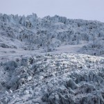
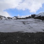
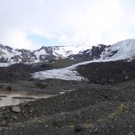
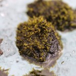
Another site in the Mývatn region of Iceland that we explored is Dimmuborgir. It is an area of unusually shaped formations from volcanic activity. That is a boring way to describe it really. It is awesome, and it looks like hell, and I mean that in the nicest possible way. The formations are just bizarre really. Also the rocks vary in color and are quite pretty.
Tag Archives: Photography
Grjótagjá
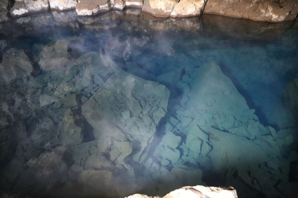
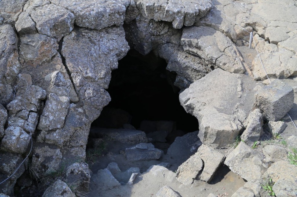
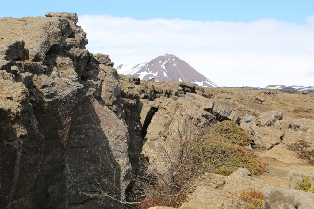
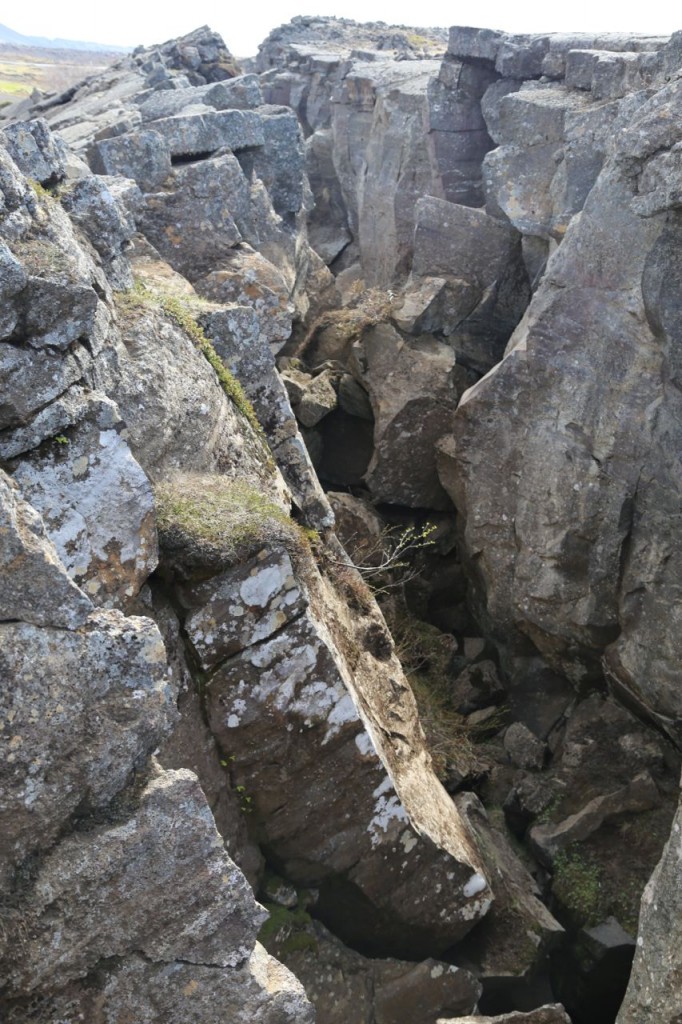
While exploring the Mývatn region of Iceland, we visited Grjótagjá. Grjótagjá is a small cave that has a geothermally heated natural pool inside it. It used to be used for bathing until volcanic activity in the 1970’s raised the temperature of water too high. It is still really cool though. The water is crystal clear, and steam can be seen rising from it. Above the cave, the landscape is fissured from the volcanic activity. It is just an incredibly interesting area.
Mývatn
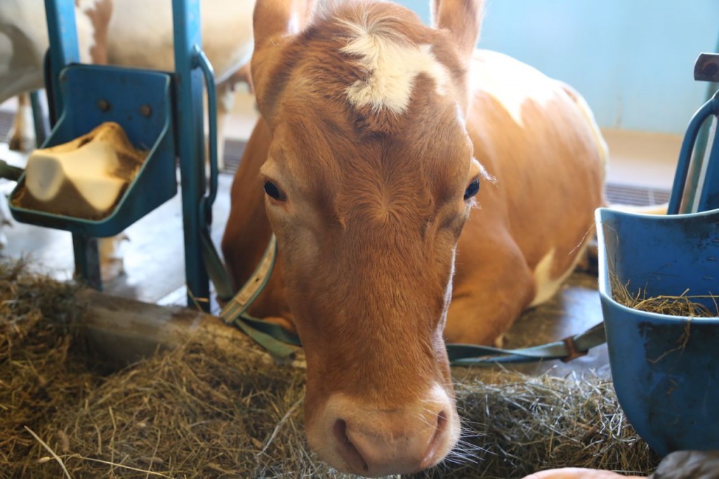
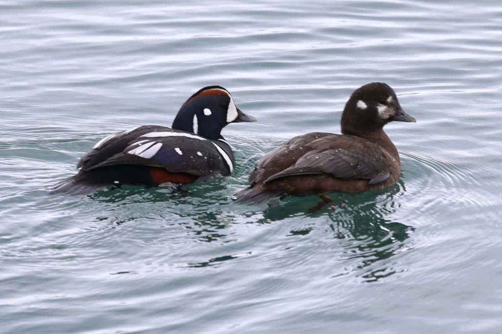
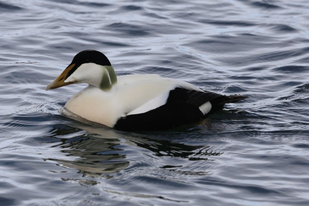
Day 8 in Iceland had us exploring the Mývatn region of northern Iceland. It is a rather geologically active region, even relative to the fact that it is in Iceland, which is essentially an island of geological activity. Mývatn is located close to the Krafla volcano and besides being pretty and interesting, also has birds in abundance due to the huge lake. If you are ever in Mývatn, I highly recommend lunch at Vogafjos, which has incredibly delicious food, including geysir bread, which is cooked underground using geothermal heat, and insanely fresh cheese due to the cows which sleep in the same building in which you eat. They are very friendly cows too. If you are there, go pet them.
Dettifoss
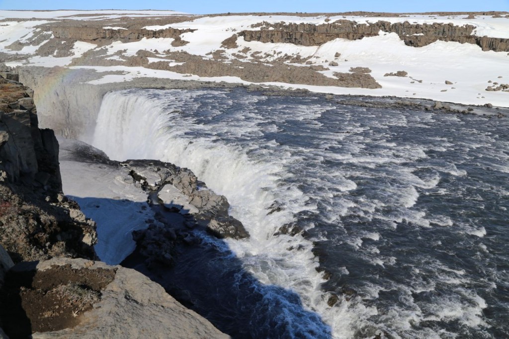
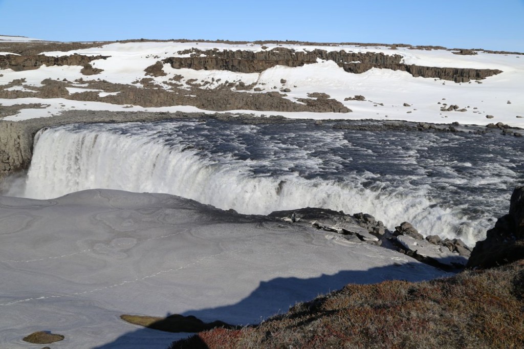
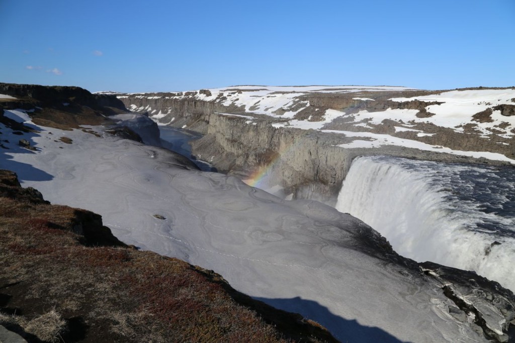
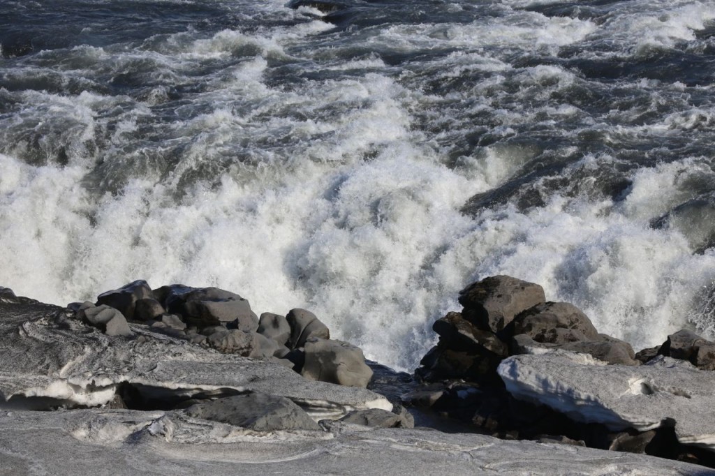
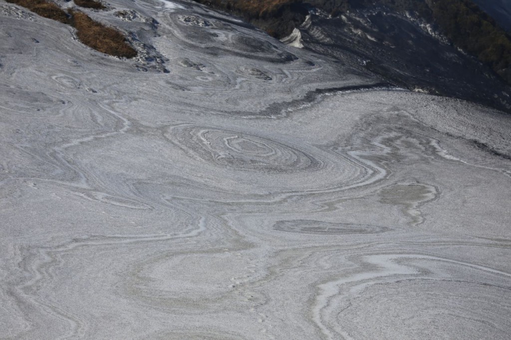
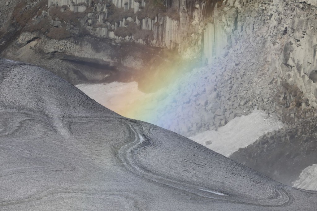
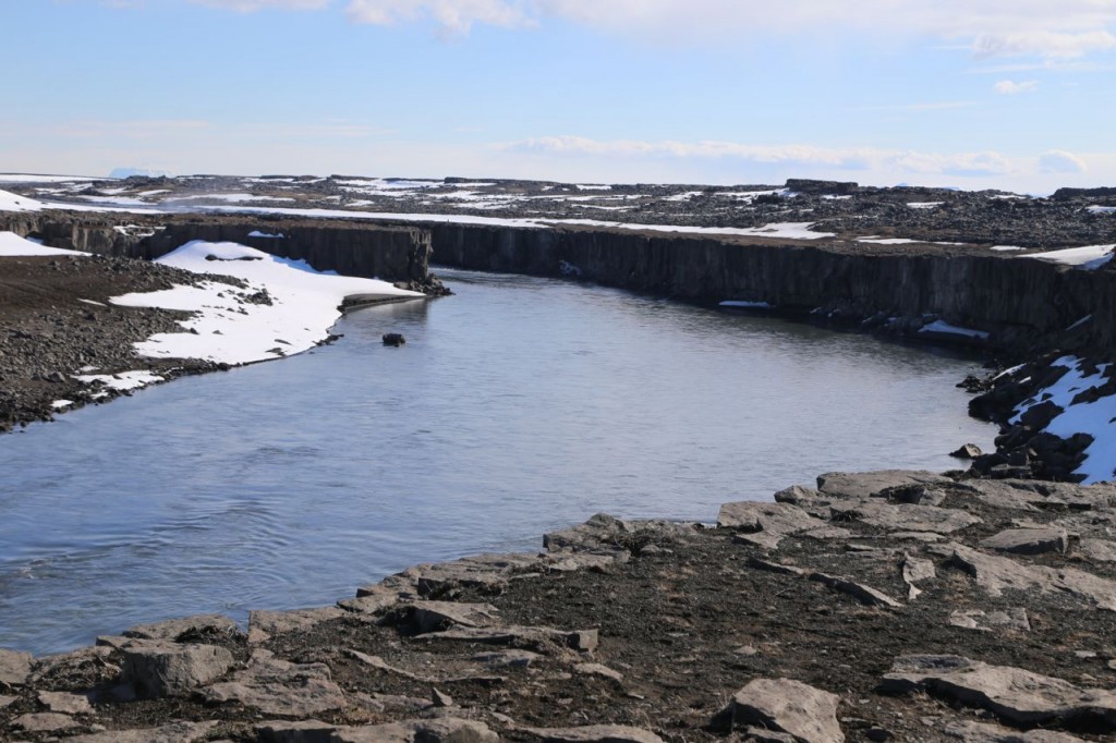
While traveling the Ring Road north, we stopped at Dettifoss. Dettifoss is another waterfall in Iceland, but it has the distinction of being the largest waterfall in Europe by volume of water. It is pretty of course and flows through a dramatic canyon. One of the things I found most interesting about it was the patterns in the snow of the other side of the canyon from it. I am not actually sure how the patterns formed, but I assume it has to do with the topography of side and the time difference in which the snow fell.
Seyðisfjörður
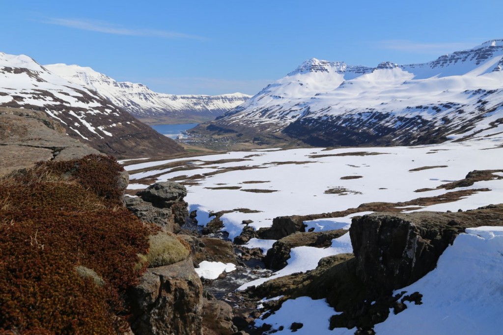
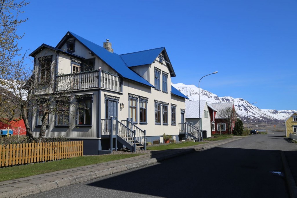
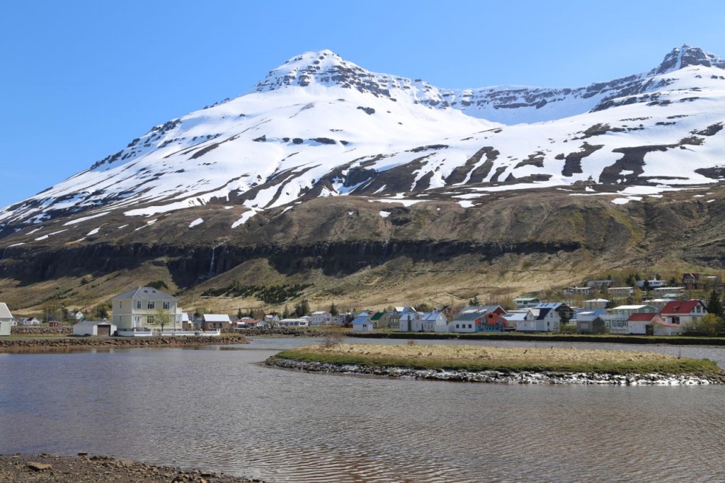
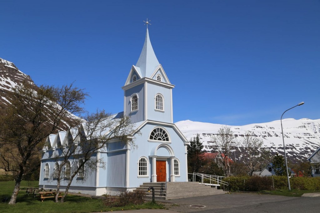
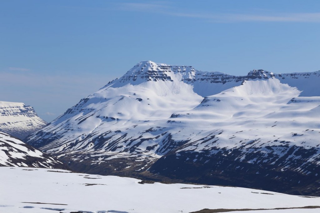
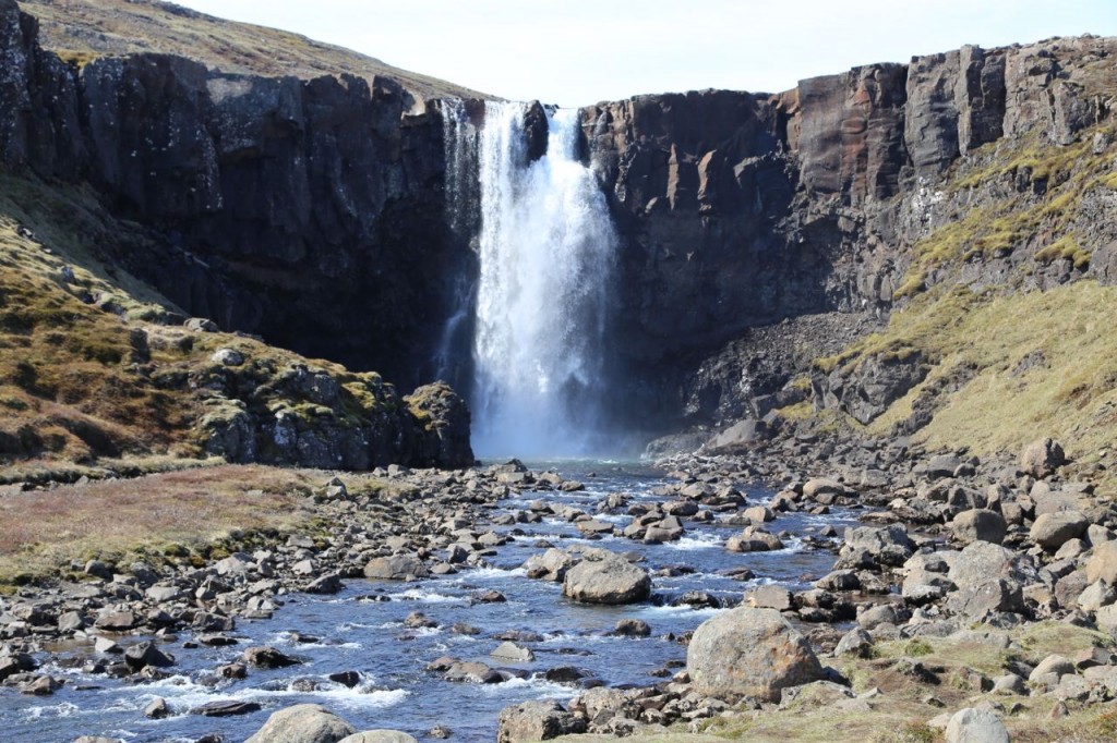
Before traveling the Ring Road north on Day 7 in Iceland, we detoured to the east to visit Seyðisfjörður. Seyðisfjörður is a small village where many artists have taken up residence, and it also happens to be where the ferry from Denmark docks. The road to Seyðisfjörður travels through the mountains before quickly changing altitude to the fjord where the village is located. Near Seyðisfjörður is Gulufoss, another pretty waterfall because you can’t go five minutes in Iceland without passing a waterfall.
Ring Road East
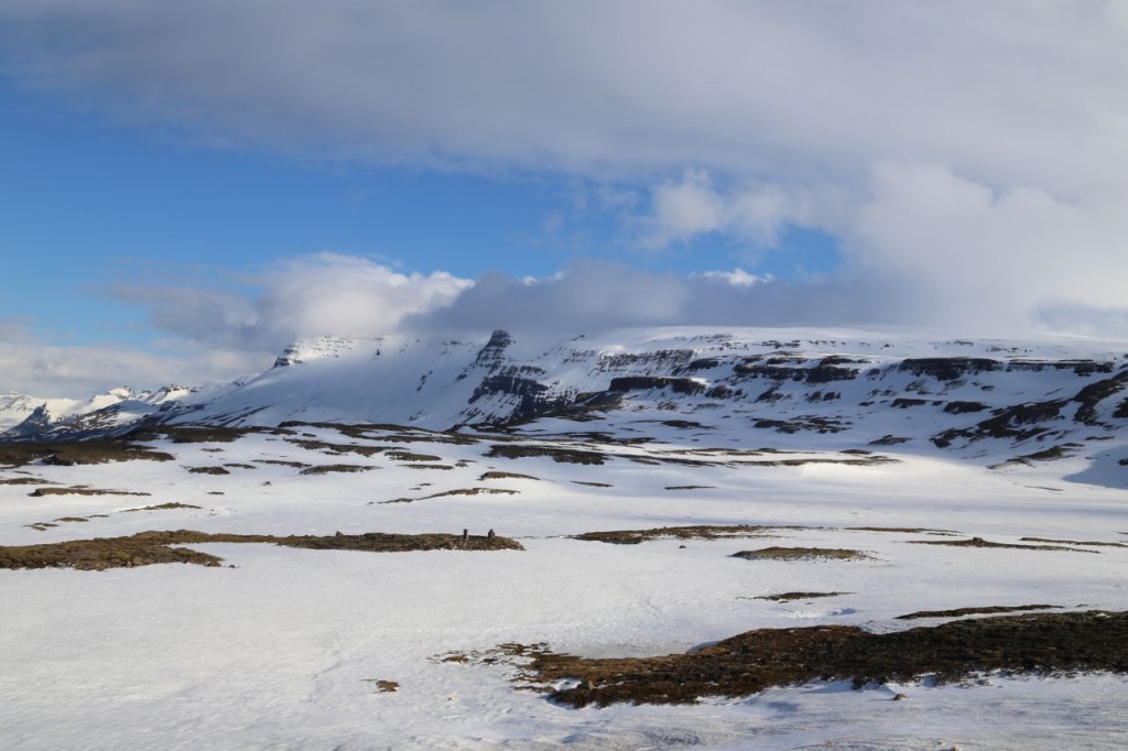
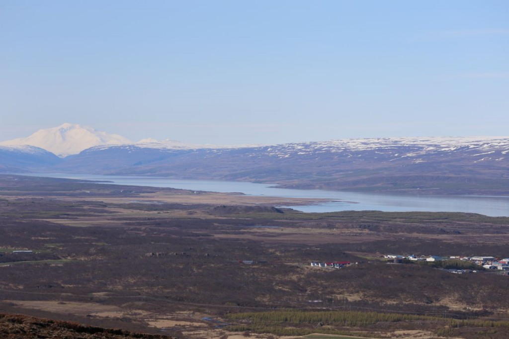
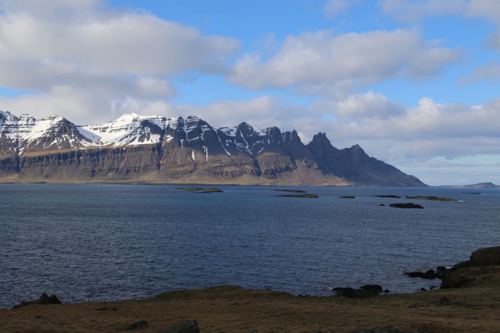
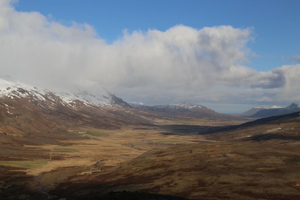
Day 7 in Iceland had us mainly traveling the Ring Road from the east to the north. The Ring Road takes your through the highlands then finally to the fjords and the coast. Much of the highlands were still covered with meters of snow.
Ring Road South
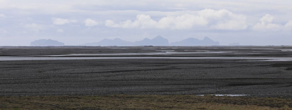
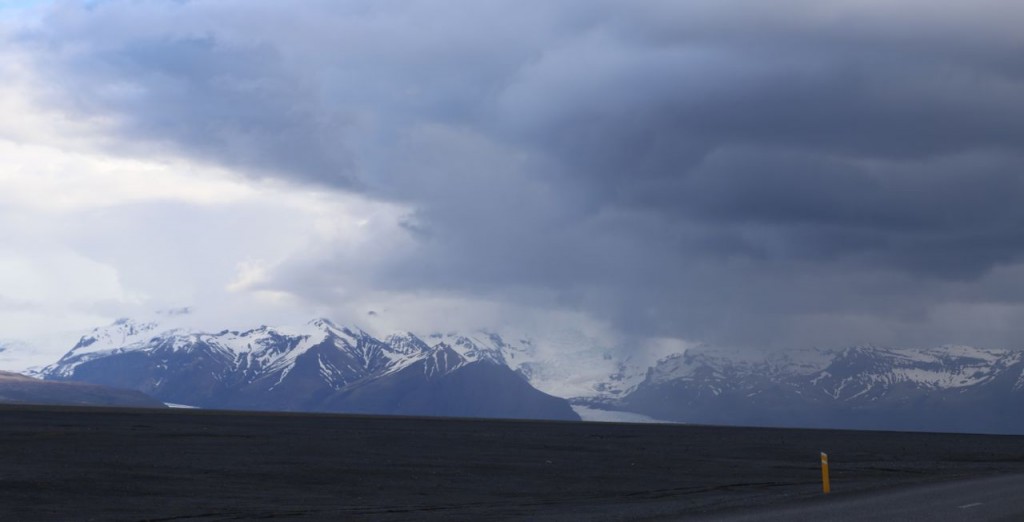
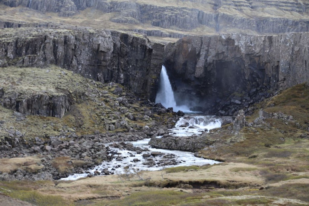
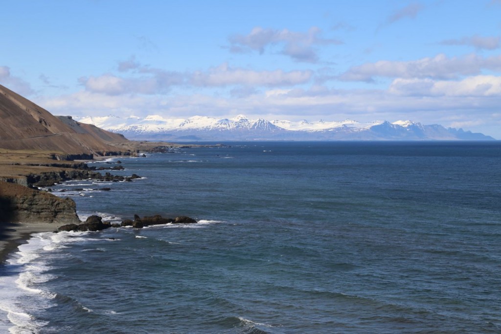
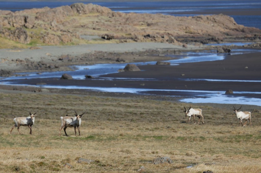
Day 6 in Iceland had us traveling the Ring Road from the center south area to the east. Iceland is a country of dramatic landscapes, and I just can’t get over the beauty of the land. We traveled over lava fields, along rocky coasts, and along fjords into the mountains. Below are a few photos of what we saw traveling the Ring Road.
Jökulsárlón, Glacier Lagoon
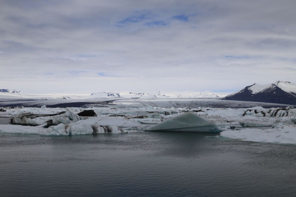
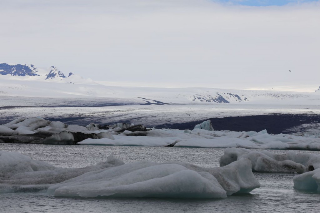
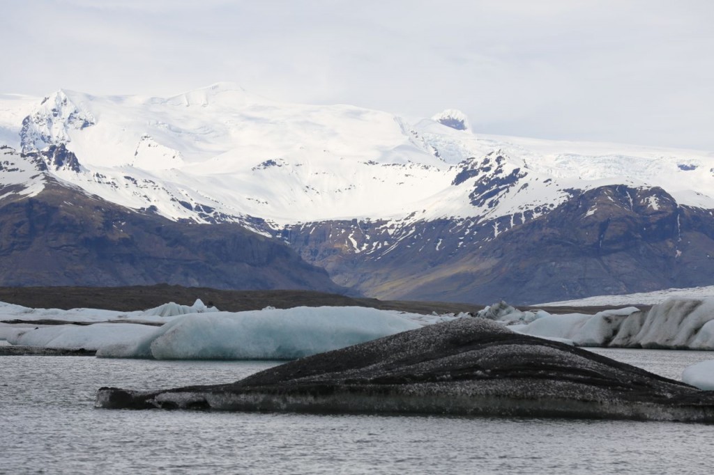
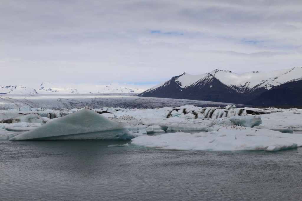
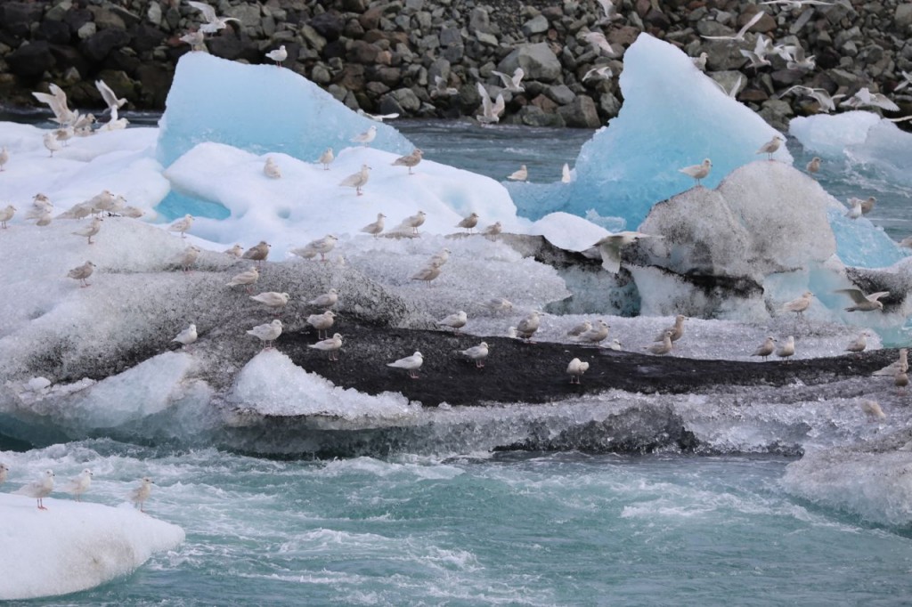
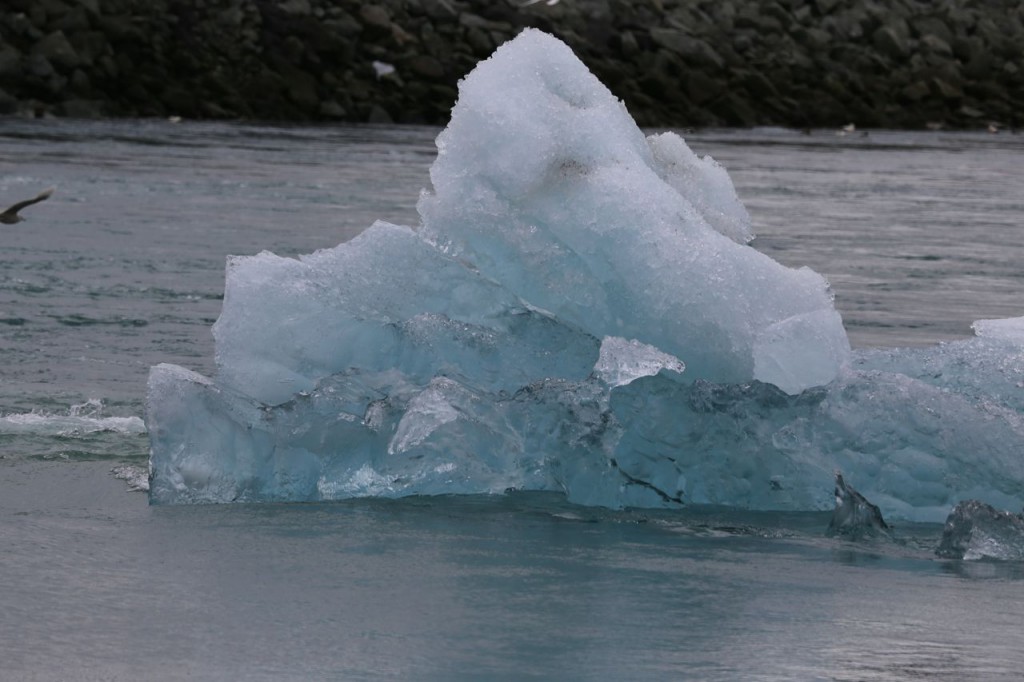
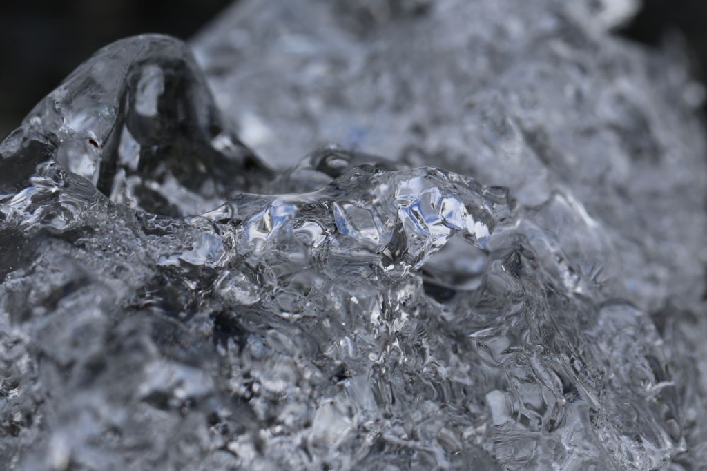
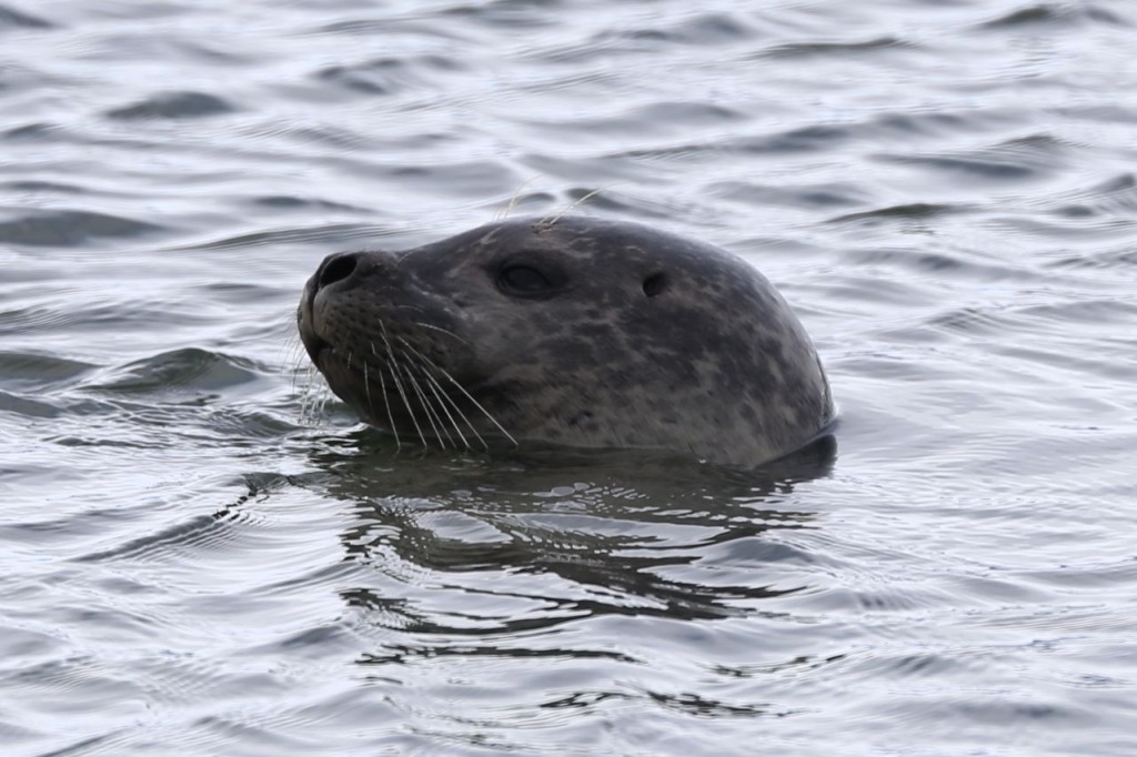
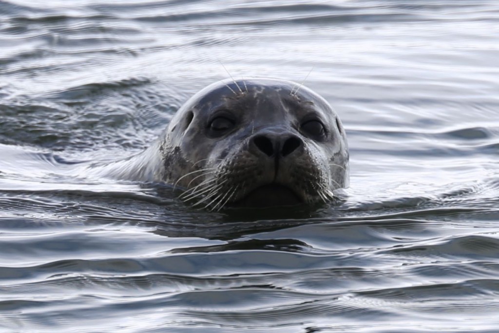
Day 6 in Iceland, we traveled from the south to the east via the Ring Road. We made the obligatory stop at Jökulsárlón, the Glacier Lagoon. It is a major tourist attraction for good reason. It is beautiful. The lagoon is at the end of Breiðamerkurjökull glacier, and the glacier breaks off pieces to form icebergs in the lagoon. Icebergs just slowly float through the lagoon before entering the sea. Many types of birds can be found in the lagoon, as well as seals. We spotted at least 15 seals playing in the water, and I managed to get a few photos of some of them.
Svartifoss
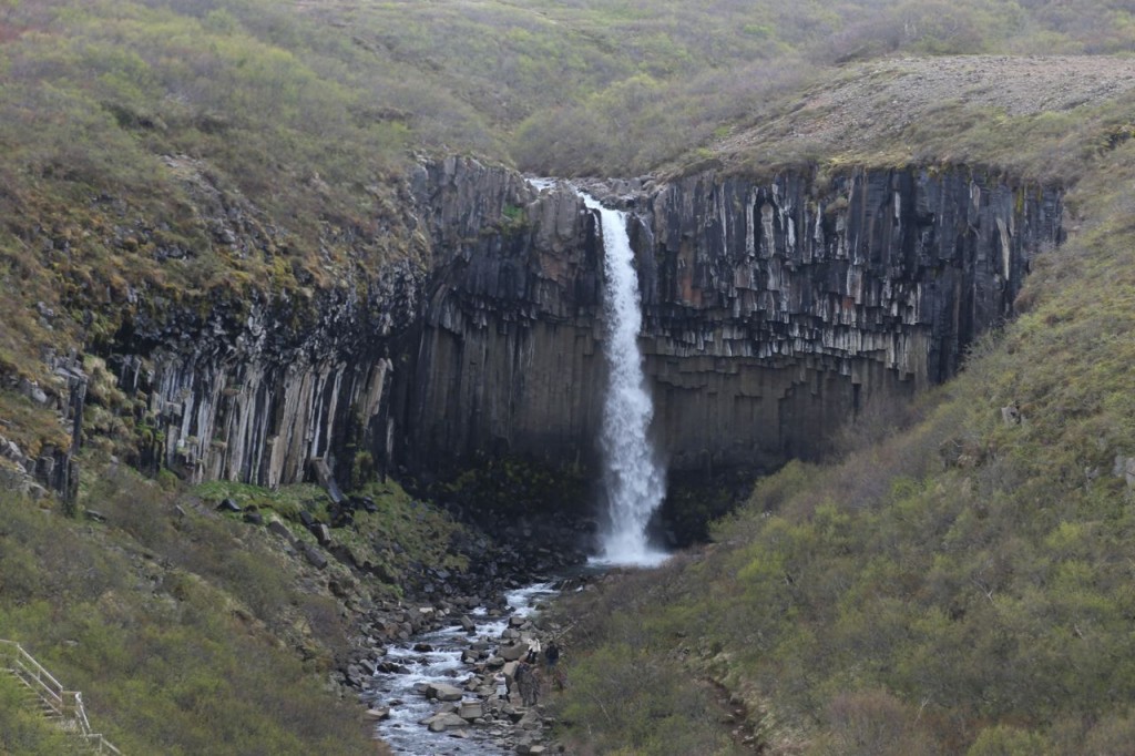
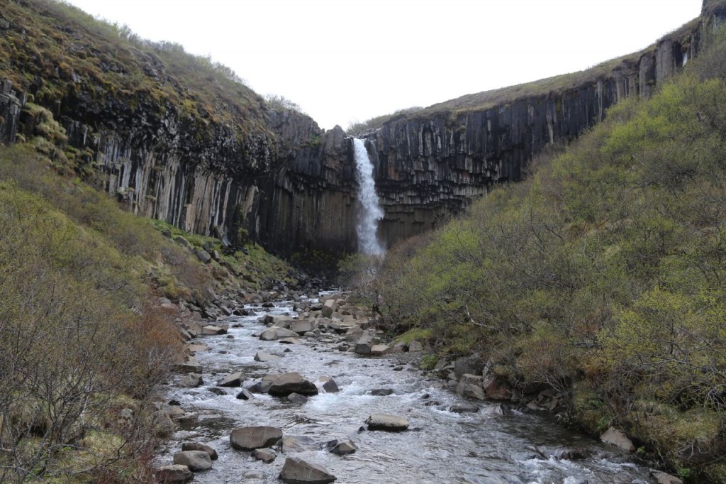
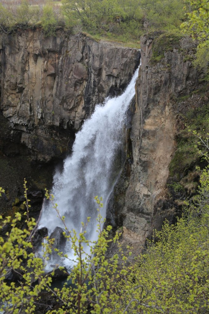
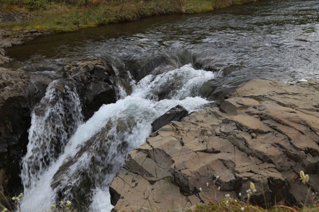
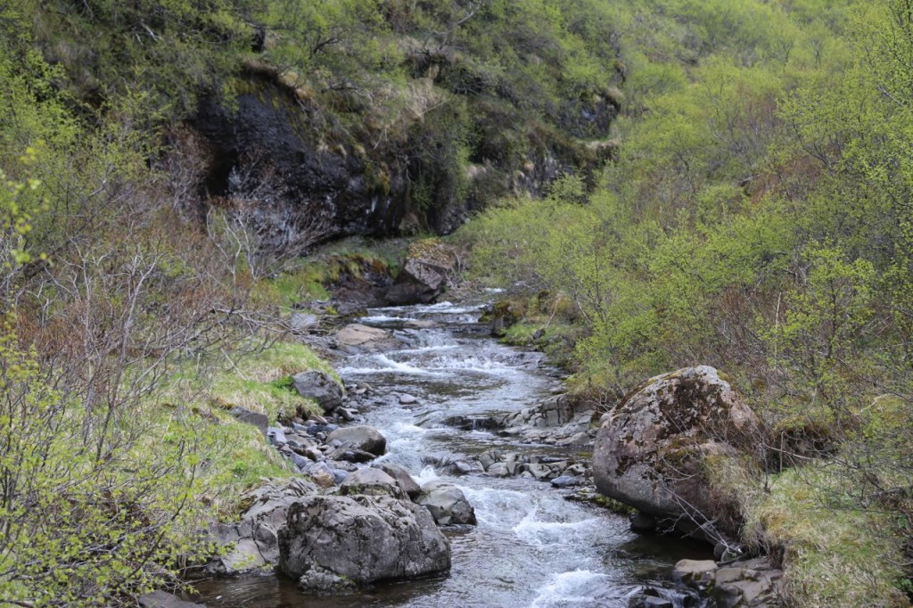
Day 5 in Iceland, after hiking up a glacier, we decided we needed more hiking, so we hiked to Svartifoss, yet another waterfall in Iceland. Svartifoss is particularly neat because it flows over basalt columns. Also there are of course more waterfalls on the way to Svartifoss, including Hundefoss.
Hiking a Glacier
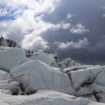
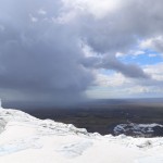
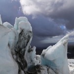
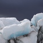
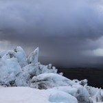
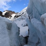
Day 5 in Iceland started with us taking an amazing hike up a glacier. We went on a tour with Glacier Guides (our guide Robin was great!), who gave us crampons, ice axes, helmets, and safety harnesses (in case we fell down a crevasse!?), and then we hiked up a glacier. I still can’t believe I hiked up a glacier. Part of the reason I can’t believe I hiked up a glacier is because I have known issues with gravity, especially when frozen water is involved. The amazing part was, that with crampons on, walking on ice was much easier than walking on snow. Anyway, we hiked up Falljökull which is located in the Skaftafell area of Vatnajökull National Park. We completely lucked out with the weather. A storm passed to the south of us, which made for some absolutely amazing photographs, but we didn’t get any precipitation. I am not one to brag about my photography, but I got some amazing photographs. I can’t really credit my skills though because with the scenery I had, I could not shoot a bad photograph. The glacier was white with amazing blues, and the sky was gray then white then blue, ever changing with the storm.
- view of glacier pools
- Melt stream on Falljökull
- Melt stream
- Melt stream
- Glacier top
- Crevasse
- Glacier top
- View from the top
- Glacier top
- Glacier top
- View from the Falljökull glacier
- Glacier top
- Hidden pool on Falljökull
- Glacier top
- Pool
- Ice cave
- Ice cave
- Glacier top
- Falljökull’s top
- Glacier top
- Water pool
- Ice cave
- Glacier top
- Glacier top
- Glacier top
- Top the Falljökull glacier
- Crevasse
- Glacier top
- Glacier top
- Glacier top
- base of glacier
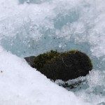
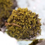
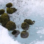
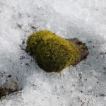
- Glacier Mice
- Glacier Mice
- Glacier Mice
- Glacier Mice
- Glacier Mice on Falljökull
- Glacier Mice

