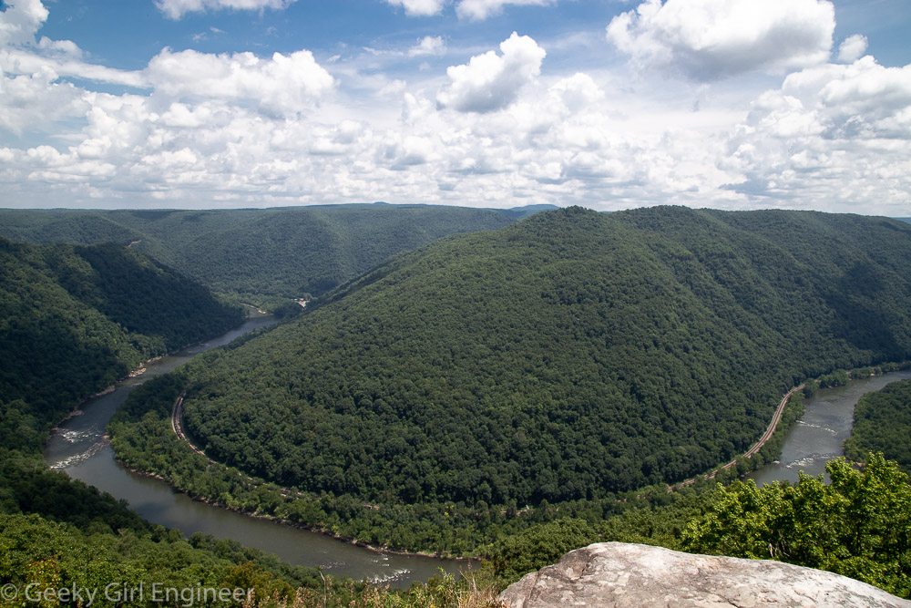
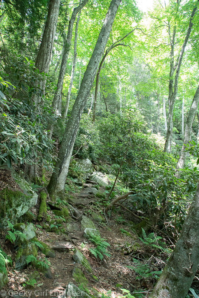
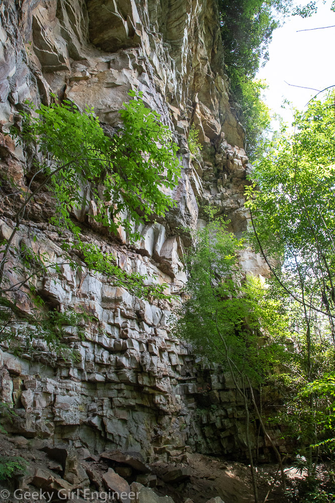
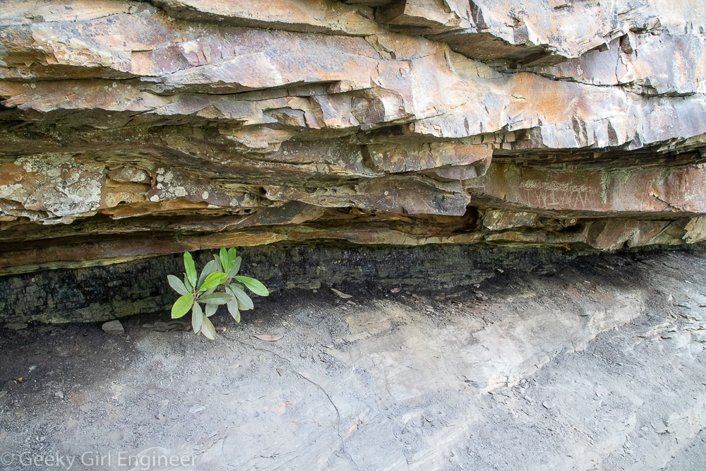
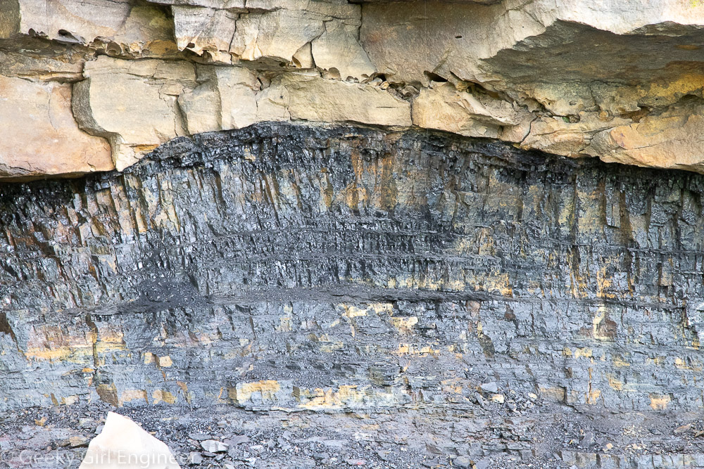
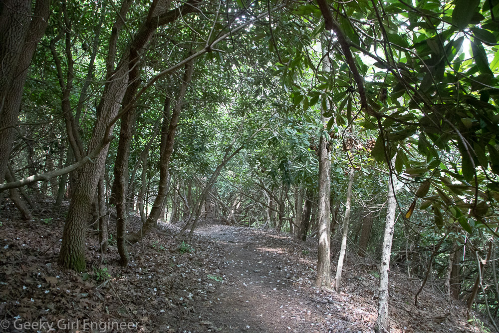
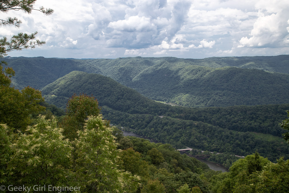
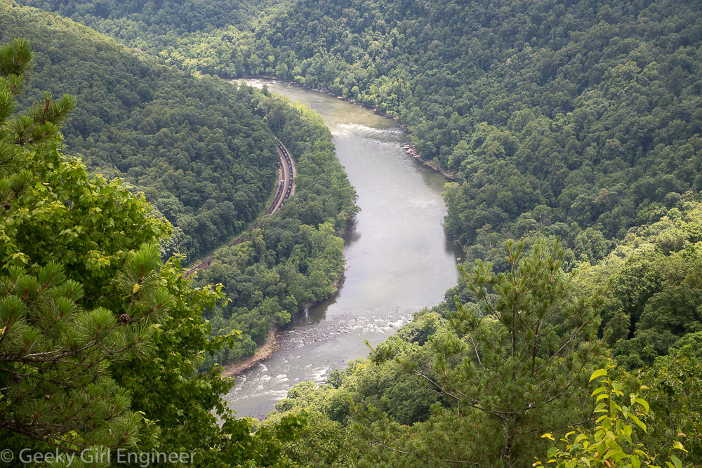
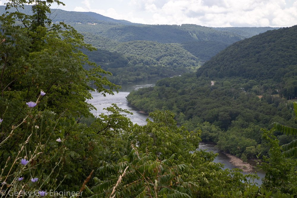
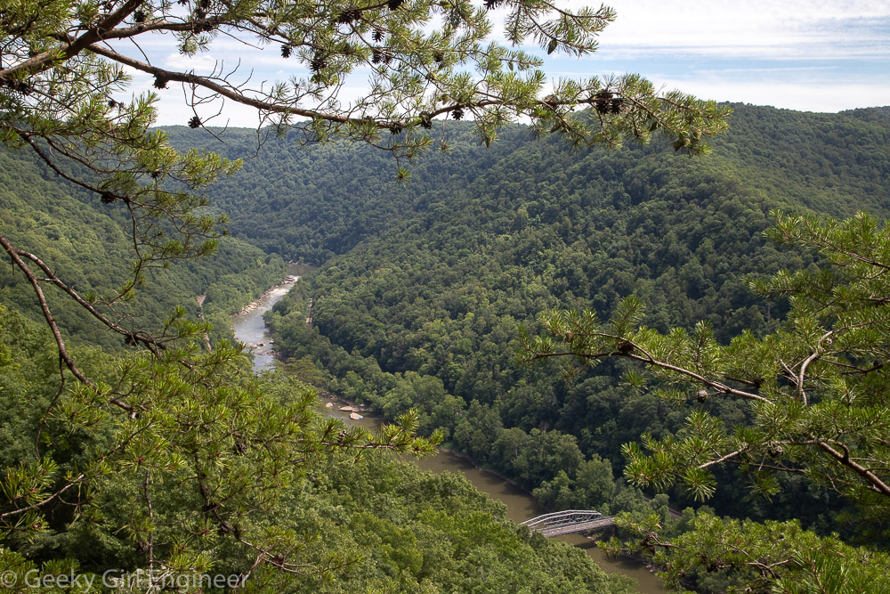
Yesterday I went quite the hike within New River Gorge National park, and it was more of a hike that I thought it would be. I went to the Grandview area, and I hiked along the Grandview Rim trail. The trail is one way, so for the leg of the hike walking towards Turkey Spur, the end of the trail, I took the Castle Rock trail, which parallels the Rim trail for the first half mile. Castle Rock trail is gorgeous, and it takes you just below a wall of rock. At one portion of the trail, the wall of rock has a visible coal seam, which is extra interesting. However the footing on the Castle Rock trail is not even, and there is lots of ascents and descents, so it is a good workout. The rest of the trail, once back on the Rim trail is fairly easy going, especially compared to the Castle Rock trail. The start of the trail is the main overlook, which overlooks a bend in the New River, so you are viewing it from the base of a U shape. The end of the trail is Turkey Spur, which also overlooks the river, but at a location where in the foreground you see the river headed to the west, where it curves, then behind a hill, you can see the river looping around again and headed east.
Tag Archives: New River Gorge National Park
Sandstone Falls
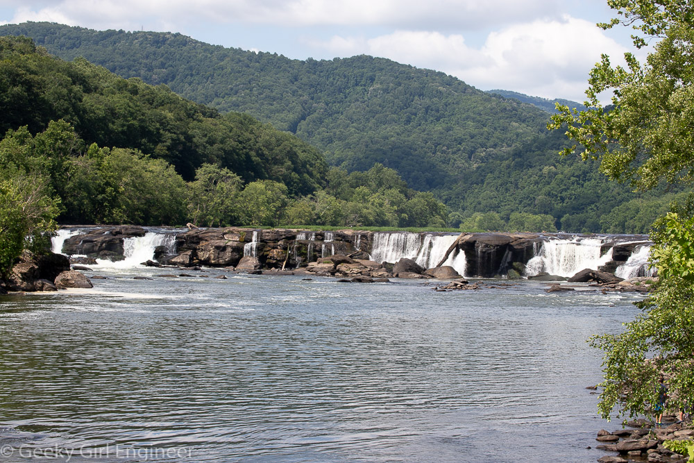
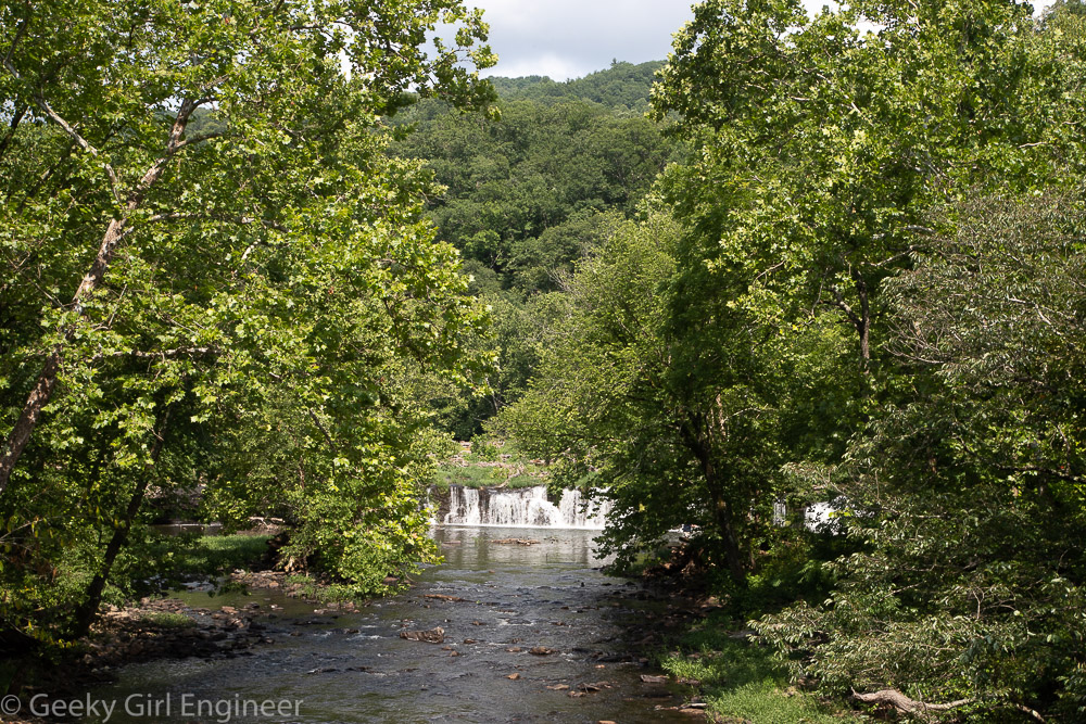
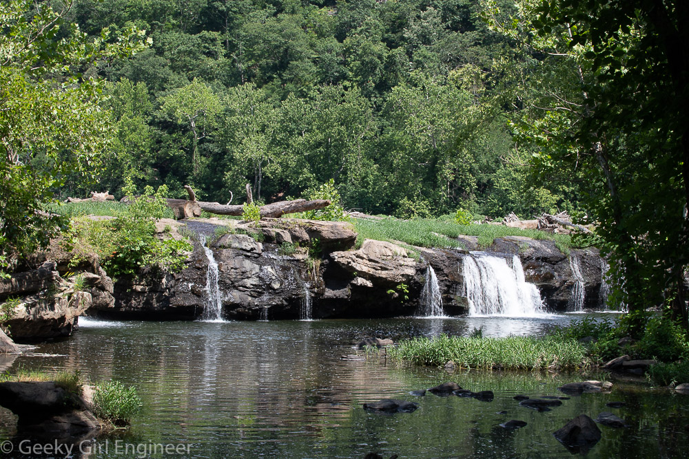
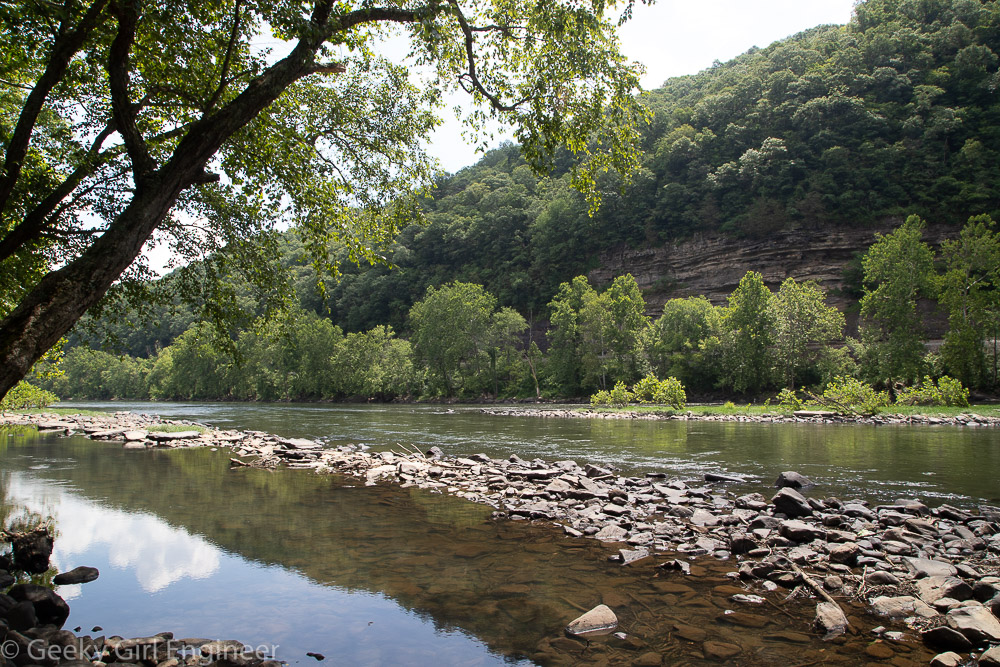
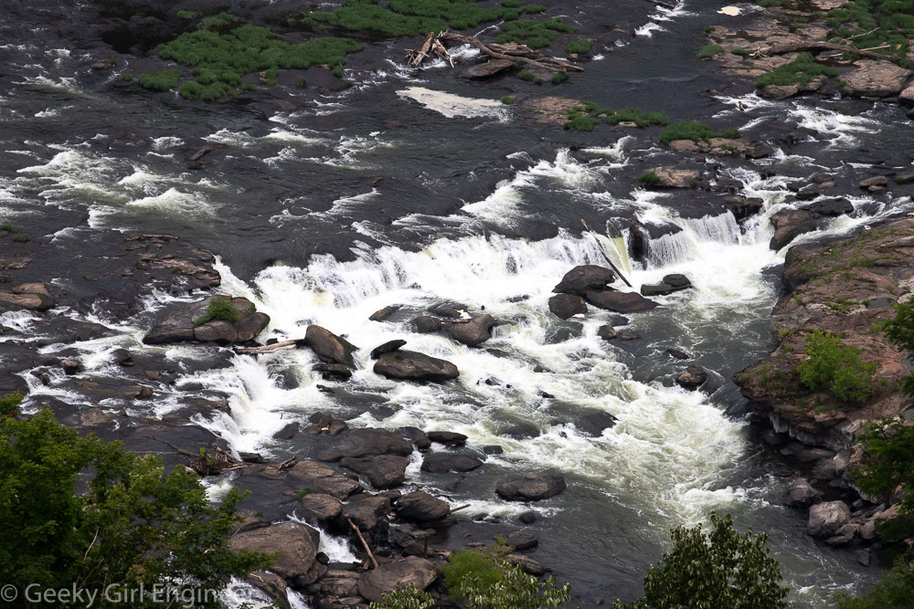
I left West Virginia today, but before leaving, I stopped at Sandstone Falls in New River Gorge National Park to do a little hiking. I also drove to a couple of overlooks of New River and Sandstone Falls.
New River Gorge National Park
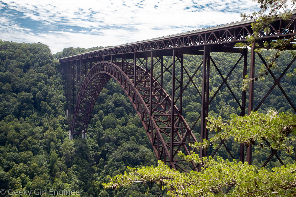
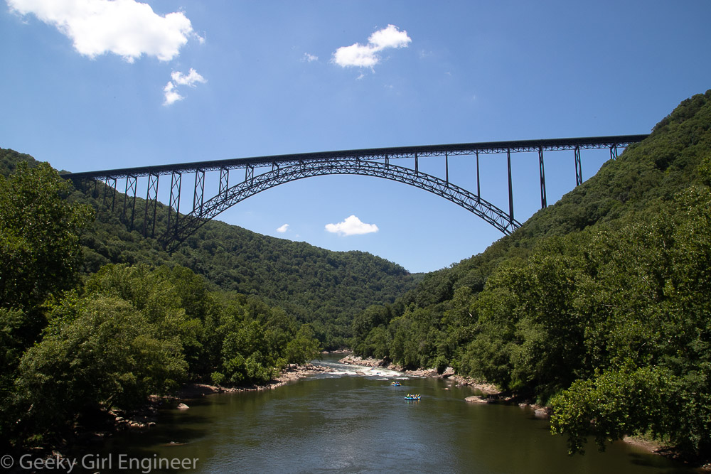
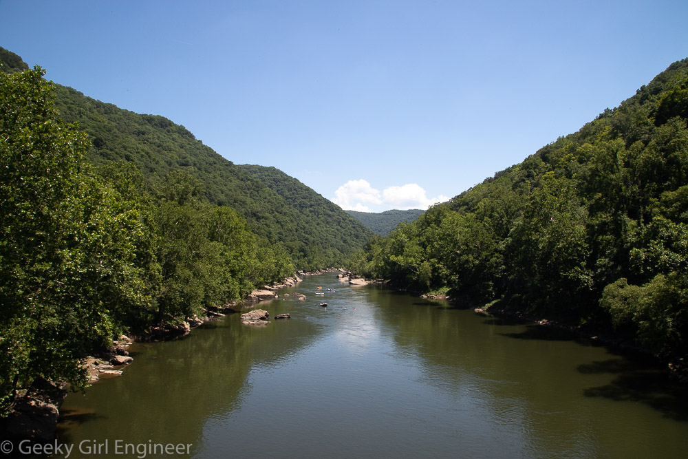
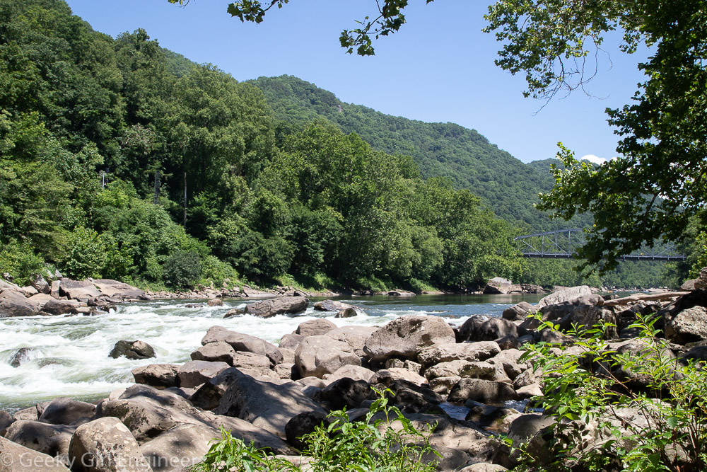
I have been sightseeing and hiking in New River Gorge National Park and surrounding area for several days now. I will be posting the photos in a few different posts. I have taken quite a few photos in the area around the New River Gorge Bridge, so those are what I am posting now.
Bridge Walk
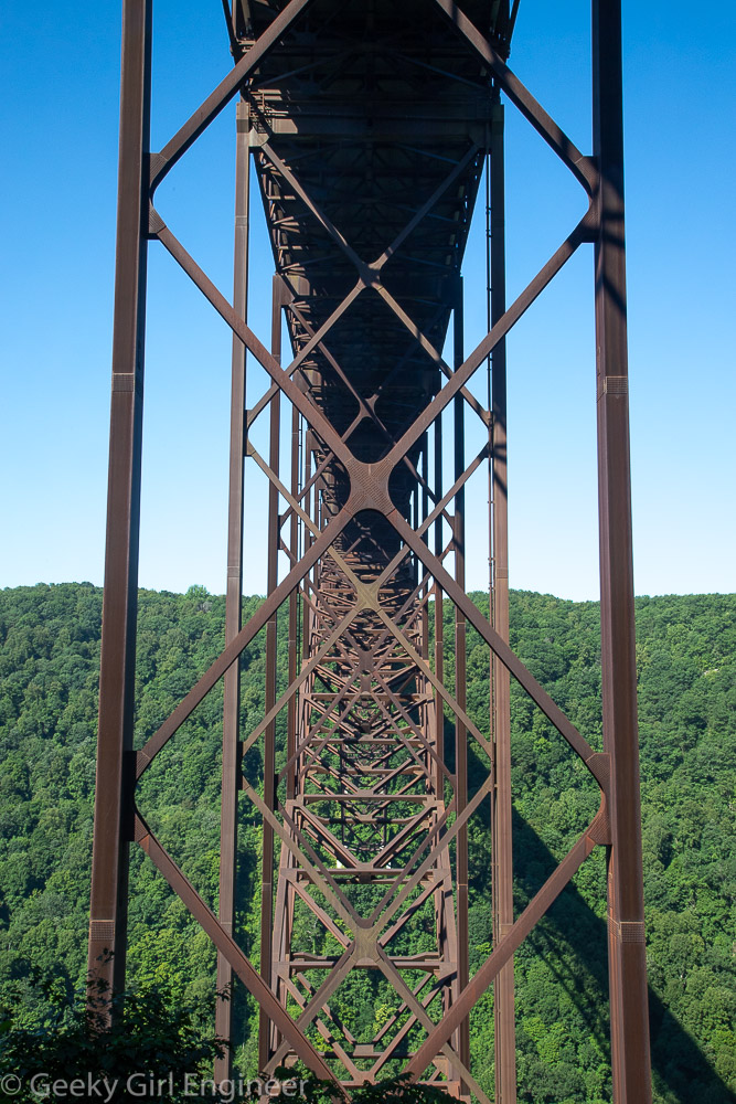
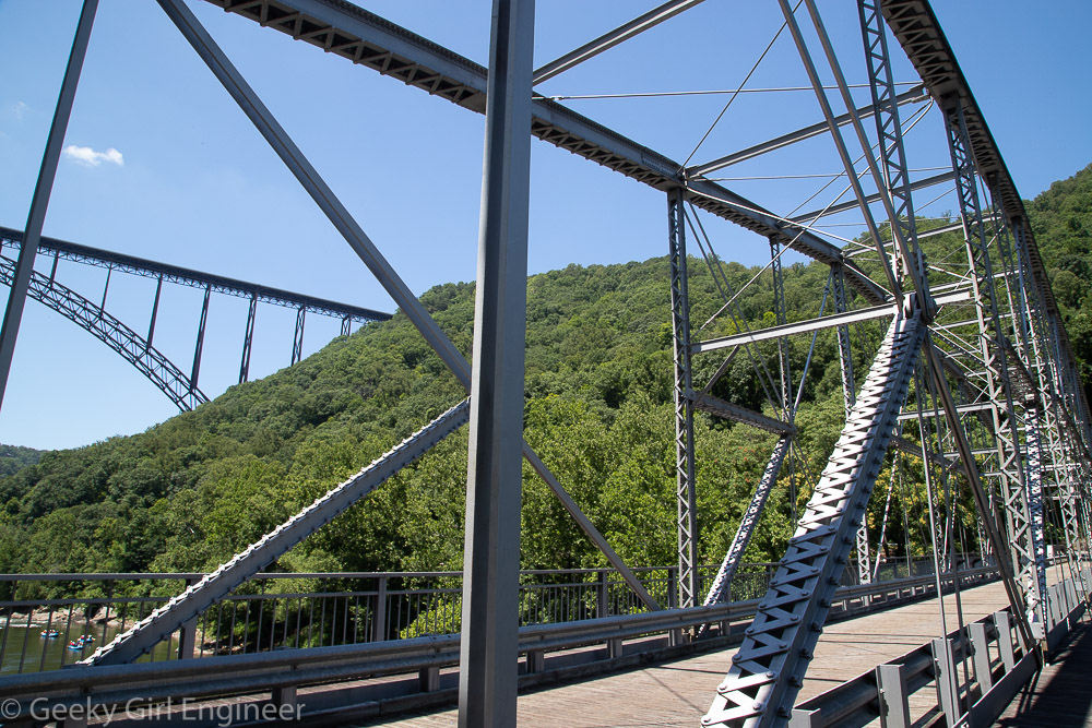
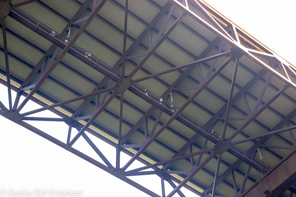
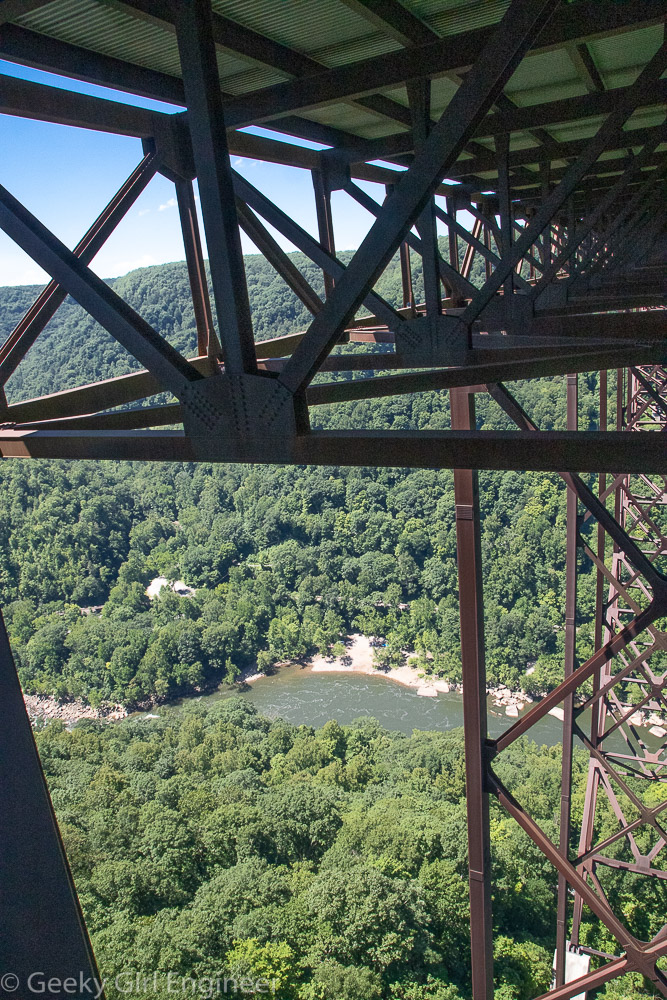
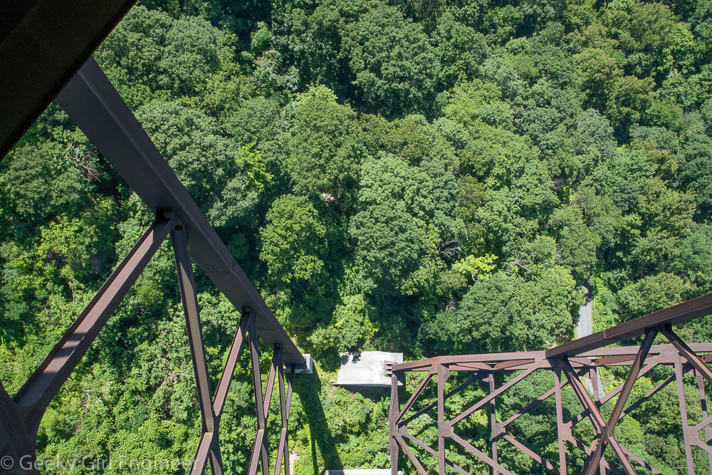
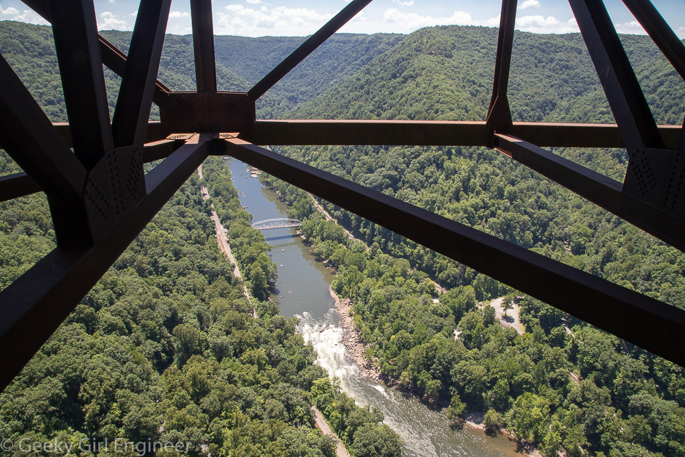
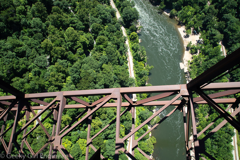
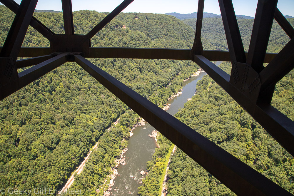
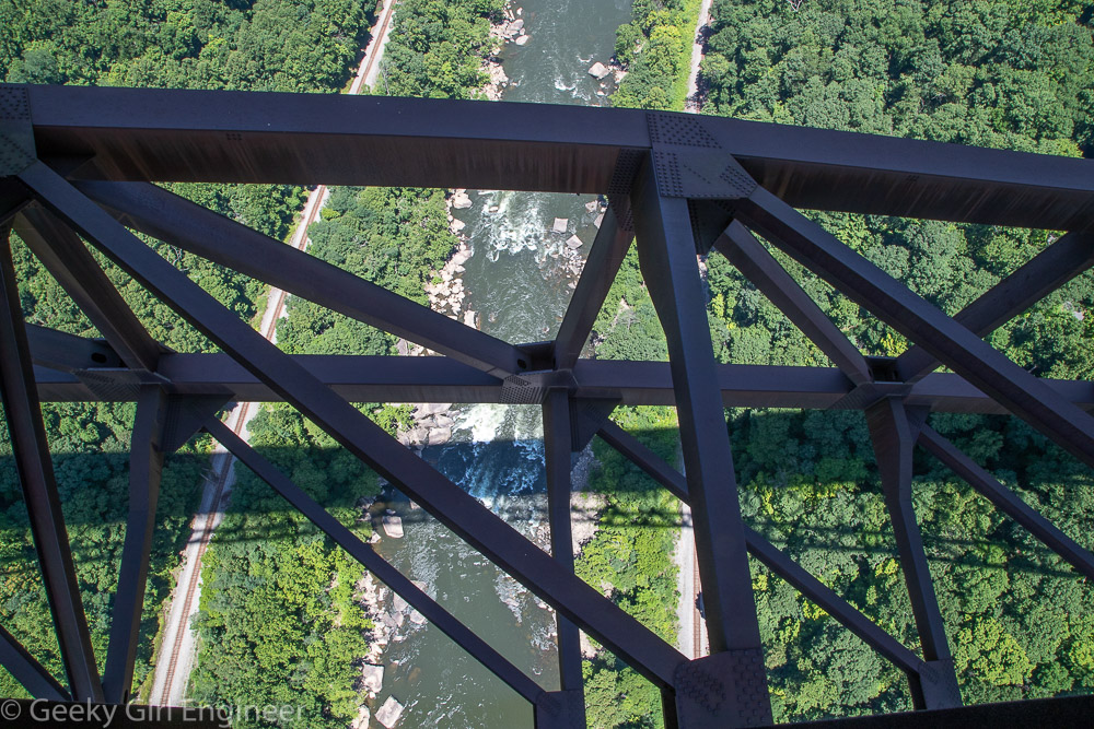
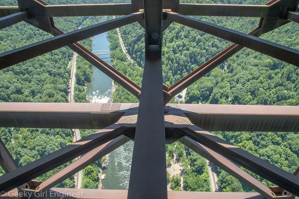
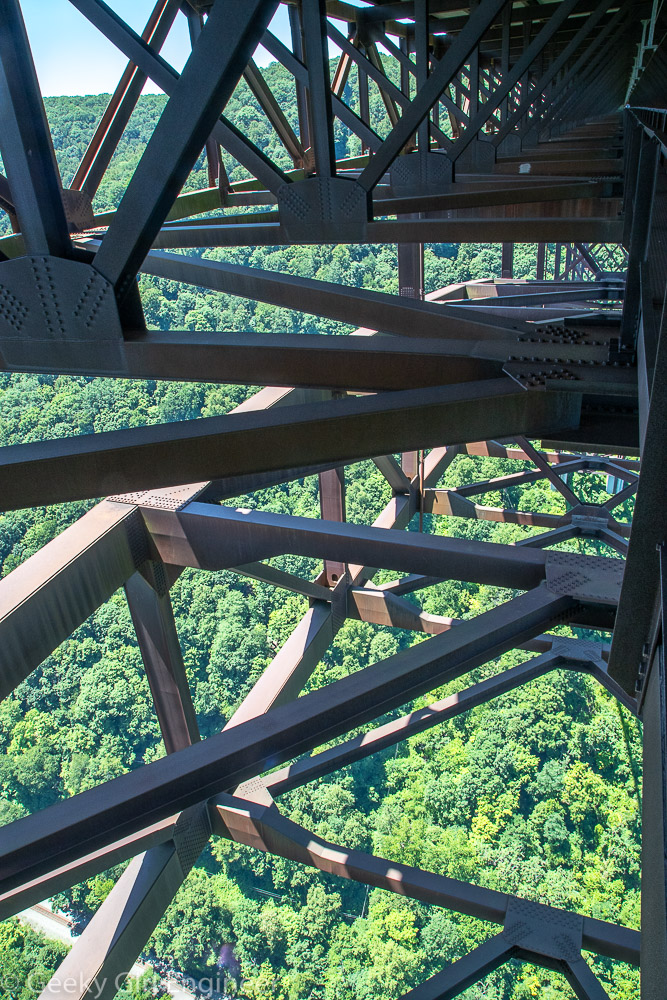
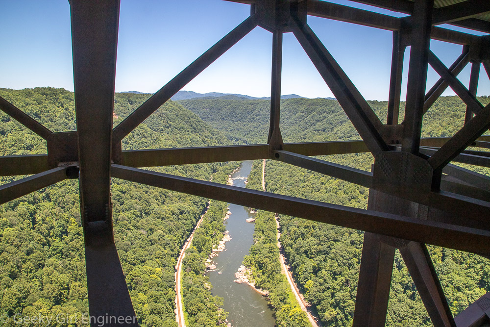
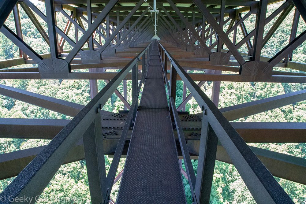
I spent today doing more exploring of New River Gorge National Park, but I started the day by walking across a bridge. The walk across the bridge was under the road deck, which is not something a person normally gets to do. Bridge Walk lets you do just that. The New River Gorge Bridge is beautiful with a wonderful design, and walking under the bridge allowed me better appreciate and to take photos of the structure. Walking on the catwalk also allows for photos of the stunning scenery. It was a nice, leisurely walk that just happens to be, at the highest point, 876 feet above the ground, by walking on a two feet wide catwalk while attached the longest continuous safety line in the world.
Nuttallburg
I started exploring New River Gorge National Park today. It is second on my list of things to see in West Virginia after the capitol. The park is really spread out, and there are lots of areas to explore. I did some hiking in the Nuttallburg area today because it features the remains of a coal mining operation, and I love ruins. I hiked from the top to the headhouse. I was originally going to hike down along the trail that somewhat follows the conveyor, but I met some people at the headhouse, who had just hiked up the that trail, and they said do not do it. It is a really difficult trail, and while the park material said as much, somehow their exhausted faces persuaded me more. I then drove to area near the river where the lower part of the mining operation was and hiked around there a little. The area trails are really neat because you can essentially follow the mining operation from the mine entrance to where the coal would have been loaded onto trains.
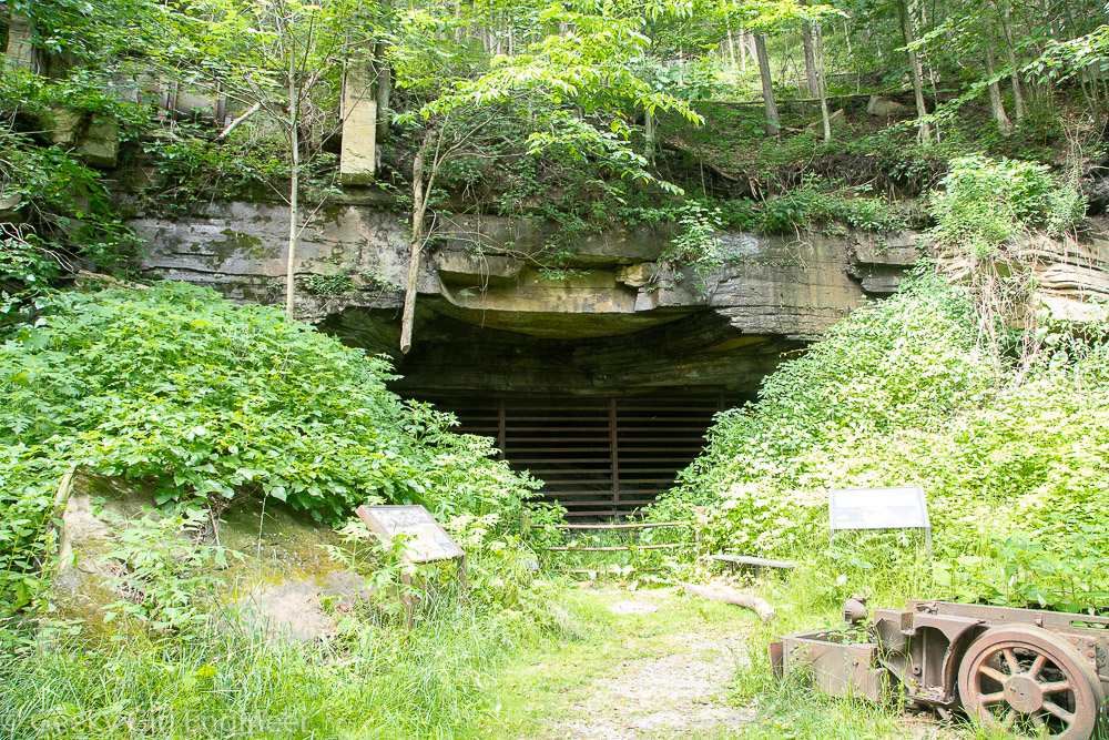
While the mining operation started in the mine, obviously, the first part you can see is the mine entrance. As I stood in front of the mine, I could feel the air coming out was probably 10 or 20 degrees colder.
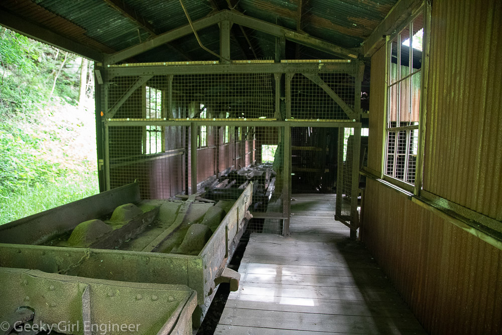
The coal cars then went to the headhouse where the coal was dumped and loaded onto the conveyor, which brought the coal all the way down the slope to be transferred to trains.
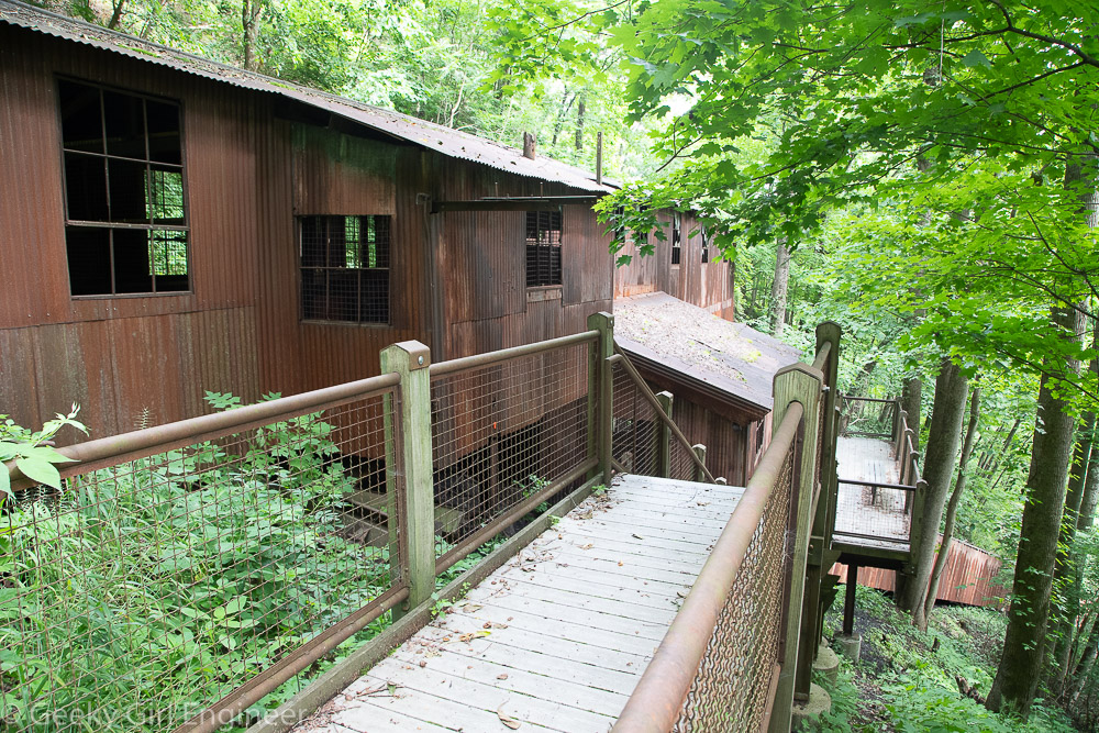
Headhouse where coal was dumped out of the cars from the mine and onto the conveyor. In the lower right, you can see the start of the conveyor.
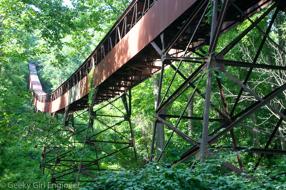
The conveyor was essentially a really long conveyor belt, and it was kind of awesome to stand beneath it.
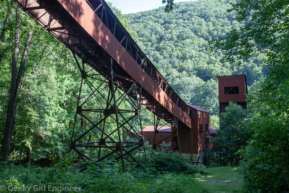
The conveyor ended at the tipple. The tall structure seen on the right was a storage silo for the coal.
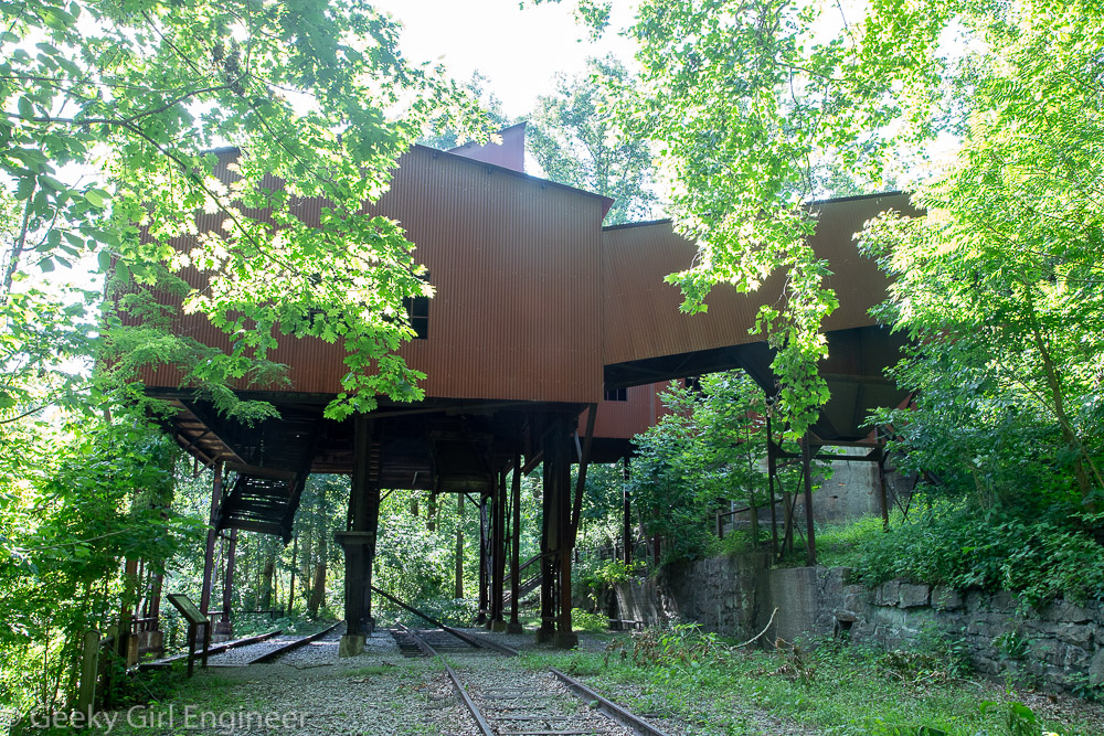
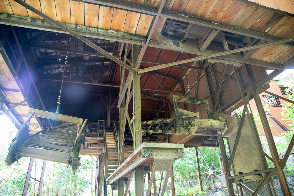
The tipple sat on top of train tracks, and the coal was transferred to the trains there.
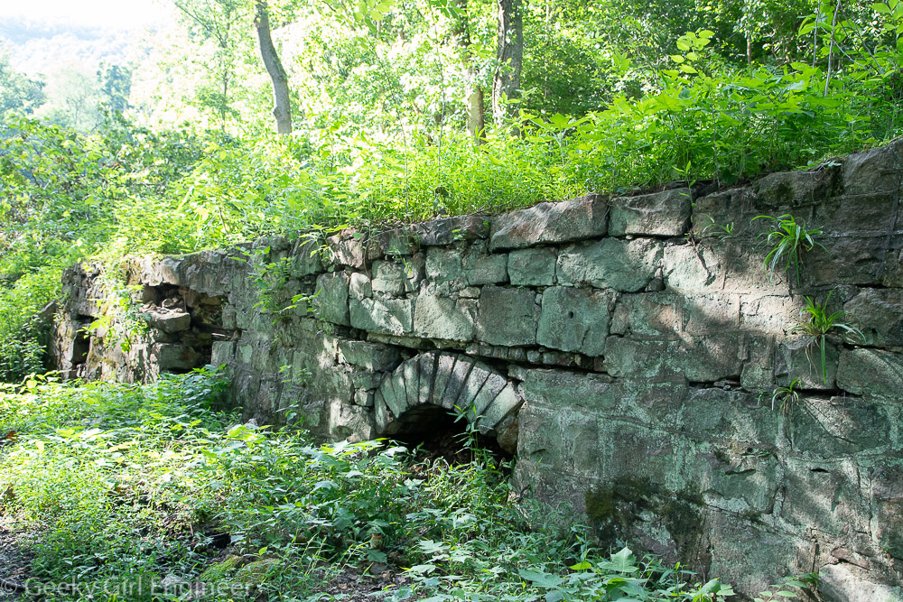
There are also some remains of coke ovens. These are considered to be the earliest remains of coal operations. Originally the coal converted to coke there.

