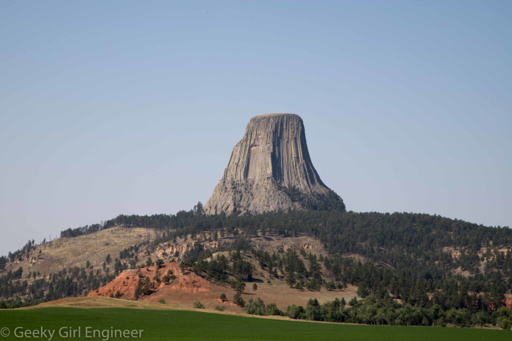
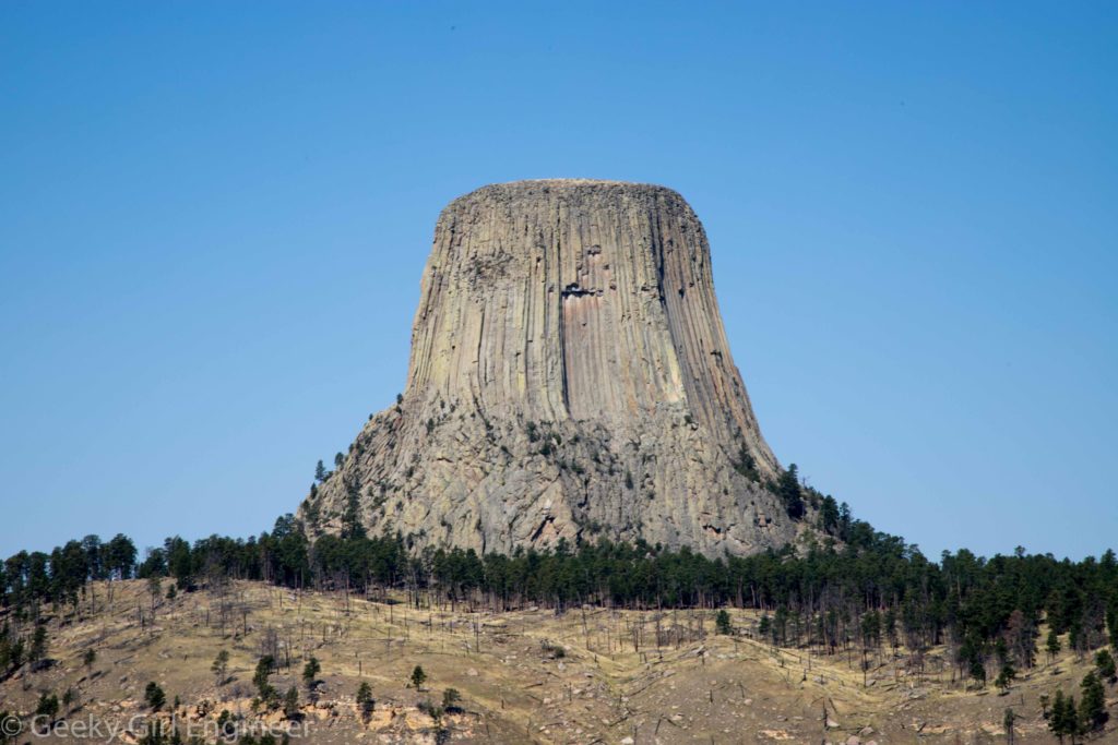
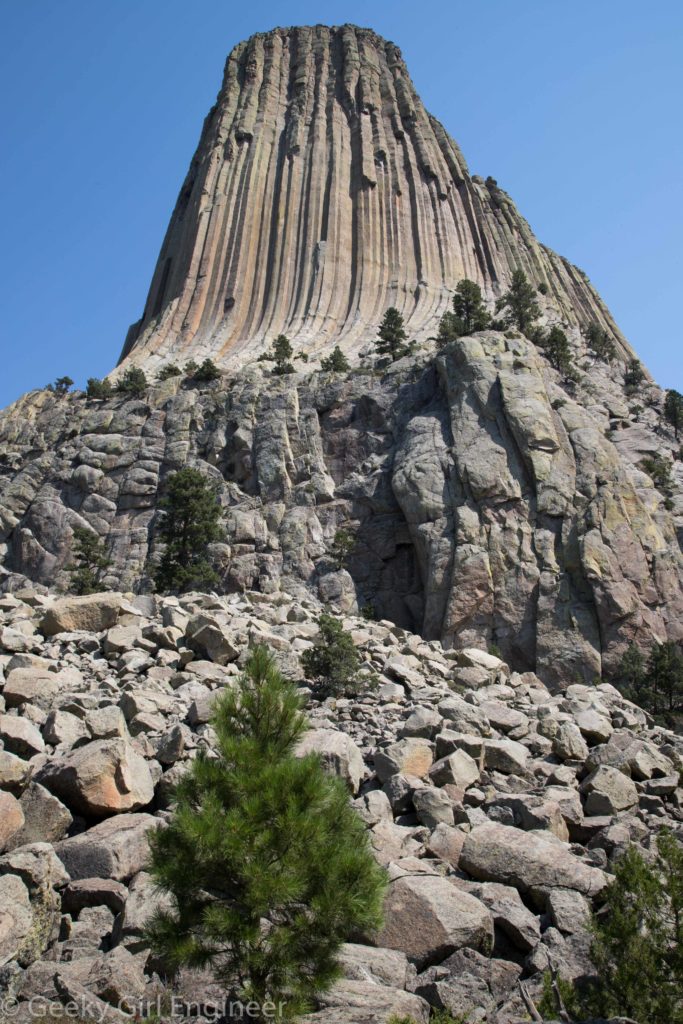
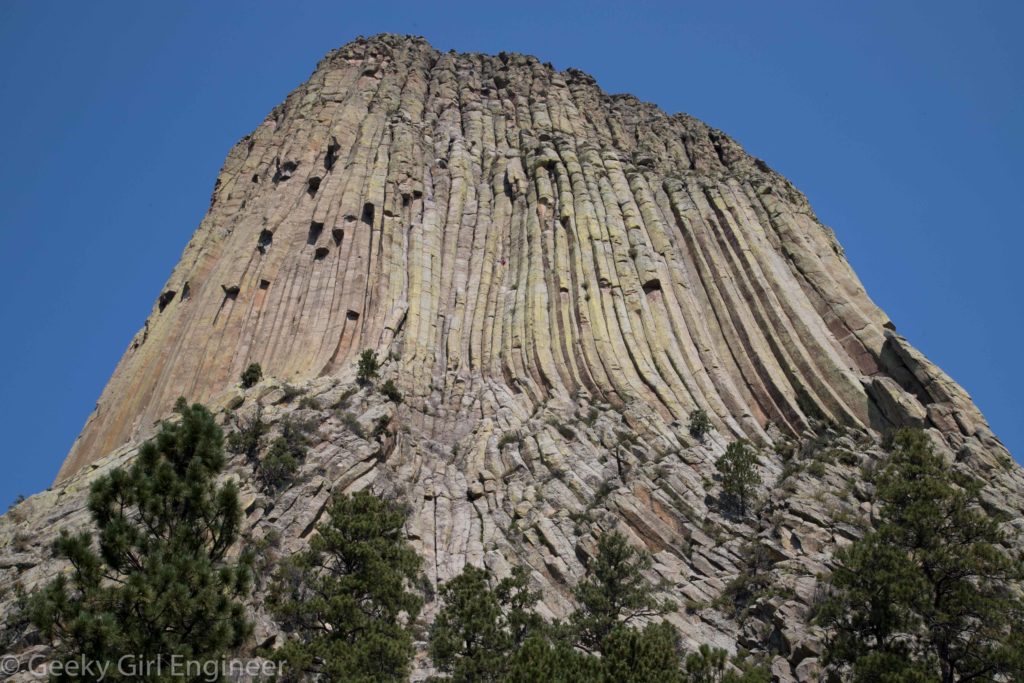
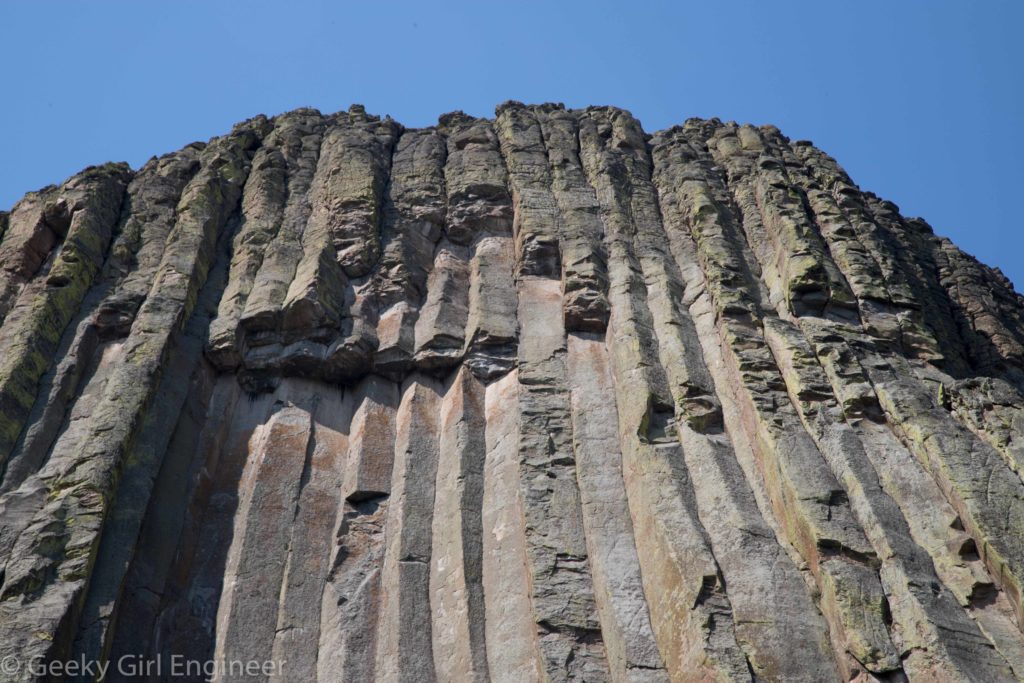
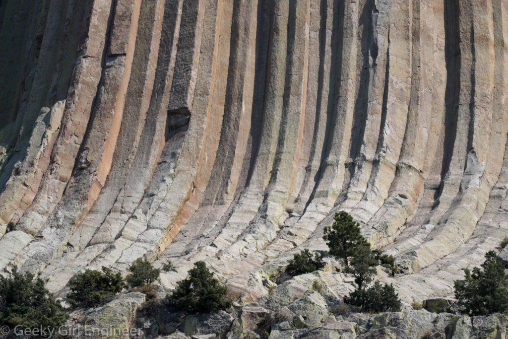
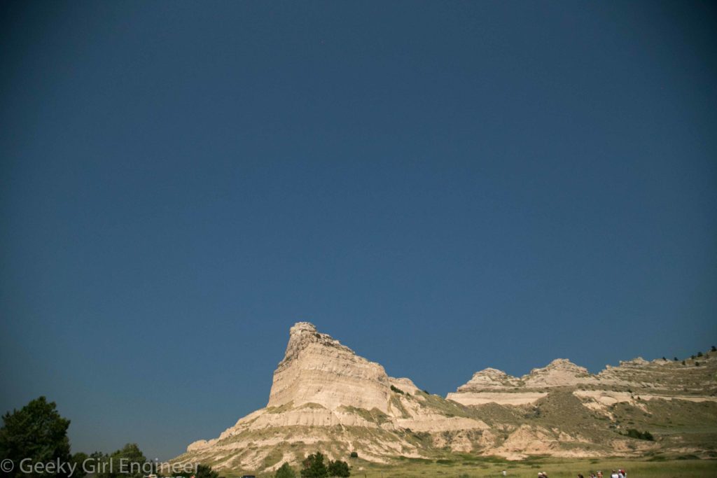
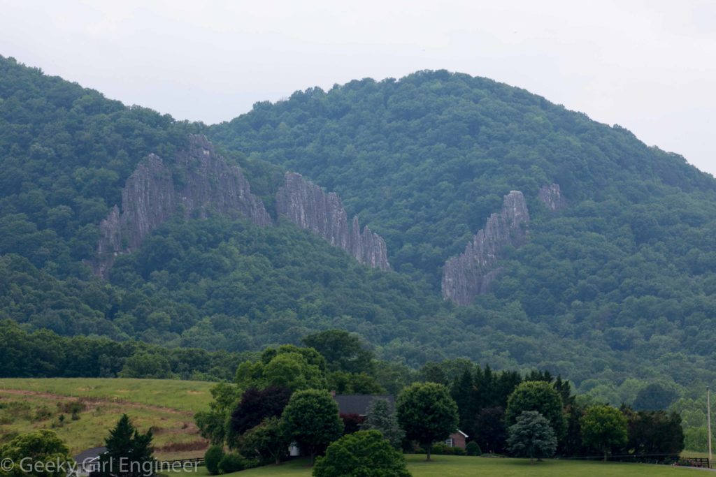
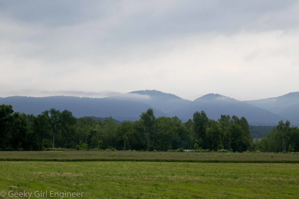
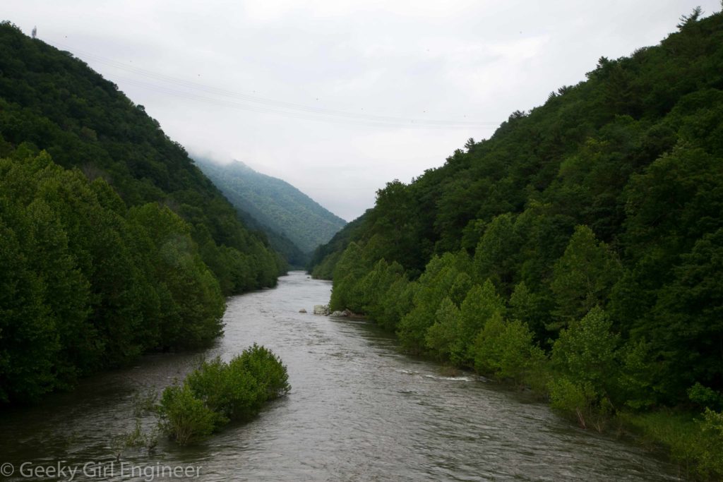
For my trip out west, I wanted to visit many sites that were kind of in the middle of nowhere. Devil’s Tower fits in that category. I don’t think photos can do it justice. As I was driving to it, the road I was on curved, and then Devil’s Tower just appeared. That is what is so amazing about it. The area around it is pretty rolling countryside with some of the black hills, but then this columnar rock tower just appears. The trail to walk around it is a little over a mile, and even while walking that trail, I still was amazed by its size and how much it stuck out of the surrounding countryside. There are exhibits on the trail that give good visuals to describe how it formed. Still I find it awesome.
Tag Archives: Nature
Badlands National Park
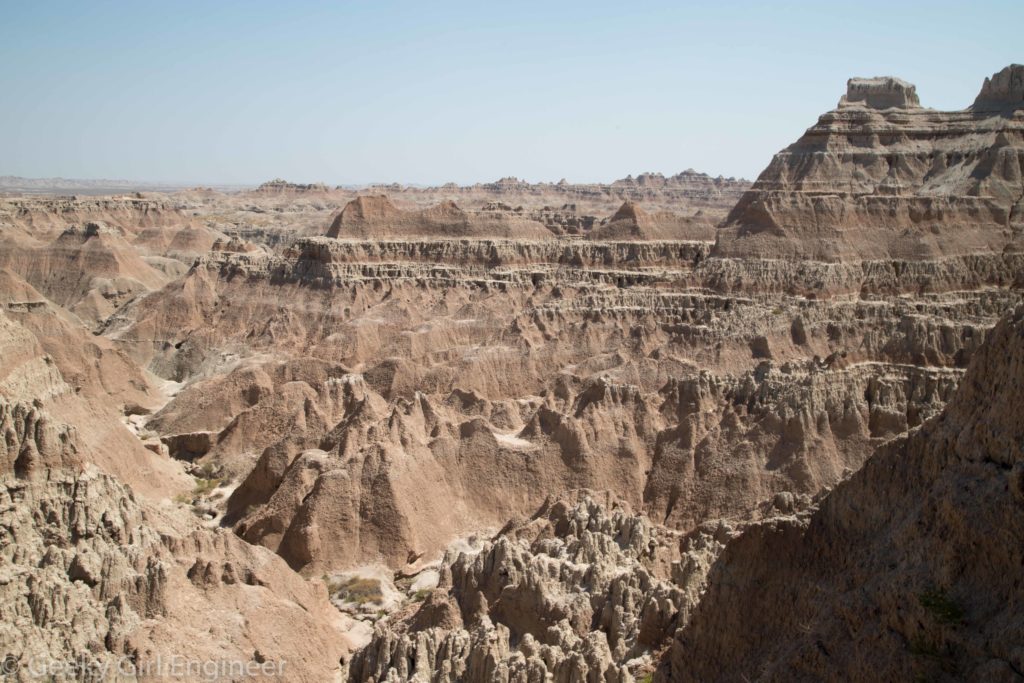
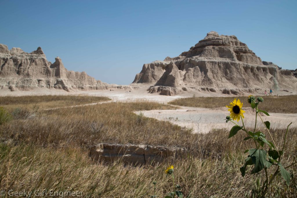
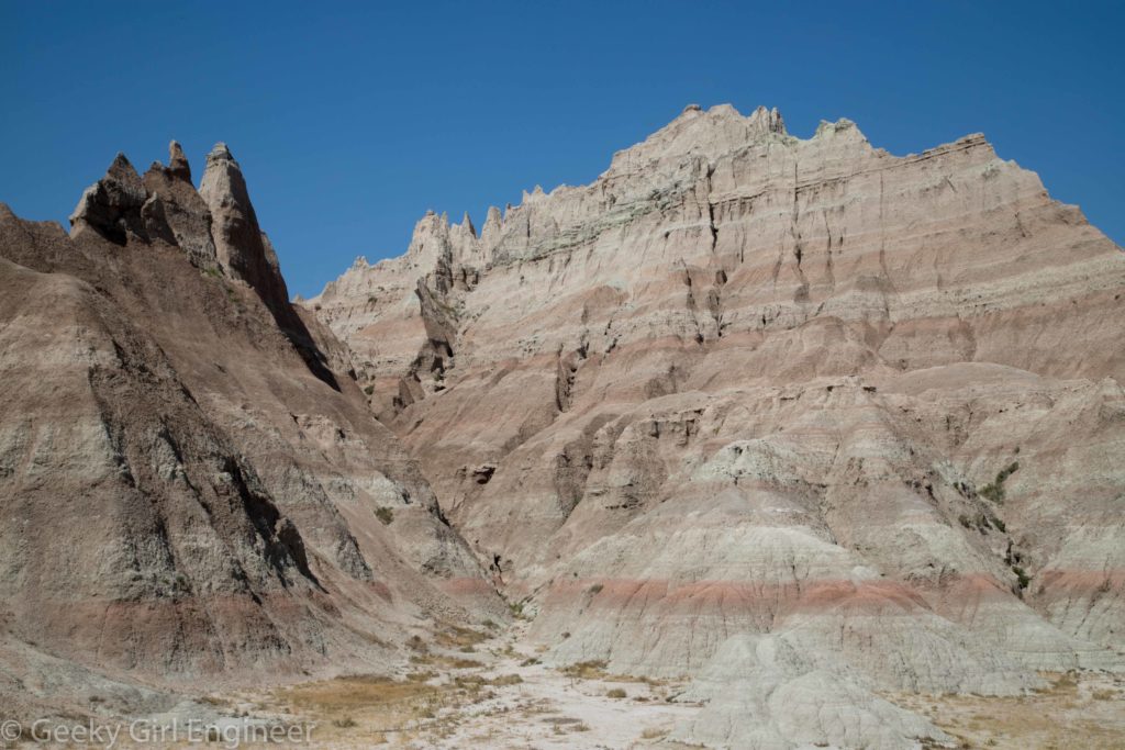
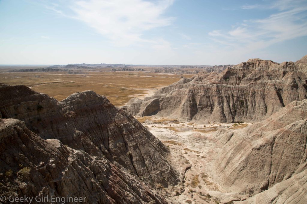
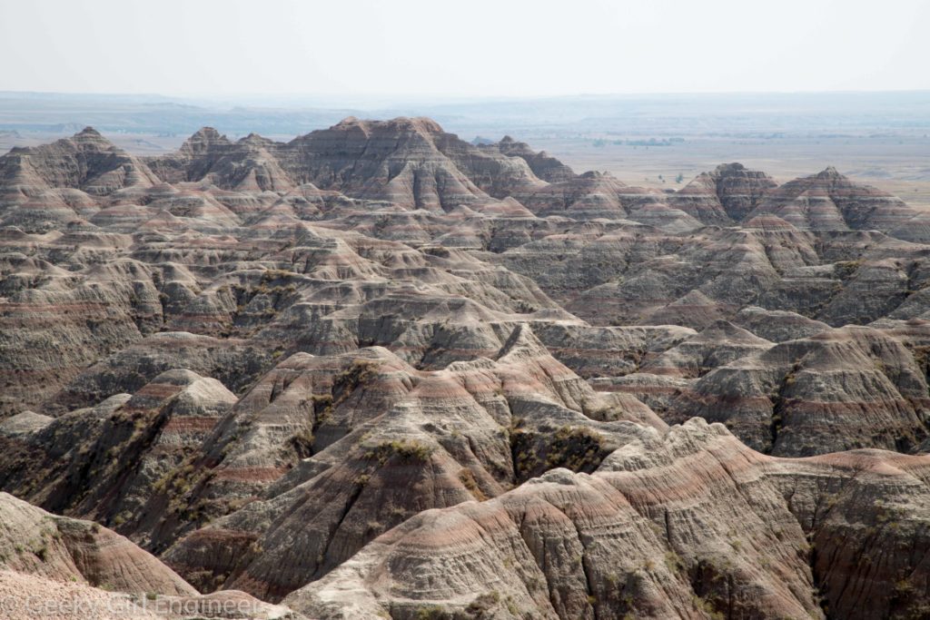
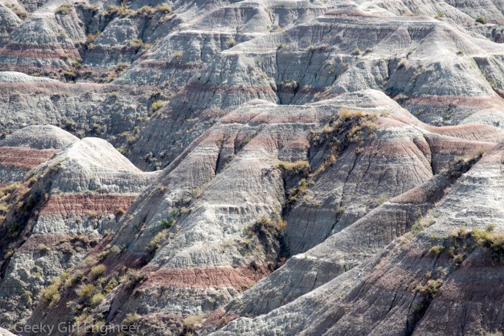
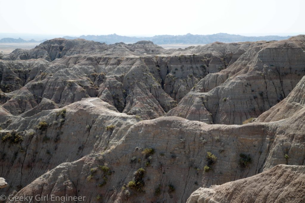
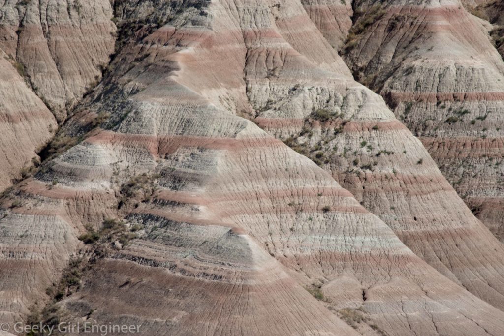
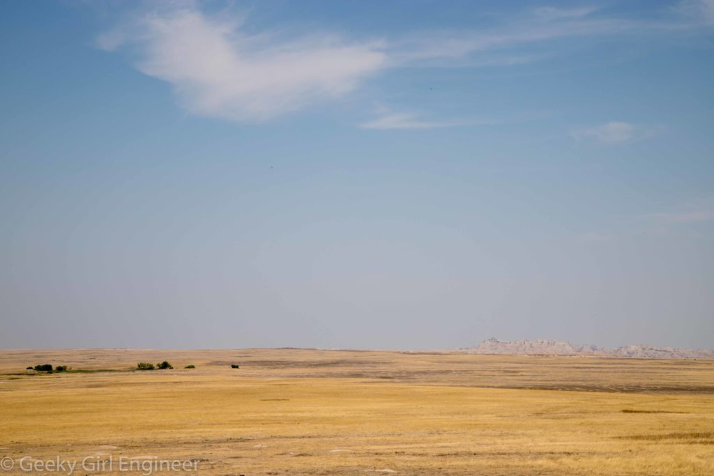
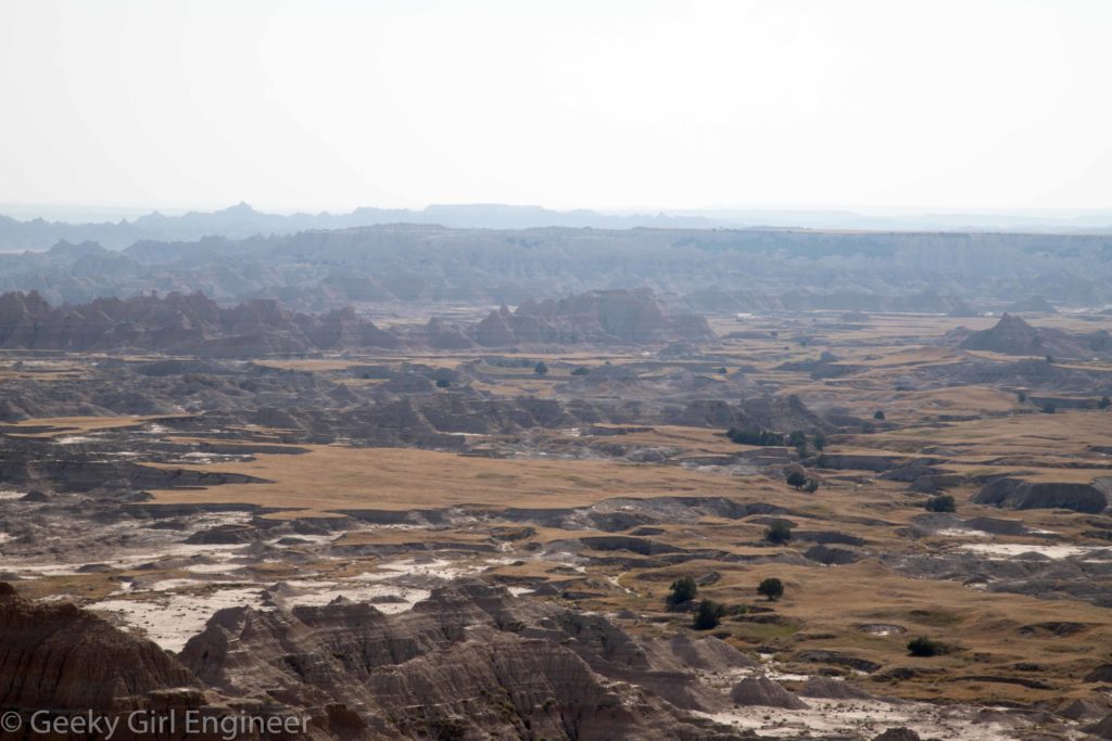
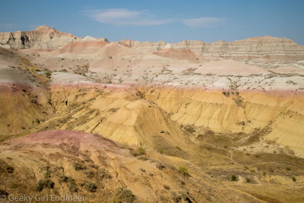
After visiting Minuteman Missile National Historic Site, I then drove on to Badlands National Park, which is right across the freeway. Badlands is just gorgeous. The formations are dramatic. In many places you can clearly see the different sedimentation layers, including different coloring of the layers. The different coloring layers adds to the drama and beauty of the landscape. When I was there, it was a clear blue sky, which contrasted with the landscape coloring. It was fun to photograph. There were no bad angles, only trying to figure out the best way to capture the beauty, even though no photograph can.
Toadstool Geological Park
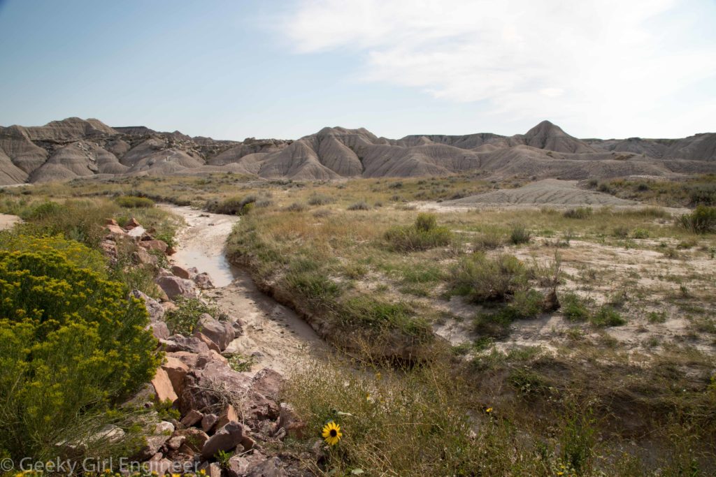
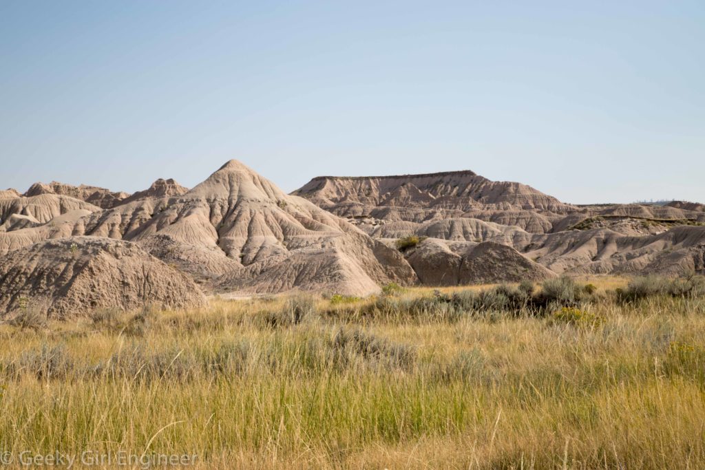
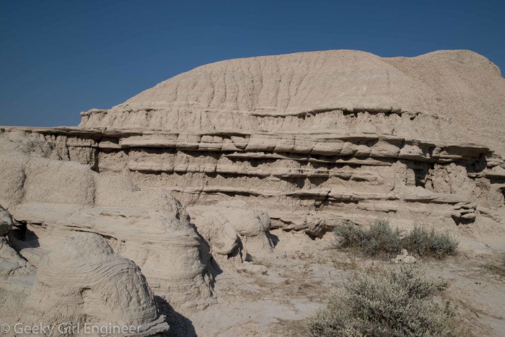
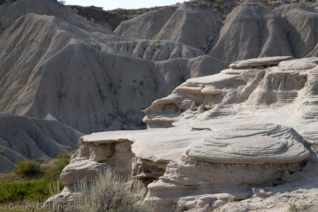
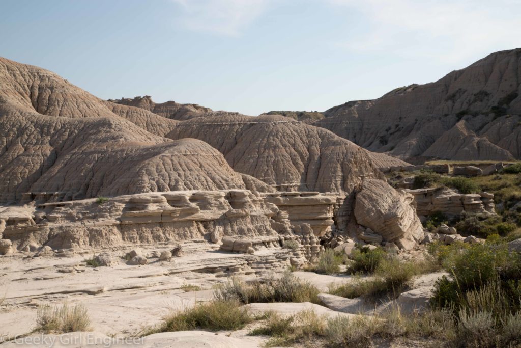
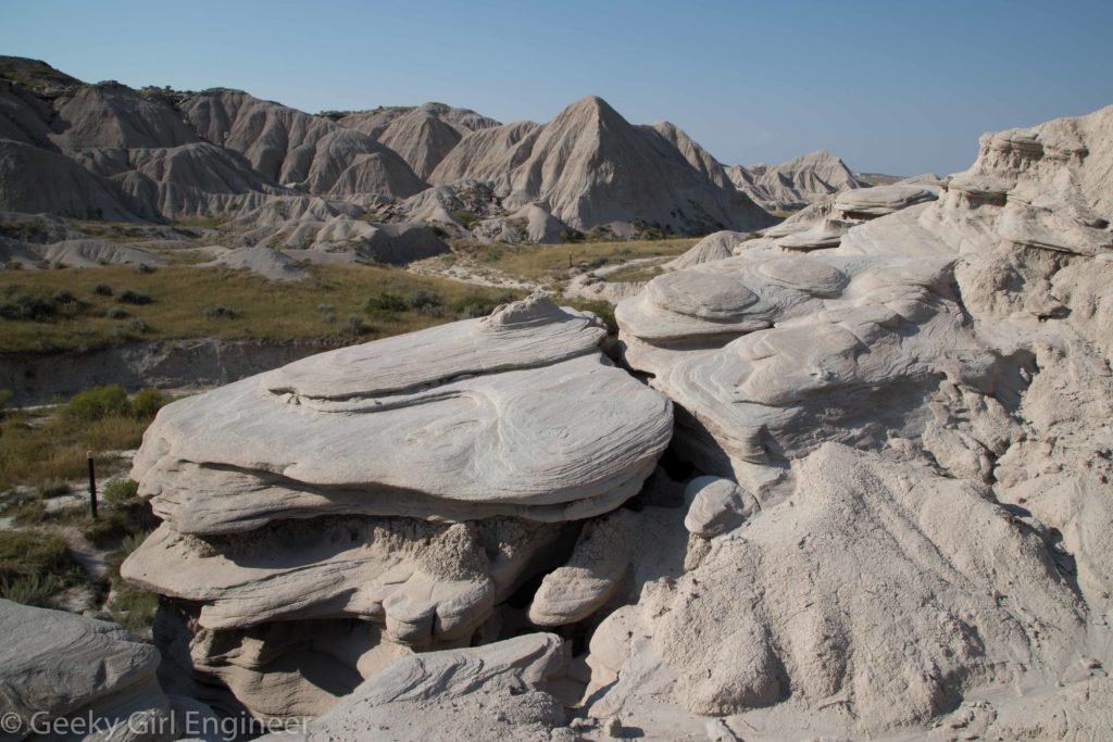
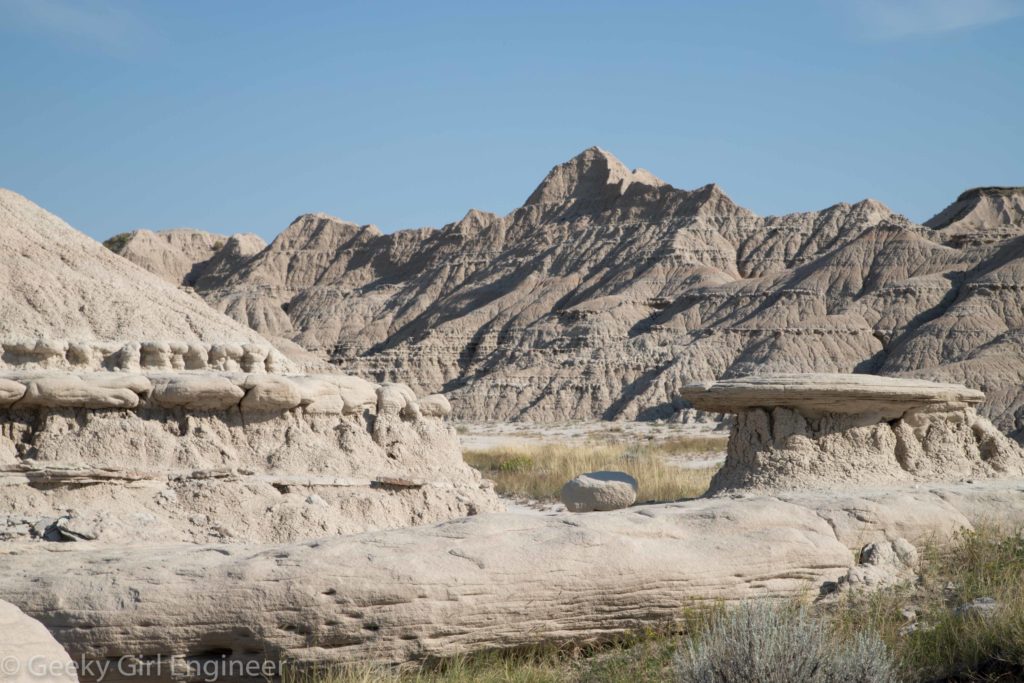
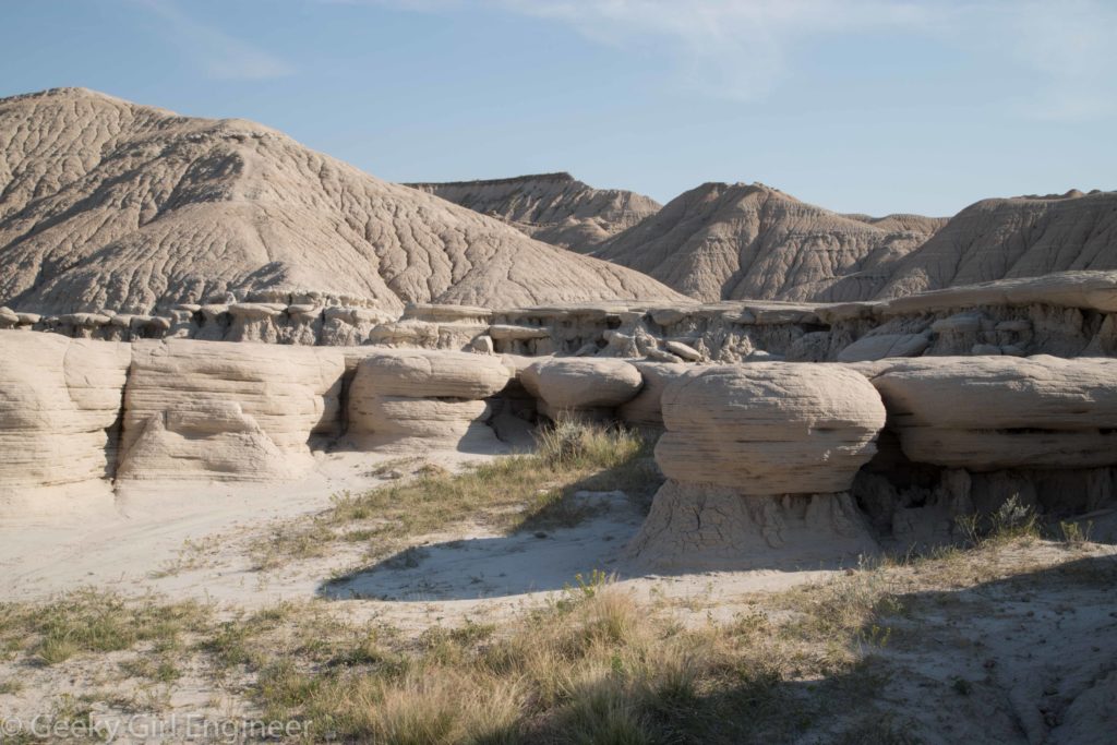
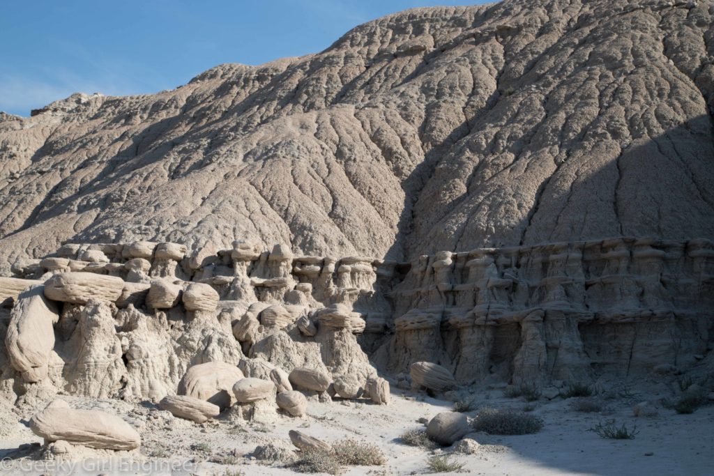
After the amazing event that was the total solar eclipse, I headed north to continue my trip. I stopped at Toadstool Geological Park along the way. The area is small badlands landscape with several formations said to resemble toadstools. It is a nice area to go do a little hiking, but it should be noted that to get there requires a long drive down a dirt road, which is not so nice.
Solar Eclipse
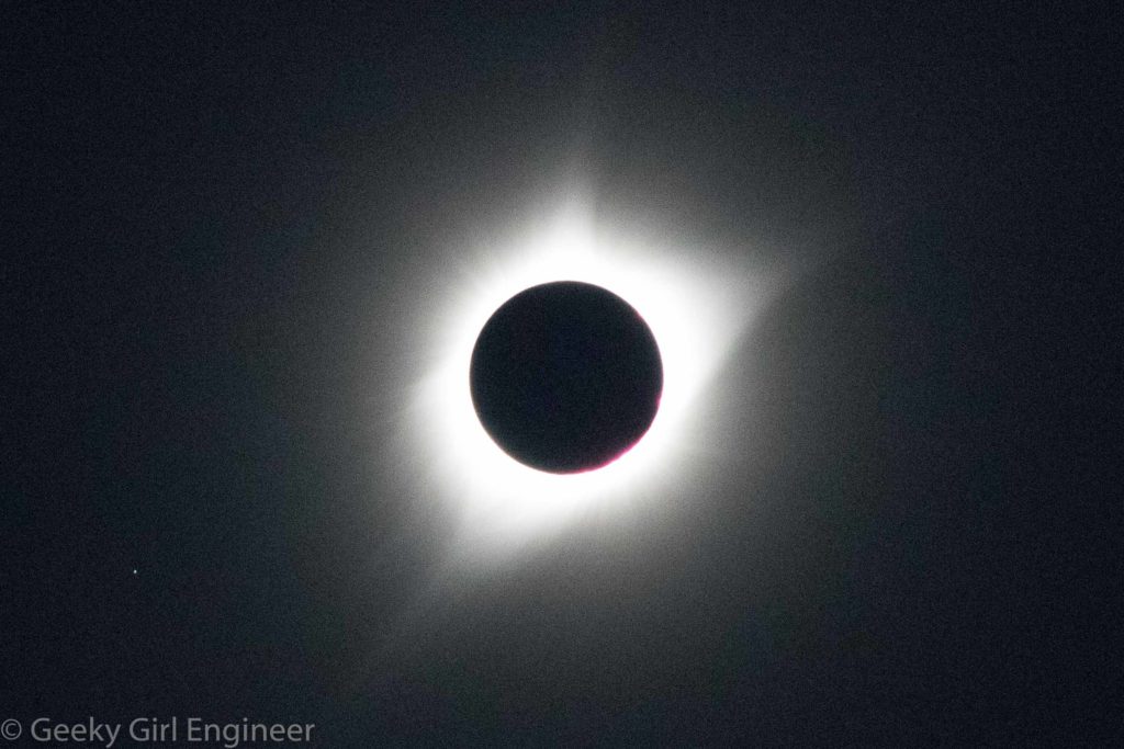
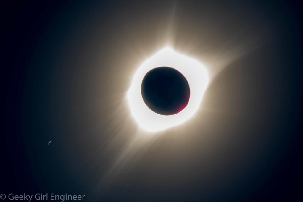
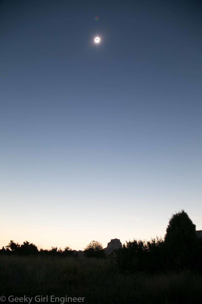
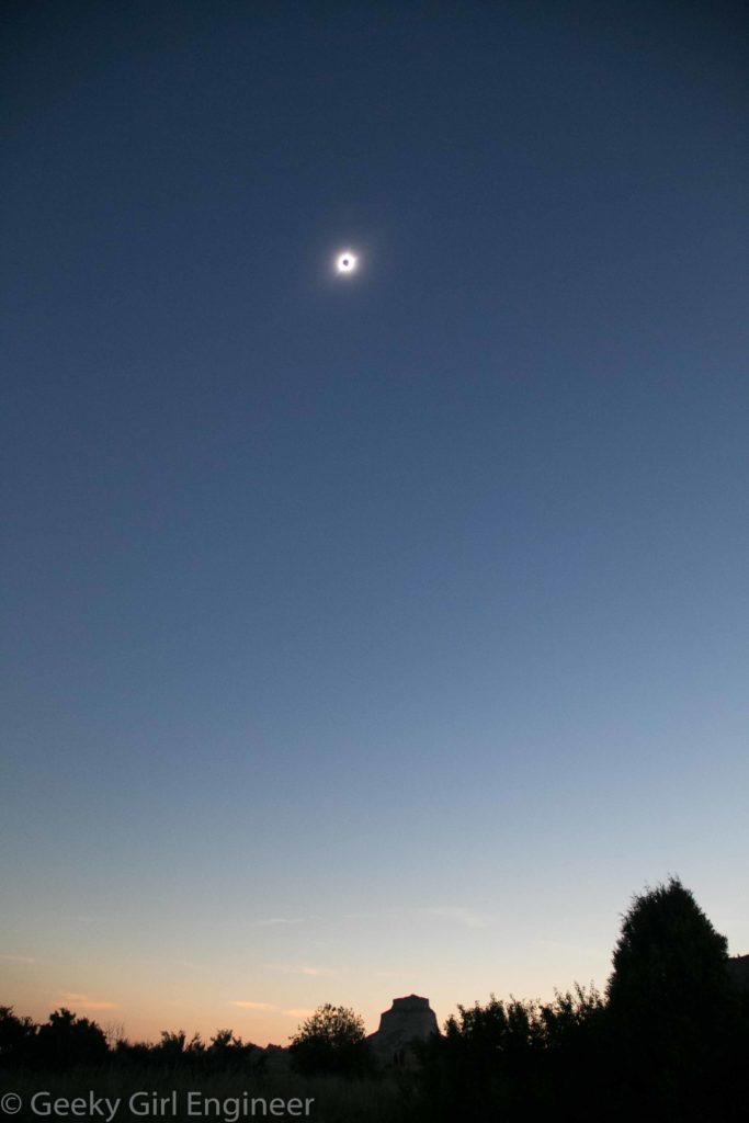
The solar eclipse is the main reason I came out west for vacation. I have seen a partial solar eclipse before, but never a total solar eclipse. It was like nothing I have ever experienced. Shortly before totality, the Sun got less glaring, and the temperature cooled a little. About ten minutes before totality, it seemed the entire world went sepia. I don’t think I can properly describe it really. Totality was just amazing. It was night and day at the same time.
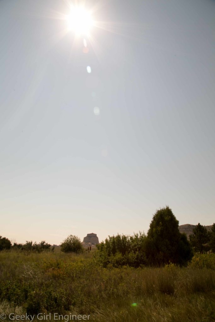
Edited to add: I viewed the solar eclipse at Scottsbluff National Monument. I really wanted some landscape photos with the beautiful topography of Scottsbluff. Unfortunately, because of the position of the Sun during the eclipse, I could only get a landscape photos, shot in portrait. However, I still got a few only not with some of the really pretty cliffs.
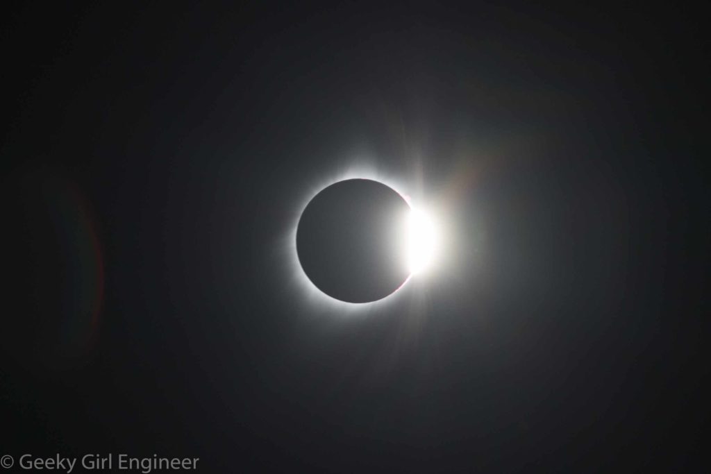
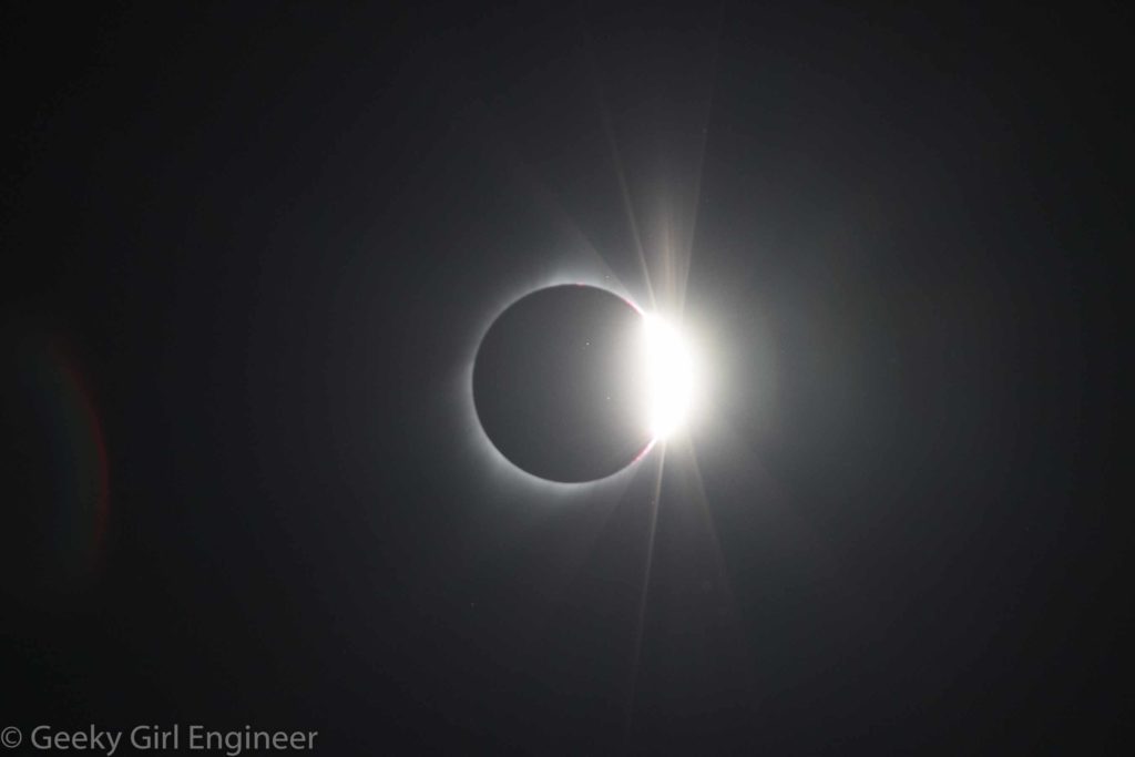
Below are some of my photos, and then at the end is a video slideshow of my photos. For the photography types, all the zoomed in photos of the Sun were taken with my Canon 6D Mark II with my Cannon EF 70-300mm zoom lens, zoomed in to 300 mm with a Formatt 67mm Firecrest Neutral Density 5.4 Solar Eclipse Filter. All landscape shots were taken with my Canon 6D with my Canon EF 24-105 mm lens. I had a timer on the camera for the zoomed in photos to take a photo every minute. I had to readjust the tripod the camera was on about every 5 shots due to the Sun moving. Hence, I ended up missing a few shots when the Sun moved out of focusing area before I could adjust the tripod.
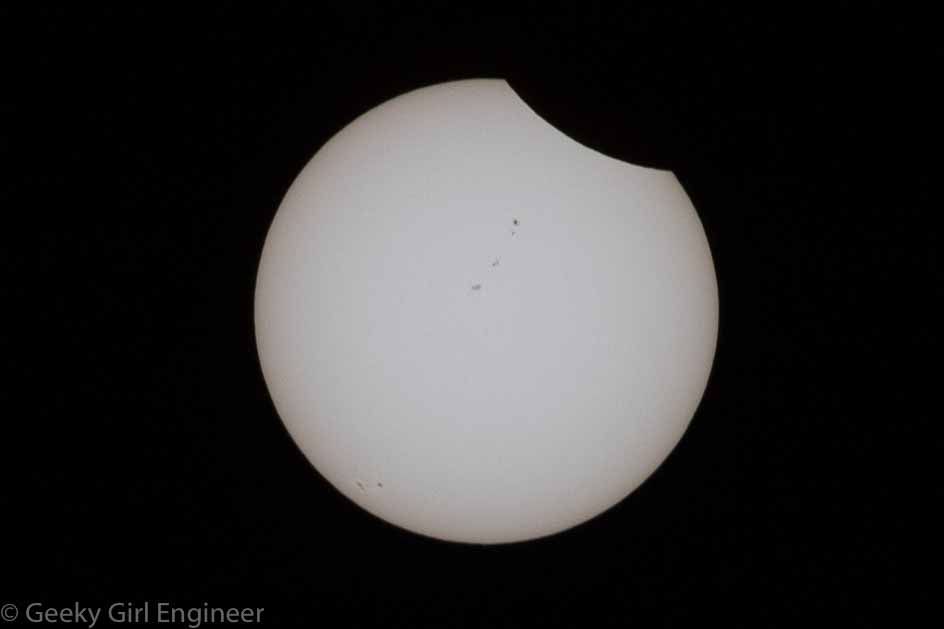
The photo below shows the Moon just starting to obscure the Sun, but more importantly, those are not flaws on the photo. Those are sun spots.
During totality, I had to quickly get the solar filter off. I then got a few photos right as the Sun reemerged before I got the solar filter back on.
Also, a few landscape photos.
Finally a video slideshow of all the zoomed in photos.
Scottsbluff National Monument
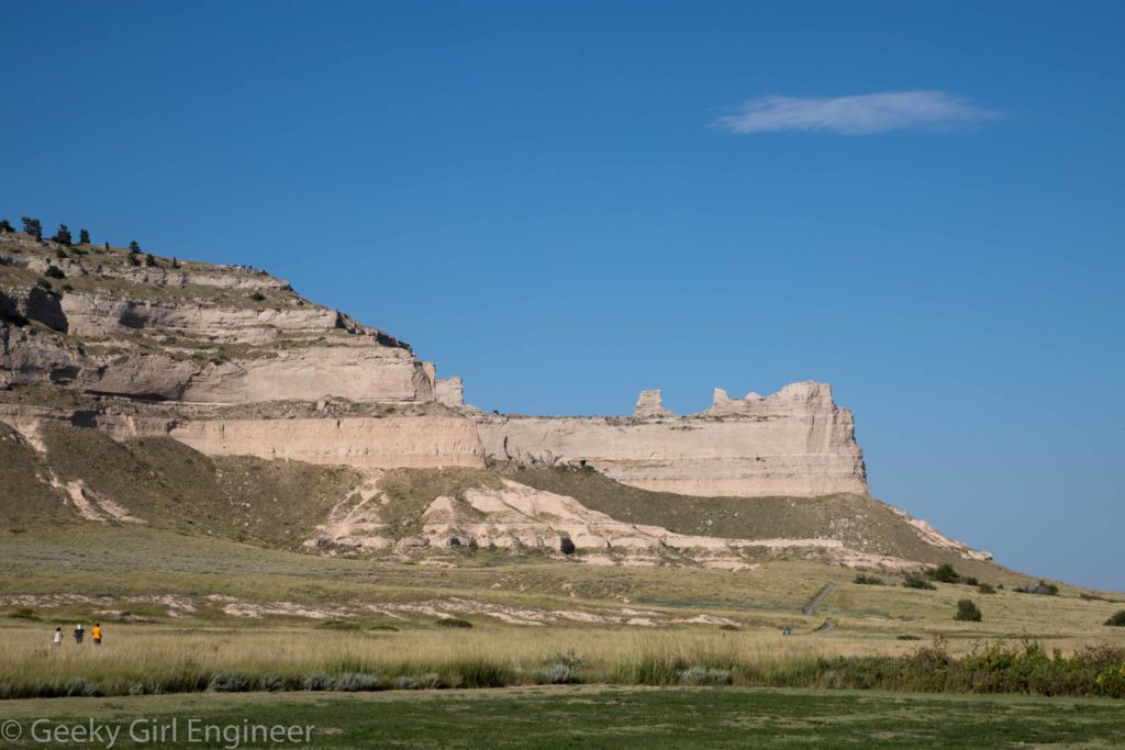
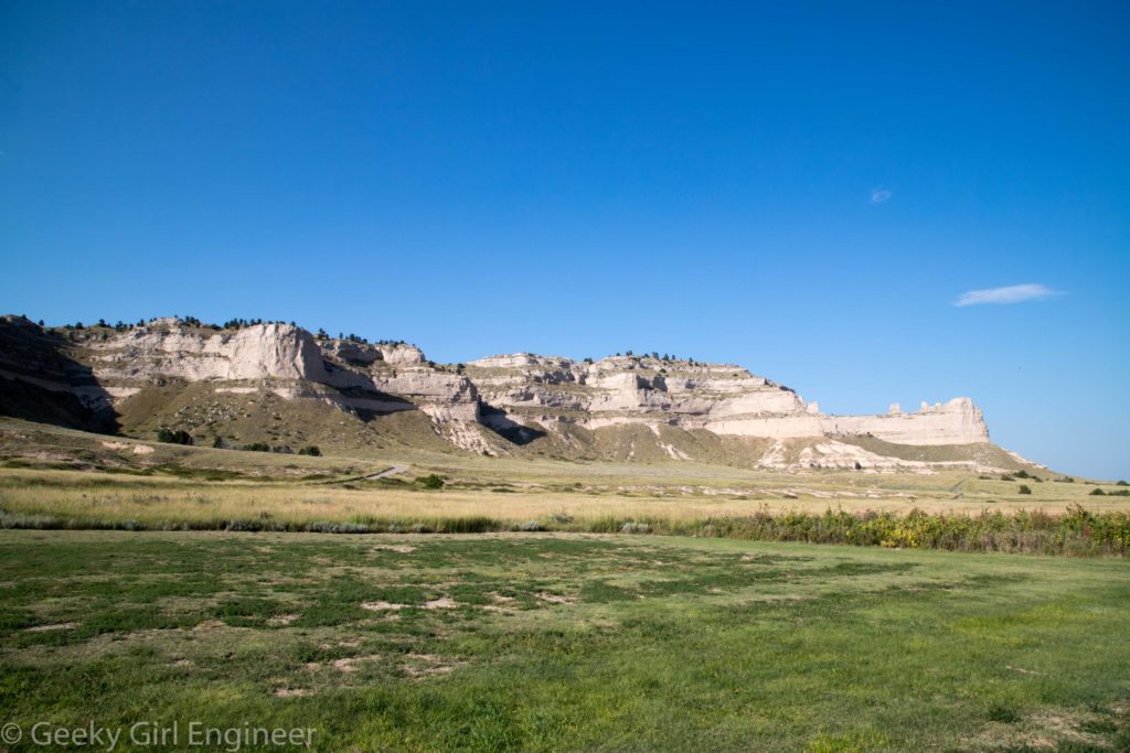
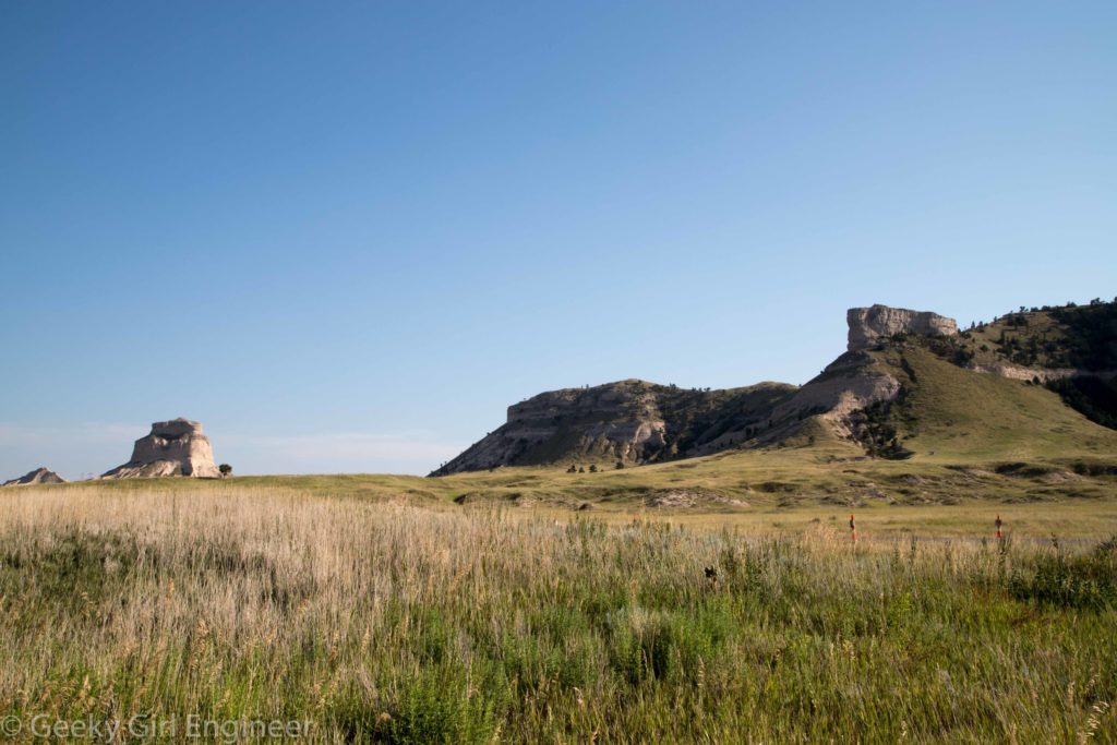
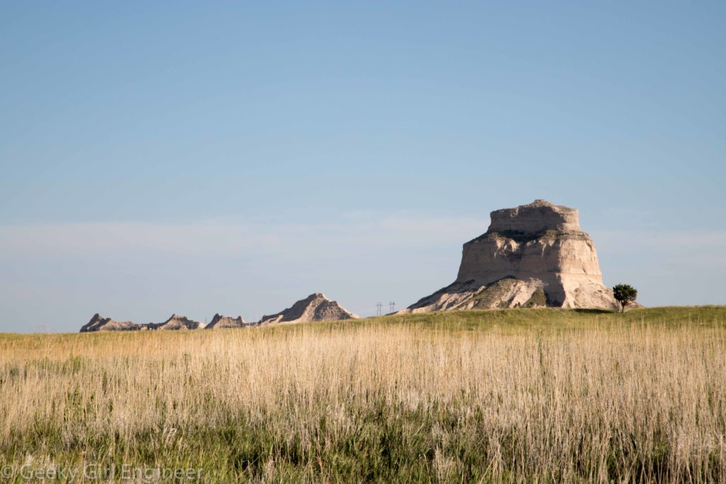
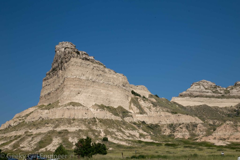
I went to Scottsbluff National Monument yesterday mostly to do reconnaissance for the eclipse. That was were I wanted to view the eclipse, so I wanted to check out the area and find out details of parking and opening and such. The area is beautiful. I always though of Nebraska as flat plains, but the western side at least is not. The topography of Scottsbluff is lovely, interesting, and definitely not a flat plain. I did end up viewing the eclipse at there, so a few of the below photos are from yesterday and a few from today. The last one is right before totality.
Rocky Mountain National Park
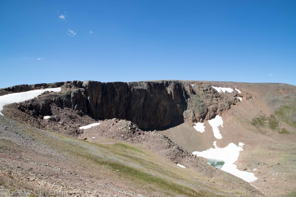
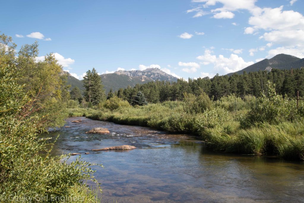
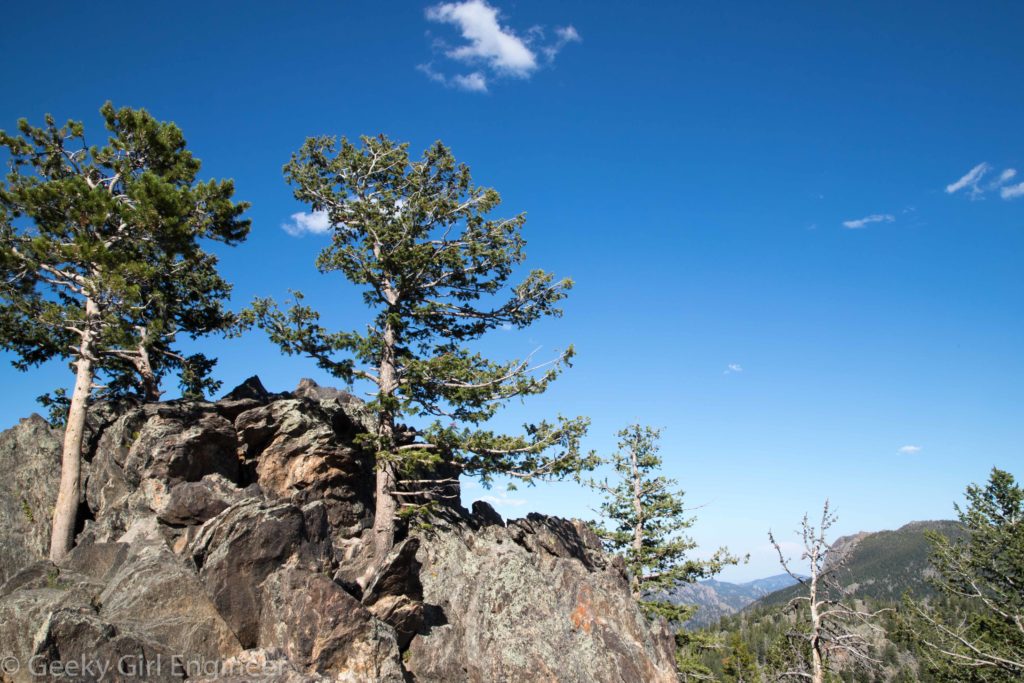
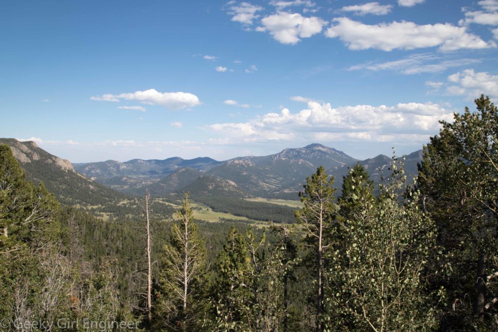
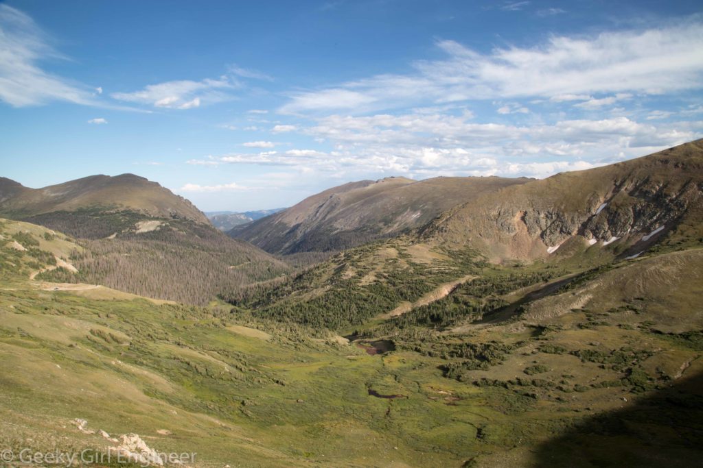
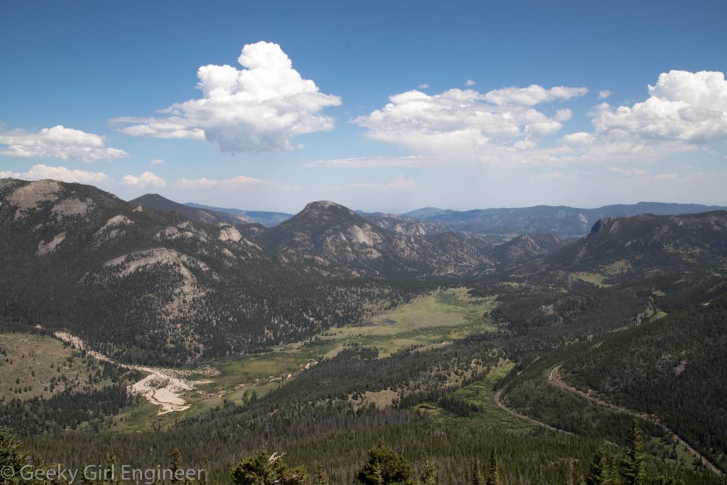
I arrived in Denver by train and immediately got hit with altitude issues. I don’t get altitude sickness exactly, but I do get winded when I have no time to adjust. Along my way north, I stopped at Rocky Mountain National Park. Unfortunately, because it was even higher, I could not do any hiking as I was just getting hit too hard by the altitude. Instead, I spent an enjoyable afternoon driving around and looking from the outlooks. One part of the park that I thought was special was how evident the tree line was. As the road approaches the highest part of the park, there are signs noting that you are entering an alpine environment, which is a sensitive ecosystem. The views are lovely.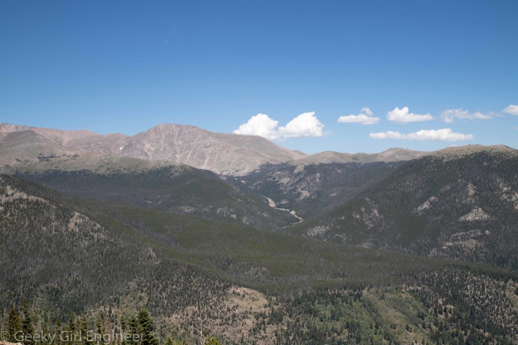
Potomac Eagle
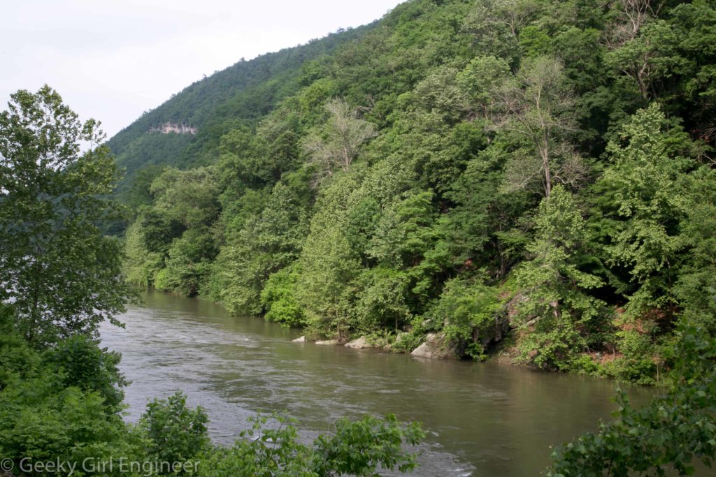
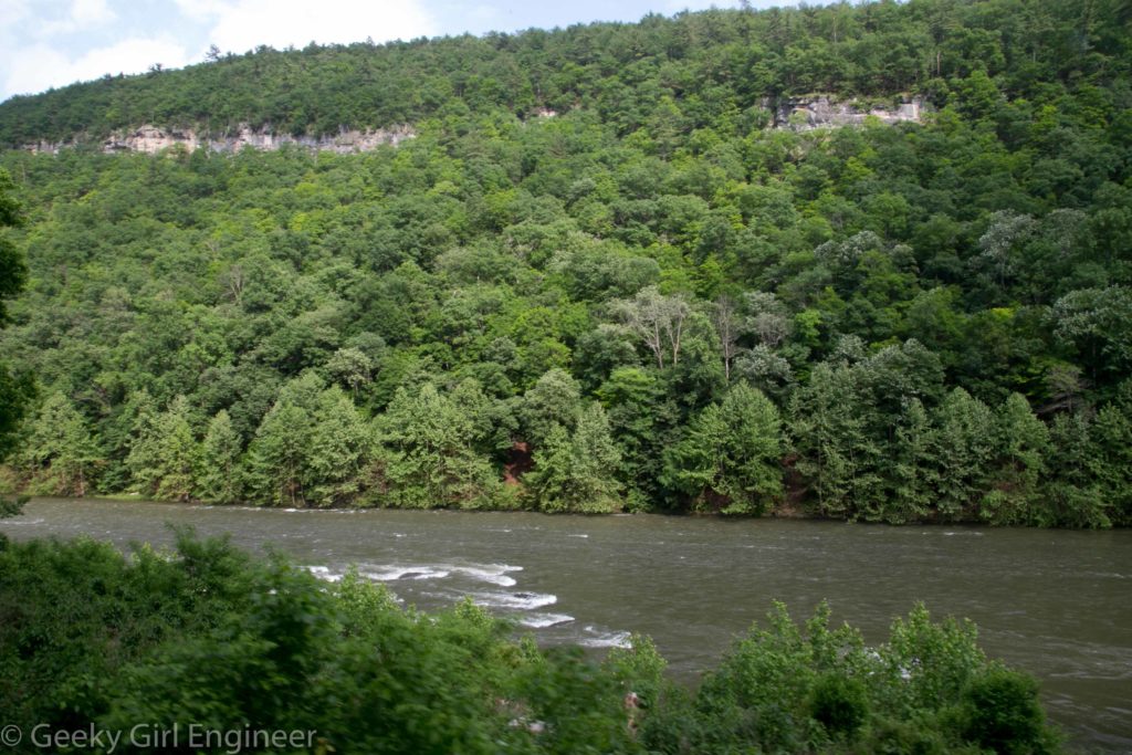
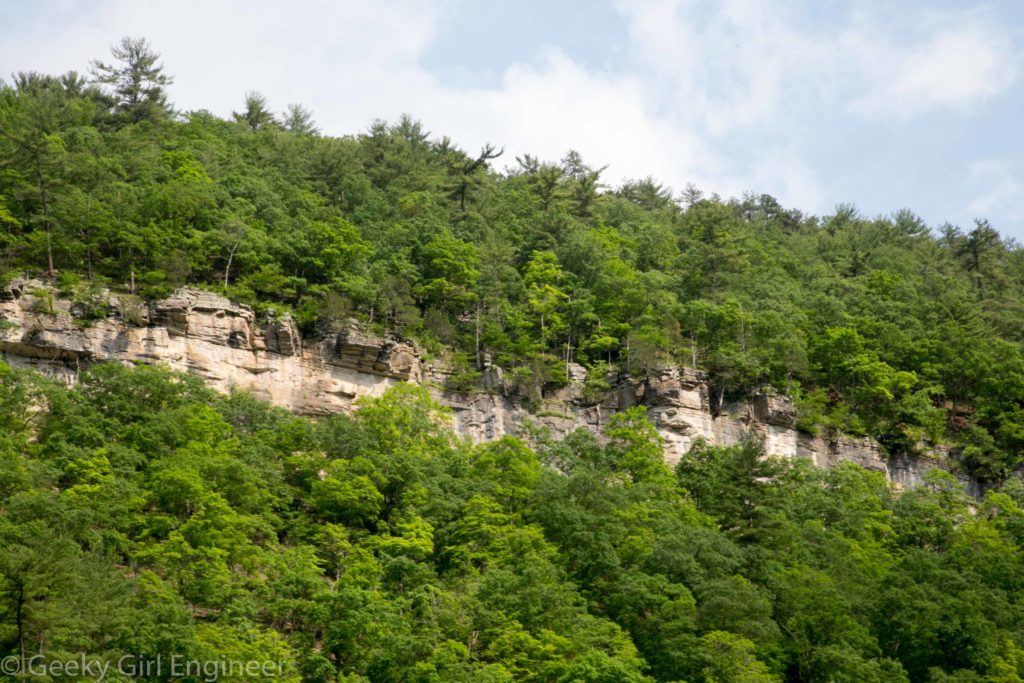
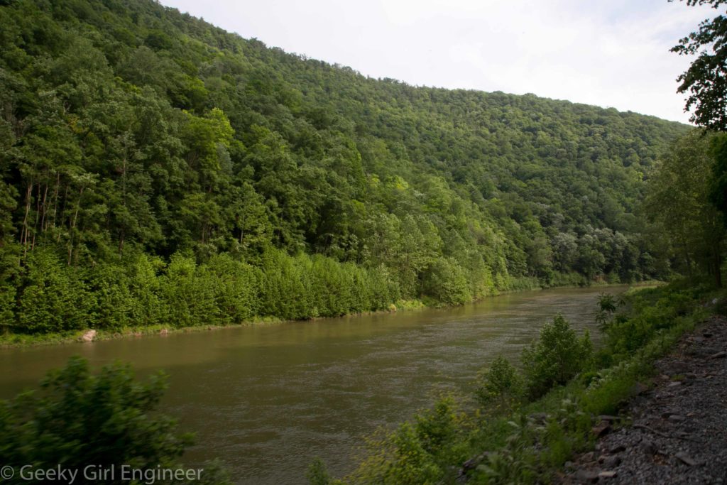
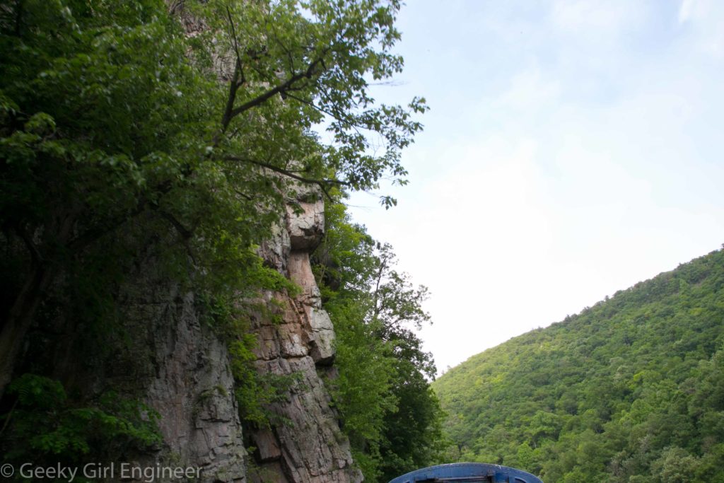
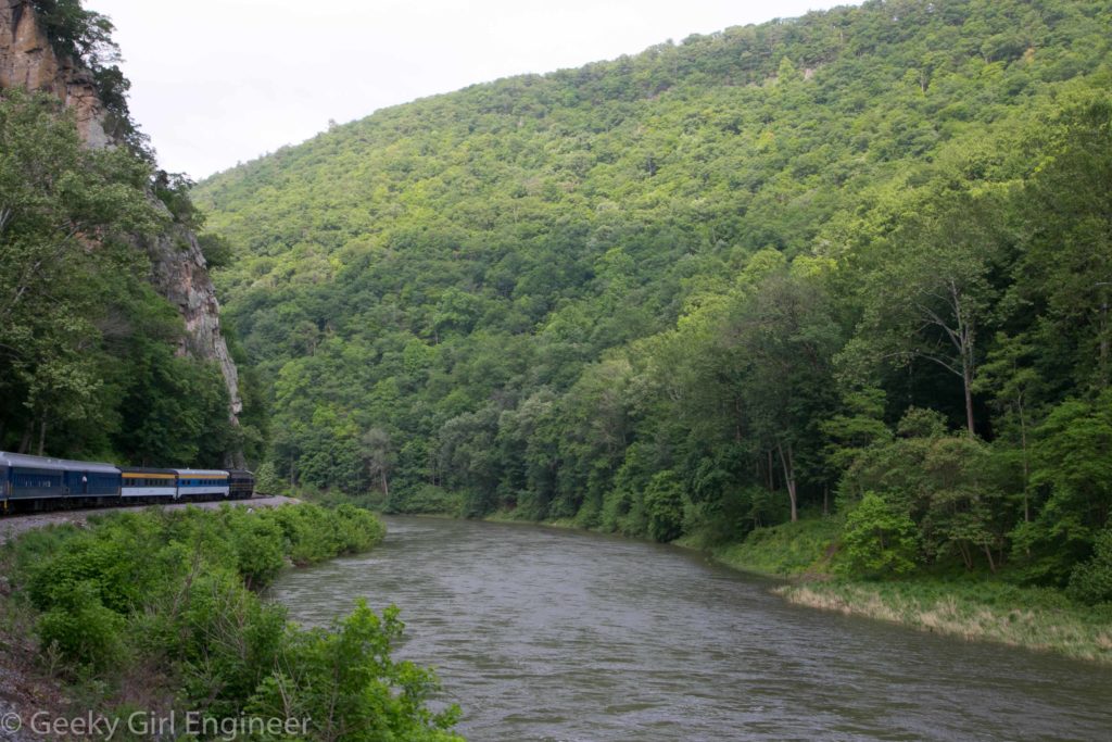
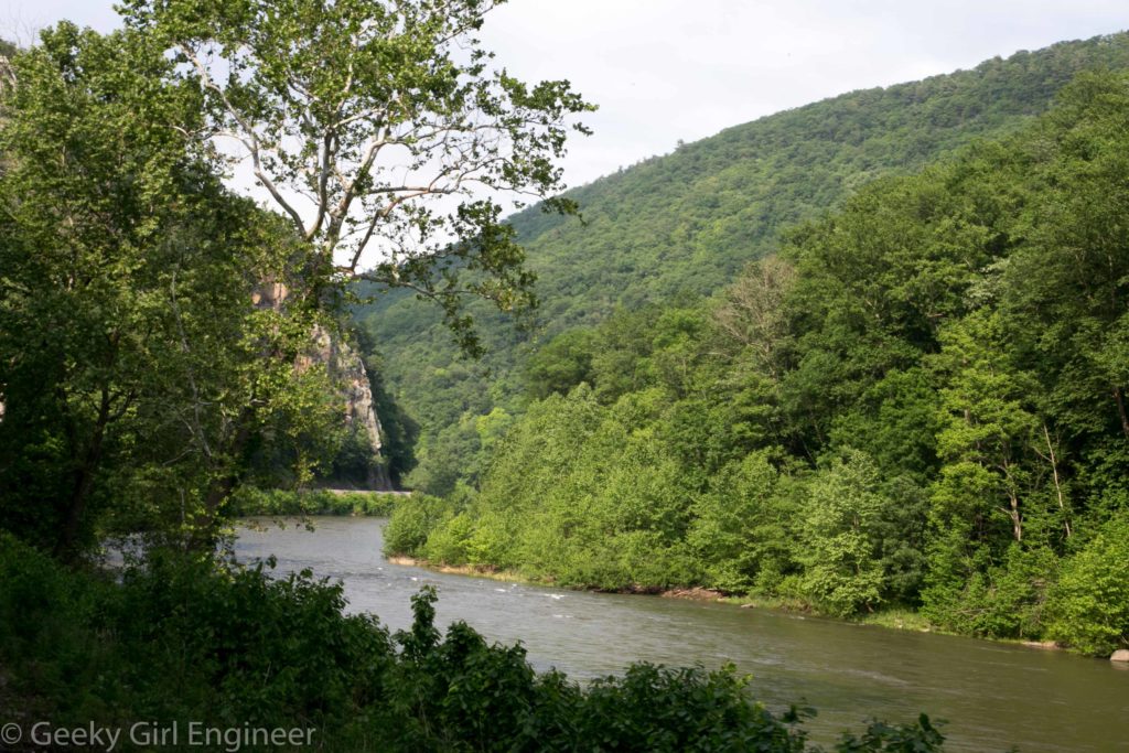
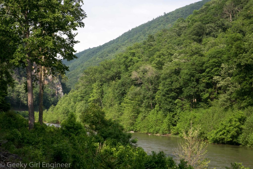
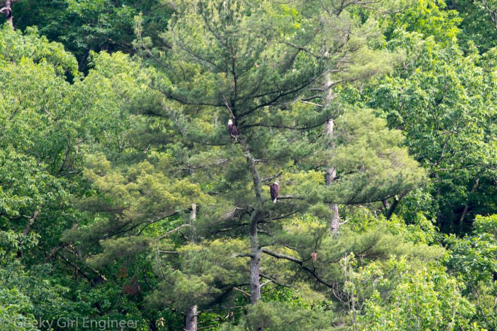
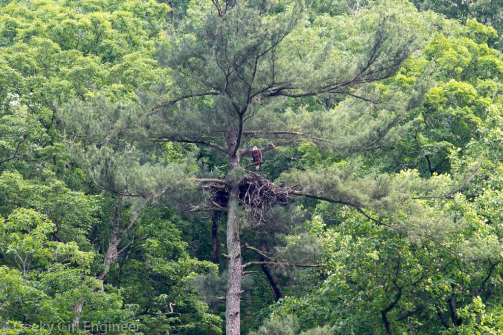
About a month ago, I went for a ride on the Potomac Eagle Scenic Railroad. The train follows a gorgeous path through the West Virginia country side, the highlight of which is through a gorge of the South Branch of the Potomac River known as the Trough. The train is called the Potomac Eagle because you are almost guaranteed to see bald eagles while in the Trough. I think we saw almost ten. I got photographs of about five. Truthfully even if I hadn’t seen the eagles, the scenery was worth the trip.
Lichen on Granite
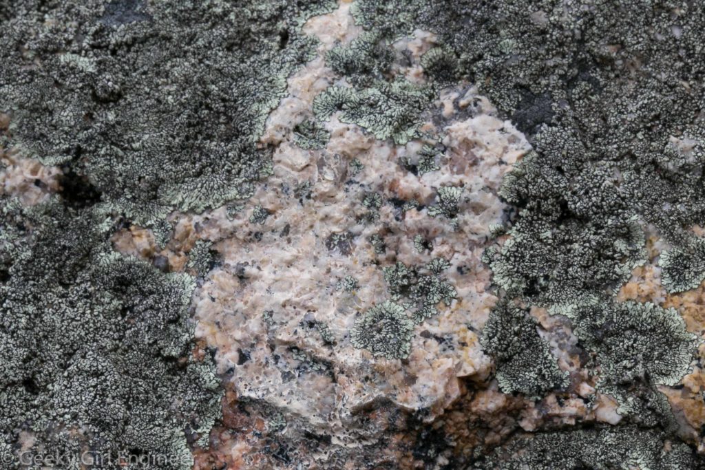
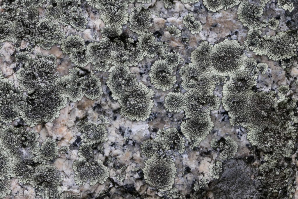
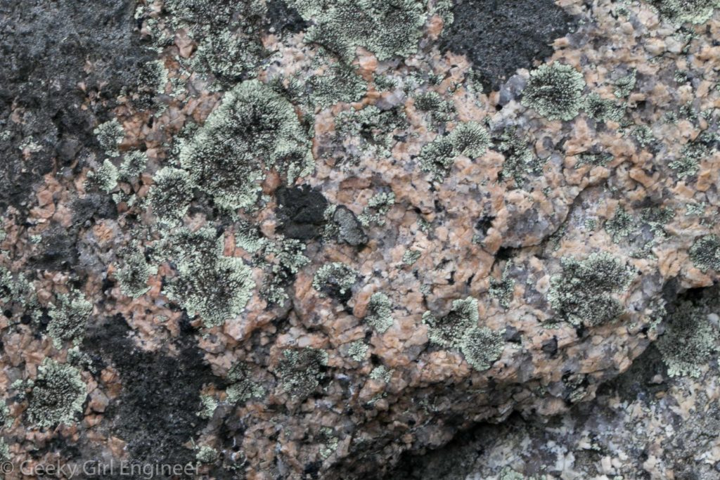
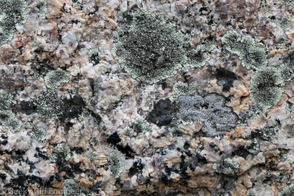
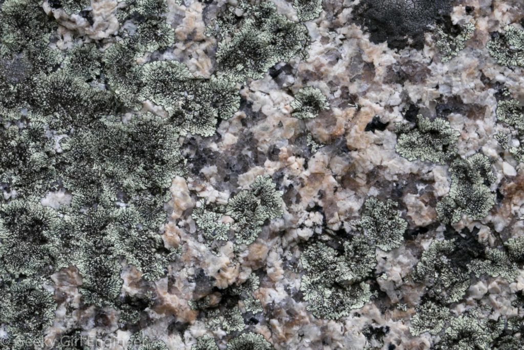
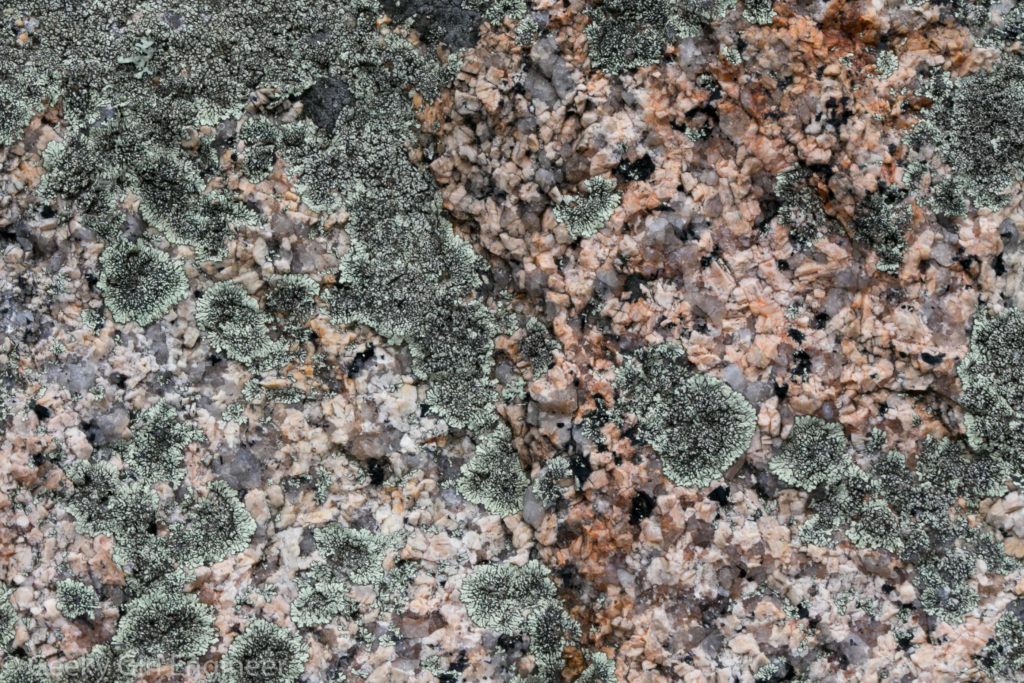
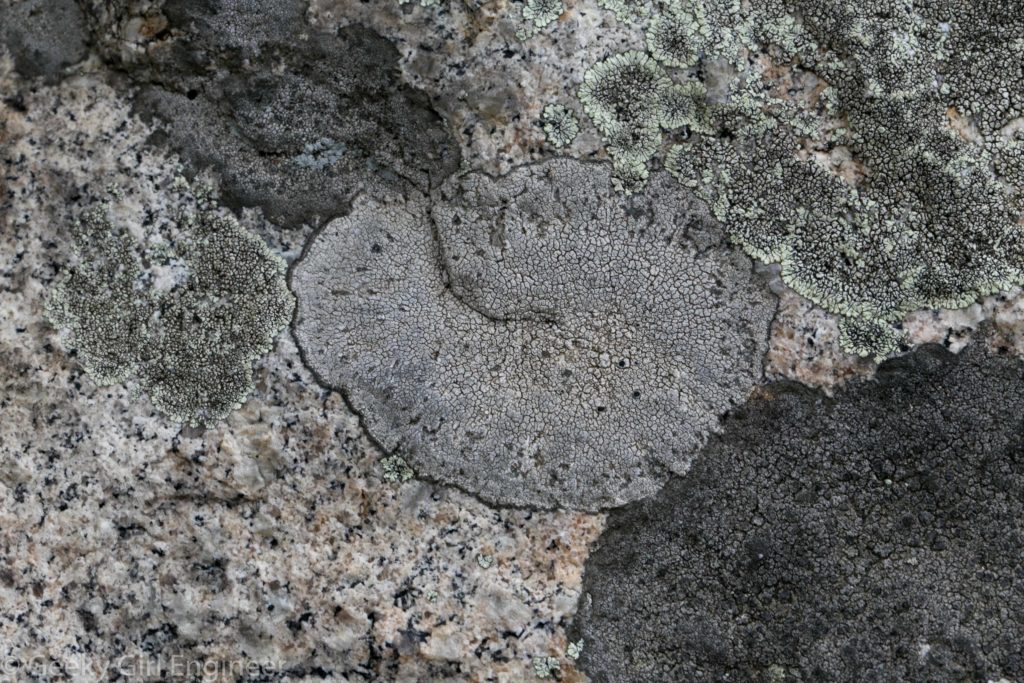
While in Stage Fort Park in Gloucester in Massachusetts’s northern shore, there were several huge granite boulders that were covered with lichen. It was thus therefore required for me to bring out my macro lens and take photos of it. I love lichen. I love granite. I love lichen on granite.
Northern Massachusetts Shore
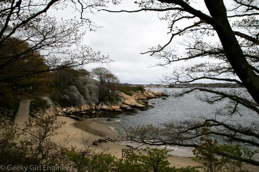
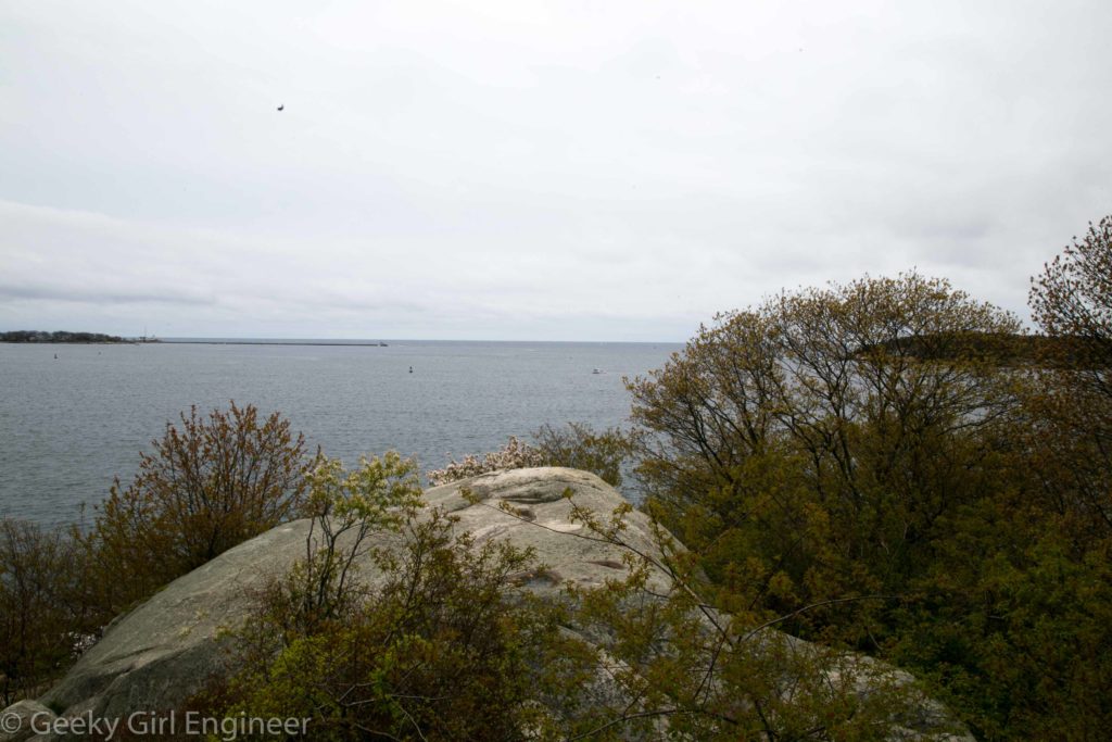
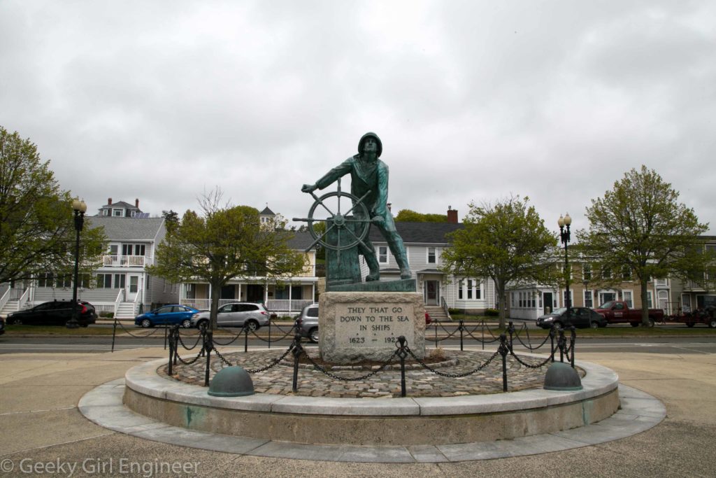
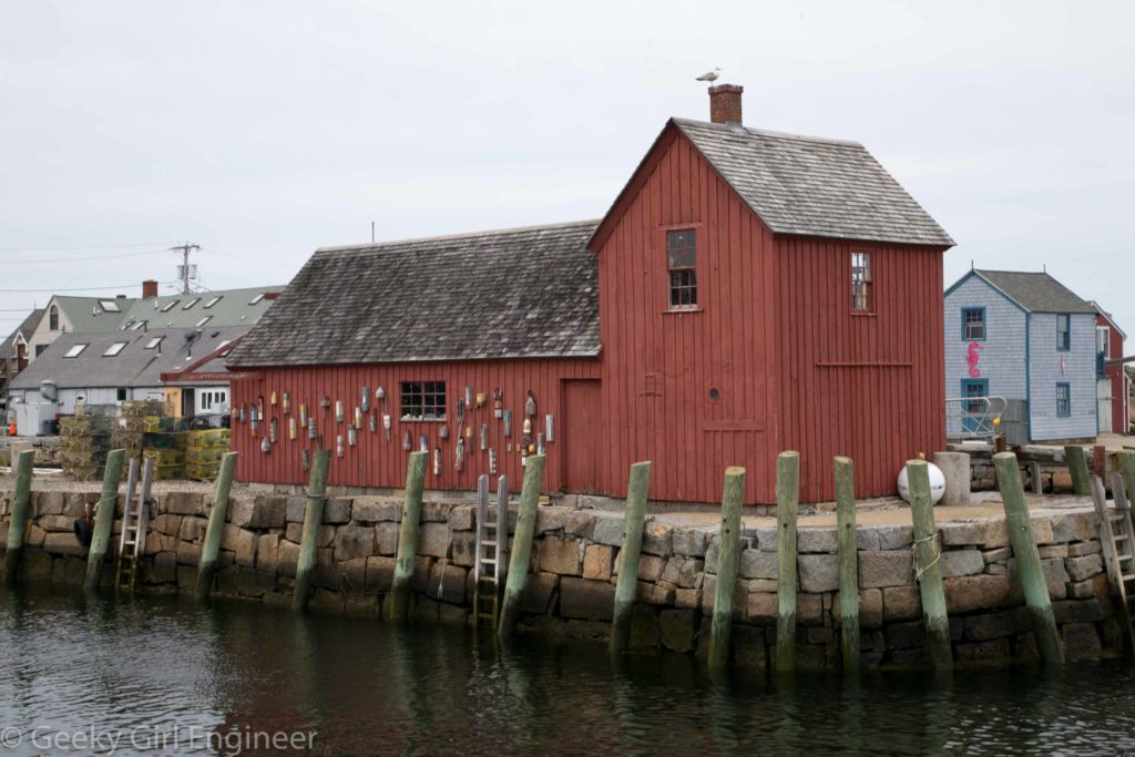
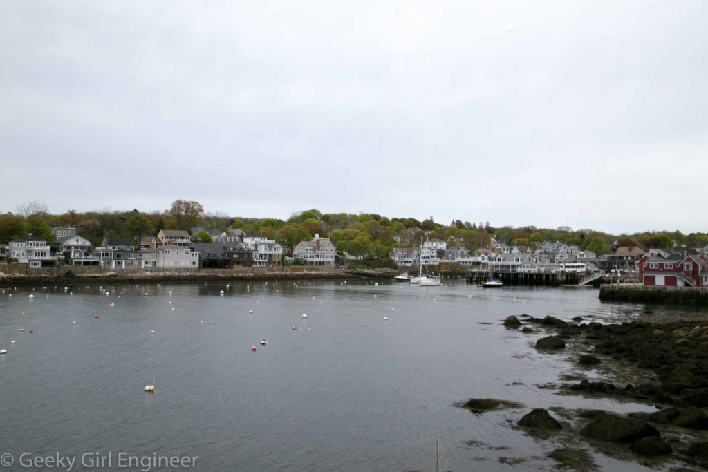
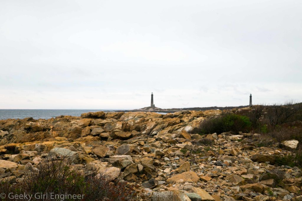
While in Boston for a few days, my friend Kristen said I need to get out the city and see Massachusetts’s northern shore. I think she was hunting lighthouses, but I was just looking for pretty views and classic New England. We found all of that visiting Gloucester and Rockport.
Quechee Gorge
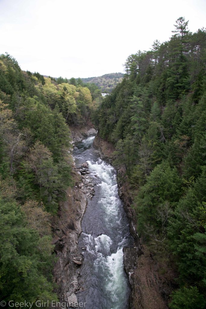
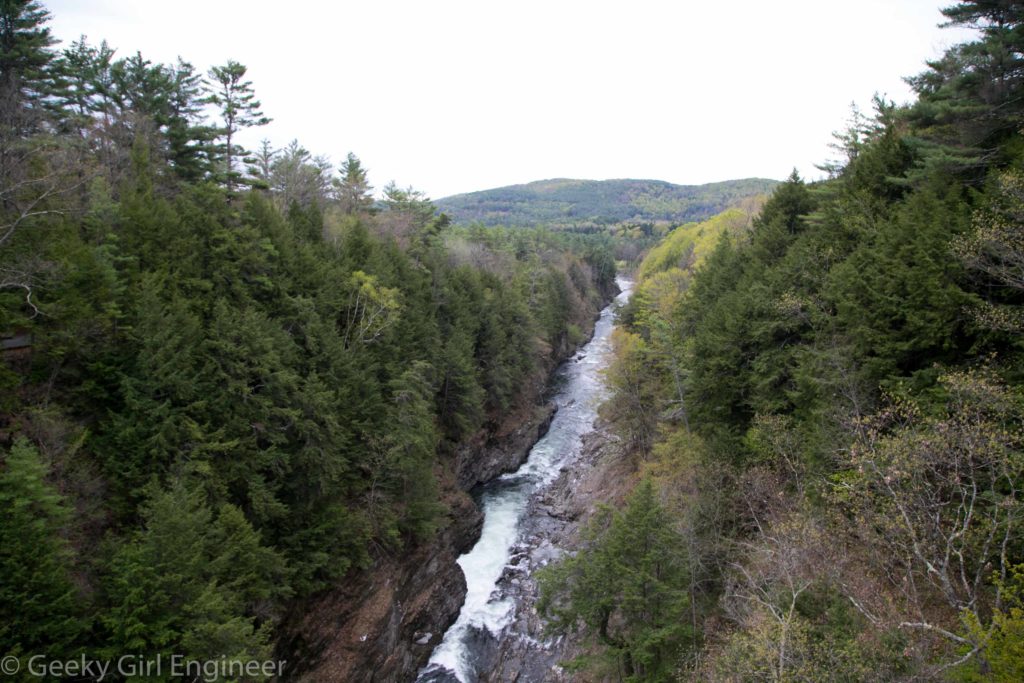
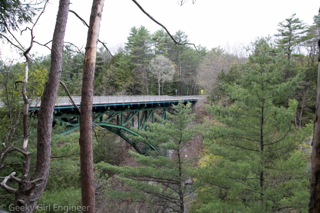
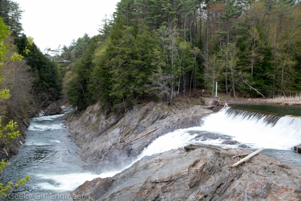
I’m in White River Junction, Vermont for a very short work trip. My waiter at dinner last night tells me if I have any free time, I need to make the 10 minute drive to see the Quechee Gorge. He was right. I didn’t have time to go hiking down to the bottom, which I would have loved to do. I only had time to walk along a little to see the dam. I do love to see dams and bridges.

