Diving Silfra

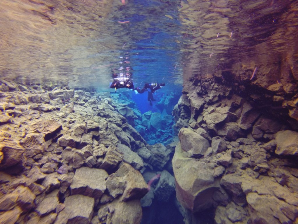
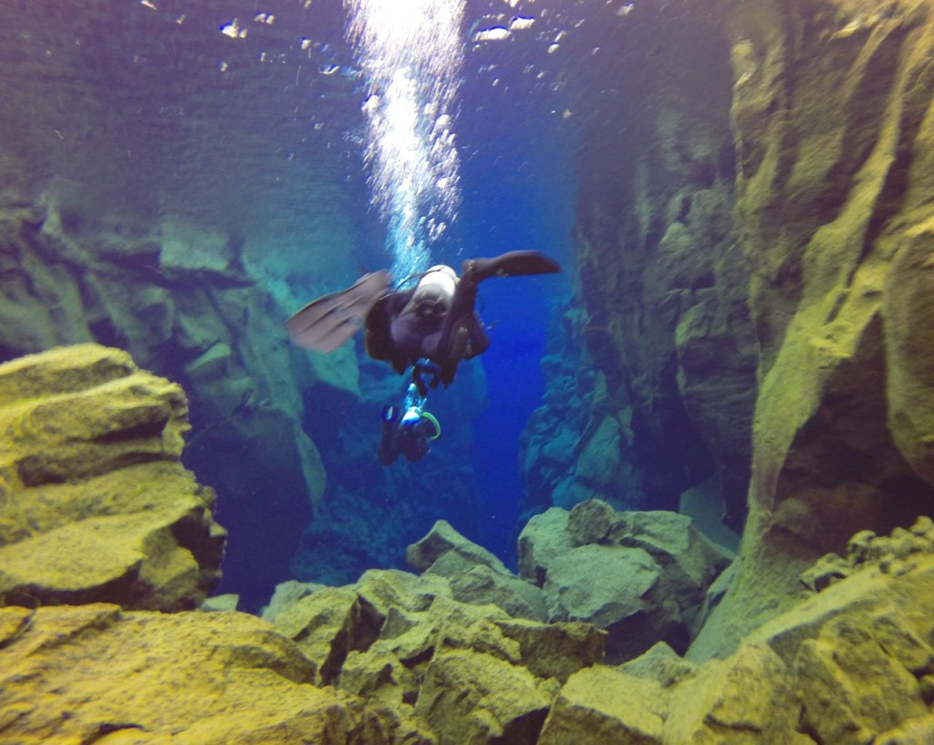
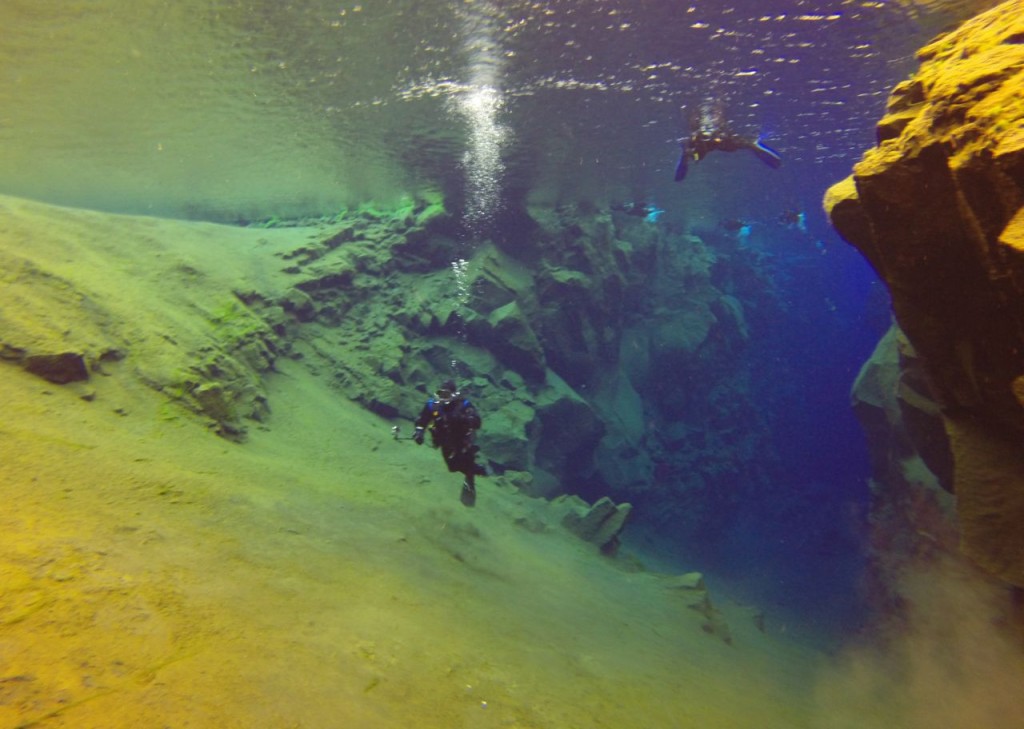
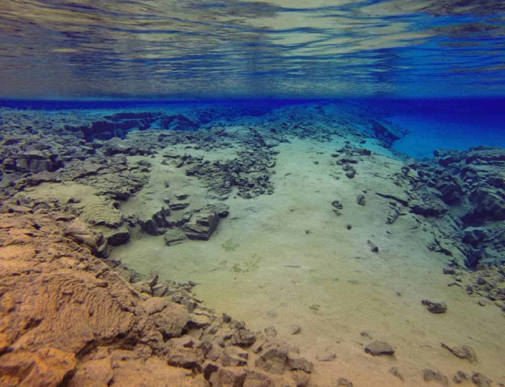
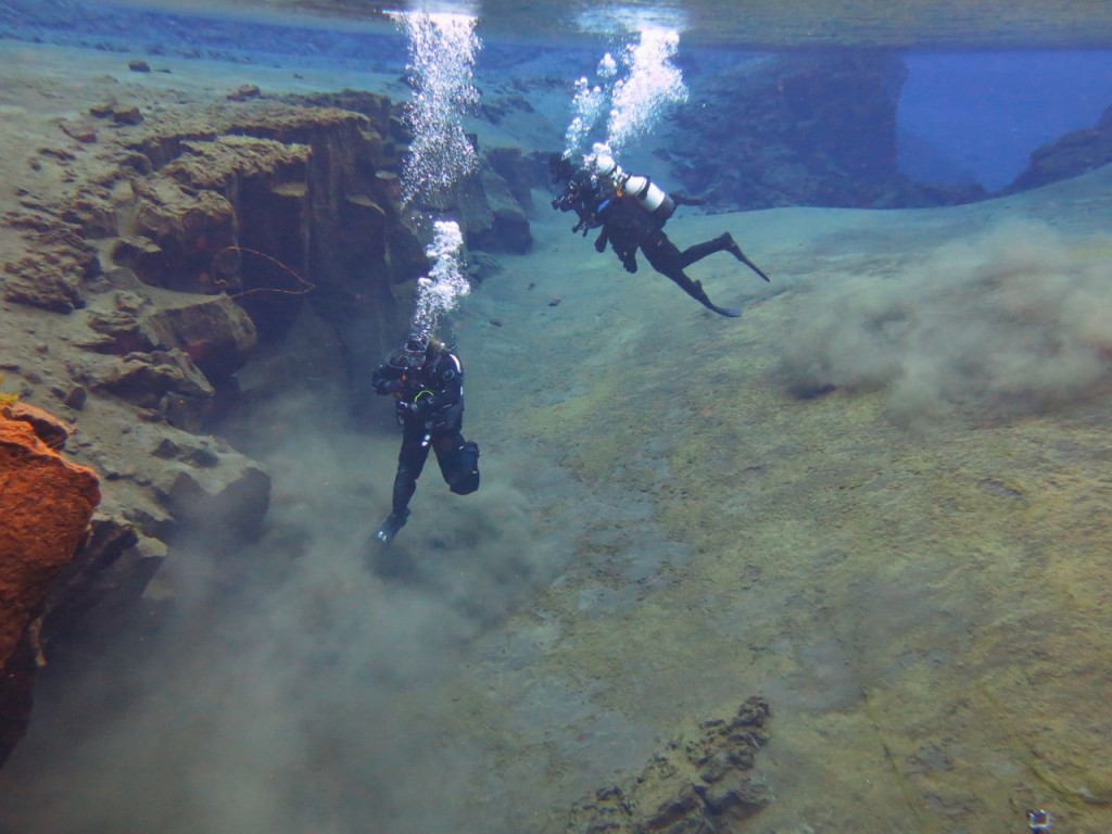
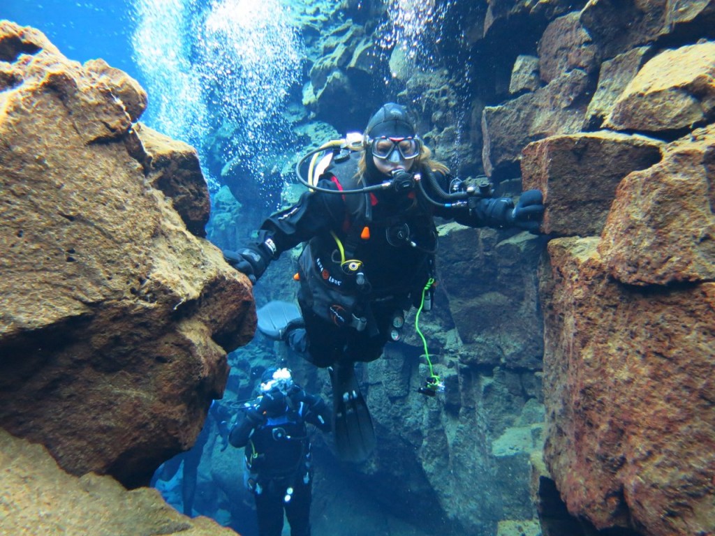
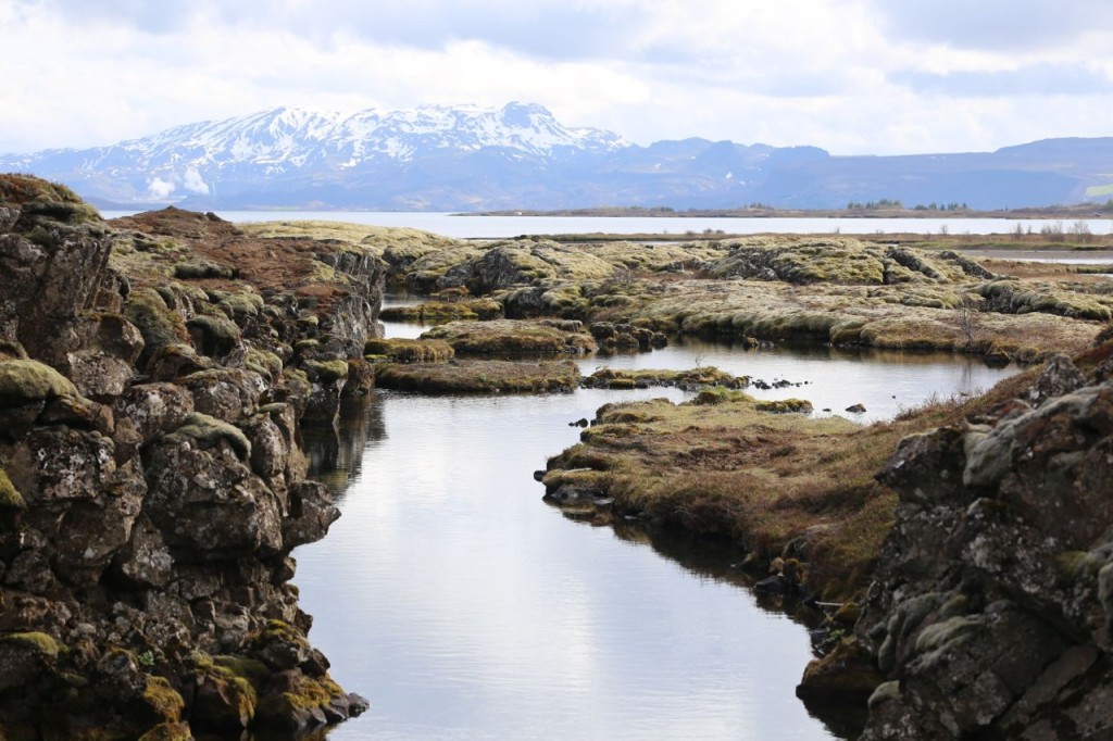
Day 3 in Iceland was spent in the Golden Triangle, visiting GeysirGullfoss, Bruarfoss, and Þingvellir National Park. We ended the day at Þingvellir, which I later returned to at the end of our trip. While at Þingvellir that day, I dove Silfra, which is a part of Þingvallavatn (Thingvallavatn). Silfra has crystal clear water that sits between high rock walls. Those rock walls represent the spreading of the North American and Eurasian tectonic plates, and in one place, a diver can reach out and touch both plates, which makes for very fun and memorable photos. At the end of this post is a photo of me doing just that. The canyons are somewhat disconnected, and the route through Silfra consists of swimming between deep canyon walls then turning through very shallow portions, of less than a meter, then back to a deep canyon, then shallow, etc., until it ends with a wide open plane. There is very little life in Silfra, except some algae. Perhaps some animals are there, but I never saw any. This was one adventurous thing that I decided I had to do if I was going to Iceland, and I got my dry suit SCUBA certification just to do it because the water in Þingvallavatn stays 2-4°C year round. I dove that day with Dive.Is. All the photos below are my own, except the ones which feature me. I purchased those photos through Dive.Is.
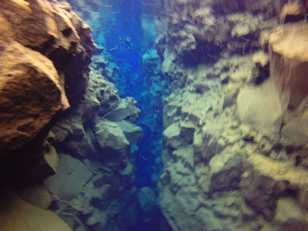
Silfra from above water

Silfra from above water

Canyon in Silfra

Canyon in Silfra. In the middle of the photo is the place where a diver can touch the North American and Eurasian tectonic plates.

Canyon in Silfra

Canyon in Silfra

Canyon in Silfra starts to become shallow

Canyon in Silfra starts to become shallow

Silfra canyon side

Silfra canyon side

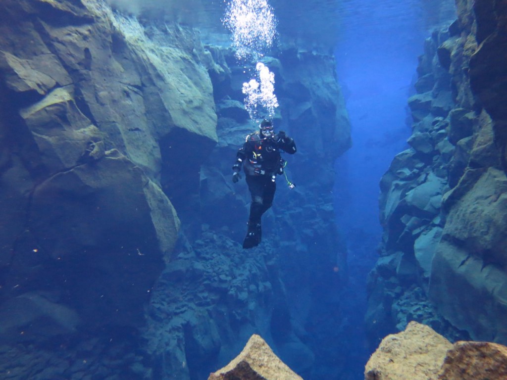
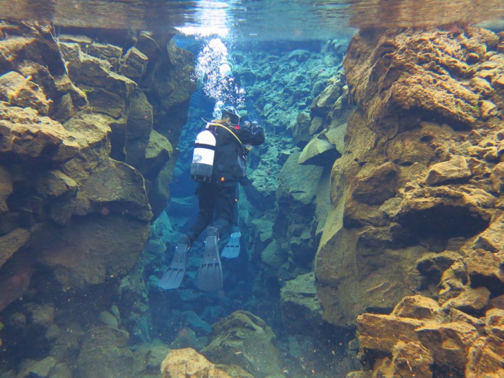
Diver in Canyon in Silfra

Diver in Canyon in Silfra

Silfra canyon exits to a wider plane

Silfra canyon exits to a wider plane

A shallow portion of Silfra

A shallow portion of Silfra

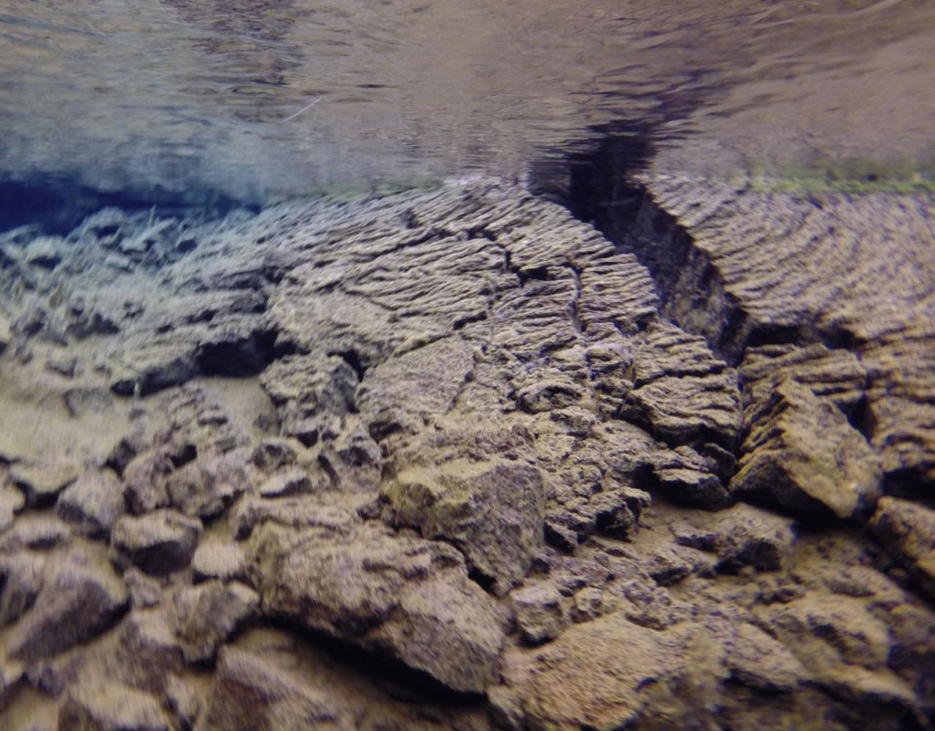
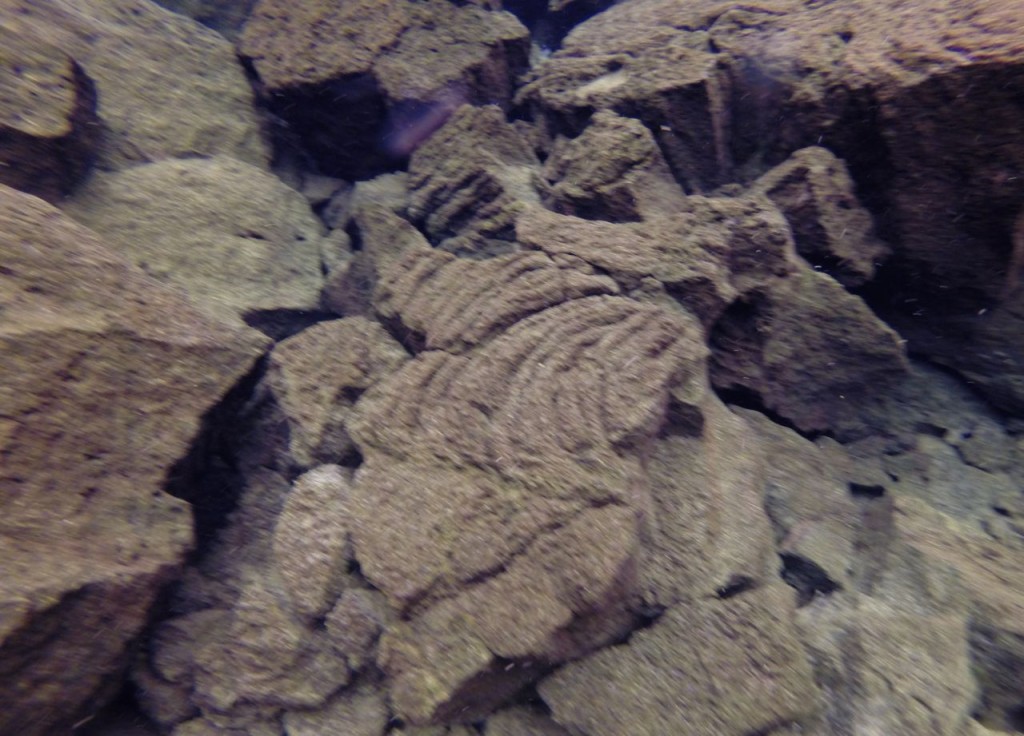
Lava flow marks on rocks

Lava flow marks on rocks

Lava formation

Lava formation

Me in a Silfra canyon

Me in a deep Silfra canyon

Me in a small Silfra canyon

Me taking a photo in a shallower Silfra canyon

Me taking a photo where a canyon ends. In the upper right is a diver exiting the canyon to another canyon through a shallow portion.

Me taking a photo where a canyon ends. In the upper right is a diver exiting the canyon to another canyon through a shallow portion.
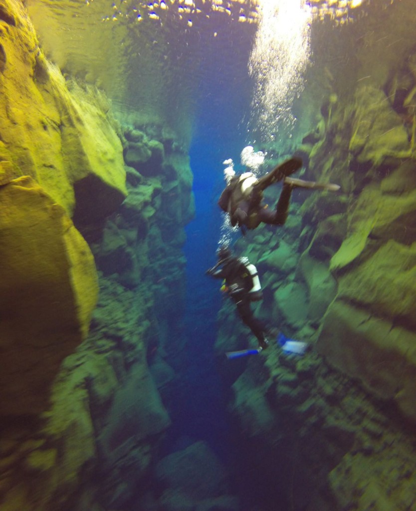
Me taking a photo as the canyon ends in a wider, shallow plane

Me taking a photo as the canyon ends in a wider, shallow plane. I’m taking a photo that is featured above.

Me touching the North American and Eurasian tectonic plates

Me touching the North American and Eurasian tectonic plates

Hiking a Glacier

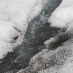
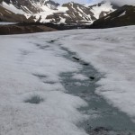
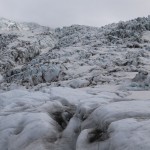
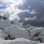
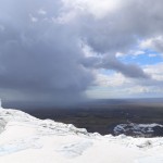
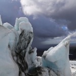
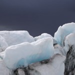
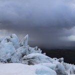
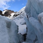
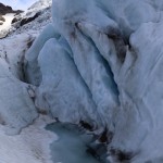
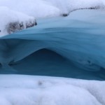
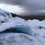
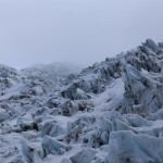
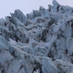
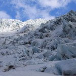
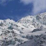
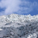
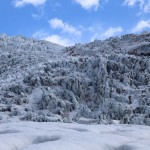
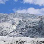
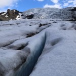
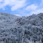
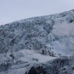
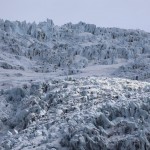
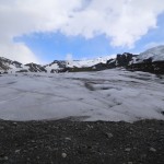
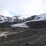
Day 5 in Iceland started with us taking an amazing hike up a glacier. We went on a tour with Glacier Guides (our guide Robin was great!), who gave us crampons, ice axes, helmets, and safety harnesses (in case we fell down a crevasse!?), and then we hiked up a glacier. I still can’t believe I hiked up a glacier. Part of the reason I can’t believe I hiked up a glacier is because I have known issues with gravity, especially when frozen water is involved. The amazing part was, that with crampons on, walking on ice was much easier than walking on snow. Anyway, we hiked up Falljökull which is located in the Skaftafell area of Vatnajökull National Park. We completely lucked out with the weather. A storm passed to the south of us, which made for some absolutely amazing photographs, but we didn’t get any precipitation. I am not one to brag about my photography, but I got some amazing photographs. I can’t really credit my skills though because with the scenery I had, I could not shoot a bad photograph. The glacier was white with amazing blues, and the sky was gray then white then blue, ever changing with the storm.