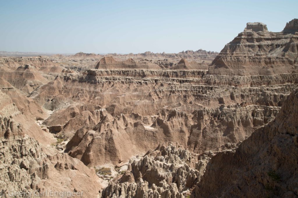
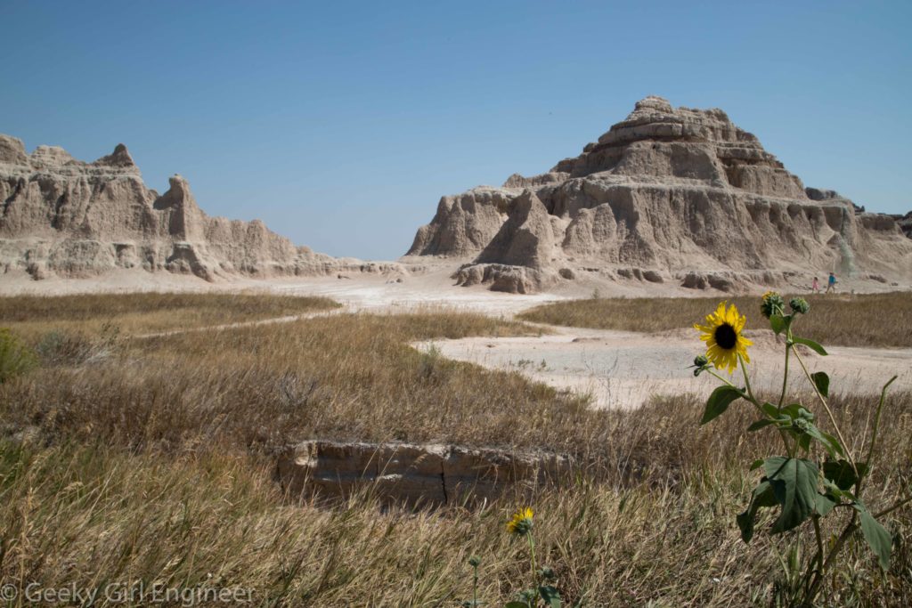
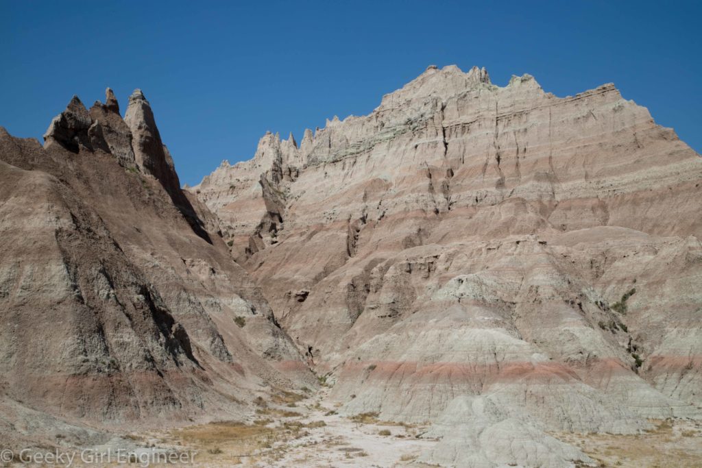
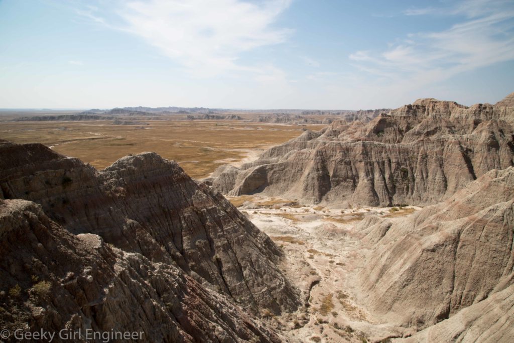
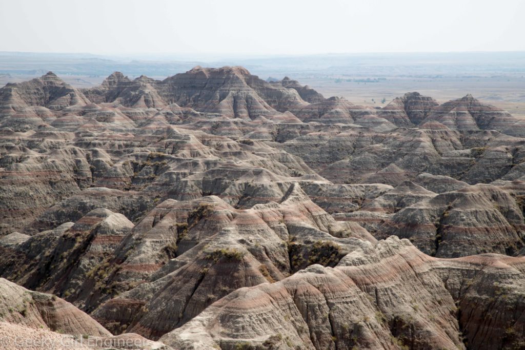
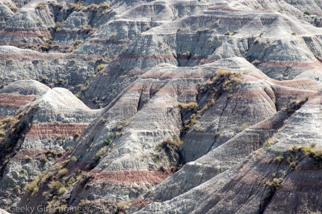
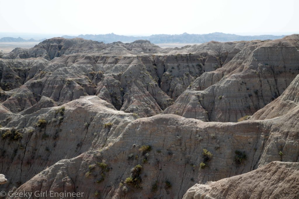
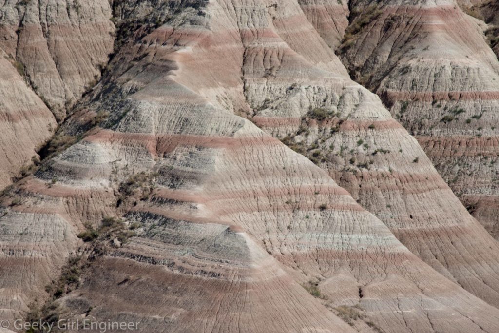
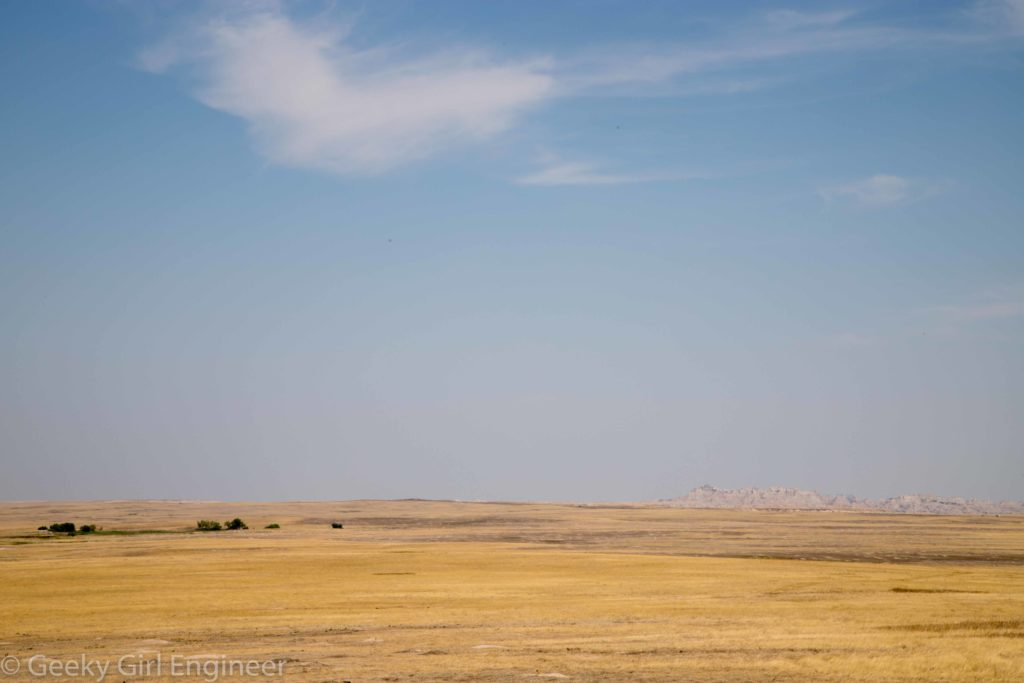
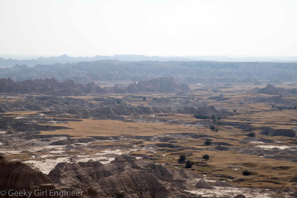
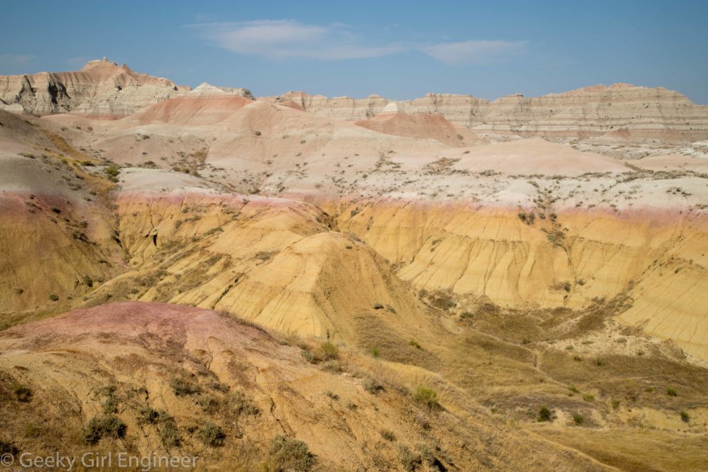
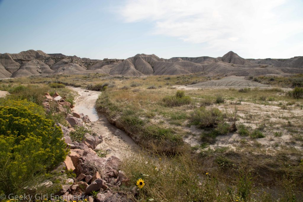
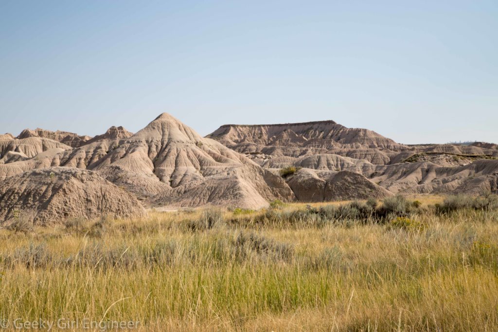
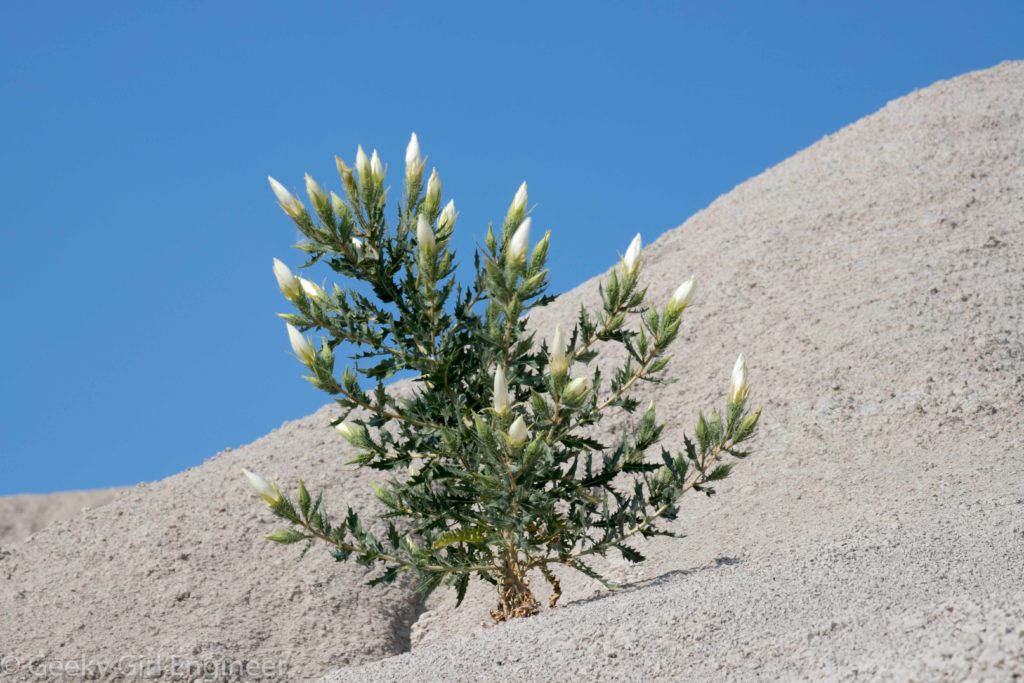
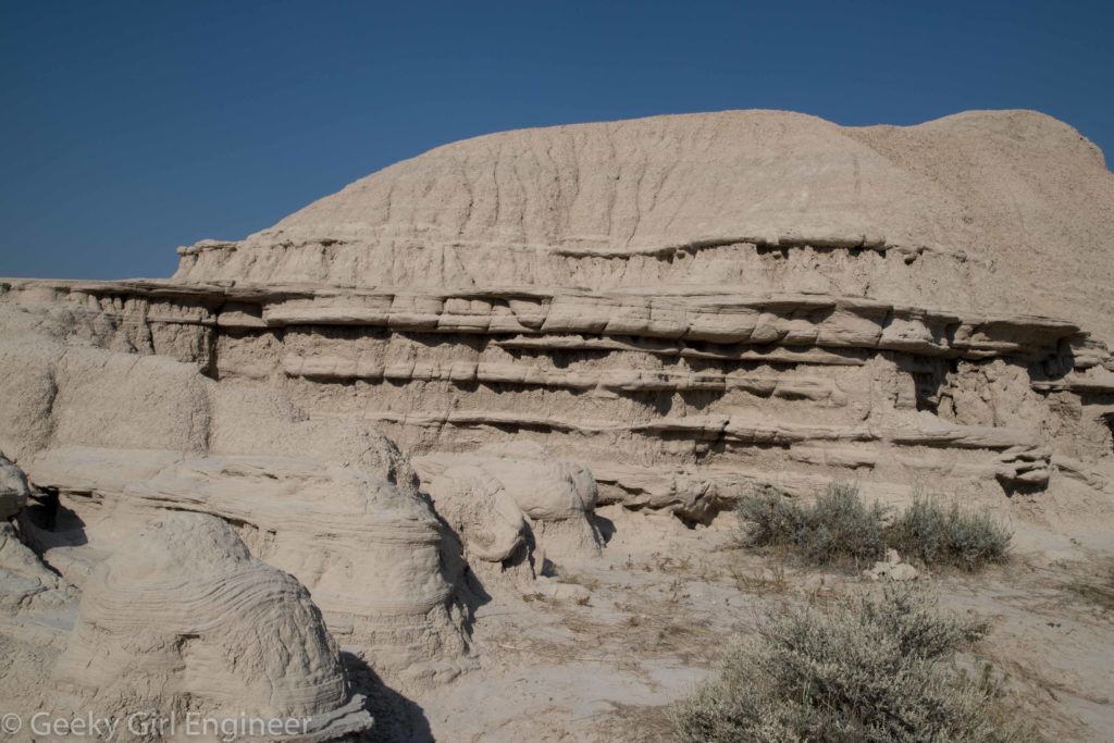
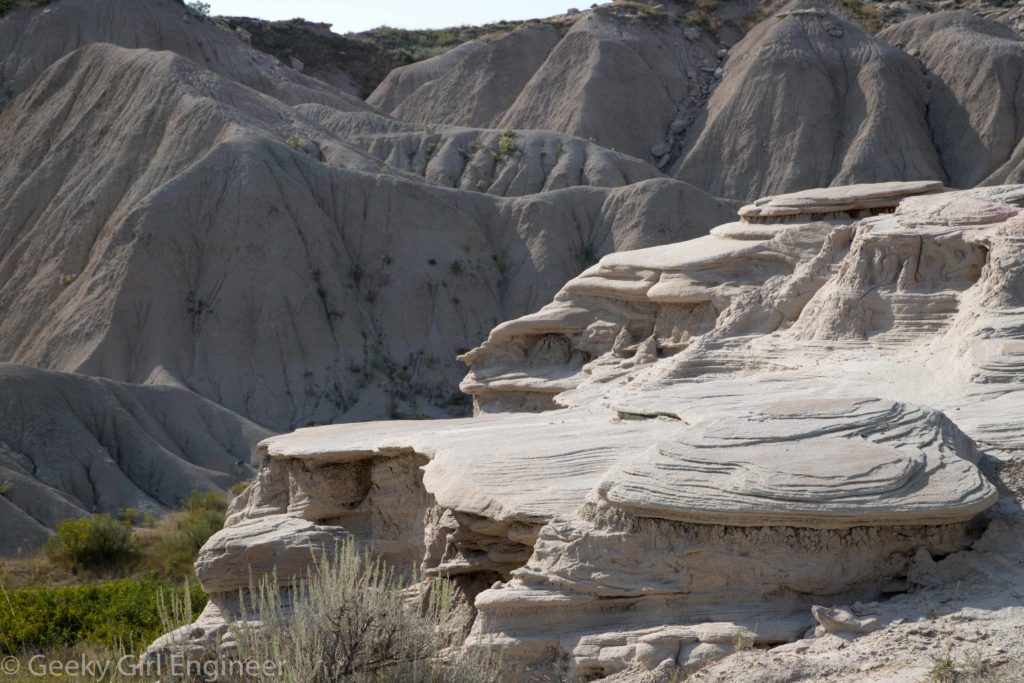
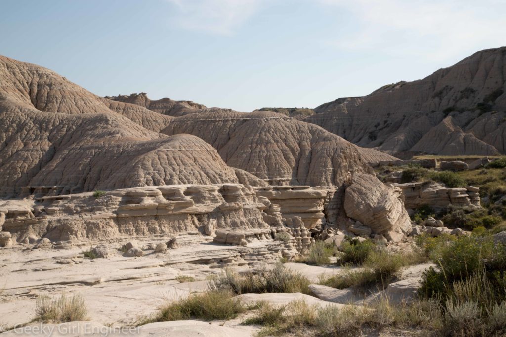
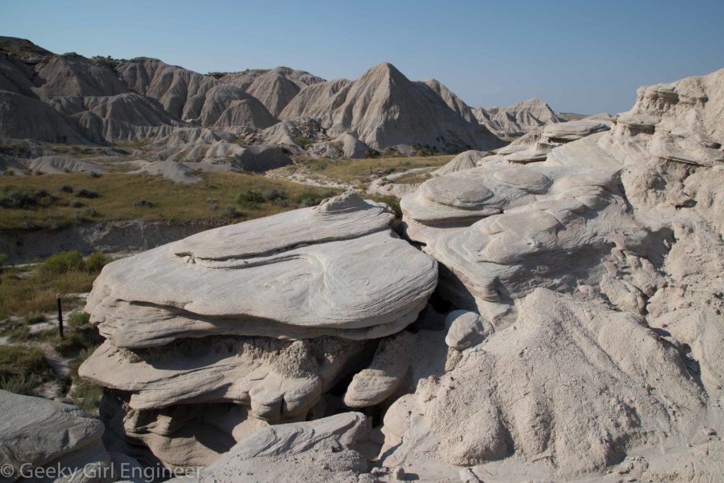
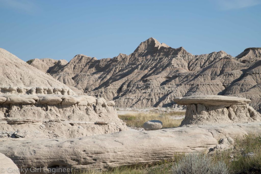
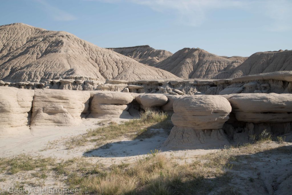
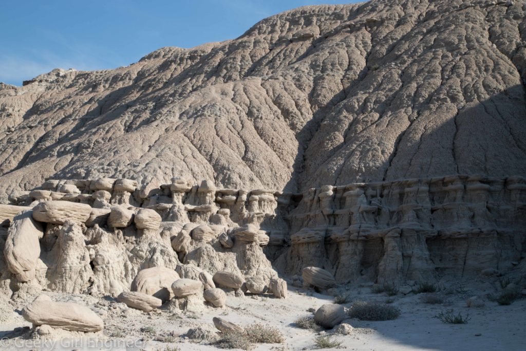
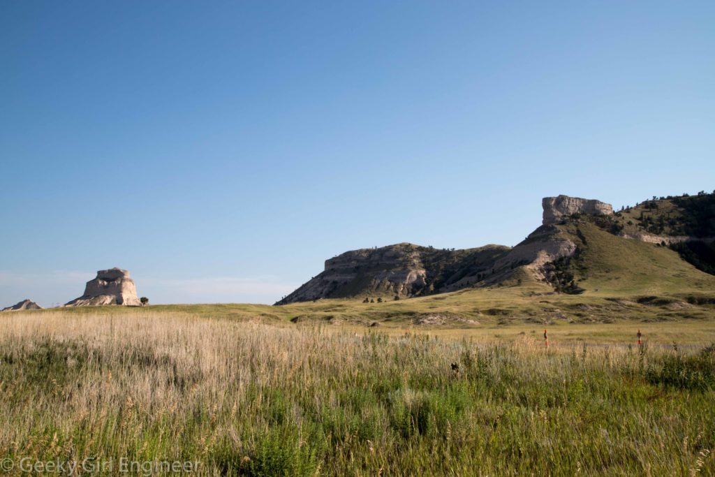
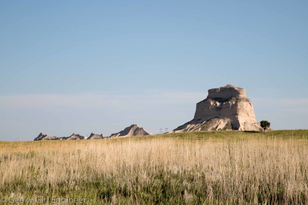
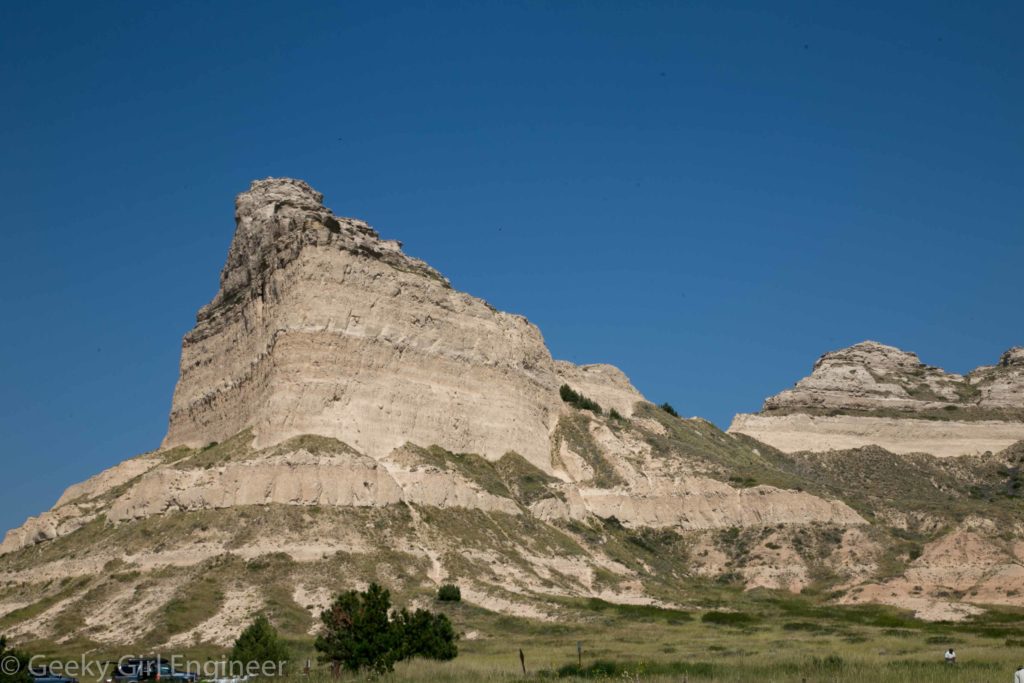
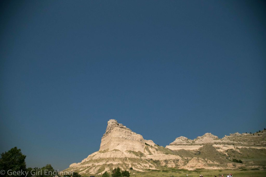
After visiting Minuteman Missile National Historic Site, I then drove on to Badlands National Park, which is right across the freeway. Badlands is just gorgeous. The formations are dramatic. In many places you can clearly see the different sedimentation layers, including different coloring of the layers. The different coloring layers adds to the drama and beauty of the landscape. When I was there, it was a clear blue sky, which contrasted with the landscape coloring. It was fun to photograph. There were no bad angles, only trying to figure out the best way to capture the beauty, even though no photograph can.
Minuteman Missile National Historic Site
Today started with a trip to a bit of a hidden site, Minuteman Missile National Historic Site. National Park Service offers tours of one of the launch control facilities that could launch the missiles sitting in underground silos. Above ground are the support facilities, which on the outside look a bit like a pre-fabricated house or some small commercial building. The underground launch control center was connected by cable to ten missile in underground silos that it could launch. The control center was also connected to other launch control centers that could launch its own missiles. I found the tour rather interesting, but I also found it somewhat unnerving. The visitor’s center has a nice exhibit about not only the site but also the arms race and the members of the military who worked at these sites. The visitor’s center also has information about close calls during the Cold War. I found it all scary. I also consider current events, and it still scares me.
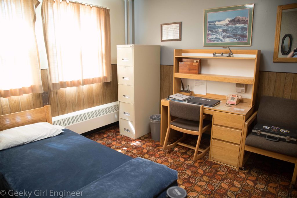
Inside, the above ground facilities pretty much resemble a dormitory. About the only way it differs from a dormitory is the security room, which is far more equipped than any college campus.
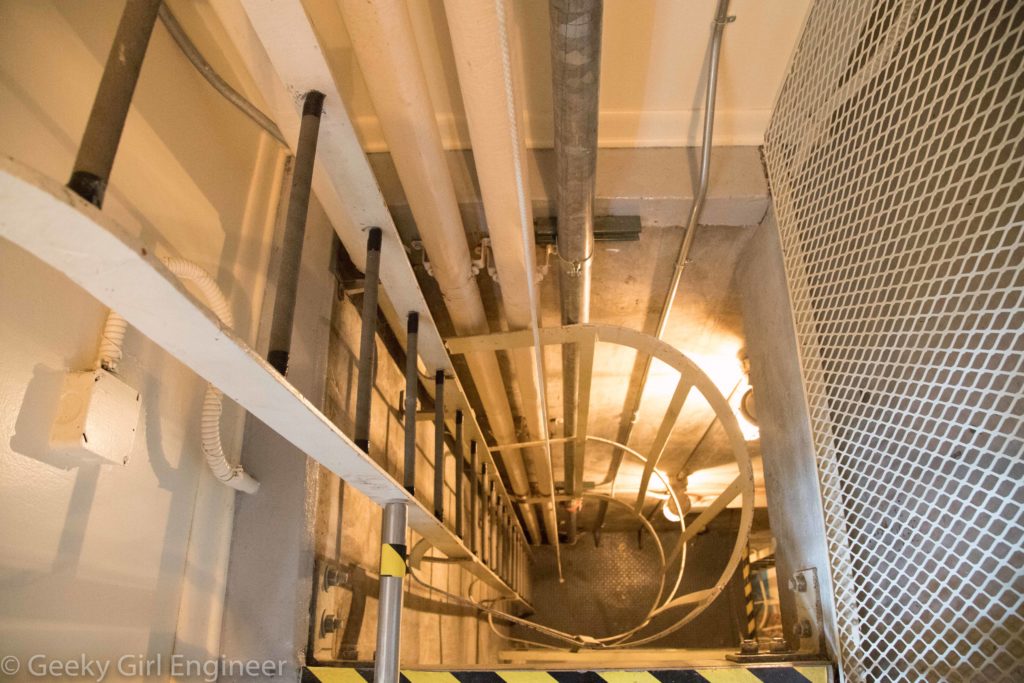
Through the security room is an elevator and ladder to the underground portion.
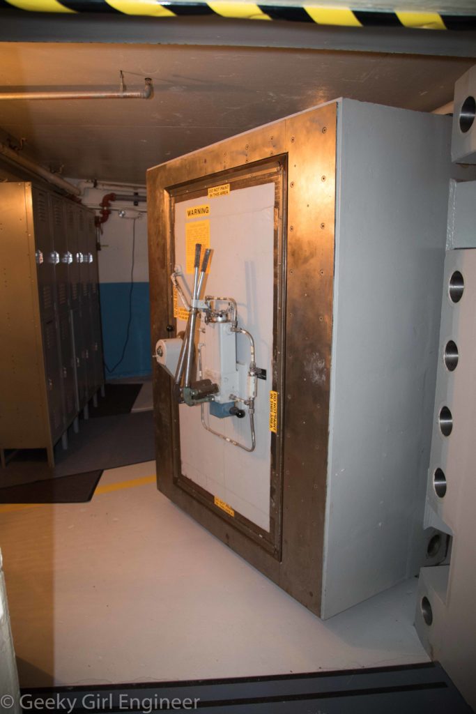
The underground portion consists of a small locker area that then leads to a giant steel door to the launch control center.
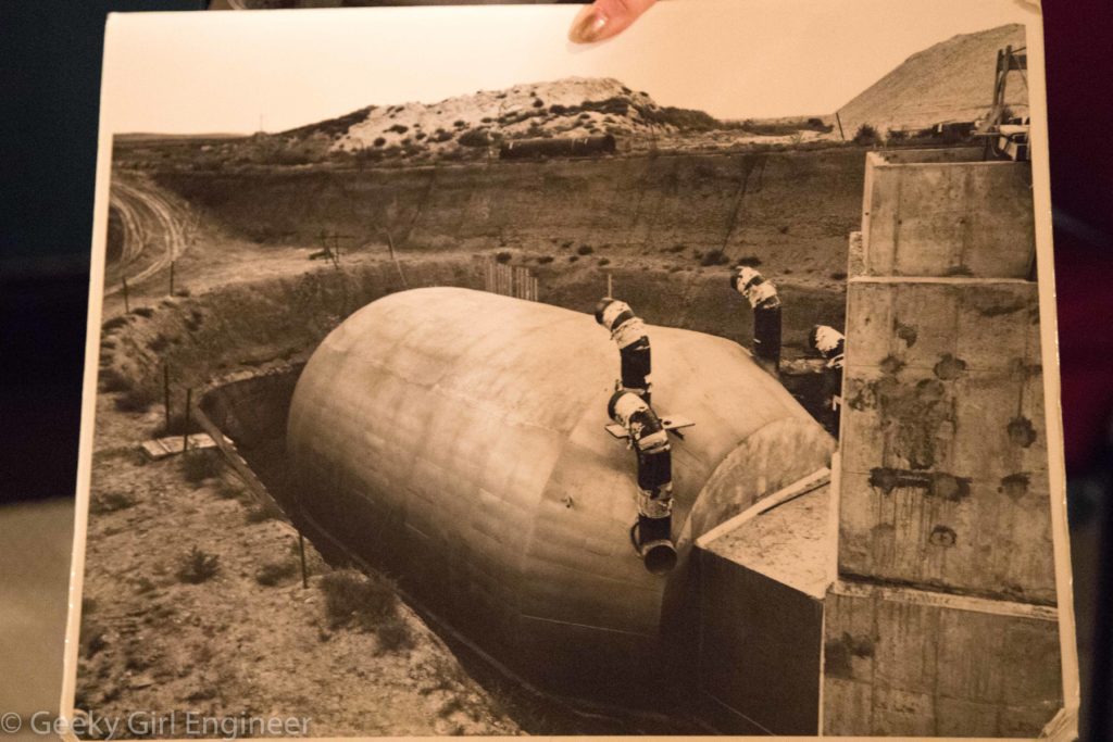
The launch control center is enclosed in a giant steel cylindrical container.
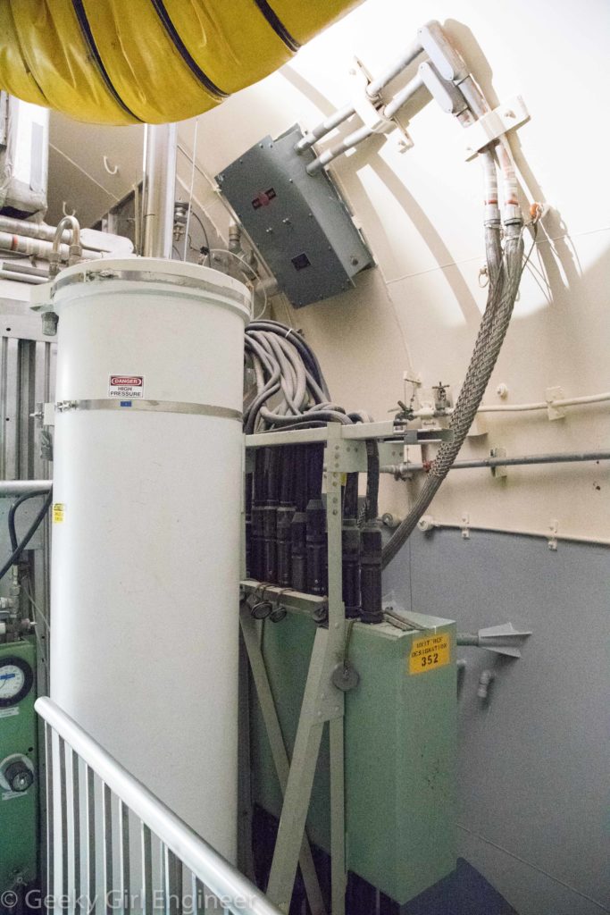
There are numerous support utilities connected to the launch control center. The center was made to withstand a nuclear blast, although not a direct hit. Numerous cables connects the center to the missiles it could launch as well as the command centers. It has support utilities like electricity and air.
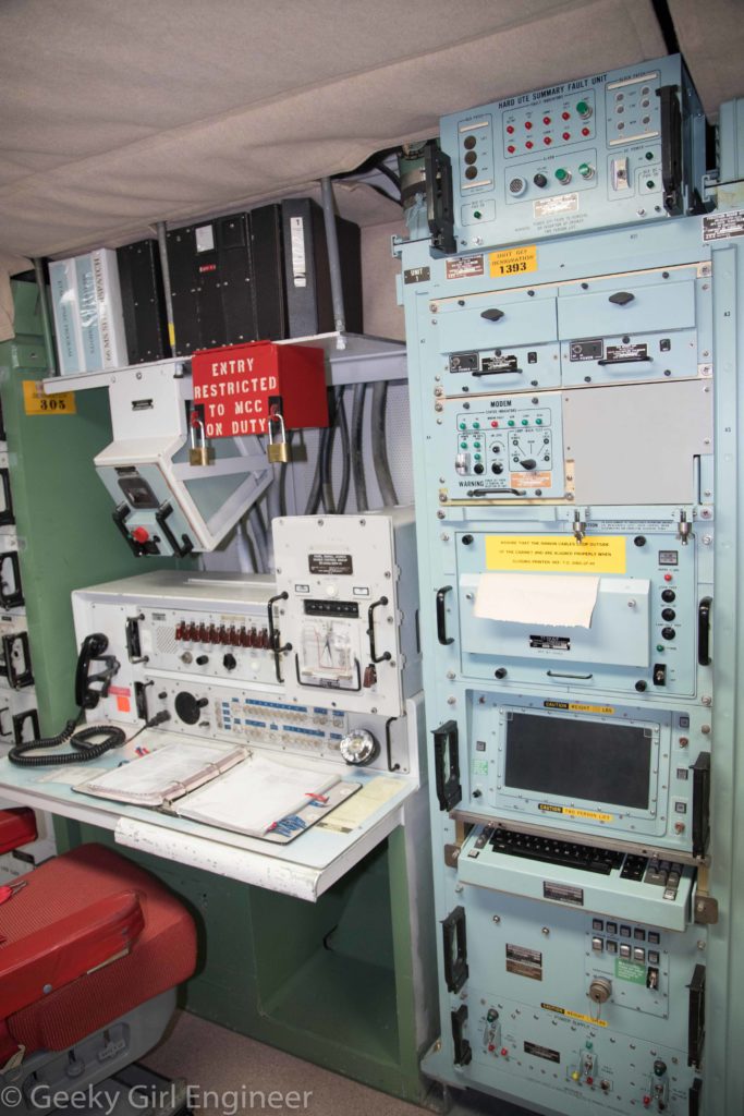
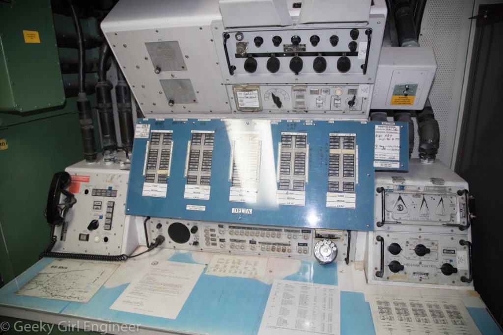
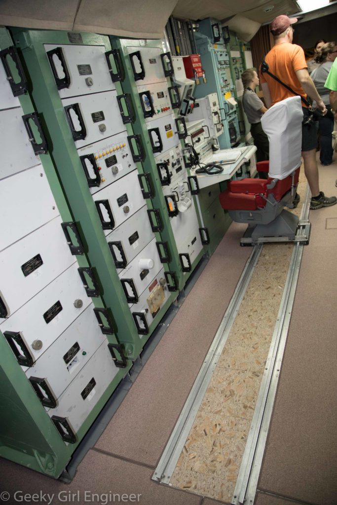
Inside is rather antiquated looking equipment that could have been used to start World War III.
Toadstool Geological Park
After the amazing event that was the total solar eclipse, I headed north to continue my trip. I stopped at Toadstool Geological Park along the way. The area is small badlands landscape with several formations said to resemble toadstools. It is a nice area to go do a little hiking, but it should be noted that to get there requires a long drive down a dirt road, which is not so nice.
Solar Eclipse
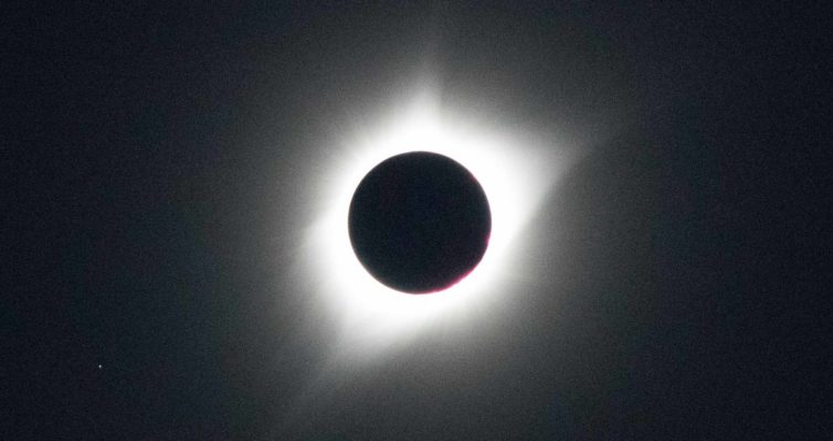
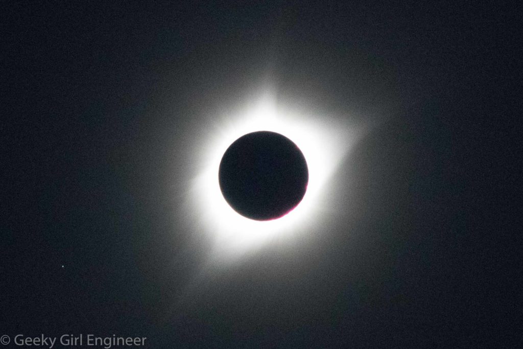
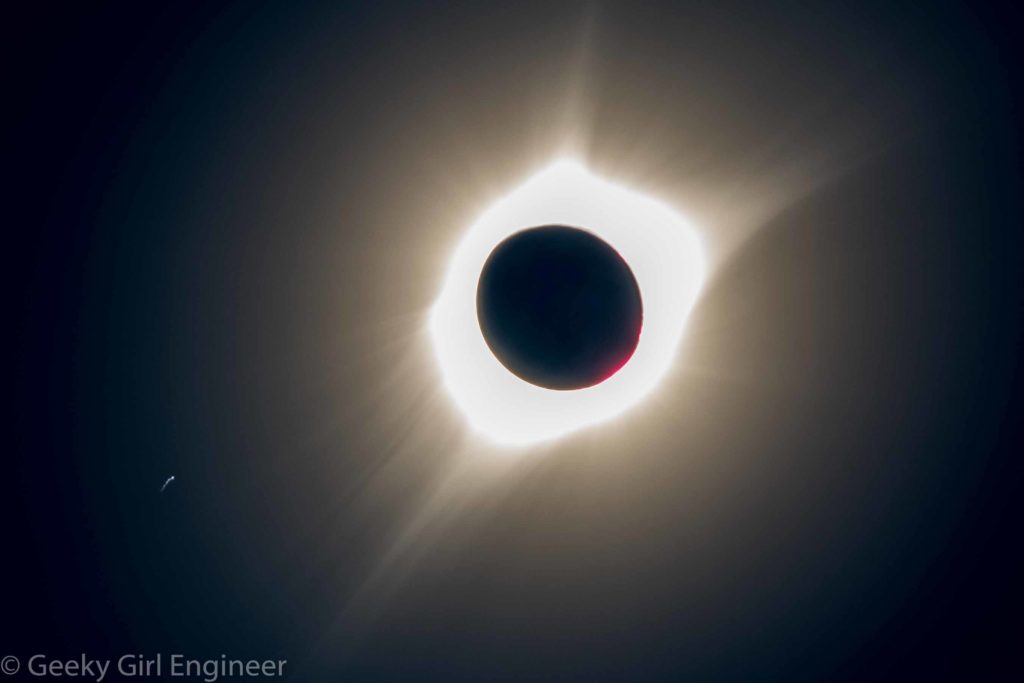
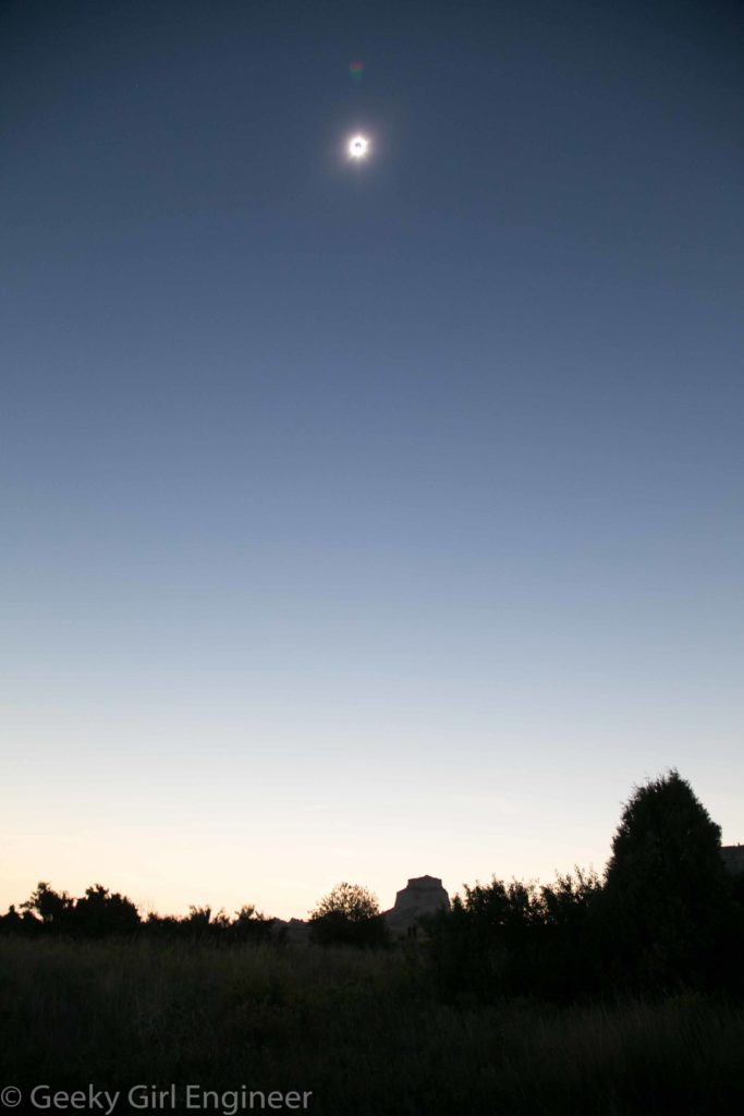
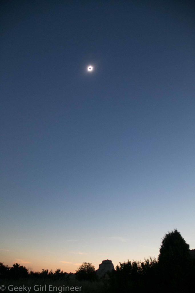
The solar eclipse is the main reason I came out west for vacation. I have seen a partial solar eclipse before, but never a total solar eclipse. It was like nothing I have ever experienced. Shortly before totality, the Sun got less glaring, and the temperature cooled a little. About ten minutes before totality, it seemed the entire world went sepia. I don’t think I can properly describe it really. Totality was just amazing. It was night and day at the same time.
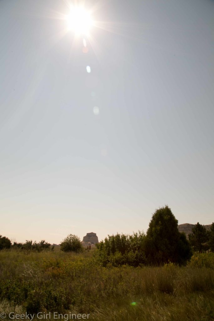
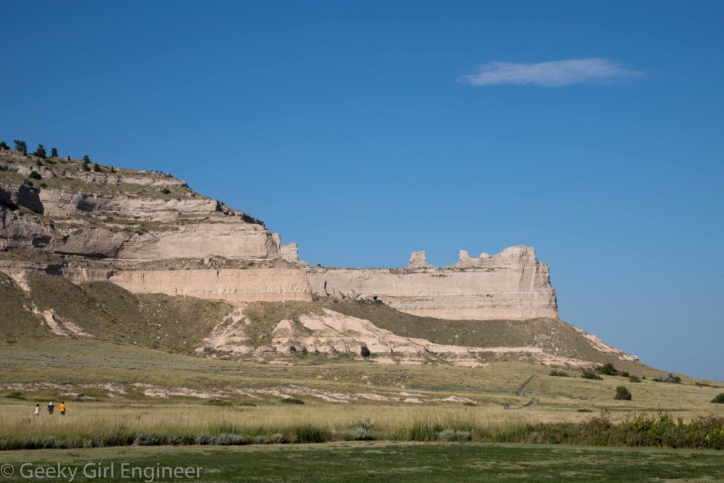
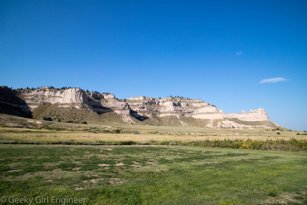
Edited to add: I viewed the solar eclipse at Scottsbluff National Monument. I really wanted some landscape photos with the beautiful topography of Scottsbluff. Unfortunately, because of the position of the Sun during the eclipse, I could only get a landscape photos, shot in portrait. However, I still got a few only not with some of the really pretty cliffs.
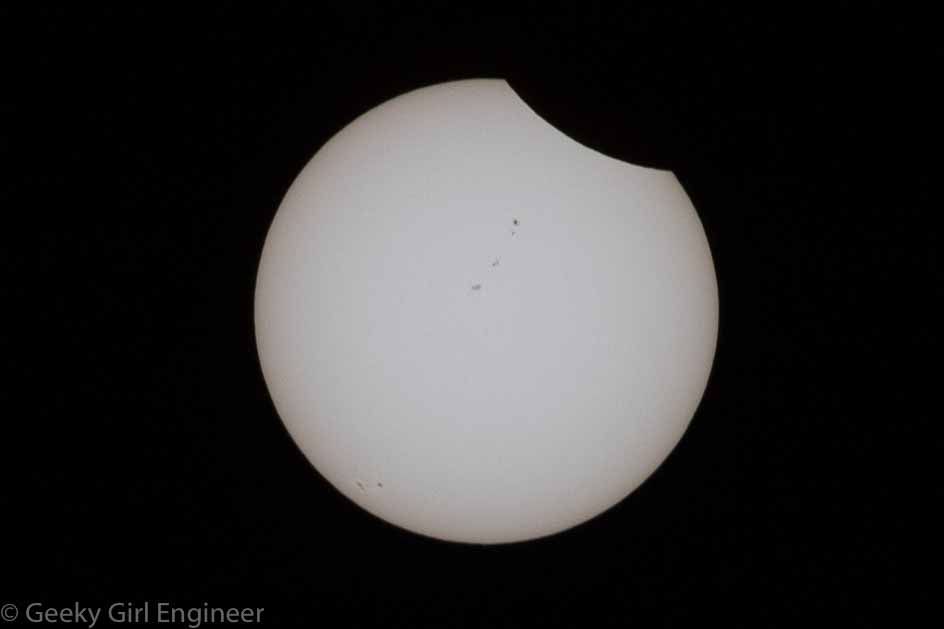
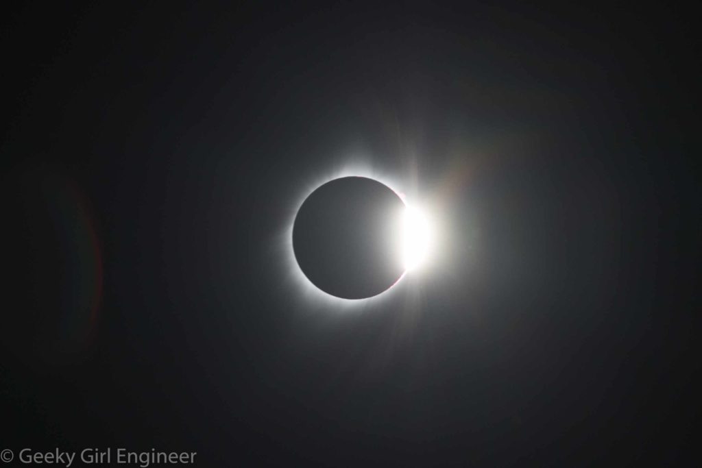
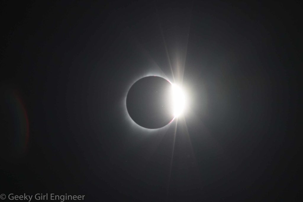
Below are some of my photos, and then at the end is a video slideshow of my photos. For the photography types, all the zoomed in photos of the Sun were taken with my Canon 6D Mark II with my Cannon EF 70-300mm zoom lens, zoomed in to 300 mm with a Formatt 67mm Firecrest Neutral Density 5.4 Solar Eclipse Filter. All landscape shots were taken with my Canon 6D with my Canon EF 24-105 mm lens. I had a timer on the camera for the zoomed in photos to take a photo every minute. I had to readjust the tripod the camera was on about every 5 shots due to the Sun moving. Hence, I ended up missing a few shots when the Sun moved out of focusing area before I could adjust the tripod.
The photo below shows the Moon just starting to obscure the Sun, but more importantly, those are not flaws on the photo. Those are sun spots.
During totality, I had to quickly get the solar filter off. I then got a few photos right as the Sun reemerged before I got the solar filter back on.
Also, a few landscape photos.
Finally a video slideshow of all the zoomed in photos.
Scottsbluff National Monument
I went to Scottsbluff National Monument yesterday mostly to do reconnaissance for the eclipse. That was were I wanted to view the eclipse, so I wanted to check out the area and find out details of parking and opening and such. The area is beautiful. I always though of Nebraska as flat plains, but the western side at least is not. The topography of Scottsbluff is lovely, interesting, and definitely not a flat plain. I did end up viewing the eclipse at there, so a few of the below photos are from yesterday and a few from today. The last one is right before totality.
Cheyenne
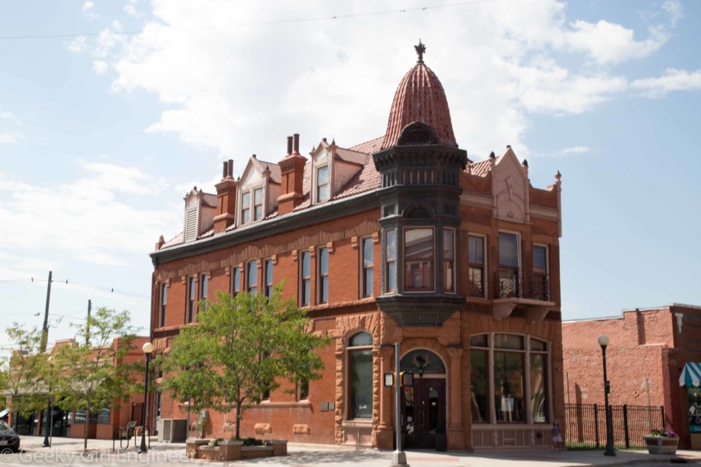
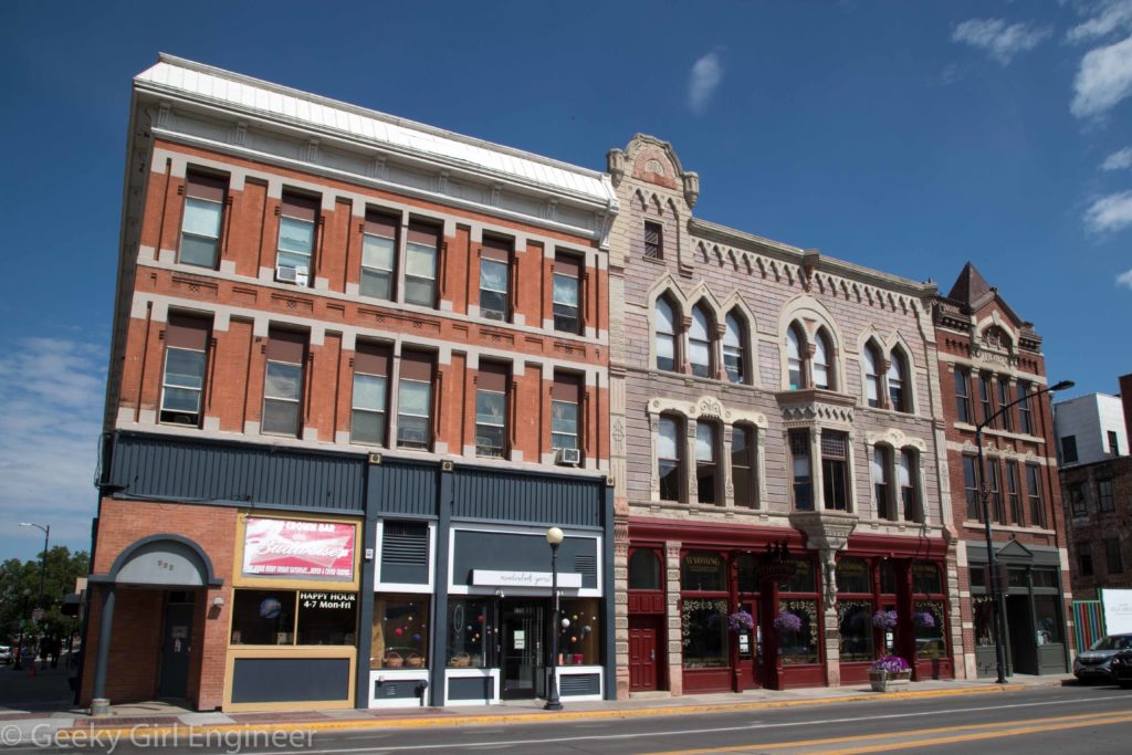
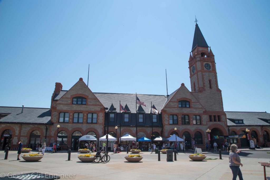
I spent the night in Colorado, and then it was time to head off to Nebraska to prepare for the eclipse. I stopped in Cheyenne along the way. My initial intention was to walk around a little and see the Cheyenne Depot because I love trains. They also just happened to have an arts festival going on right when so many people were traveling through for the eclipse. Kudos to Cheyenne for timing their arts festival with a day of so much traffic. In any event, Cheyenne is a cute town with many old buildings that are neat to see.
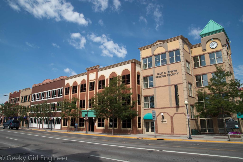
I took a photo of this building, not because it is old because it clearly is not. However I was really impressed with how they made one big parking garage look like several buildings that would fit the architecture of downtown.
Rocky Mountain National Park
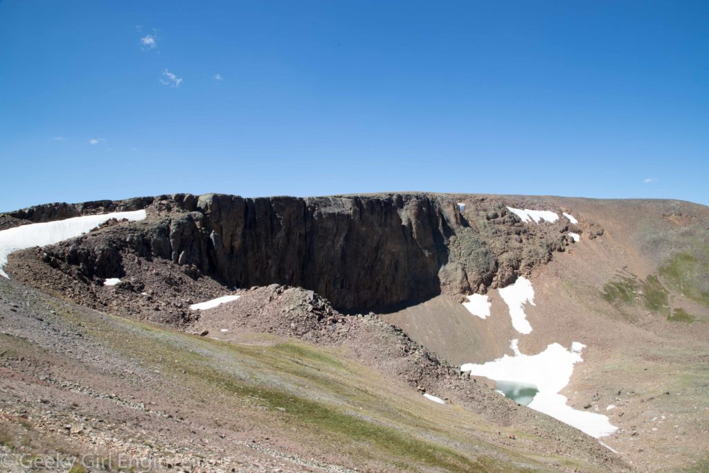
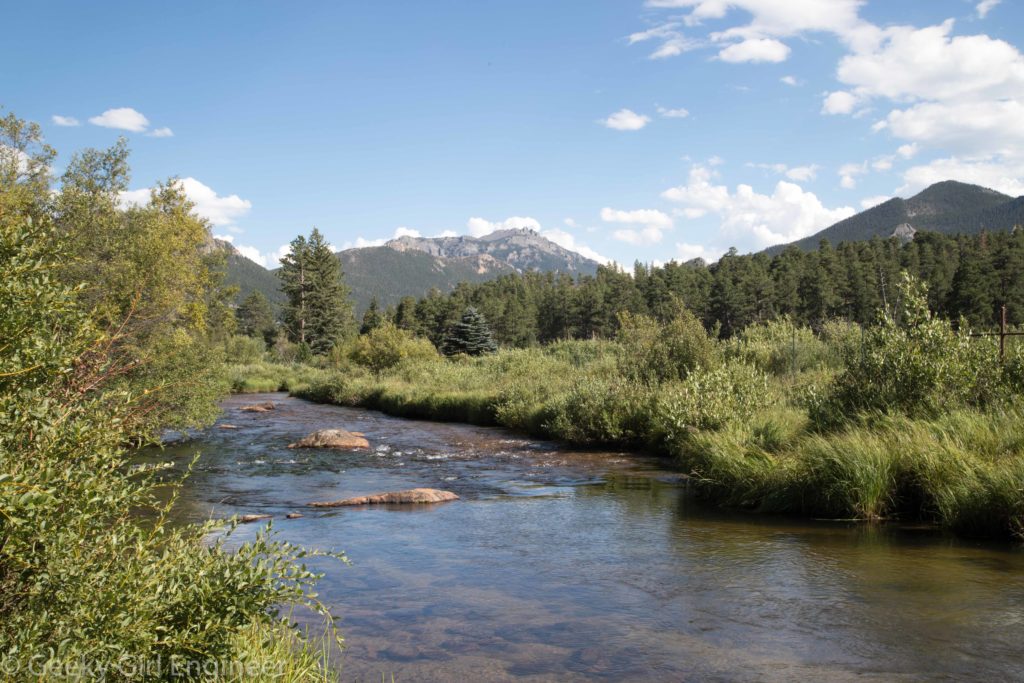
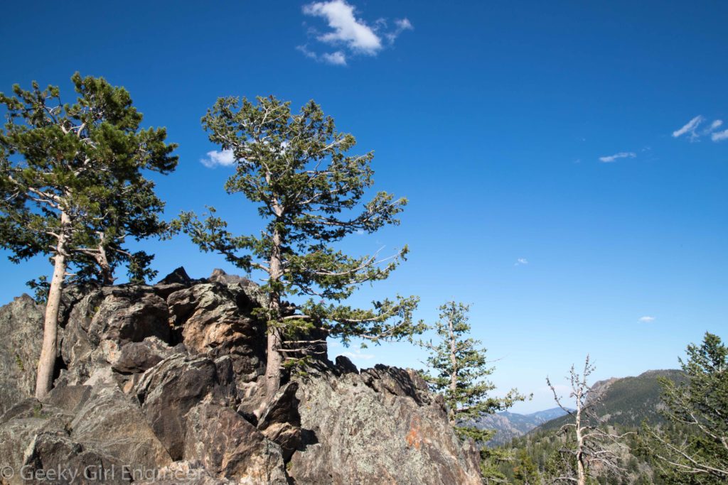
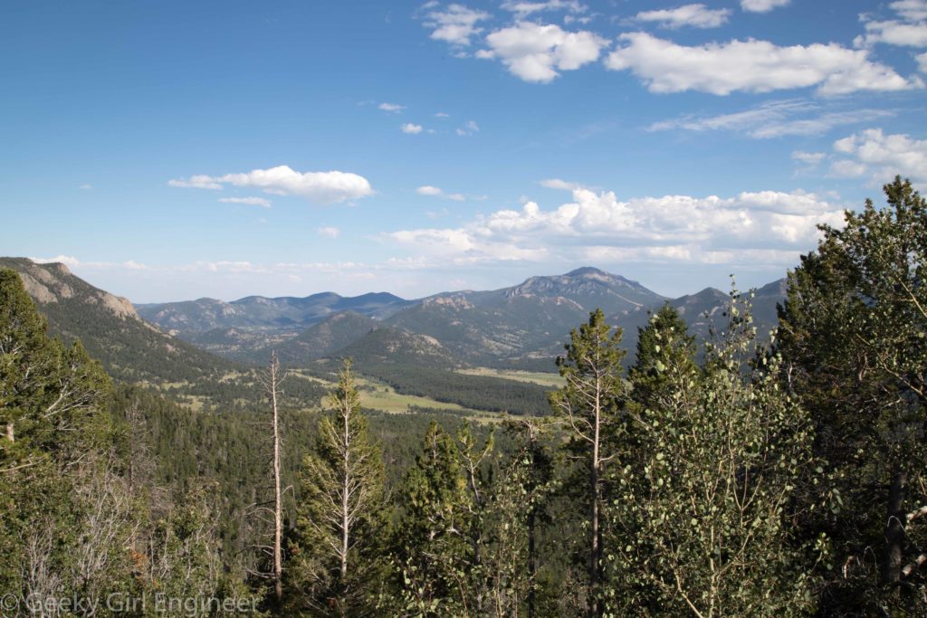
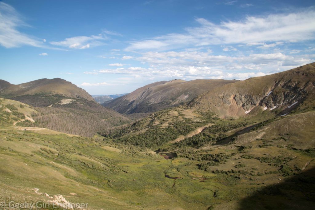
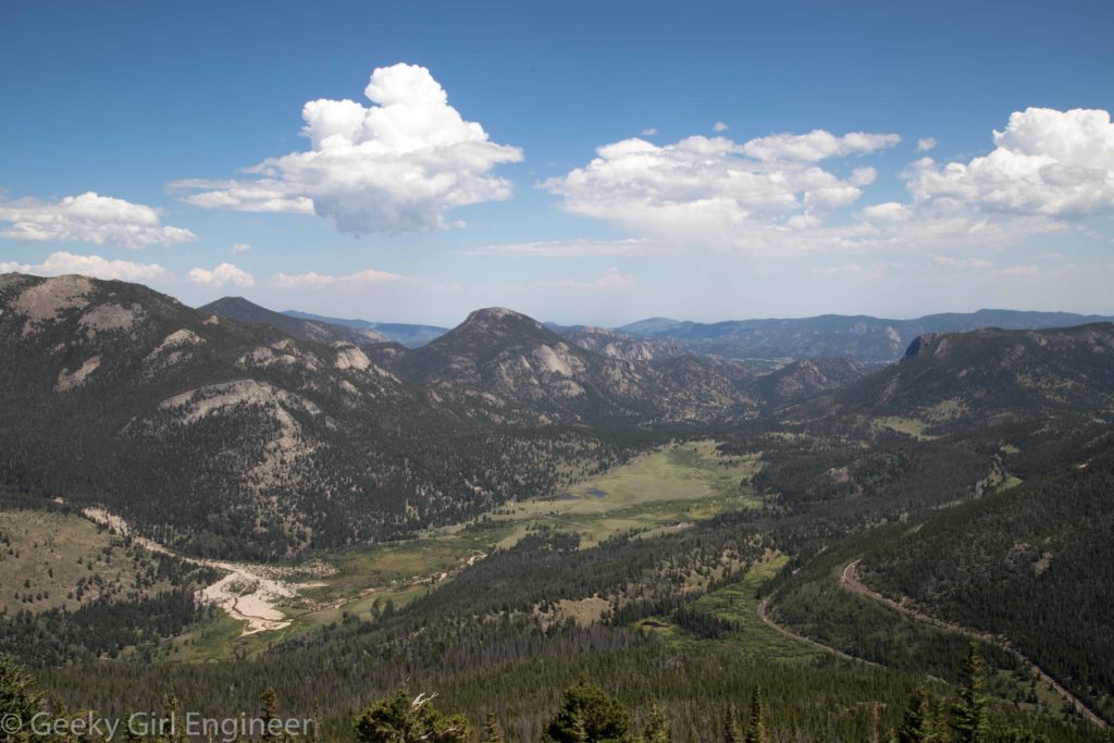
I arrived in Denver by train and immediately got hit with altitude issues. I don’t get altitude sickness exactly, but I do get winded when I have no time to adjust. Along my way north, I stopped at Rocky Mountain National Park. Unfortunately, because it was even higher, I could not do any hiking as I was just getting hit too hard by the altitude. Instead, I spent an enjoyable afternoon driving around and looking from the outlooks. One part of the park that I thought was special was how evident the tree line was. As the road approaches the highest part of the park, there are signs noting that you are entering an alpine environment, which is a sensitive ecosystem. The views are lovely.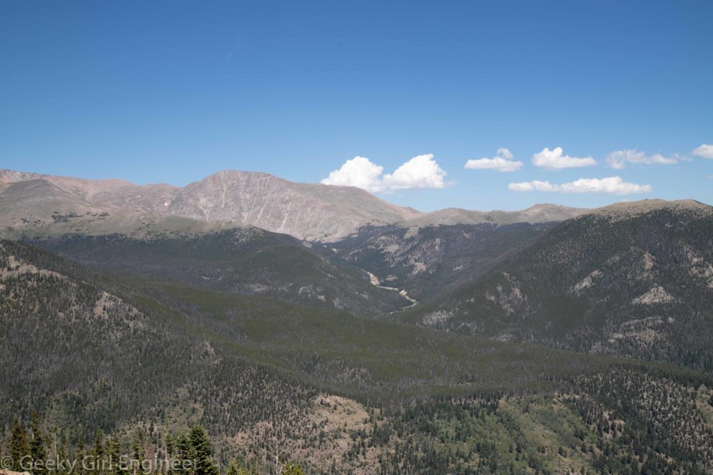
California Zephyr
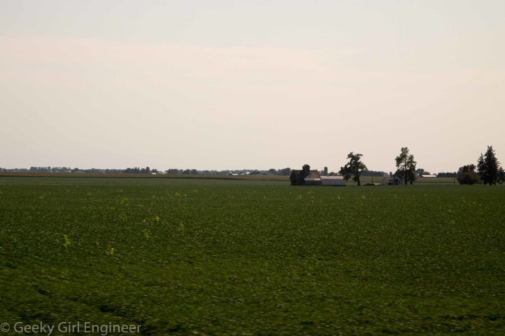
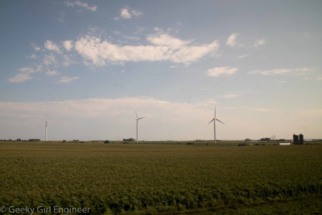
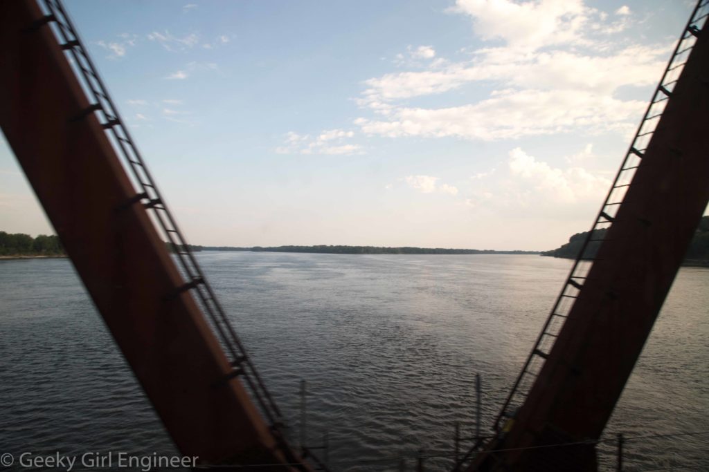
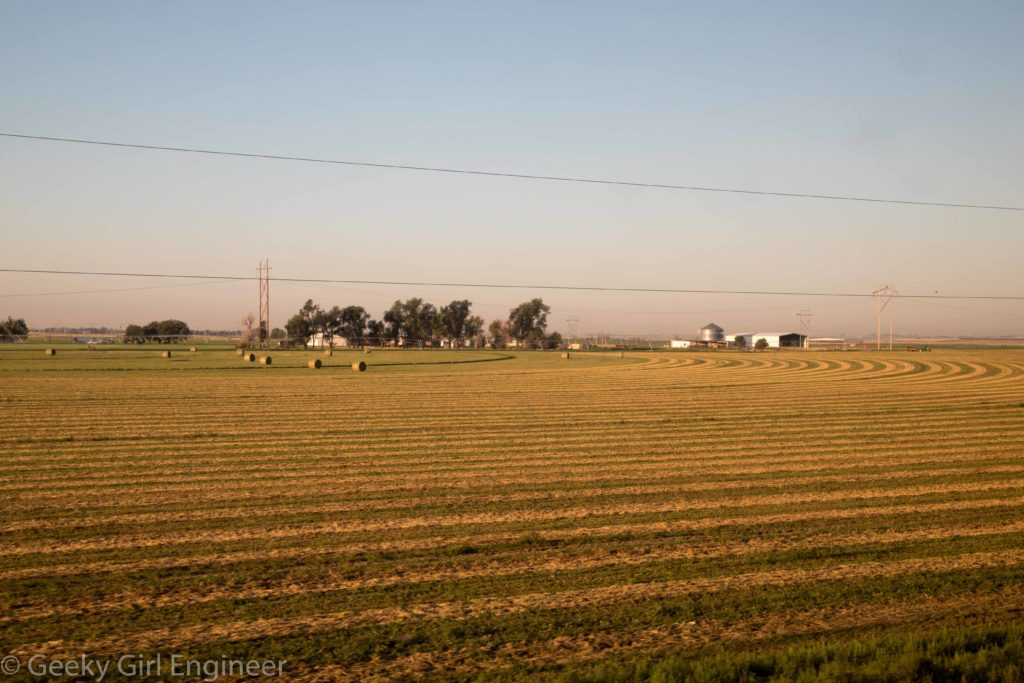
I’m traveling to the west, and I decided to take the train. I took the California Zephyr from Chicago to Denver. I have heard if you take this train past Denver through the Rocky Mountains, it is one of the most beautiful train rides in the US. However that is a ride for another day. There is something very relaxing about taking the train and just staring out at the countryside. A few photos of the view are below. Not my greatest photos, but you try taking good photos through the dirty window of a fast moving train.
Chicago Architecture River Cruise
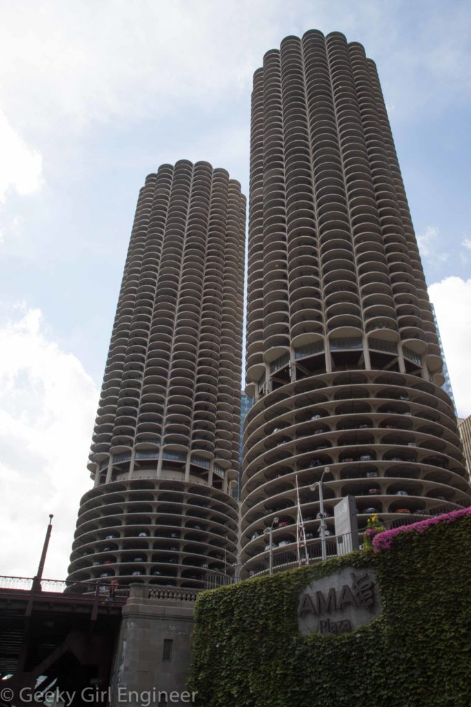
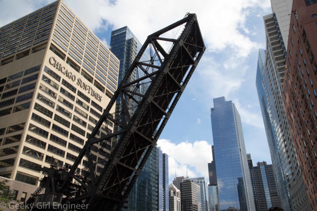
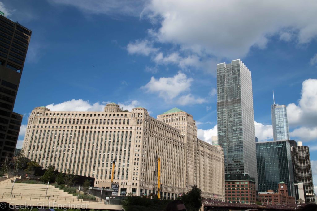
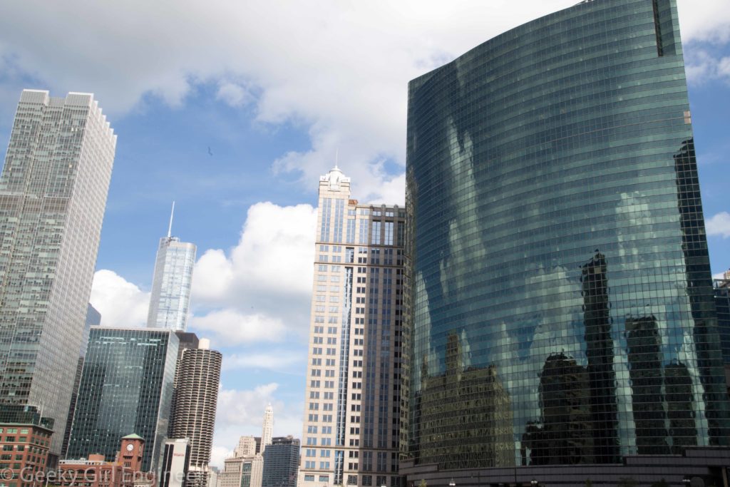
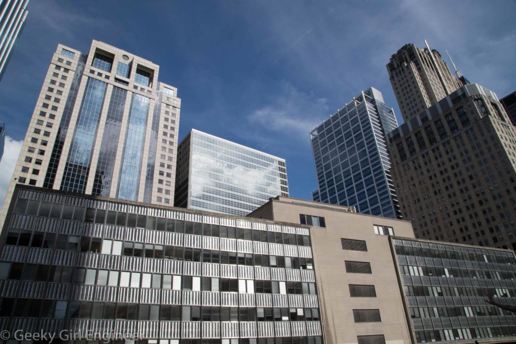
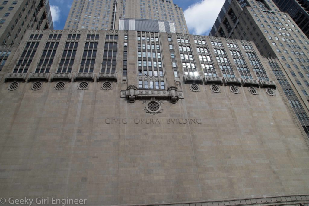
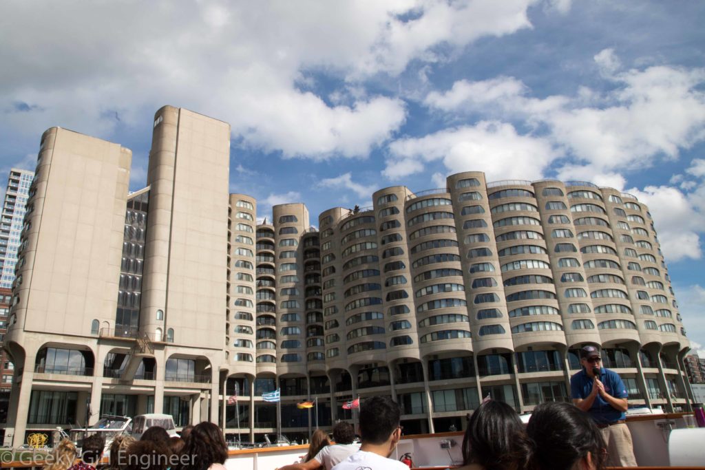
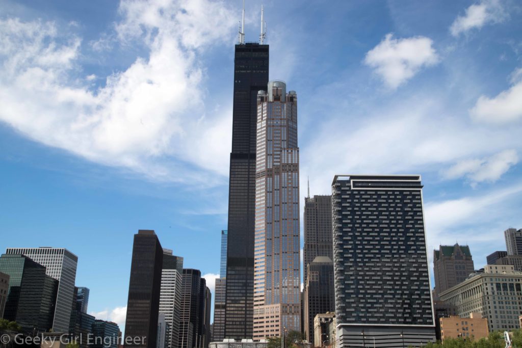
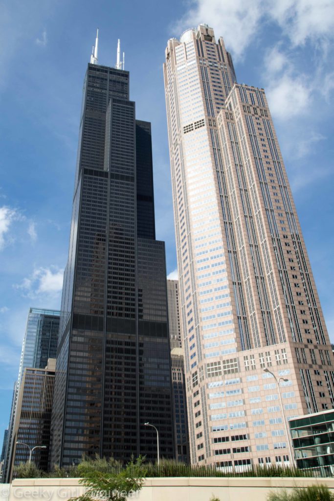
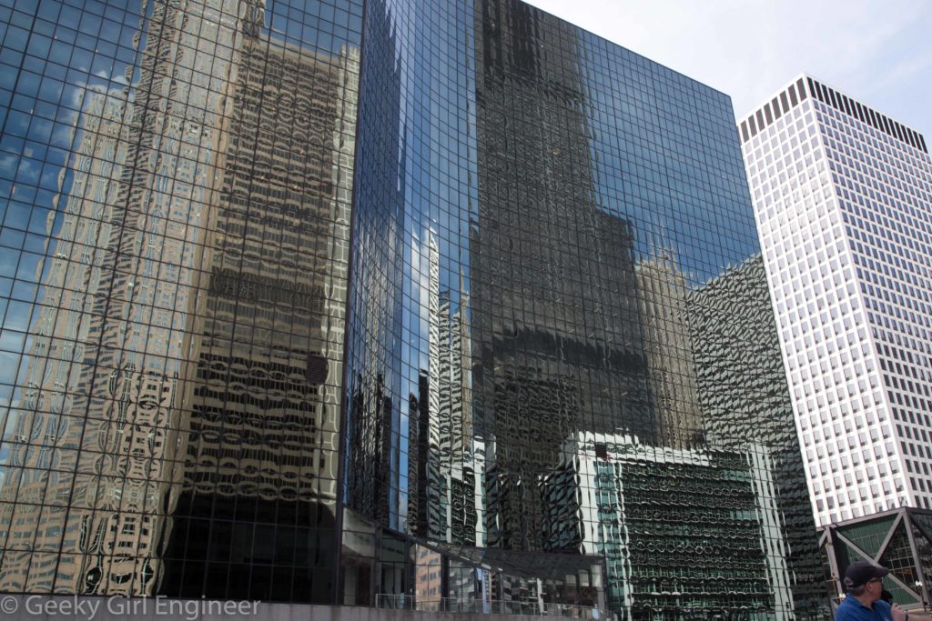
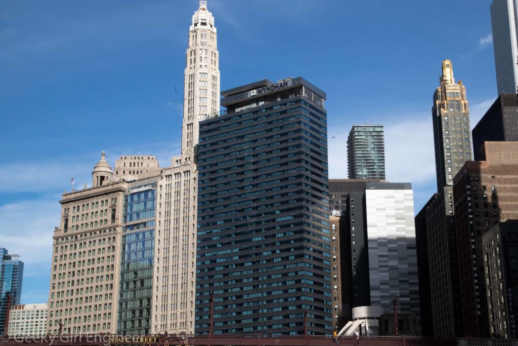
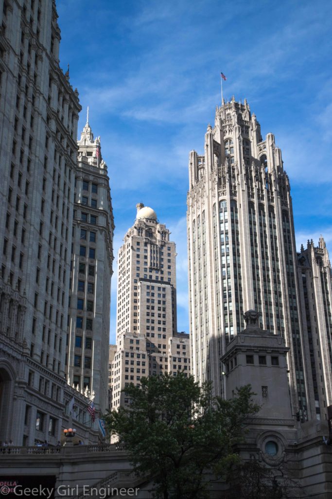
I’m traveling to the west for the solar eclipse and vacation, and I decided to take the train. I had to change trains in Chicago, so I decided to spend the night and have some time to explore Chicago. I decided to start with a river cruise focusing on the architecture. Like most old and big cities, Chicago has a lovely mix of old and new buildings. It has classic old stone buildings, modern buildings (as in the modern architecture era), post-modern buildings, and whatever era we are in now. I am also curious about the engineering that must have gone into many of the buildings as they were built right on the river’s banks. A cruise on its rivers is a great way to see some of them. A few photos I took are below.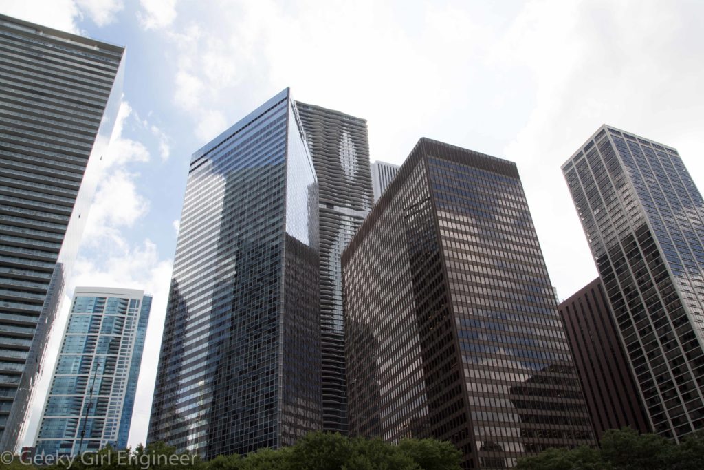
NYC’s Lexington Avenue–63rd Street station
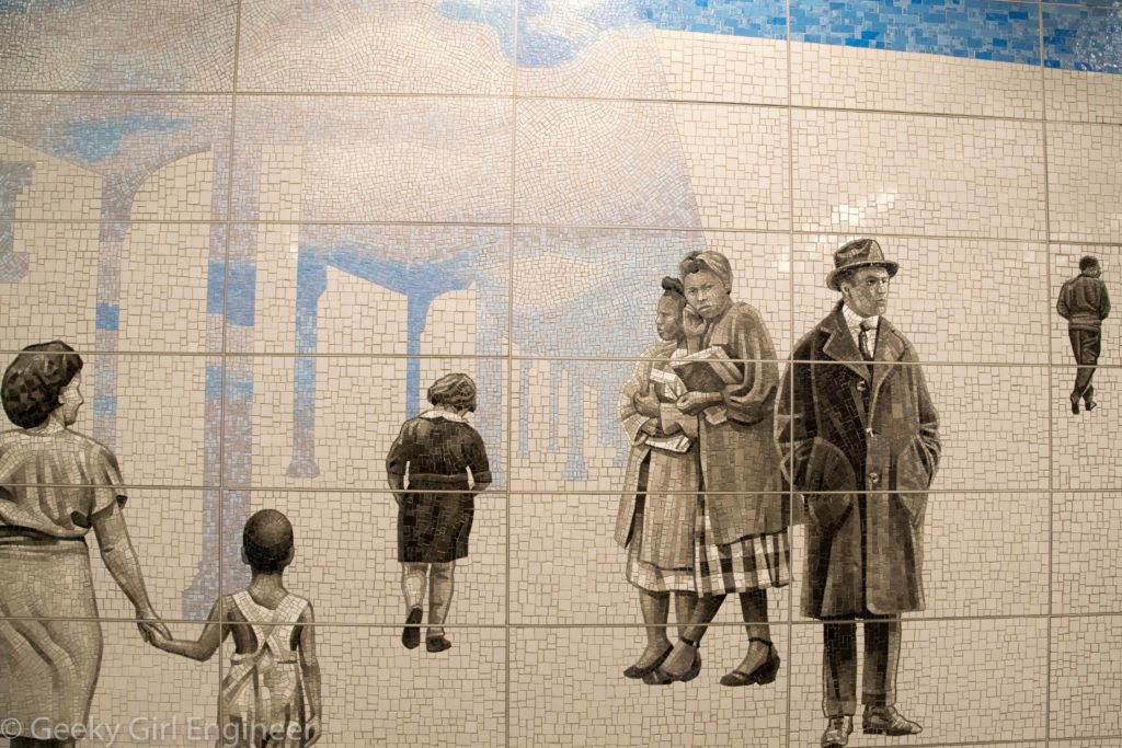
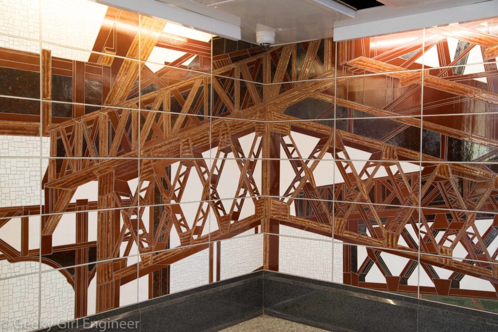
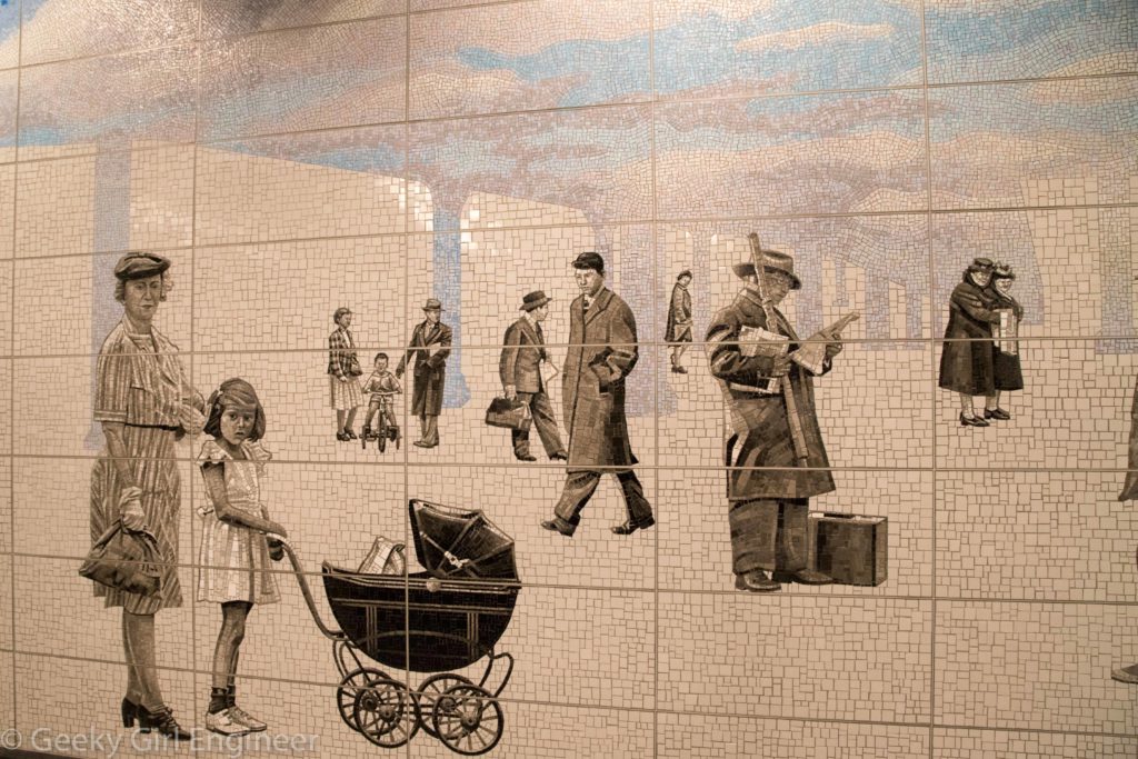
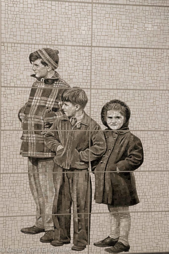
I took a tour with the New York Transit Museum of the artwork in the new Q-train stations. The artwork are all mosaics, but they are they are not all the same type of mosaic. This is the fourth of four blog entries to show some of the amazing mosaics.
The Lexington Avenue–63rd Street station is an expansion of an old station. The new area features mosaics by Jean Shin entitled “Elevated.” The mosaics are based on archival photos of the area. Some of the mosaics show people with a blue sky in the shape of the elevated train tracks that were removed decades ago to show how the sky opened up when the elevated was removed. At one of the entrances to the subway, the mosaic portrays the old elevated with all its steel beams and piers.

