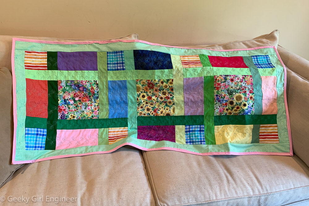
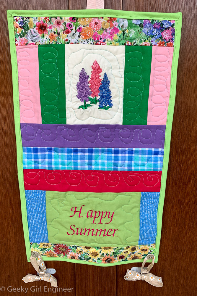
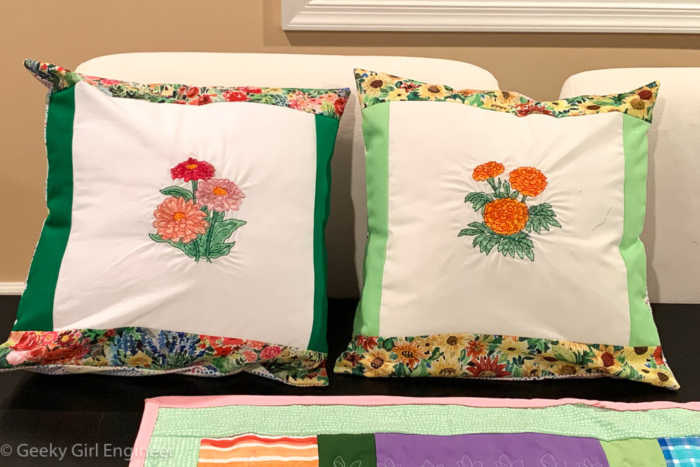
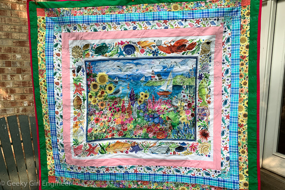
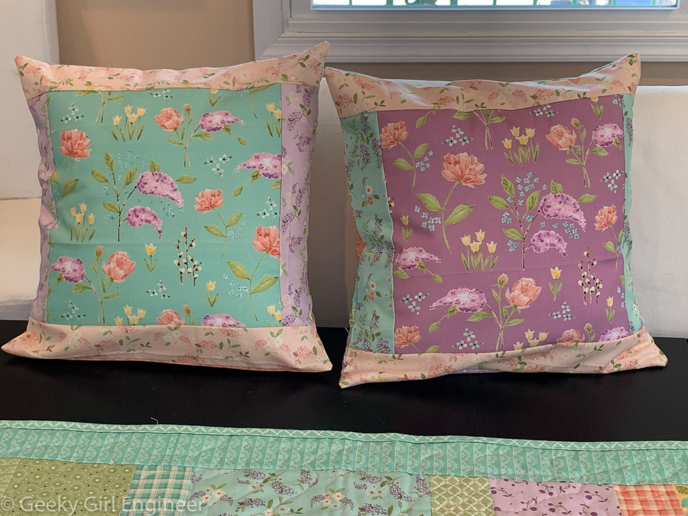
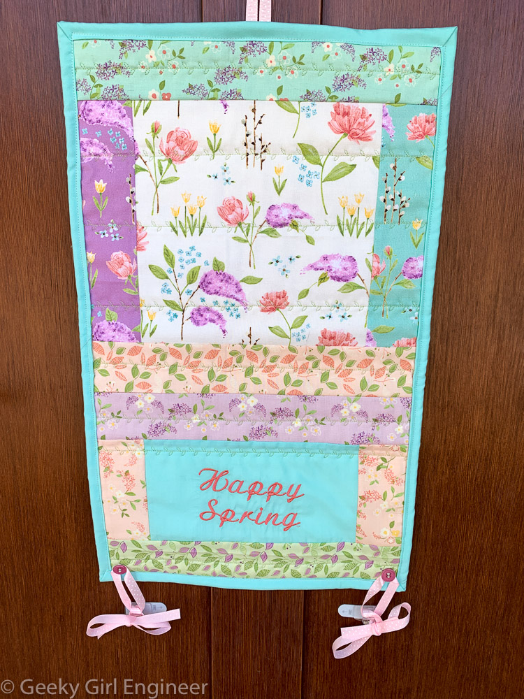
As soon as I saw August Wren’s “Chasing the Sun” fabric collection for Dear Stella, especially the panel print, I knew I had to make a quilt with it. The flower prints were also perfect for some nice summer themed table runners and other home decorations. I continued my habit of making a table runner for the dining room table and also buffet. I also made coordinating pillows for my living room and a front door hanger. All of this matches the wonderful throw blanket with the gorgeous panel.
Author Archives: geek
Old Quebec City
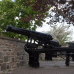
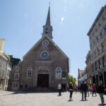
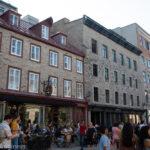
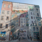
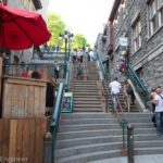
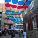
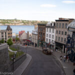
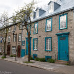
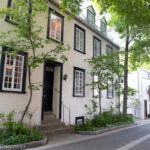
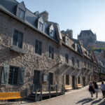
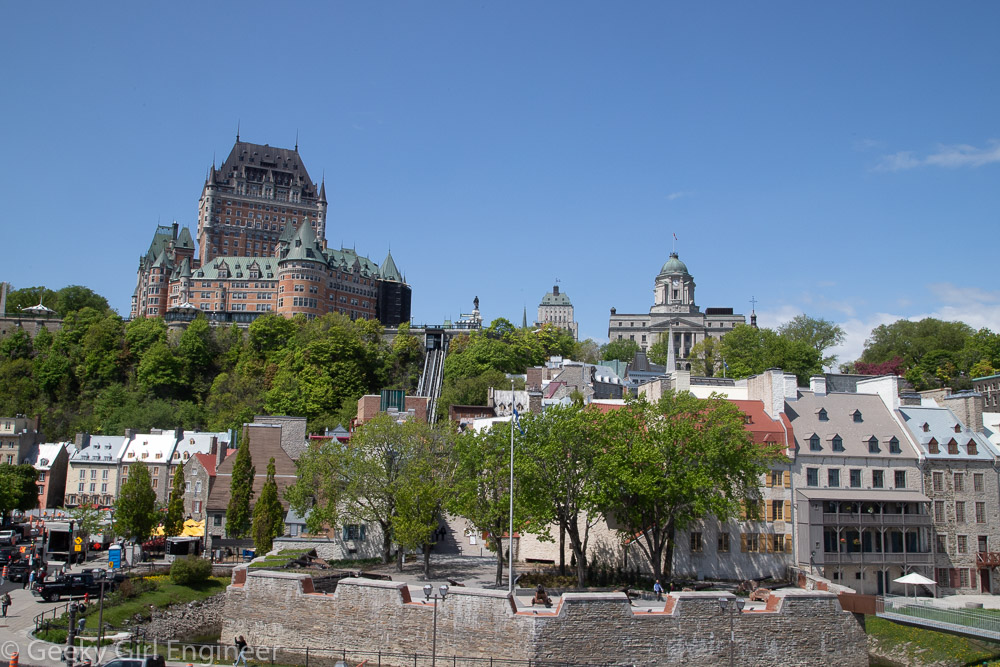
I have been in old Quebec City for three full days, and it has been a lovely visit. Old Quebec is compact and walkable with the exception of the fact that old Quebec is really just a series of stairs and slopes. Thus something may be just four blocks away, but it is also the equivalent of eight stories higher, so plan accordingly. The old town is surrounded by its original fortification walls, with a citadel at the highest point. Many of the streets are cobblestone, and most of the buildings are clearly original.
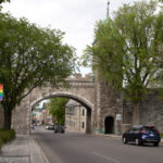
- St. Louis Gate
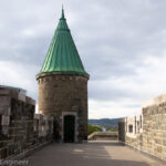
- St. John Gate
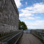
- Governor’s Promenade
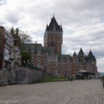
- Dufferin Terrace and Fairmont Le Château Frontenac
- Rue des Remparts
- Place Royale and Notre Dame Des Victoires
- Place Royal, the first column of windows on the second building are just openings, as there is a staircase hidden in that section of the building connecting to the street behind
- Quebec City Mural
- Breakneck Steps
- Umbrella Alley
- Côte de la Montagne, view from Prescott Gate
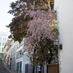
- Residential buildings
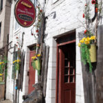
- La Chasse-Galerie Boutique
- Parc Couillard
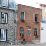
- Residential buildings
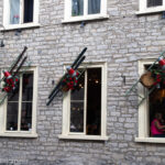
- Restaurant with decorated windows
- Residential buildings (possibly B&B) on Rle des Ursulines
- Rue Sous-le-Fort
Montmorency Falls
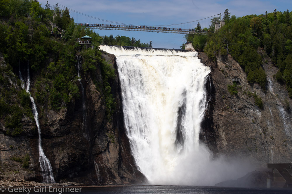
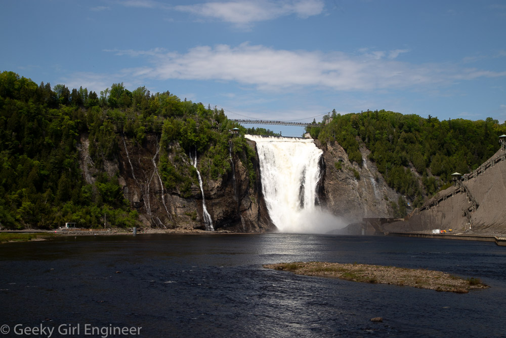
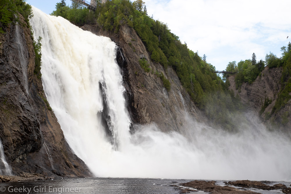
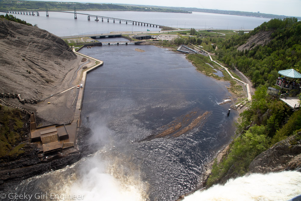
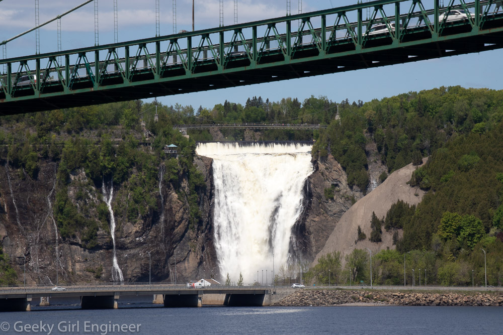
Just outside of Old Quebec City, (as in 15 minutes by car or 40 minutes by public bus), is Montmorency Falls, or Chute Montmorency, which I prefer. The falls are beautiful, and there is a park around it. There is a pedestrian bridge across the top of the falls, and a cable car from the top to the bottom. There are boardwalks at the bottom, and they appear to be building more or possibly renovating the old ones, as currently you can only access one side plus a boardwalk across the river at the base of the falls.
Québec City Sightseeing Cruise
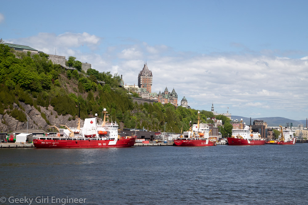
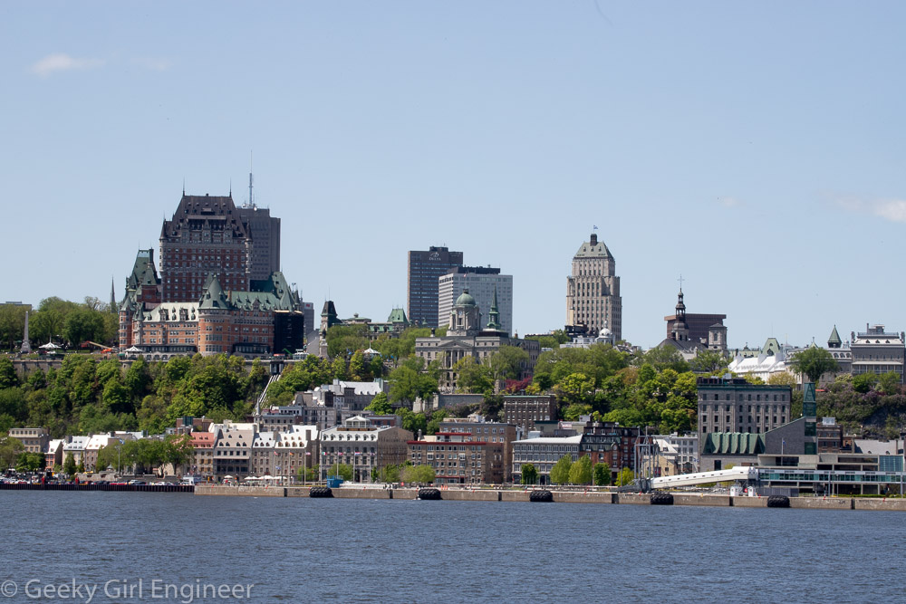
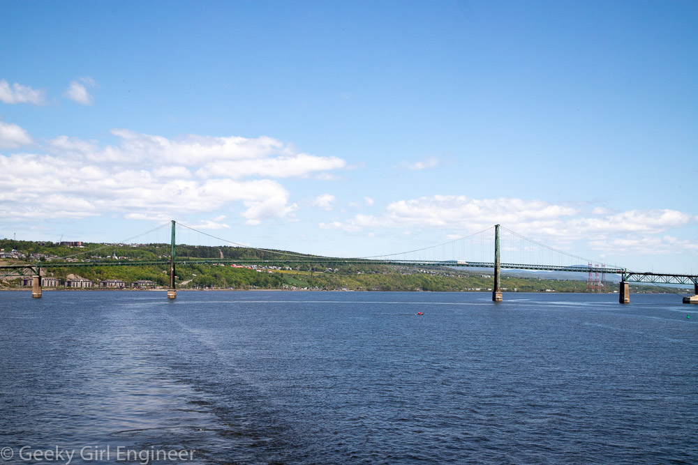
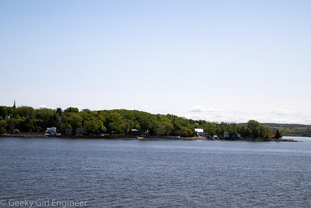
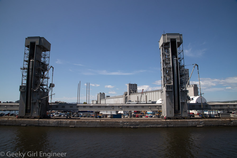
Québec City (Ville de Québec) sits on the St. Lawrence River, which is (surprisingly to me) a huge river. A company offers short sightseeing cruises along the river that go as far as the bridge to Orleans Island (l’Ile d’Orleans). Right where the boat turns around, you can get pretty good views of Montmorency Falls (la chute Montmorency). [My knowledge of French is pretty much limited to words from ballet and Louisiana and words that are similar to my rudimentary Spanish and Latin knowledge. I am starting to enjoy specific French words like “chute.”] The cruise also provided lovely views of the port of Québec City (Port de Québec), l’Ile d’Orleans, and Lévis, which is across the river from Québec.
National Assembly of Quebec
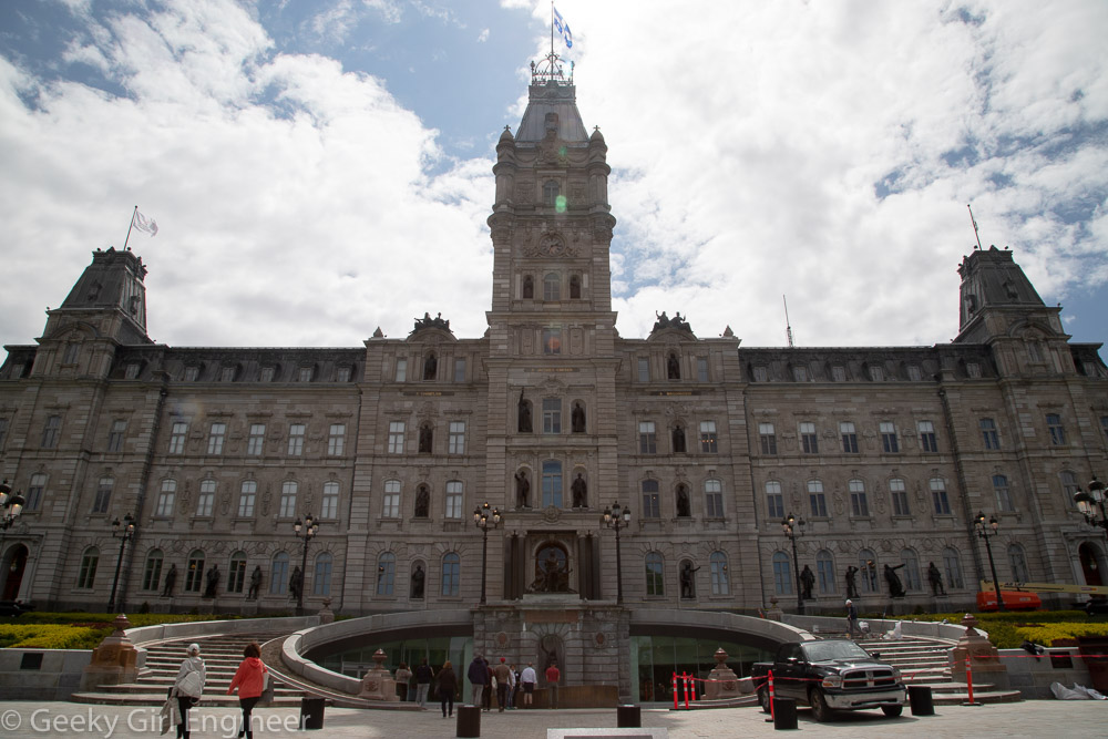
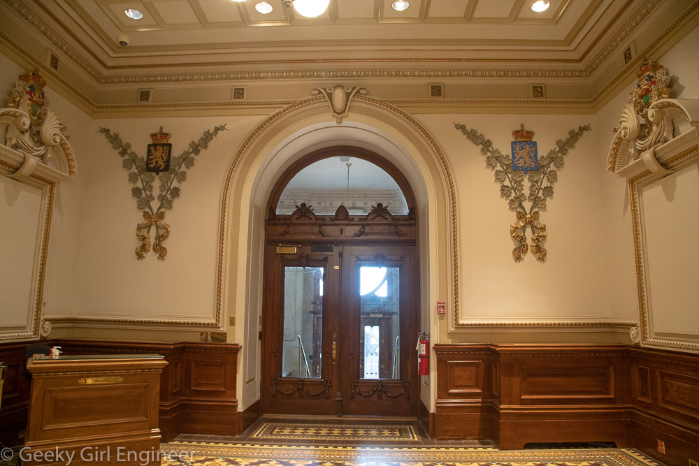
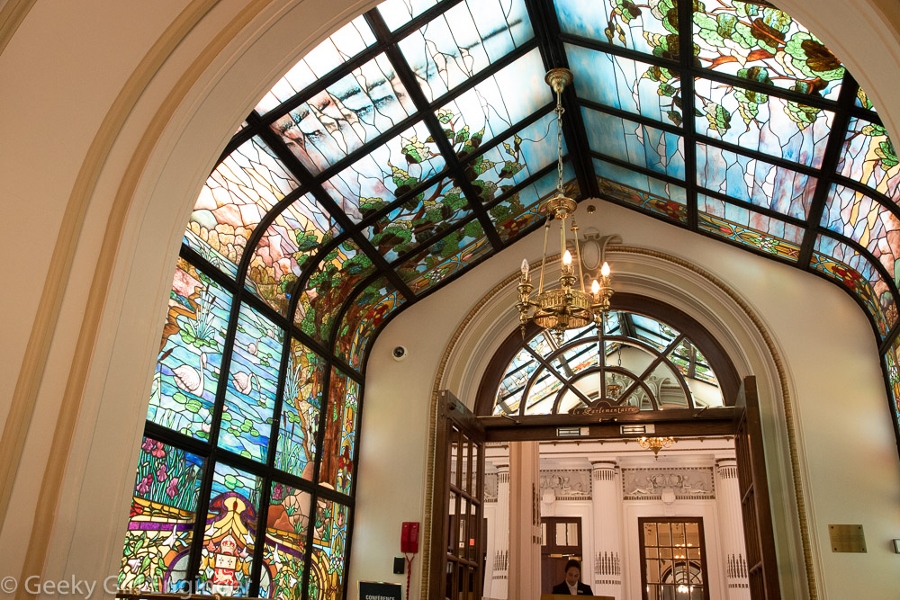
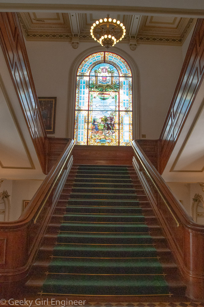
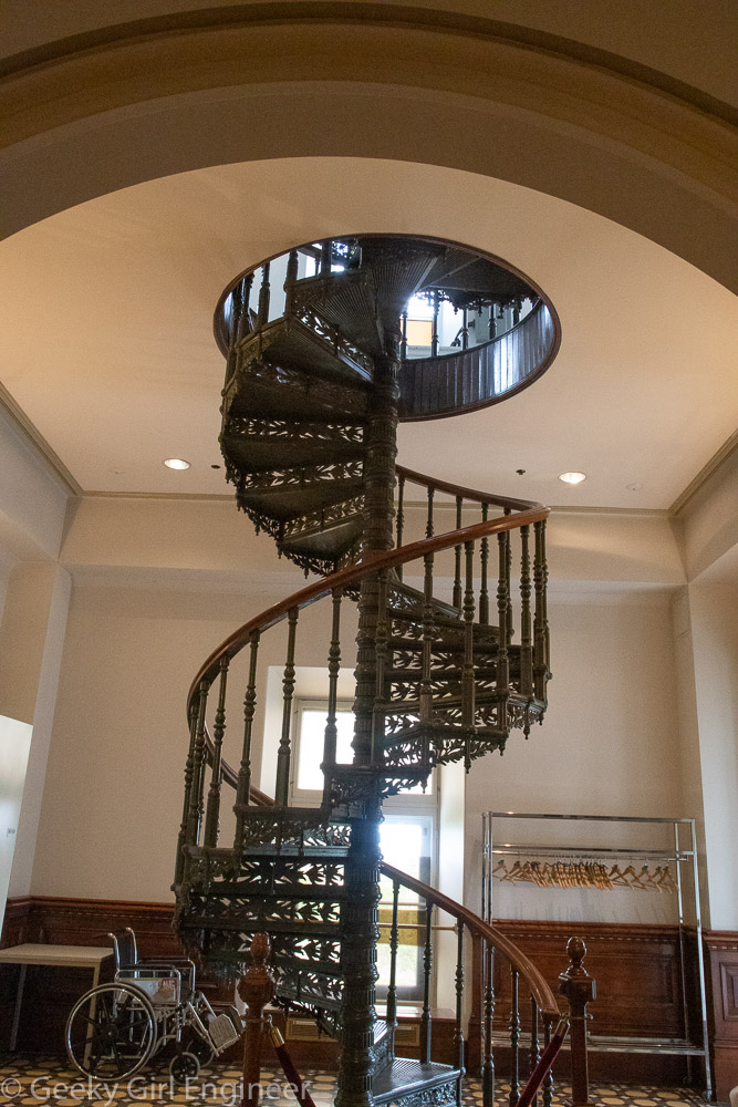
I have noted before that I want to see all the U.S. state capitols. I am in Quebec, so I decided to see its provincial capitol and add that to my list. They call their capitol the National Assembly of Quebec. It consists of one chamber. They used to also have the Legislature Council, which was akin to the British House of Lords. I am sure it was explained on the tour why and when they got rid of it, but I missed it. In any event, the current capitol is the fourth one. I have noticed a theme with U.S. state capitols that they are not in the original buildings. In many cases, they need a bigger building, but in many cases, the capitol burned down. Quebec has a combination of those reasons. The first one was too small, and the second and third buildings burned down. The current building also was a bit too small evidently as they added onto it. We only saw a small portion of the building, and the new entrance for visitors is underground and then connects to a new building, which connects to the old building.
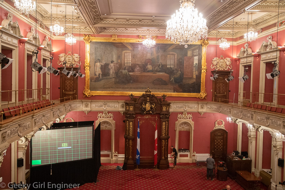
The building is very French in style. Inside, there is symbolism one would expect, including French and British. The chambers are modeled after the British House of Commons and House of Lords. My favorite bit of trivia I learned was that the National Assembly room was originally green like the House of Commons, but when proceedings started being televised, the politicians didn’t like the way they looked with all the green in the room, so the room was repainted blue with all other accents changed from green to blue. The blue works well with the Quebec flag, but it wasn’t changed because of the flag. It was changed because politicians didn’t think they looked good with a green background. The two chambers are mirror images, except the color, artwork, and furniture. They wouldn’t let us take photos in the National Assembly room, which really disappointed me. They had photos of each room outside, so I am including a photo of their photo.
Montreal Museum of Archaeology and History
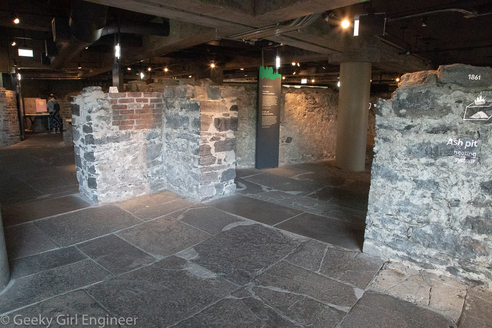
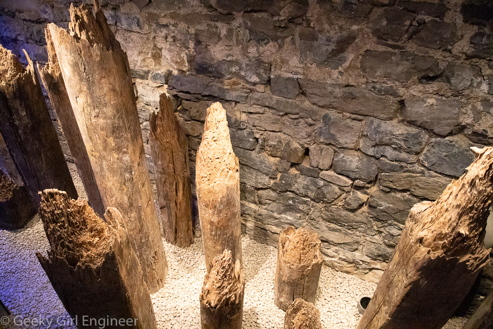
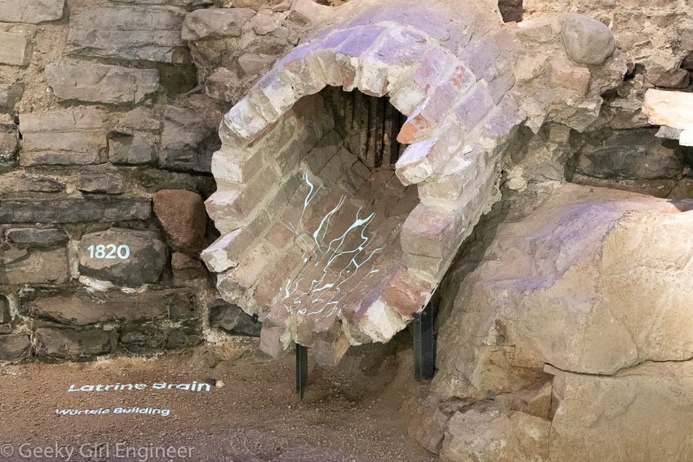
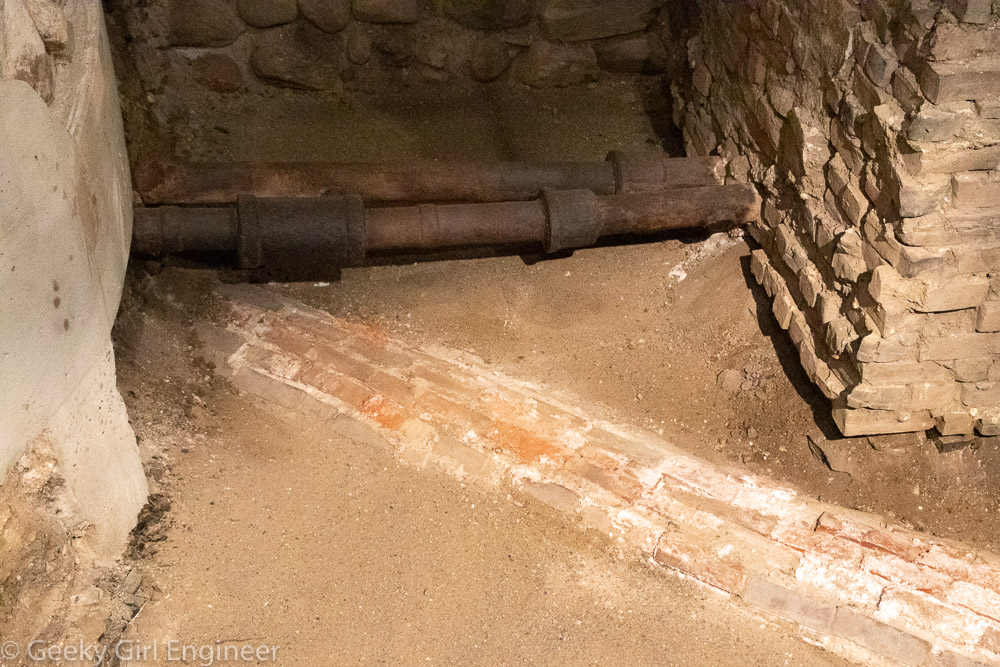
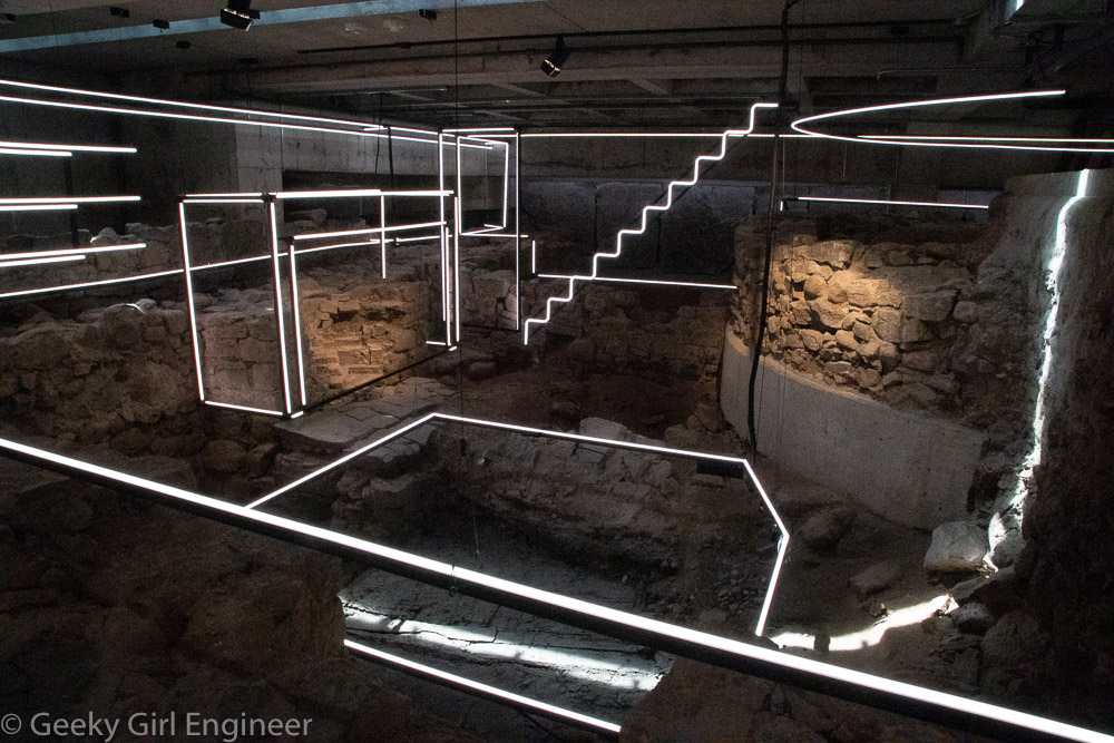
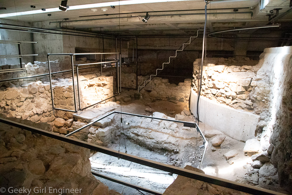
I am currently in Montreal for the second time. The first trip was short, but I visited the Montreal Museum of Archaeology and History, and I really liked it. This trip is also short, but I had time to visit the museum again. Most of the museum is underground in an archeological site of old Montreal. You can walk around the stone walls of buildings that used to stand on the site. The museum does a really nice job of projecting onto the ruins lines and text, so you can understand at what you are looking. They also have stairs, so you can climb on top of ruins and look down onto them without damaging them. Further, in some areas, they have lights hanging from the ceiling that light up during an audio explanation of what is at the site, so the lights emphasize what the used to be at the site based on the ruins.

Foundation of the former Royal Insurance building with a projection showing the inverted arch of the foundation
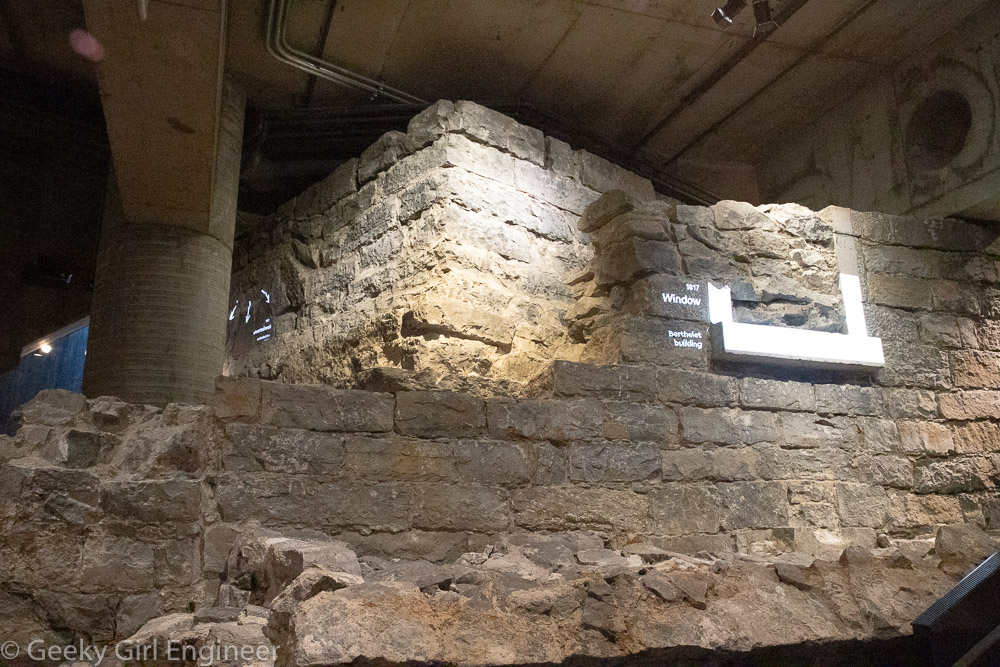
Foundation of the former Royal Insurance building and projection showing window of Berthelet building
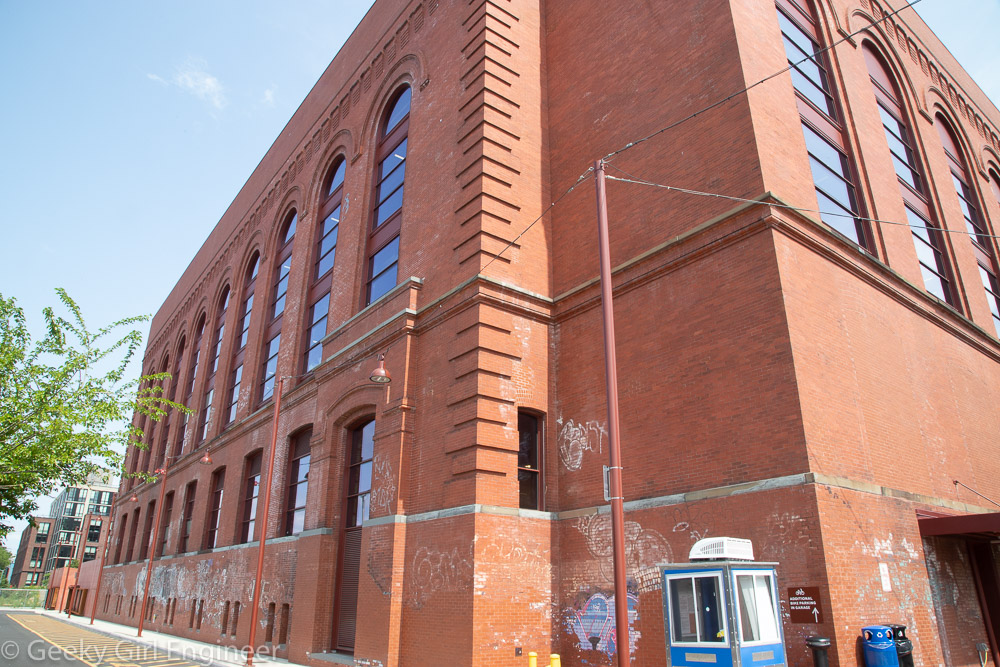
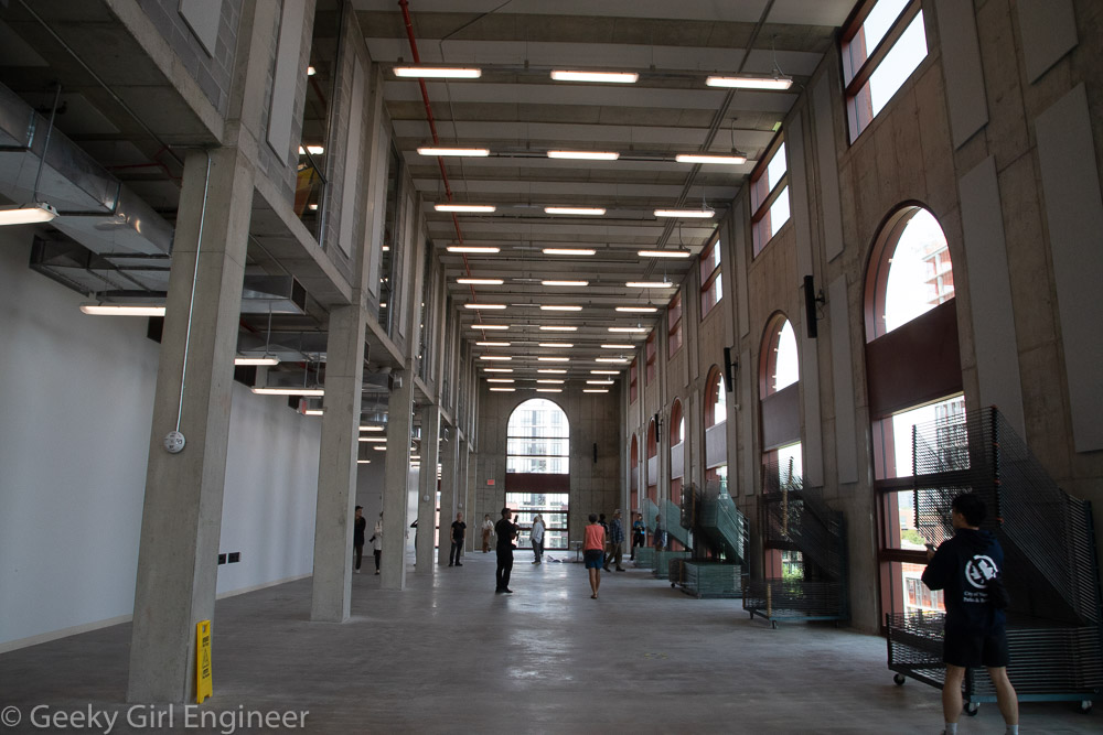
Powerhouse Arts
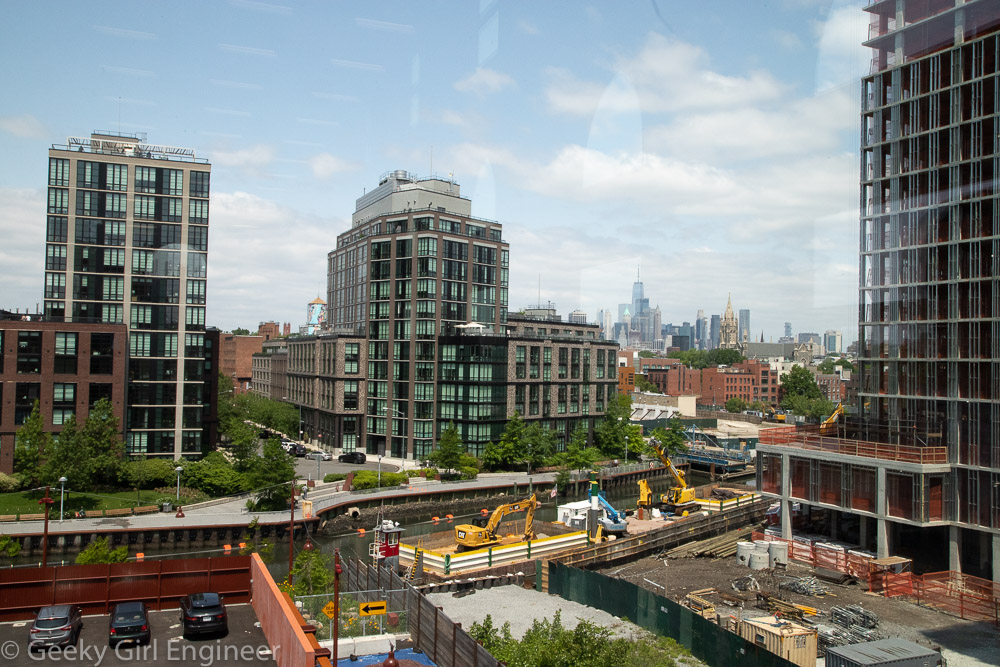
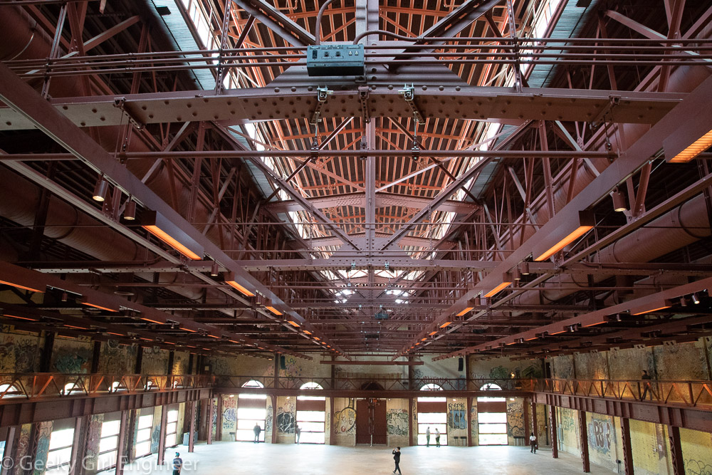
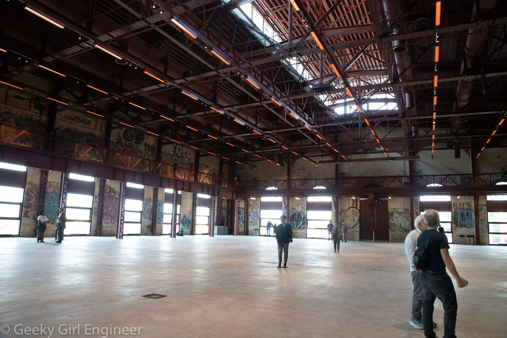
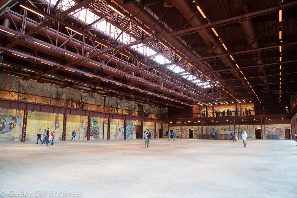
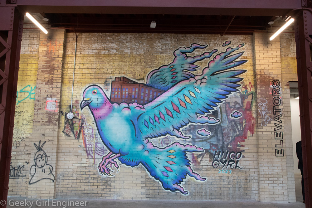
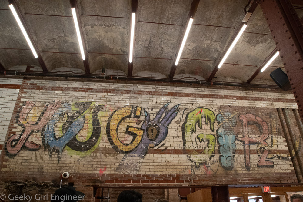
Powerhouse Arts is a new arts and fabrication studio and rental venue housed in a renovated power station in Brooklyn, New York, and they hosted an open house today through Open House New York.The building has been completed renovated, but they have left some of the graffiti on the walls from when the place was essentially abandoned, and squatters lived there. The facility now houses several different art studio areas like a ceramics area and print shop. It also has huge spaces that can be rented. The facility is right on the Gowanus Canal, and it has wonderful views of Brooklyn and Manhattan.
Historic Richmond Town, Staten Island
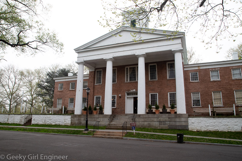
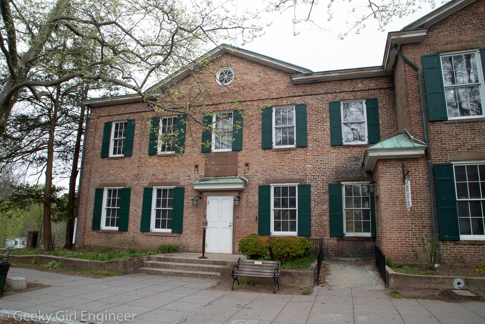
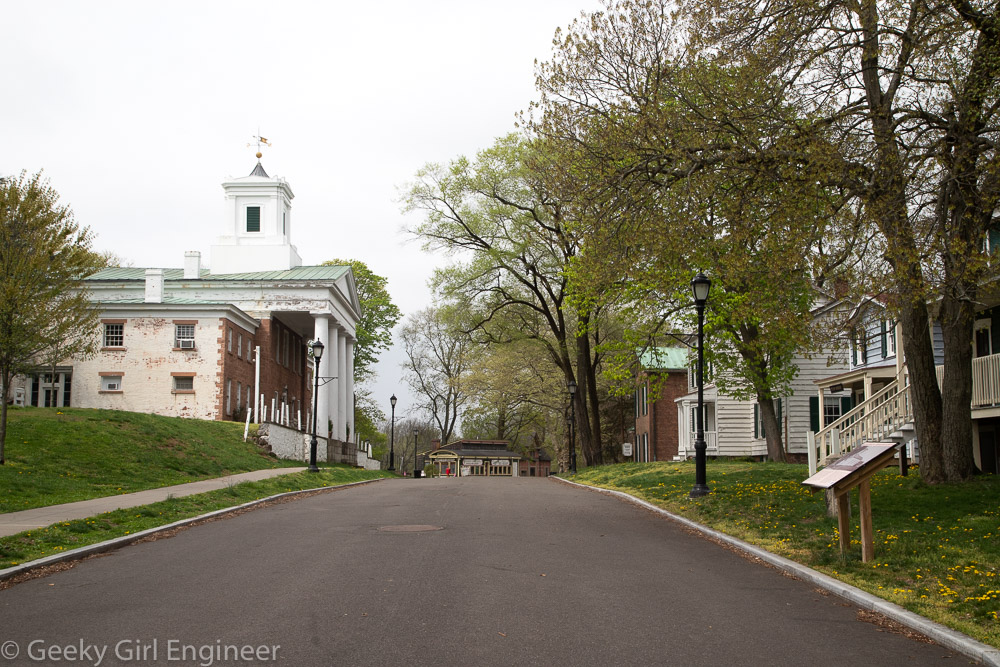
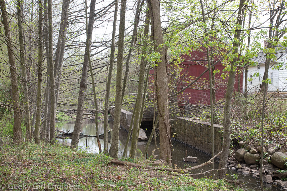
Last week, I went for a guided walk with NYC H2O of historic Richmond Town, Staten Island to hear about the history there, in particular how the water affected the history. Historic Richmond Town is a neat little area as it is a park of historic buildings. If I read the information correctly, some of them were moved there to be part of the preservation area. There is a mill there that operated off the creek that runs by the area. Nearby and also part of our walk is Brookfield Park, which is a former landfill. From an environmental engineering perspective, it is nice to see what the landfill has become. Although it is not clear if remediation is ongoing, as the landfill was rather old, so it is not clear what engineering, if any, went into it.
More Spring Decorations
I have been enjoying making little quilted, front door hangers for holidays and season as well as pillow covers that I change out. Last year I made a pair of table runners for spring. I had fabric left over, so I decided to make a door hanger and pair of pillow covers to match. I like the way they came out.
Google Maps Walking Adventure
I use Google Maps all the time. It is really convenient, and for the most part it works well with various types of travel modes. I probably use it more for walking routes and public transportation than I do for driving. It is far from perfect, and it has a truly annoying habit of refusing to show public transport routes only without cars. It has an annoying habit of telling me to take a car to a subway station, which is just plain silly. You can tell it to give you a no car option, but you have to select that option every single time you use it on the phone. Still, it is useful.
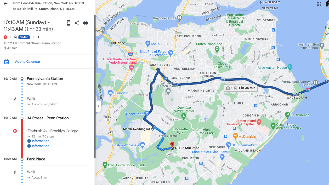
There is a guided walk on Staten Island that I am interested in joining, so I used Google Maps to determine how I could get there on public transportation. Whenever I am in New York City, I always stay in the Penn Station area, so I mapped how to get to the starting point from Penn Station. Below is the route focusing on the Staten Island portion.
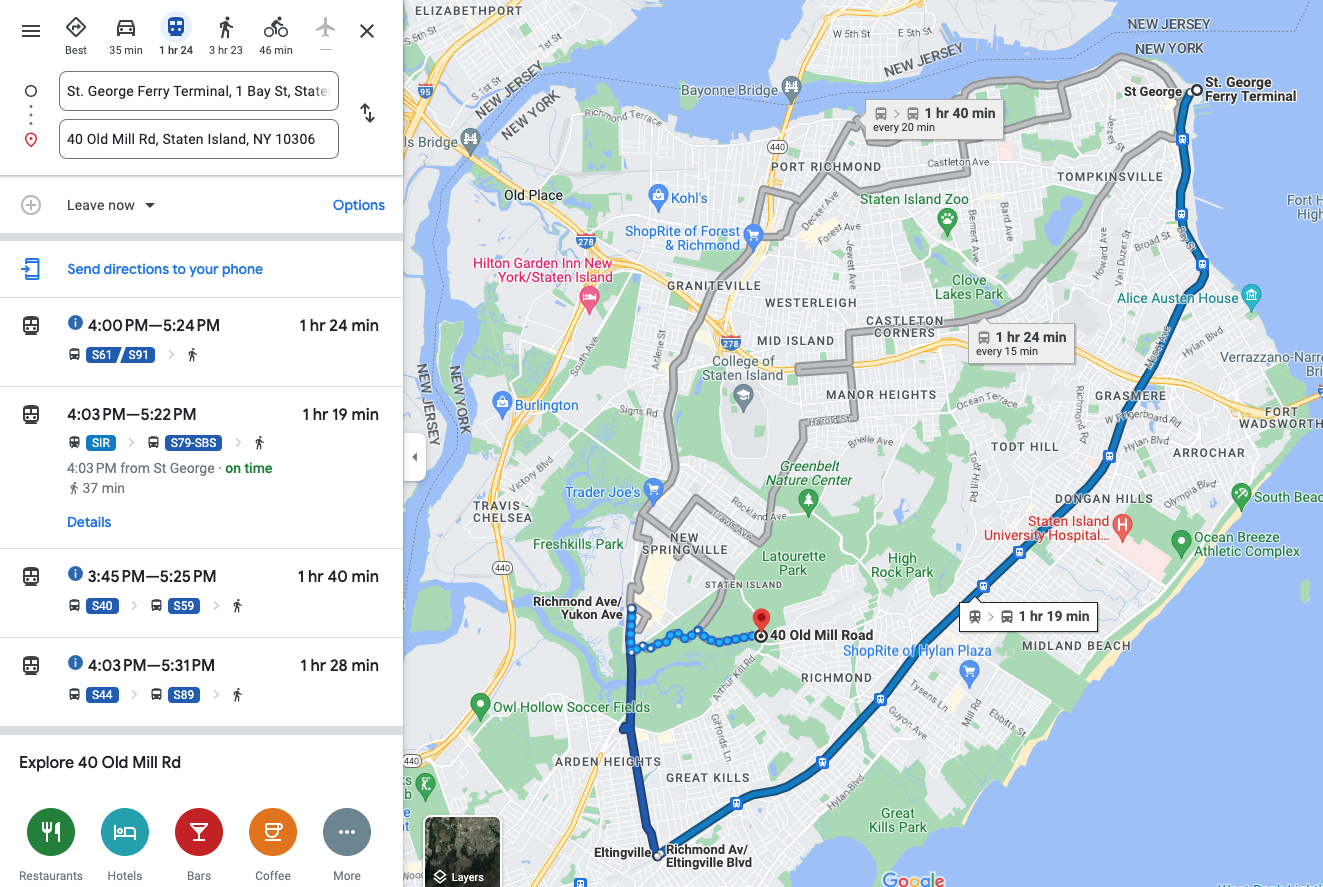
The route involves quite a bit of walking from the final bus stop to the walking tour location, and it did not seem like the quickest route. I noticed that the Staten Island Railway (SIR) has a station not too far from the tour location, and it looks like one of the stations was a shorter route, so I had Google route me from the ferry terminal, which is the terminal for the SIR.
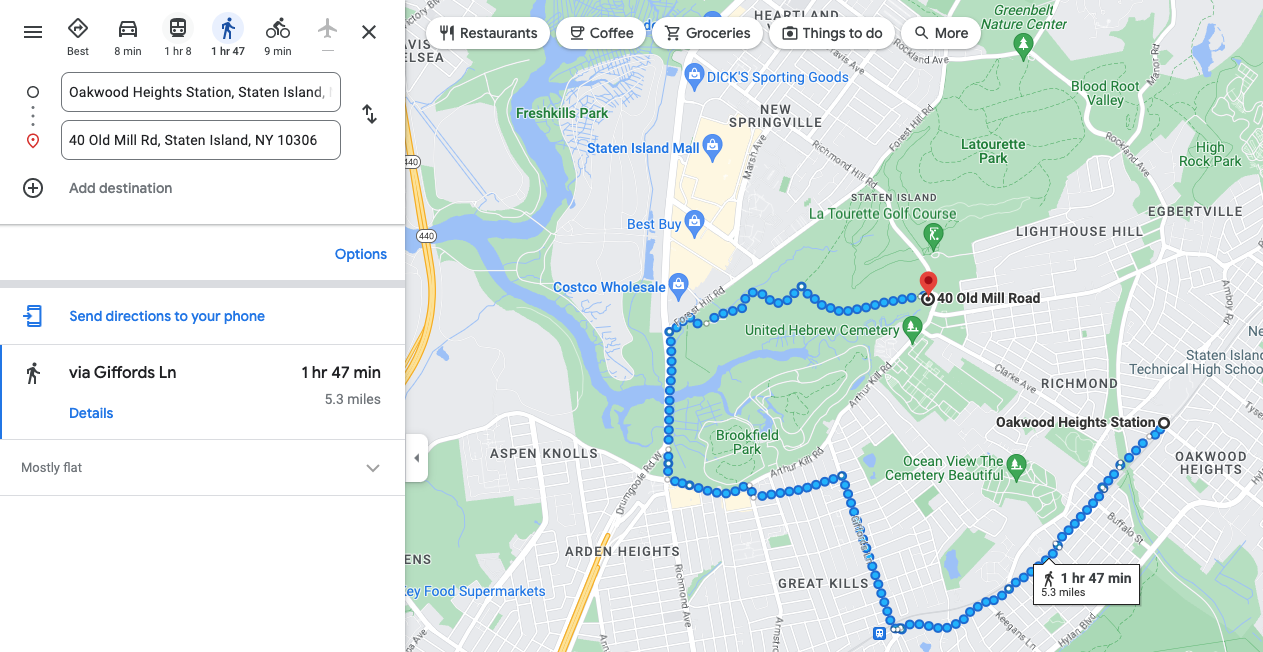
Google Maps obliged and routed me via SIR, but the route seemed even more circuitous. It routes me three stops past the closest one to a bus. It then takes me on the scenic route to the walking tour location. I tried then to get it to route me from the closest SIR station to tour location.
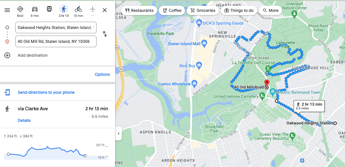
Google Maps really wants me to take a walking tour of Staten Island, I guess. This is clearly not the most direct route. I then tried to force it to take me on the more direct route by moving the route. Things just got silly at that point.
This clearly is an absurd route, and it also seems to be taking me on a tour of a golf course, which is probably not an actual walking route. I thought perhaps I was missing something, like a road that was not open or something, so I had it route me from the same starting to ending point but in a car.
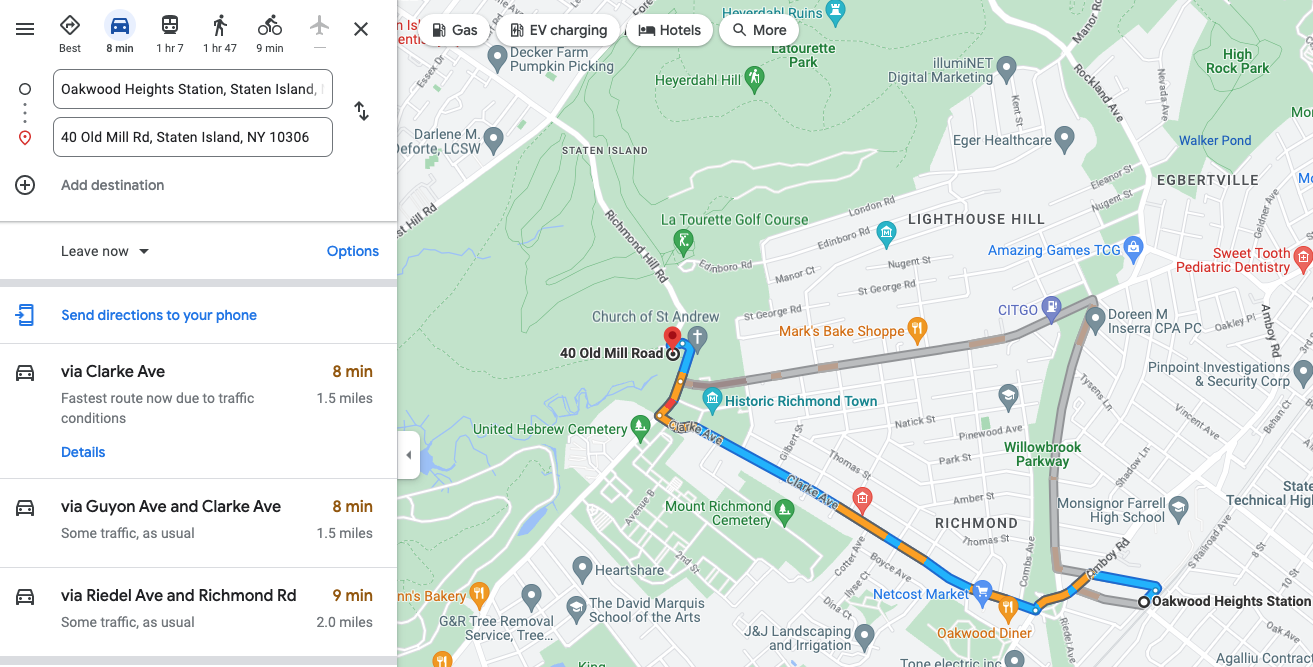
What do you know, it knows there is a direct route, but it just refuses to believe you can walk it. I played with it for quite a bit. I also used street view to try to figure out why it would not let me walk on the same street it would let me drive.
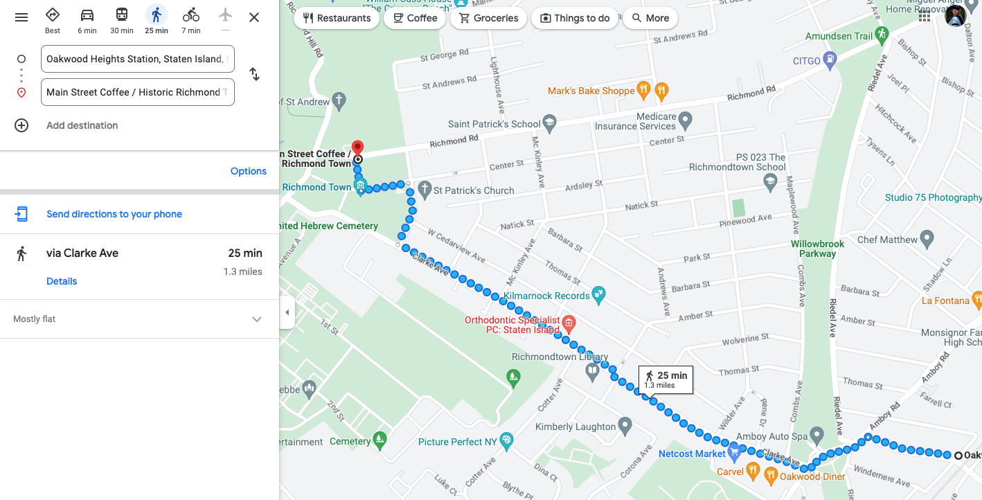
After much experimenting, I finally found that it would give me a direct walking route to a nearby coffee shop. I still don’t know why Google Maps will not let me walk directly on to where I want to walk. My best guess is that part of the walk does not have sidewalks. The route definitely does not involve some sort of freeway or similar where it would be dangerous for a pedestrian. However, the answer can’t be lack of sidewalks because a part of the route above does not have sidewalks either based on Google street view. Thus, I don’t know.
TL/DR: AI is not taking over the world yet, at least for navigation.

